Boise: Birds of Prey

Mapped by Jason Kauffman


Trail Facts
- Distance: 9.4
Waypoints
BOP001
Location: 43.2439384460449, -116.377532958984
Hike SW across the Swan Falls Dam
BOP002
Location: 43.2421073913574, -116.380477905273
Once on the Snake River’s W side, cross gravel area and pick up trail
BOP003
Location: 43.2369117736816, -116.378921508789
Stay R as trail turns N and begins steep climb
BOP004
Location: 43.2406921386719, -116.382919311523
Stay R @ Y in road, bearing NW
BOP005
Location: 43.2419776916504, -116.38599395752
Turn R @ Y in road. Turn R again @ Y just 10 yards ahead
BOP006
Location: 43.2491607666016, -116.389205932617
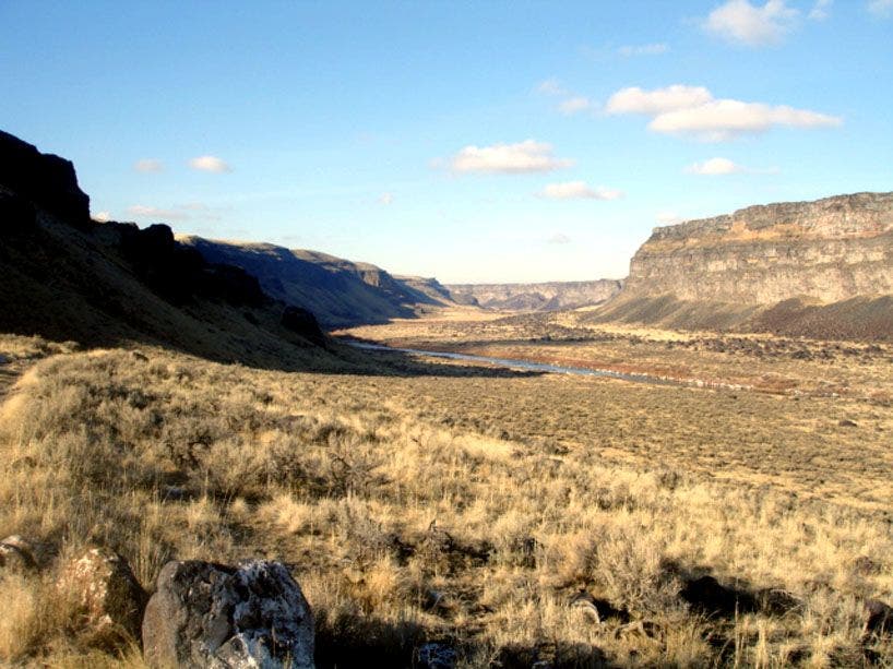
Photo op: Sweeping buttes frame the tawny meadows of the Snake River canyon
BOP007
Location: 43.2498207092285, -116.39030456543
Continue straight along old 4×4 road, heading NW downriver
BOP008
Location: 43.2523727416992, -116.391105651855
Turn L @ Y; ongoing views of the Snake River and surrounding gorge for the next 4 mi.
BOP009
Location: 43.2814788818359, -116.408073425293
Look for the remains of an old orchard to L near homestead of the long-abandoned Priest Ranch
BOP010
Location: 43.2898216247559, -116.422180175781
Pass cable crossing over Snake River
BOP011
Location: 43.2922325134277, -116.43009185791
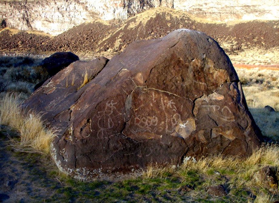
Take faint trail to L. The dark boulders in this field hide ancient panels of Native American rock art. Each petroglyph tells its own story. Take photographs, but don’t touch
Snake River Canyon
Location: 43.2484855651856, -116.38875579834
©Jason Kauffman
Snake River Petroglyphs
Location: 43.2922668457031, -116.430404663086
©Jason Kauffman