Sharp Top Mountain Trail

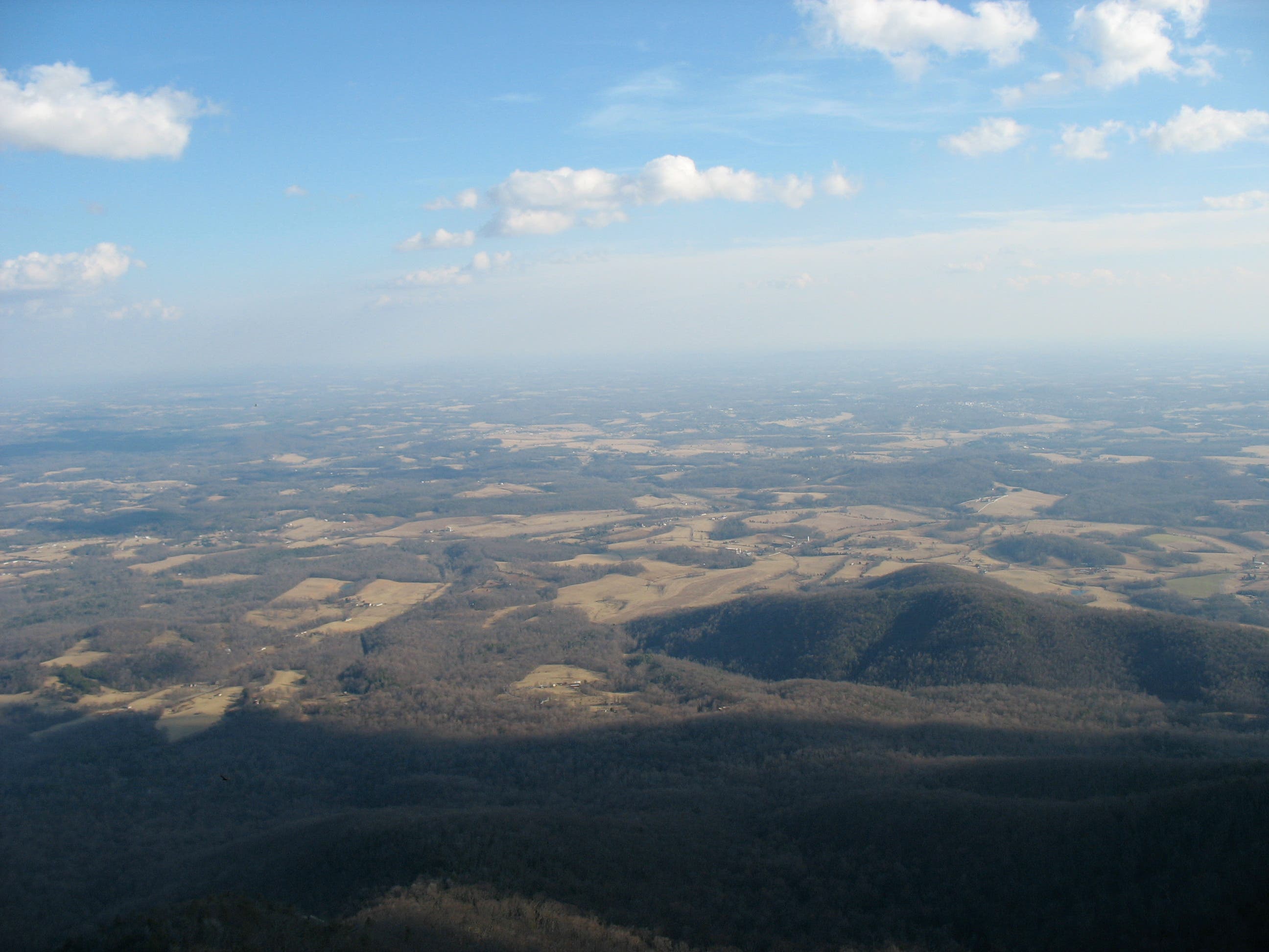
The Washington Monument, completed in 1884, contains an engraved stone block recognizing 3,875-foot Sharp Top Mountain as Virginia’s highest peak. Although this was later proved inaccurate by the 5,729-foot Mount Rogers, the Sharp Top Mountain hike found on the Blue Ridge Parkway still reigns supreme when it comes to views. From the summit, peak baggers enjoy a stunning 360-degree view that sweeps across the farm-dotted eastern lowlands to the Blue Ridge Mountains and the western Shenandoah Valley.
The trail is very rocky in spots, so consider bringing along your trekking poles or a walking stick. You may also encounter deep, slippery pockets of mud several days after a rain or snowstorm. The trail is great for families or a walk with your dog.
Trail Facts
- Distance: 3.2 miles round-trip
- Elevation: 1,300 feet
- Difficulty: Easy
- Dog-friendly: Yes, on a leash
The Route
This quick and easy route breakdown will give you a nice overview of your hike from the Sharp Top Mountain trailhead to the summit and back as well as what to expect along different sections on the way.
-Mapped by Amy C. Balfour
Sharp Top Mountain Trailhead to the Shuttle Bus Route

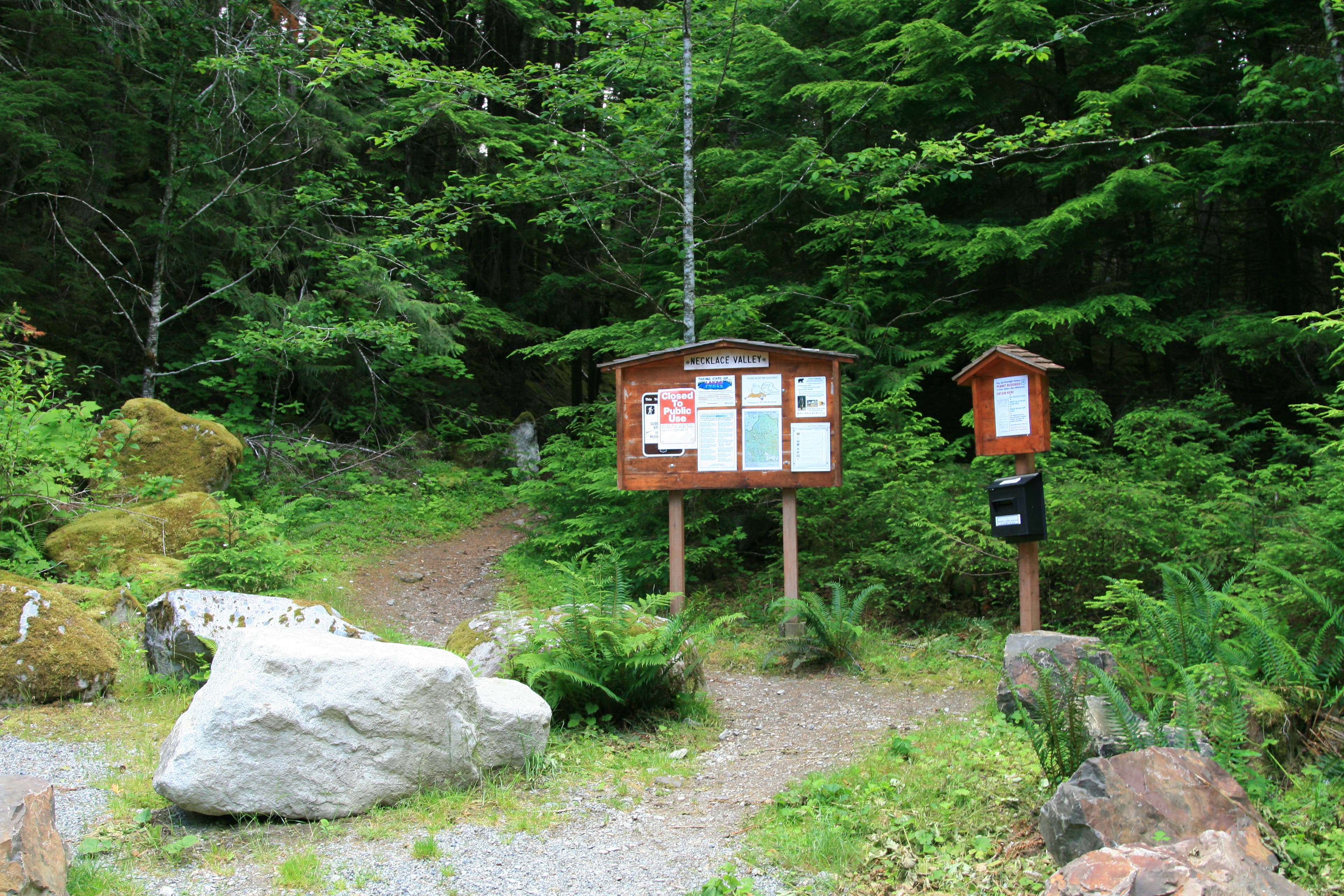
The Sharp Top Mountain trailhead is located on the Blue Ridge Parkway at MP86 right beside the camp store. If you can’t find parking at the trailhead, you can park at the Peaks of Otter Visitor across the street. This lot not only offers great views of Sharp Mountain but is easily accessible to the trailhead via a pedestrian sidewalk across the parkway.
The Shuttle Bus Route to Stone Steps

The hike begins with a moderate climb along the mountain’s base. Continue straight across the shuttle bus route—shuttles run from the parking lot to the top of the peak in summer—to rejoin the trail, which ascends more steeply at this point. Dense forest gives way to ever-expanding mountain-and-valley views to the southeast. The easy-to-follow path winds over—and sometimes through—roots, rocks, and felled trees.
Stone Steps to Boulder Field

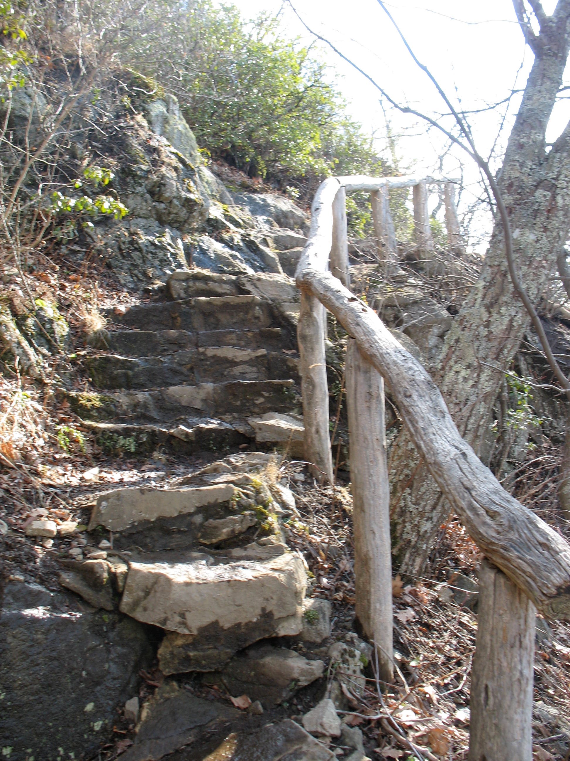
As you climb the southern slope of the mountain, sweeping views of the Blue Ridge fill the horizon. This no-nonsense trail has little use for switchbacks and there are only a few as it shoots toward the summit. Steep, stone-cut steps are the efficient (and quad- busting) substitute. Keep going until you come to a boulder field that looks out of place so high on the mountain.
Boulder Field to Sharp Top Mountain Summit

As you pass through a boulder field, look ahead for a rocky outcropping known as Buzzard’s Roost, whose overlook is reached by a short spur trail 1.3 miles from the trailhead. According to a sign near the summit, the boulders formed after diorite rock split apart along weather-weakened seams.
Turn left at the Buzzard’s Roost Spur Trail to continue to Sharp Top Mountain’s bouldery peak. Tattered shreds of old blacktop mark the way as you approach the final ascent where the trail coils steeply to the summit. Pass an old stone building then take the last few steps to the top for the full panorama.
For an optional detour (and overlook), follow the signed Buzzard’s Roost spur trail for about 600 feet to Buzzard’s Roost.
The Summit

Once you reach the top, hike past the empty stone building, a former concession stand, and climb a few steps to the boulder-covered summit. Abbott Lake and Flat Top Mountain (just taller at 4,001 feet) are visible to the north. Look southeast to the farm-dotted community of Bedford and west to the Shenandoah Valley.