Blue Ridge Parkway, VA: Flat Top Mountain

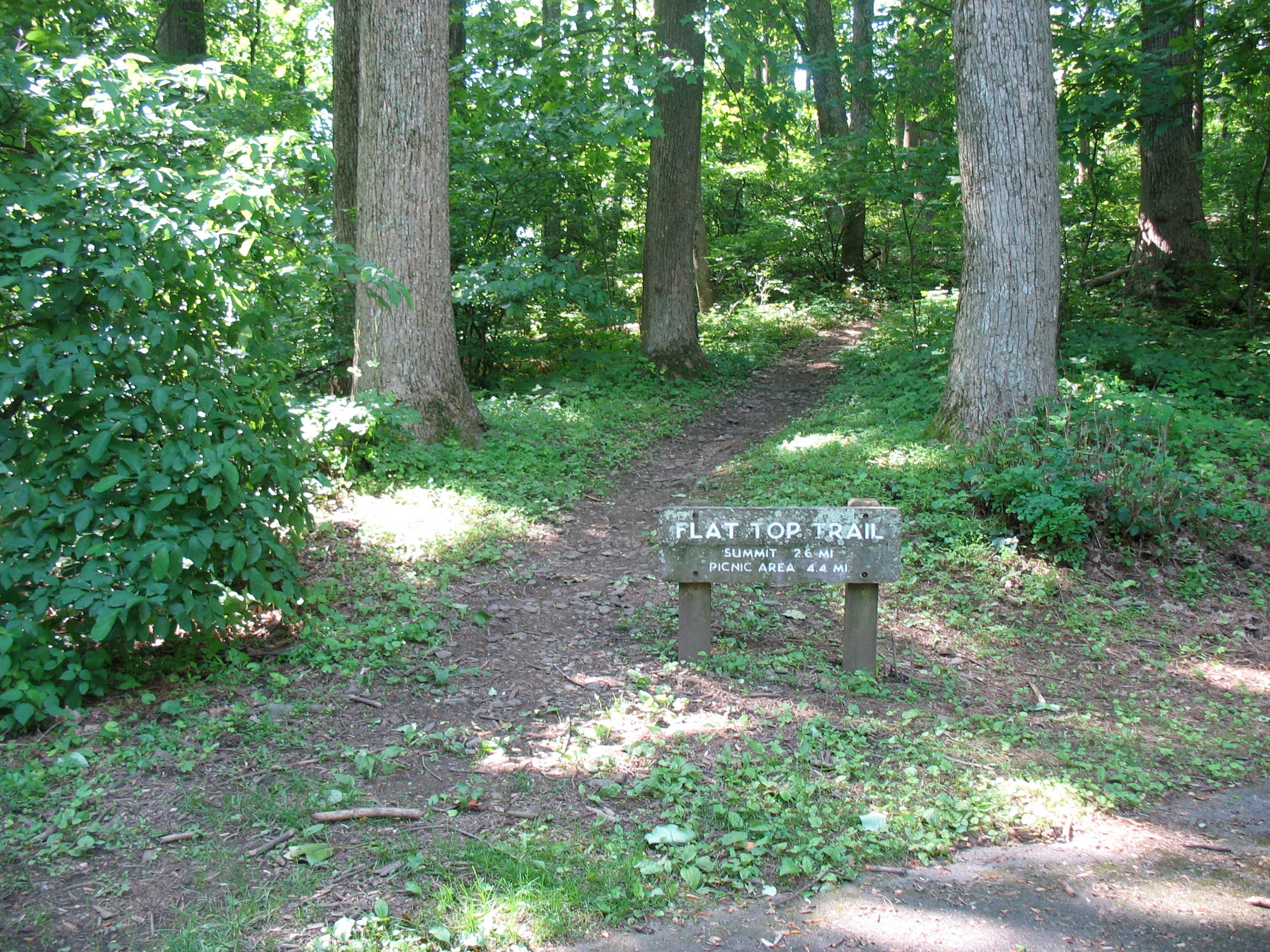
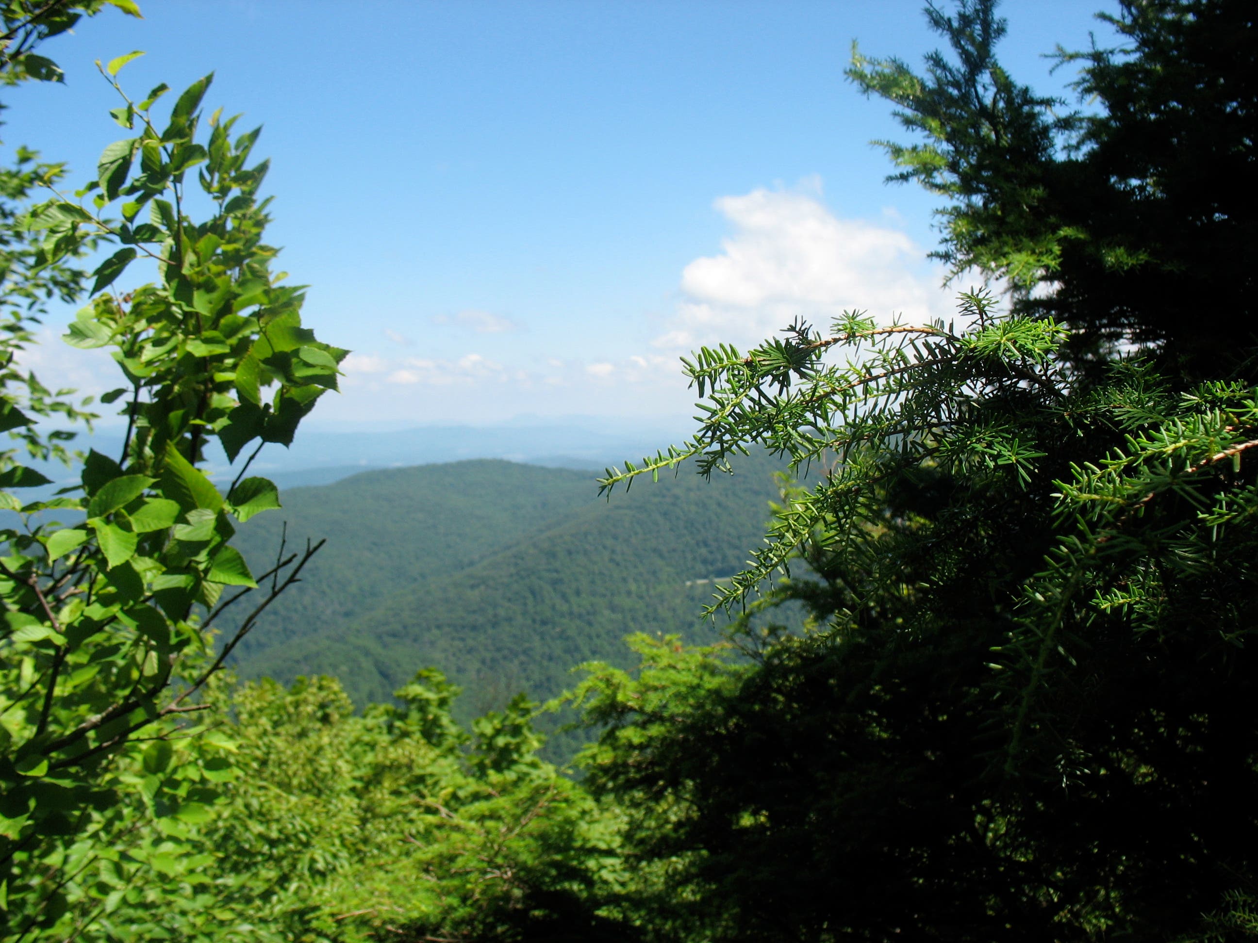
Flat Top Mountain may not have the extreme popularity of Sharp Top Mountain or the historic allure of Harkening Hill (its neighbors to the south), but it does have two distinct advantages: a lightly traveled summit trail and an unbeatable ridge-top picnic spot. From the northern trailhead (there’s another near Abbot Lake), this tree-lined route starts off with a short, level run just above the parkway before switchbacking up Flat Top’s western slope. Tree-framed views of Harkening Hill and Johnson Farm are soon visible to the south.
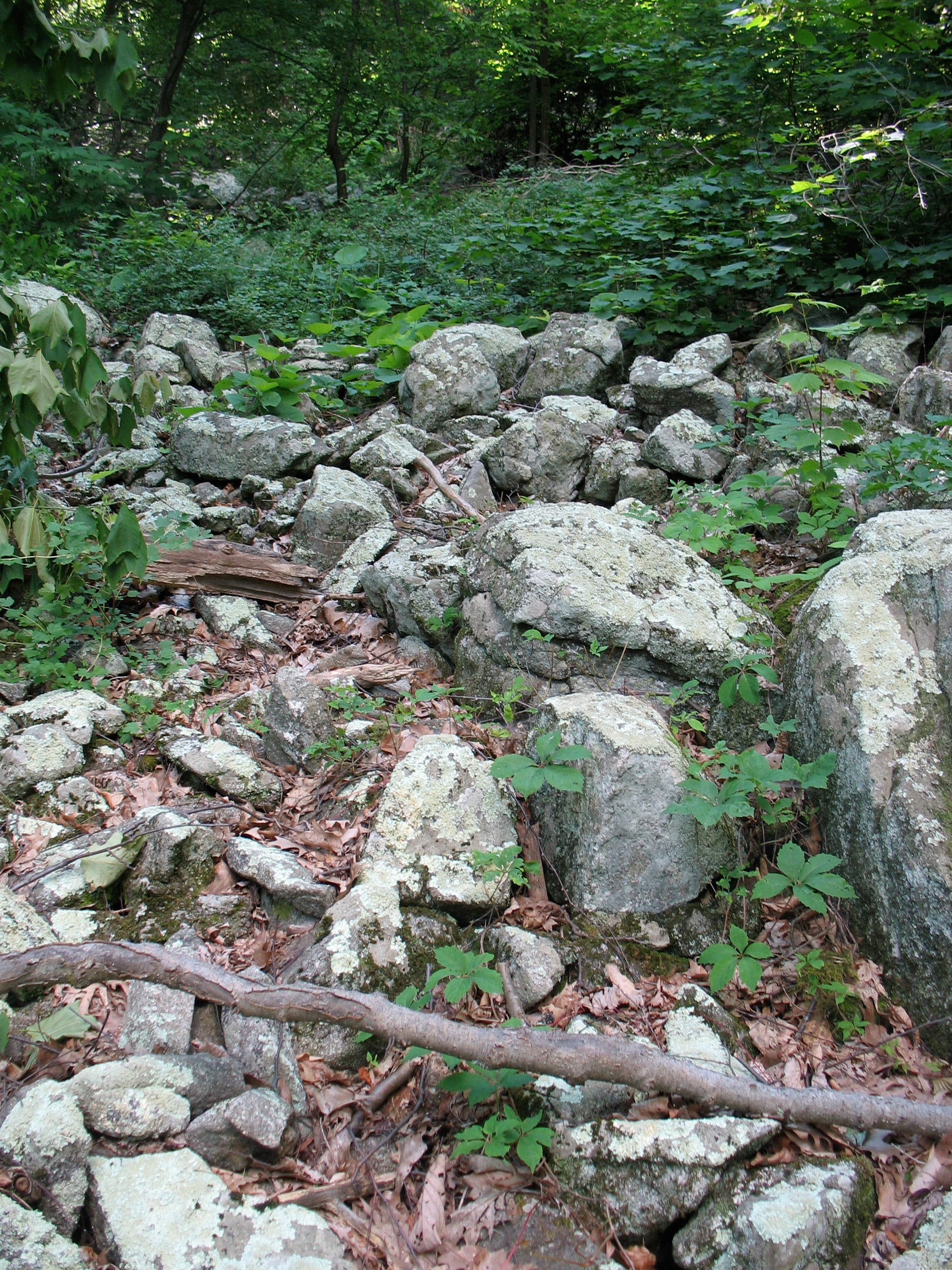
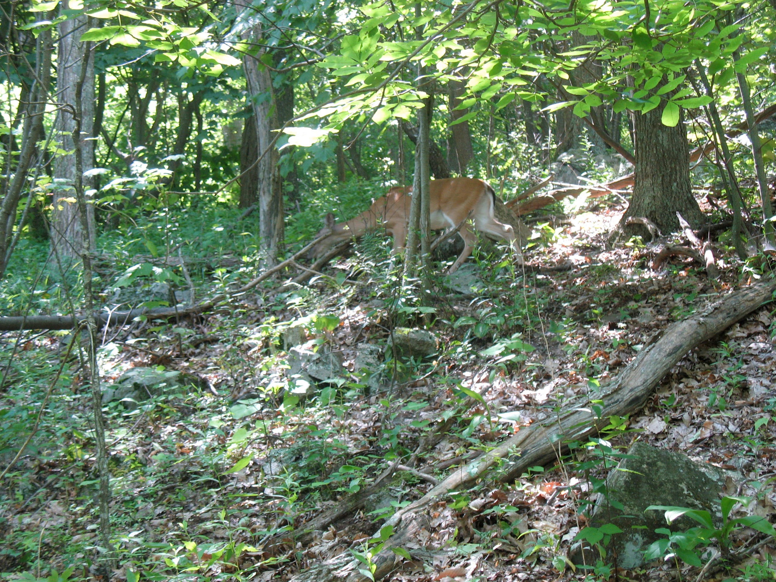
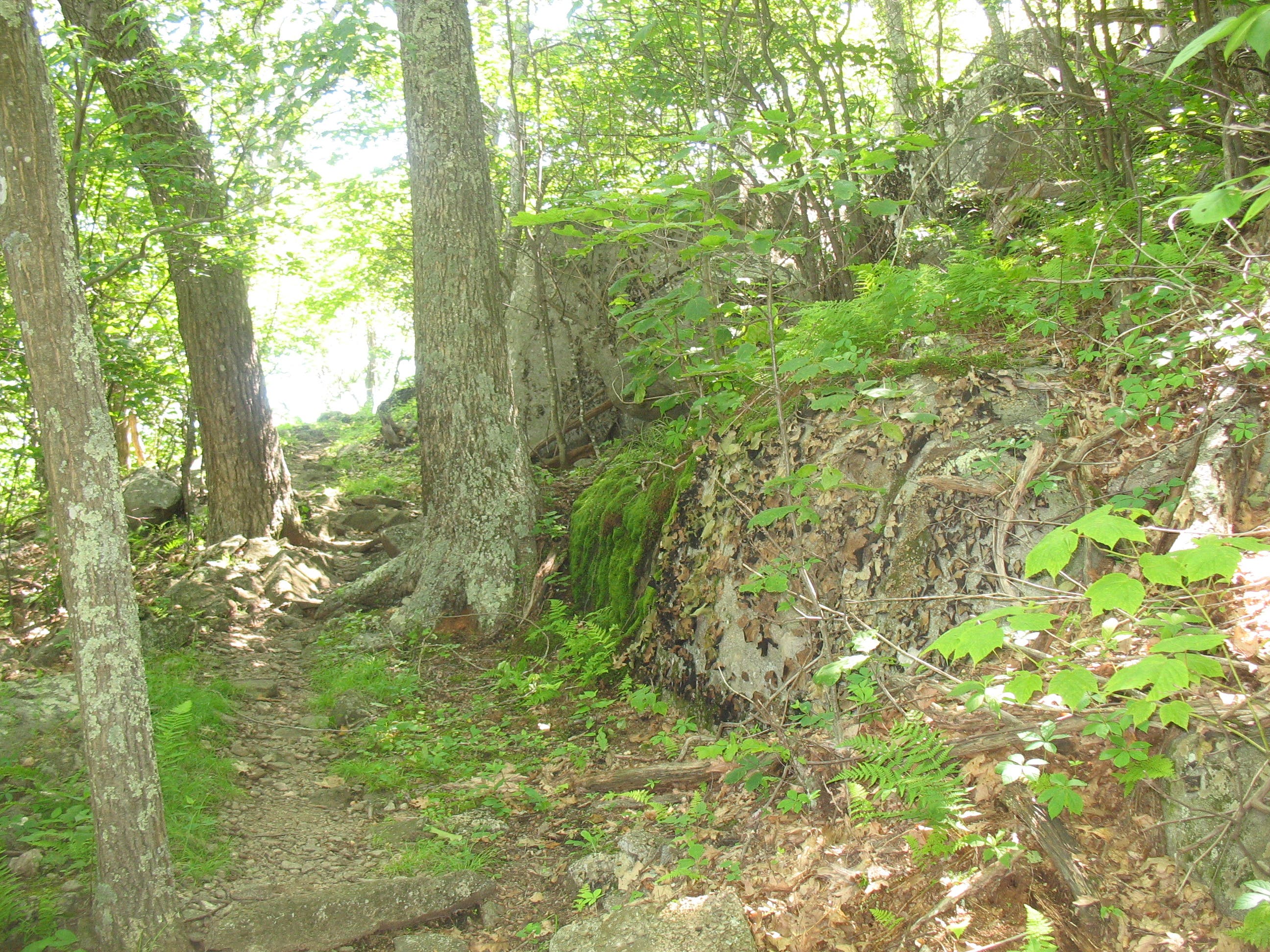
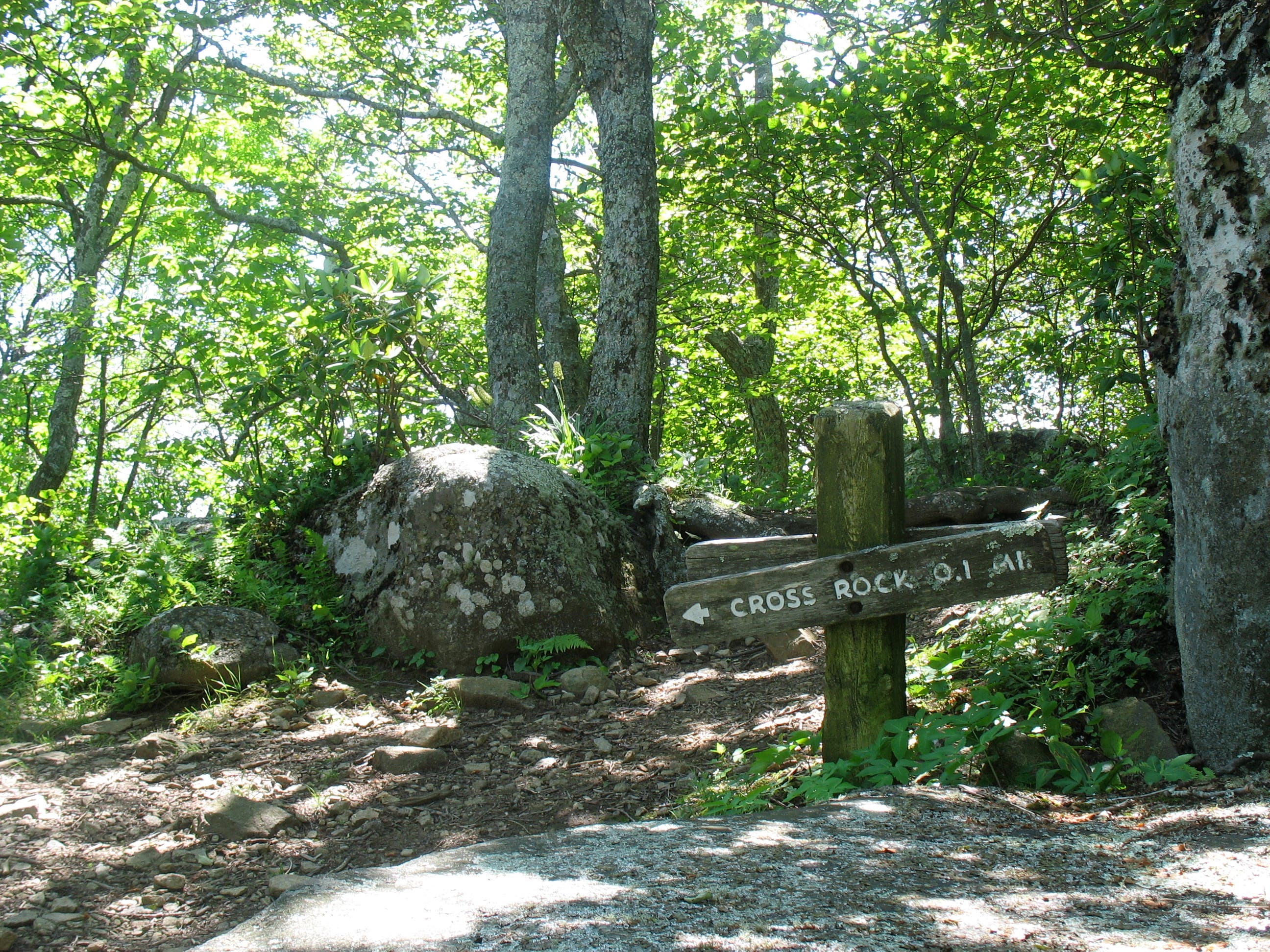
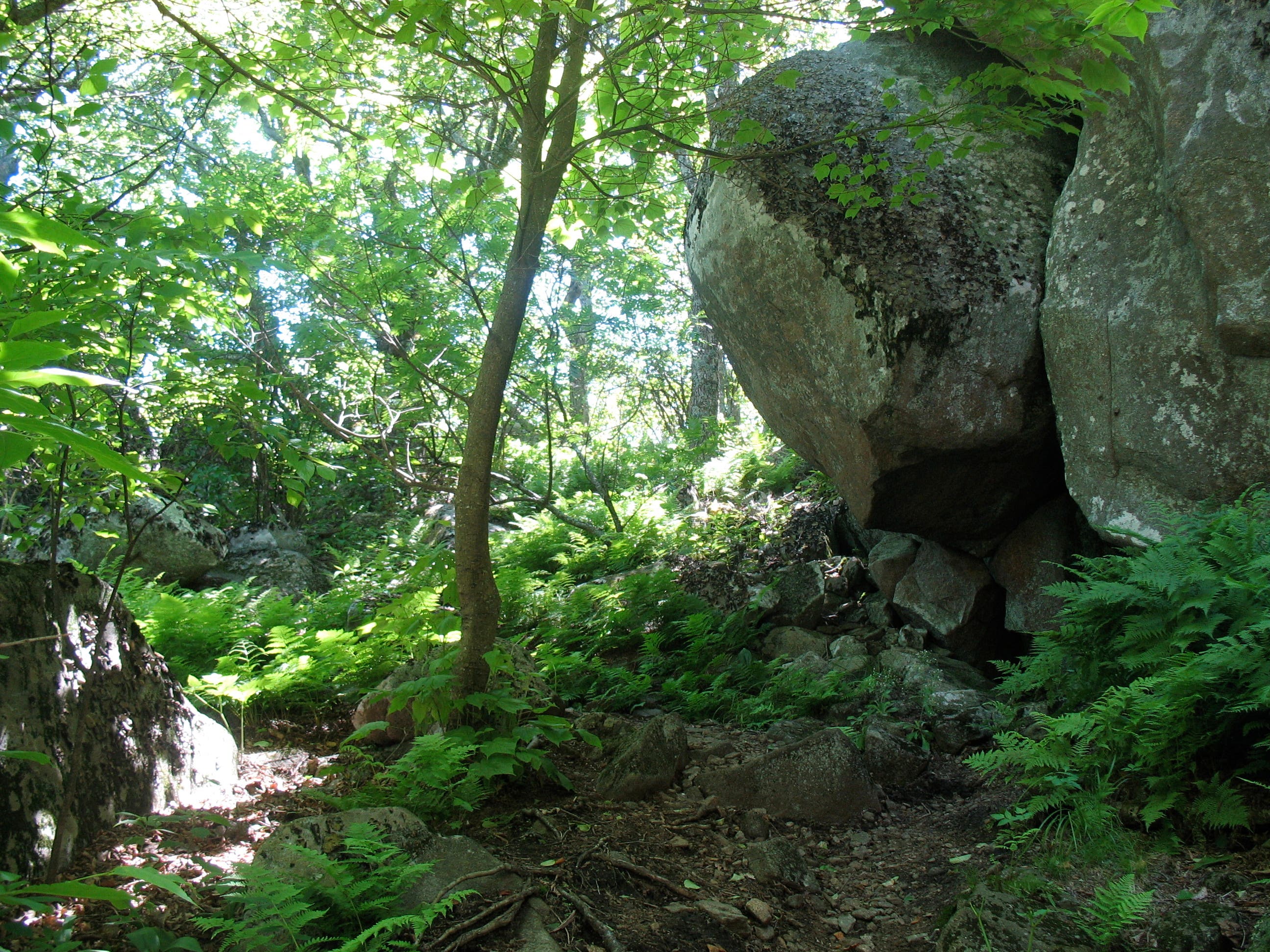
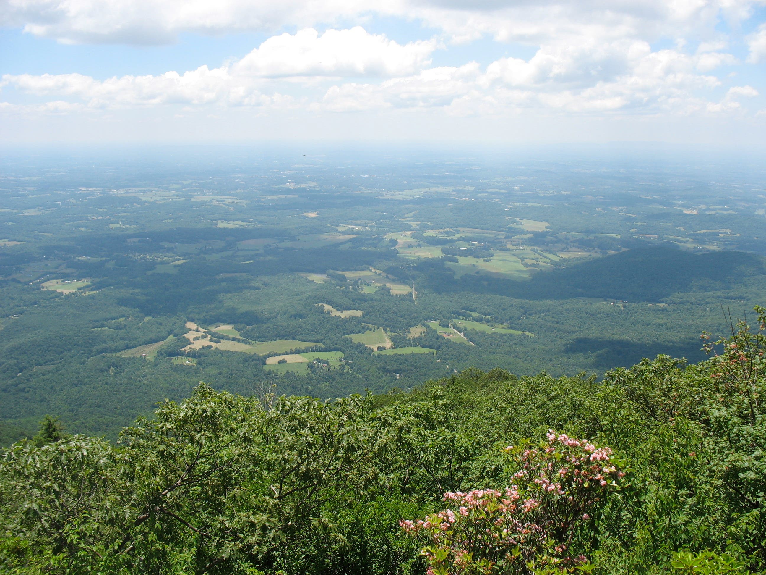
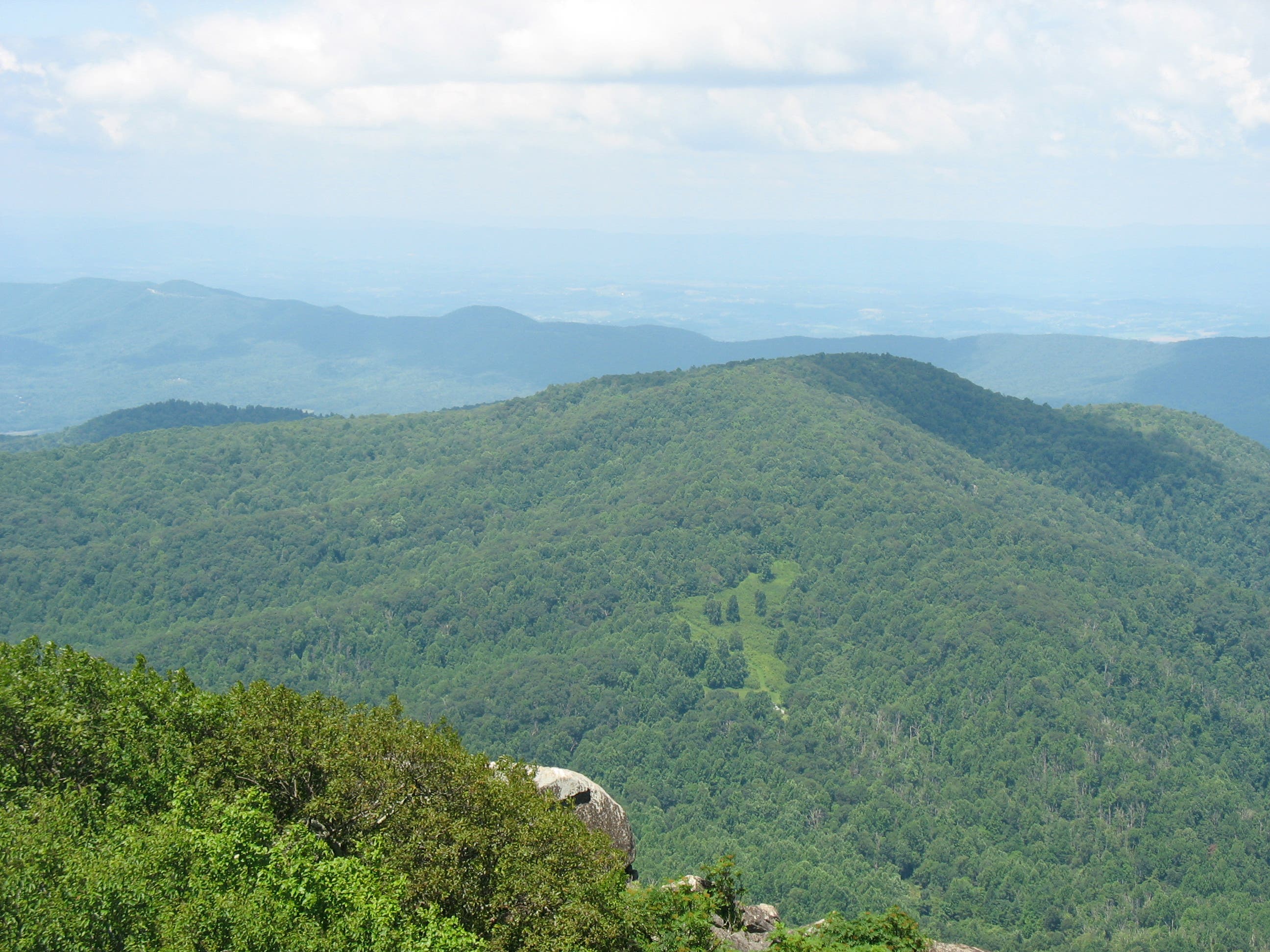
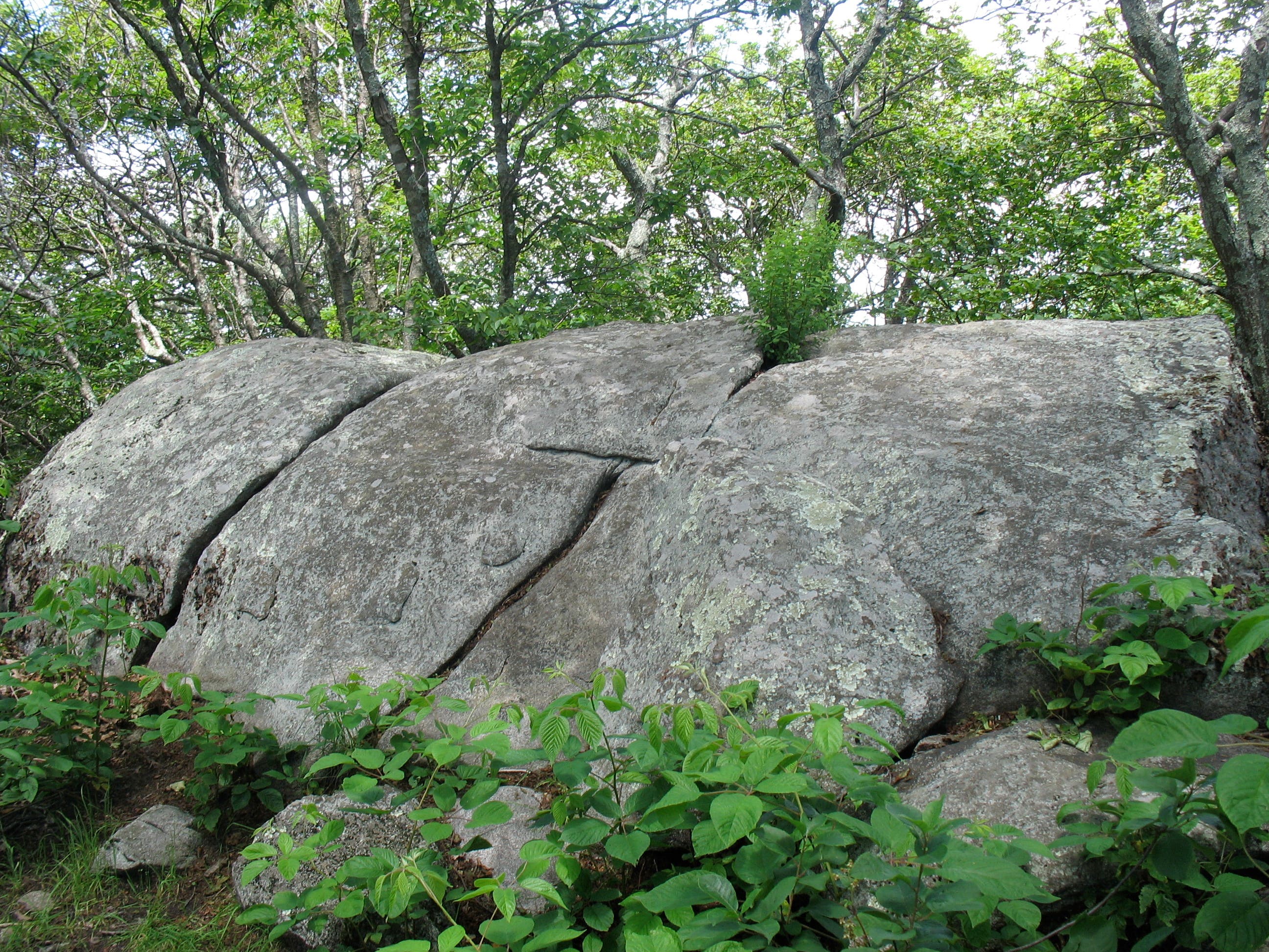
The trail swings away from the road, passing numerous lichen-covered boulders—and maybe a deer or two—as it twists toward the summit. After passing the Cross Rock Trail junction at 2.2 miles, the path levels off along the mountain’s spine, ending with a final short push to the top. The summit marker is missing, but the high point is a central boulder pile between rock outcroppings on the east and west ridges. A spur trail leads to the east ridge where pancake-flat boulders make for a prime picnic spot. From here, savor views of Bedford and the Piedmont Valley to the east and the summit of Sharp Top just south. Follow the same route back to the trailhead.
MORE PARK INFO: Blue Ridge Parkway, (828) 271-4779; nps.gov/blri/.
-Mapped by Amy C. Balfour

Trail Facts
- Distance: 8.7
Waypoints
FTM001
Location: 37.4684633, -79.5804709
The trailhead is located just north of milepost 84, on the eastern side of the parkway.
FTM002
Location: 37.4606032, -79.5853257
Pass a wooden bench just before the series of switchbacks that lead up the side of the mountain.
FTM003
Location: 37.4605734, -79.5844674
The trail crosses a cascade of boulders. Look left for a tree-framed glimpse of mountains to the north.
FTM004
Location: 37.4610802, -79.5828474
Hike past a felled tree that partially blocks the trail.
FTM005
Location: 37.4577502, -79.5838344
Trail turns sharply left.
FTM006
Location: 37.4569923, -79.5775795
The short, but very steep, Cross Rock Trail descends to a unique rock formation. Turn right to continue to the Flat Top summit.
FTM007
Location: 37.4521419, -79.5825791
A short spur trail forks left, leading to flat boulders with sweeping views east.
FTM008
Location: 37.4518461, -79.582476
Picnic-ready boulders overlook sweet views of Bedford and the Piedmont Valley to the east and Sharp Top to the south.
FTM009
Location: 37.4520928, -79.5831854
This boulder-topped ridge showcases views of Harkening Hill to the southwest.
FTM010
Location: 37.451996, -79.5827985
Flat Top’s summit marker is missing, but the high point is a central boulder pile located between rock outcroppings on the east and west ridges. Follow the same route back to the trailhead.
Views of Sharp Top Mountain
Location: 37.4519417, -79.5827132
Flat Top Mountain Trailhead
Location: 37.4680418, -79.5804387
Boulder Cascade
Location: 37.4605777, -79.5844084
Trailside Deer
Location: 37.4592066, -79.5832551
Boulders and Moss
Location: 37.4570178, -79.5815814
Junction with Cross Rock Trail
Location: 37.4570008, -79.57744
View East from Ridgeline
Location: 37.4564642, -79.5779765
Boulder Grove
Location: 37.4523527, -79.5828581
Views of the Piedmont Valley
Location: 37.4518459, -79.5824423
Harkening Hill
Location: 37.4520928, -79.5831854
The Summit
Location: 37.4519928, -79.5827723
Summit Marker
Location: 37.4518991, -79.5826489
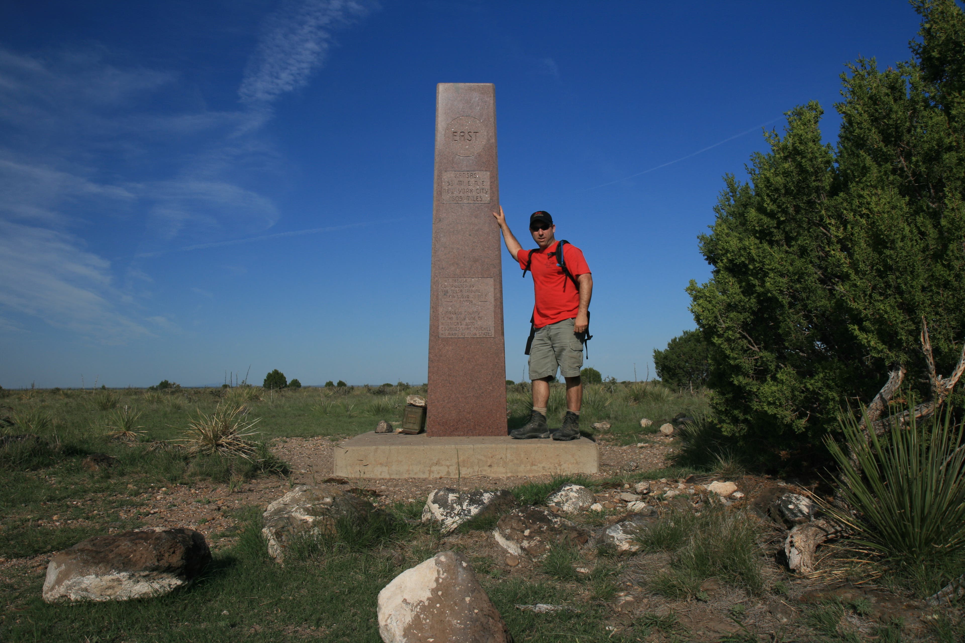
This summit marker is found to the east of the summit.