Blue Ridge Parkway: Humpback Rocks Loop

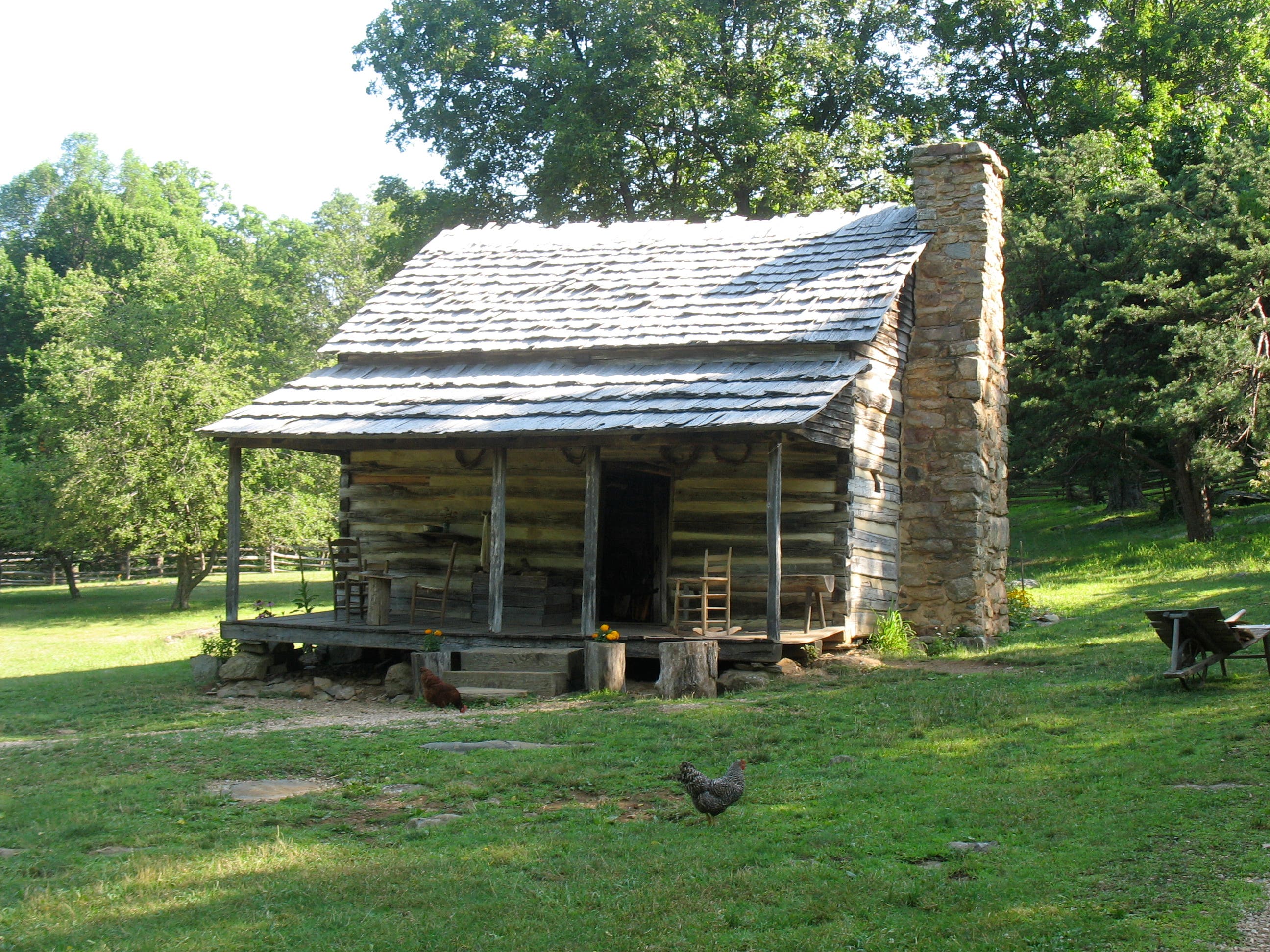
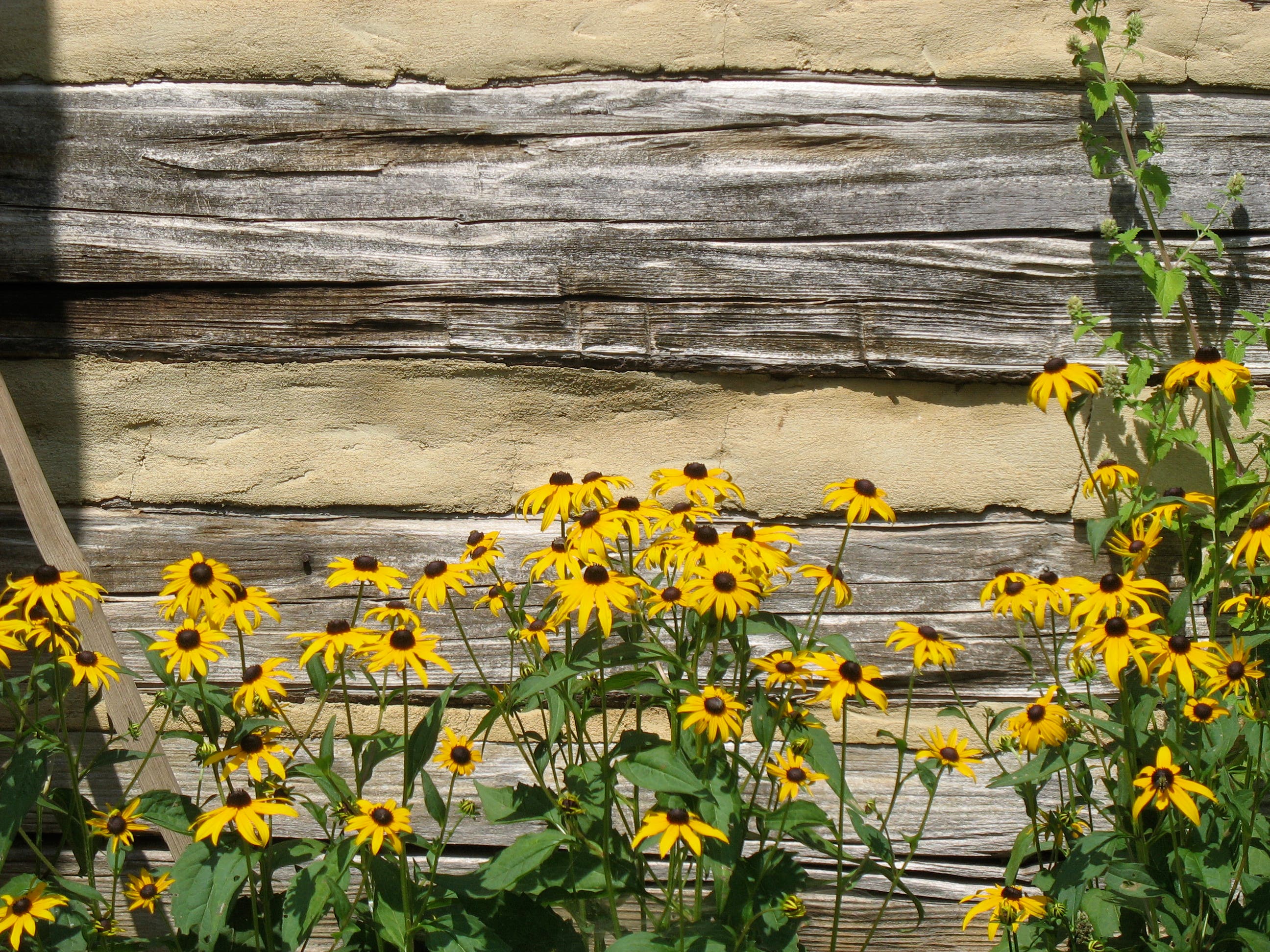
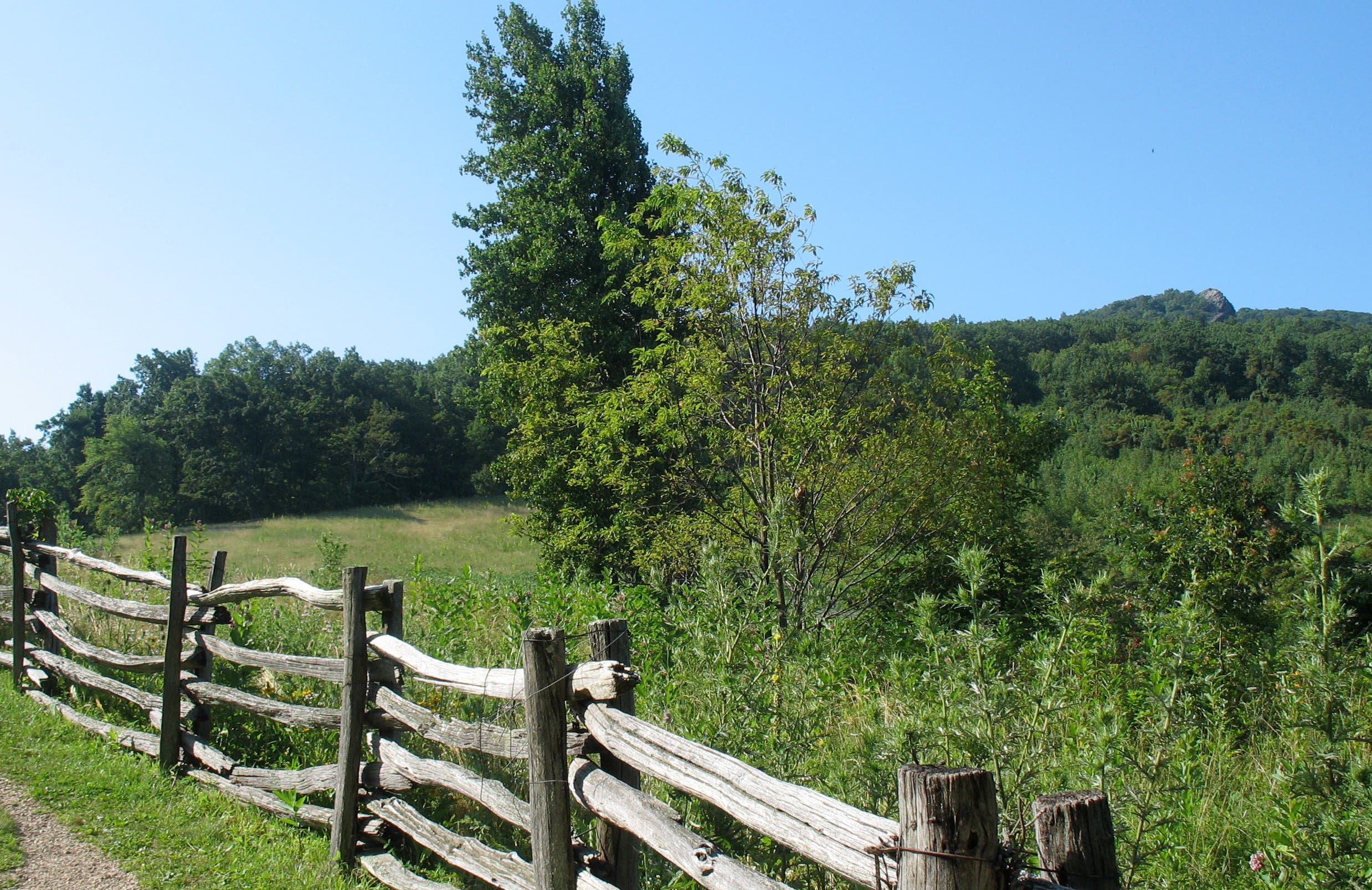
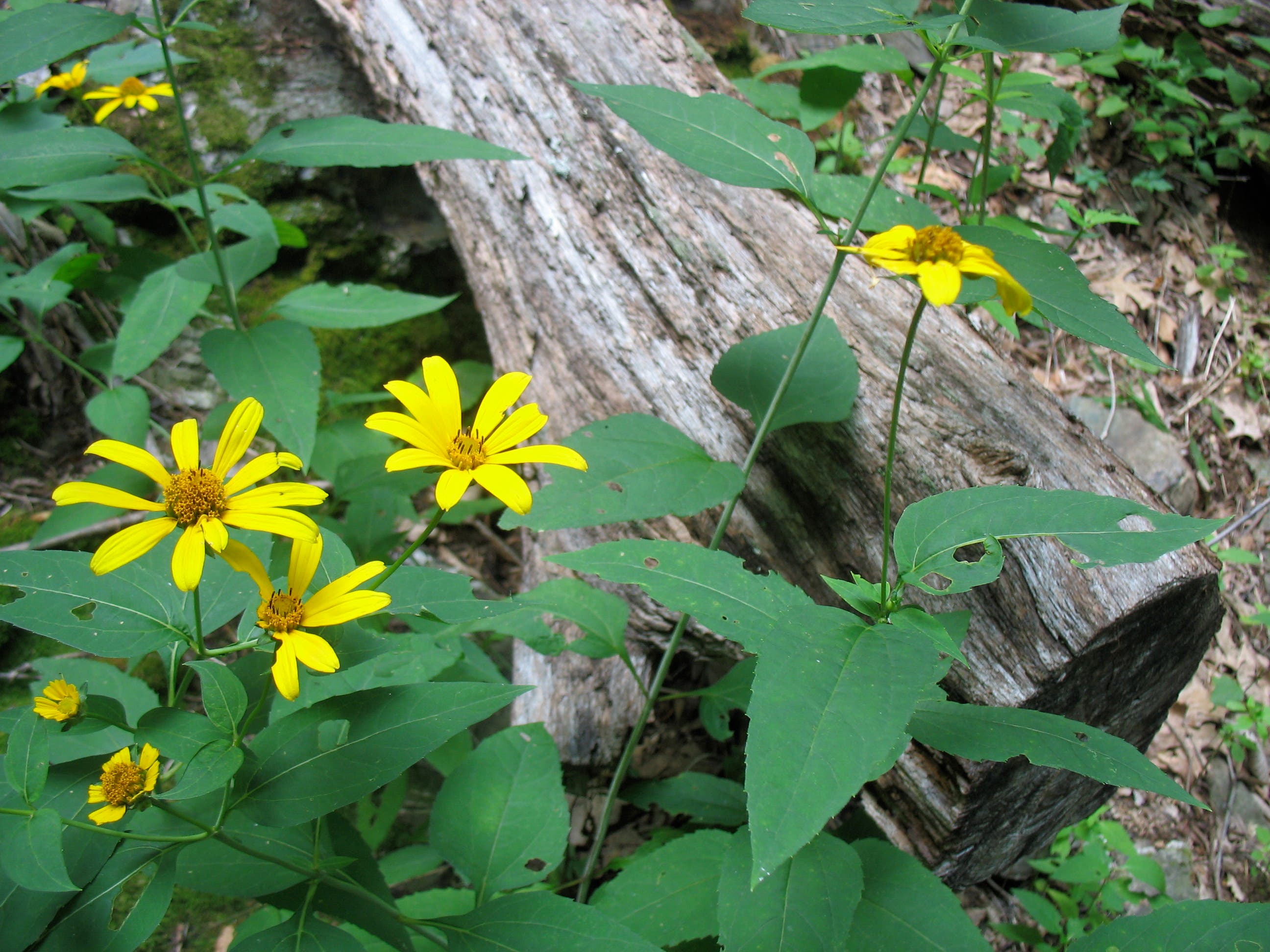
For a bit of history with your hiking, pull into the lot at the Humpback Rocks Visitor Center at Milepost 6. The .25 mile, wheelchair-accessible Mountain Farm Trail begins just south, meandering past an 1890’s log cabin and several outbuildings. Costumed re-enactors provide history in the summer. Continue south along the farm’s fenceline, looking for black-eyed Susans and other wildflowers on your right. The craggy Humpback Rocks are visible on the mountain just south as you approach the Blue Ridge Parkway.
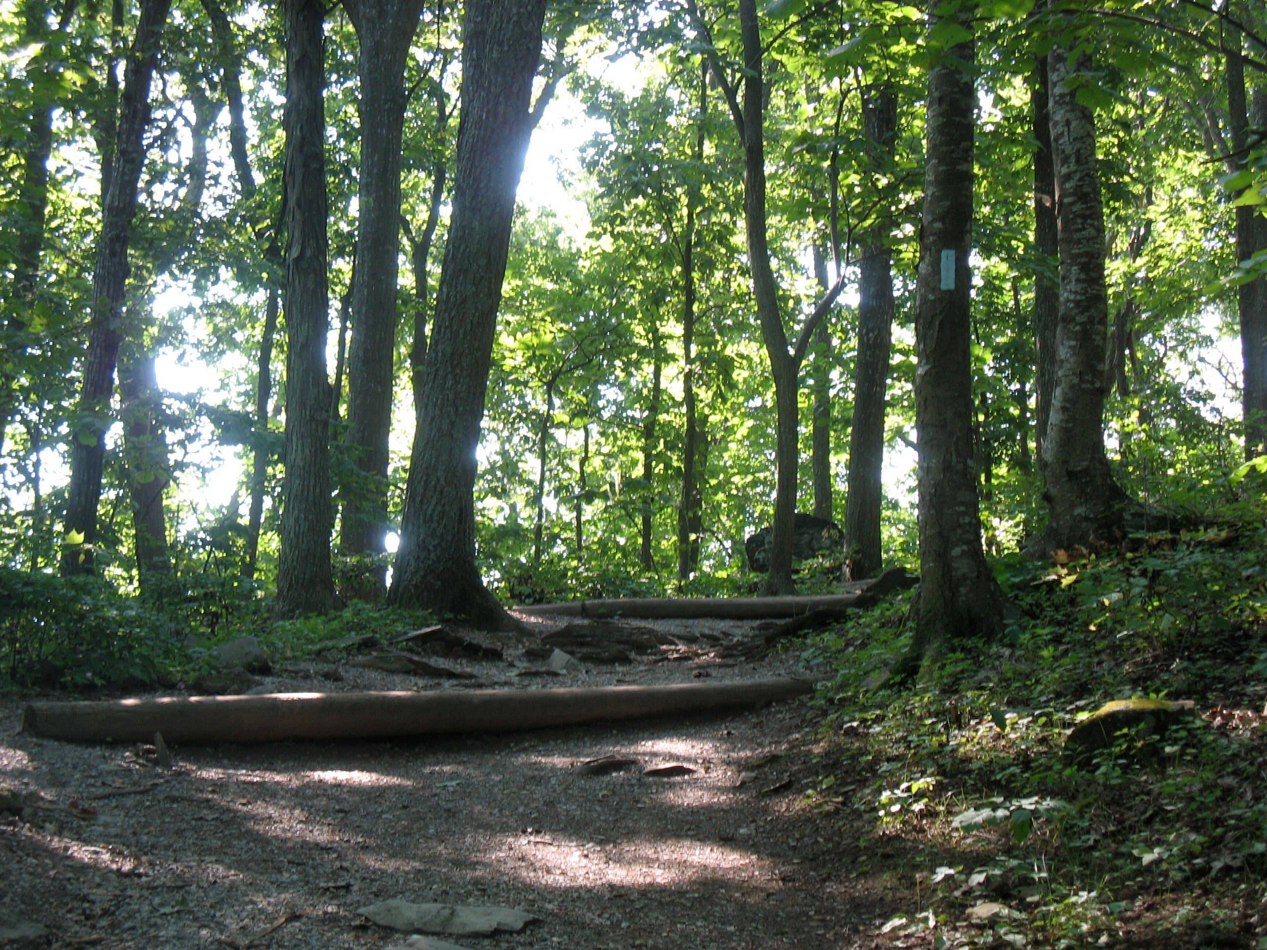
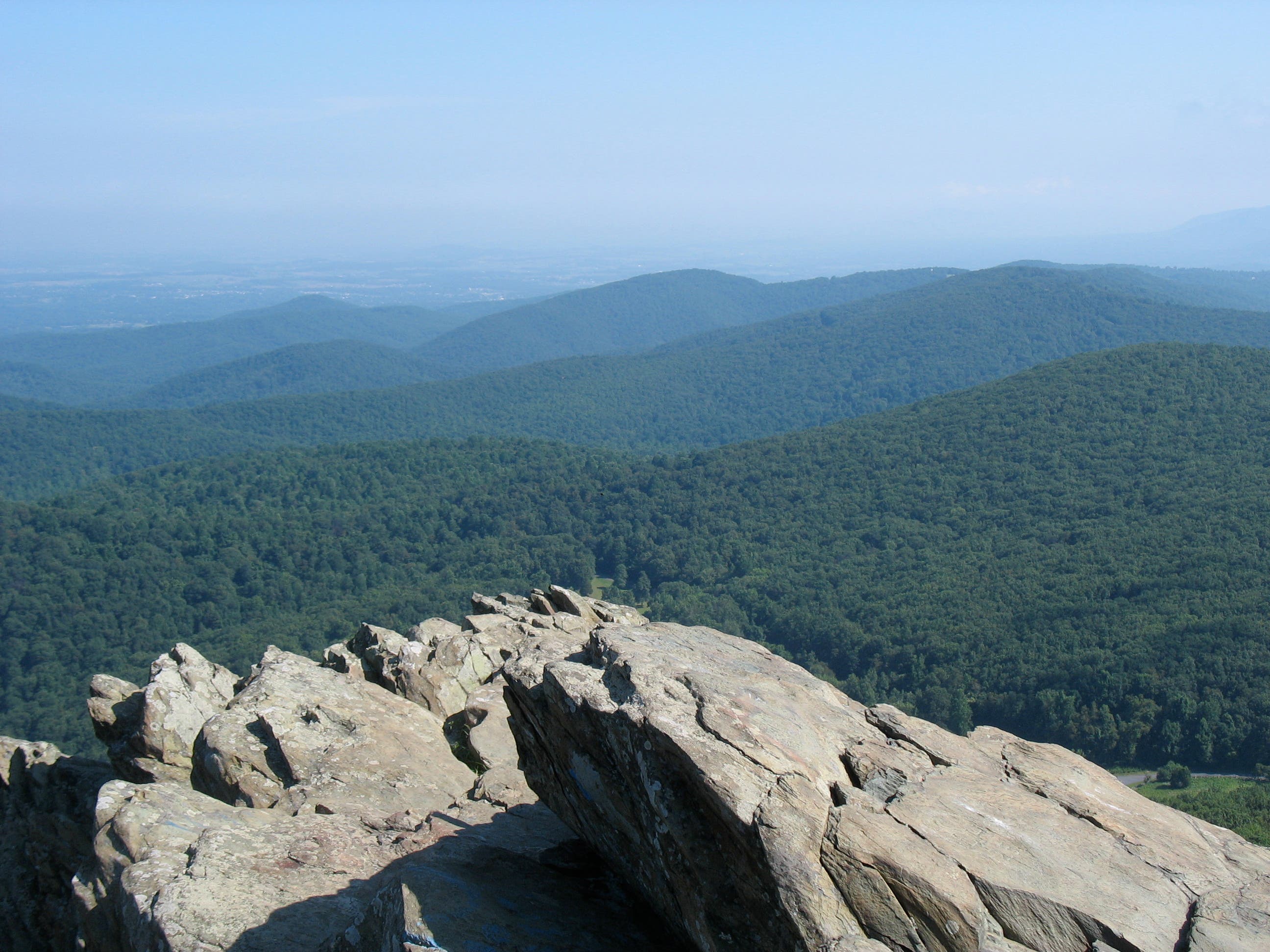
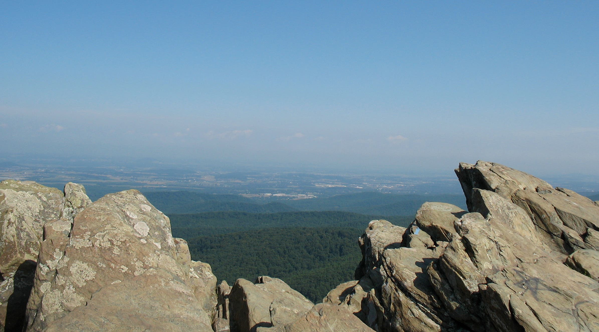
After crossing the Parkway, pick-up the blue-blazed Humpback Rocks Trail at the south end of the parking lot, then power up the tree-lined mountainside. It’s a steep, 700-foot ascent, but several wooden benches are well-placed for resting, and the path is shady in summer. After climbing a long, steep set of wooden steps, turn left at the junction at .8 miles. Swing slightly right to pick up the most climbable crags. A short scramble ends with wide views of rolling mountains, the Shenandoah and Rockfish Valleys, and a few glimpses of the parkway far below.
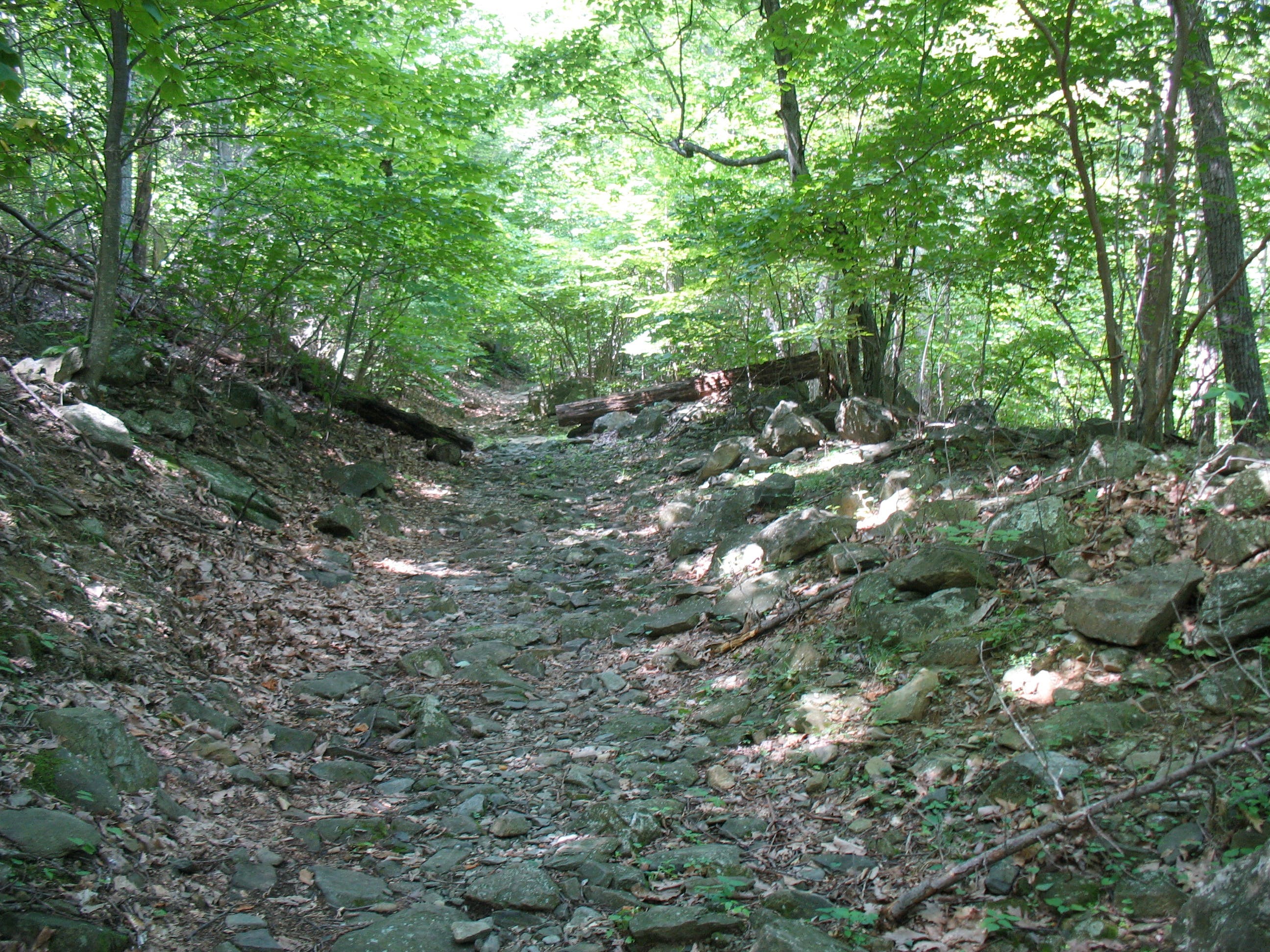
From here, the blue-blazed trail continues south, soon joining the white blazes of the Appalachian Trail (AT). For the loop, follow the AT north, descending on a leisurely set of switchbacks along the mountain’s eastern slope before joining the stone-walled Old Howardsville Turnpike, a major trade route in the mid 1850’s. After .5 miles, leave the AT at the signed junction, following the blue-blazed trail back to the Humpback Rocks parking lot.
-Mapped by Amy Balfour


Trail Facts
- Distance: 7.3
Waypoints
HRL001
Location: 37.972587, -78.899355
Park at Humpback Rocks Visitor Center. Walk south to pick up the Mountain Farm Trail.
HRL002
Location: 37.971307, -78.898816
Pass 1890’s-era log farmhouse. Plump chickens lurk underneath. Find tobacco, cabbage, squash and corn growing in the nearby garden.
HRL003
Location: 37.970013, -78.898357
Walk through wooden “kissing gate” and continue south along the fenceline to the Blue Ridge Parkway.
HRL004
Location: 37.969318, -78.897626
Cross Blue Ridge Parkway to the Humpback Rocks parking area. Walk to the southern end of the lot to pick up the trail.
HRL005
Location: 37.968332, -78.8966
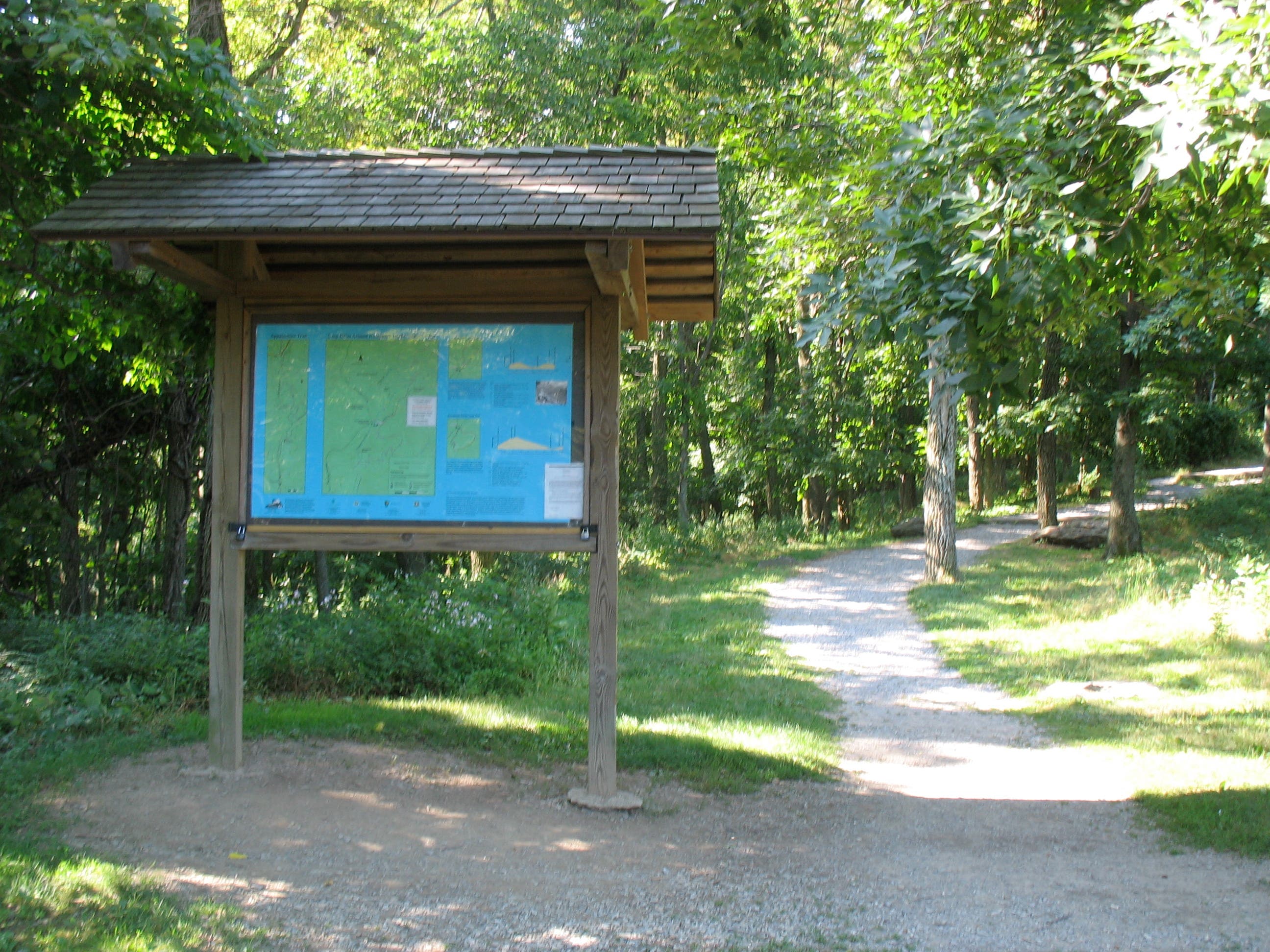
Humpback Rocks information board. The trail starts climbing soon after the sign.
HRL006
Location: 37.963473, -78.900368
On your left, pass the former trail to the rocks – now blocked by branches. Though it looks inviting, don’t take this route.
HRL007
Location: 37.962279, -78.901467
Climb steep wooden steps.
HRL008
Location: 37.960353, -78.900381
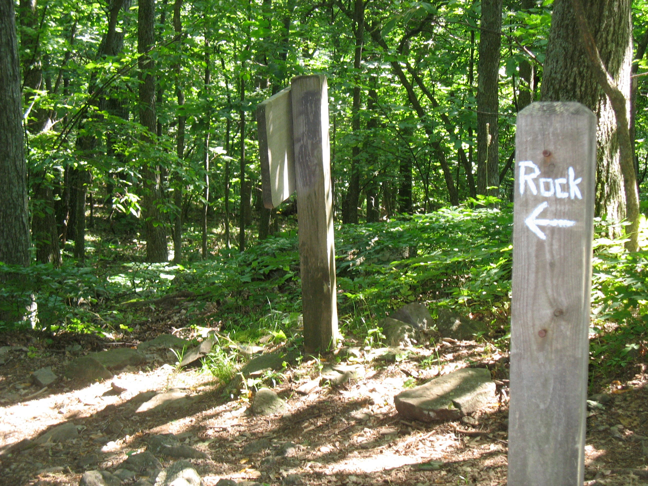
Signed junction with spur trail leading to Humpback Rocks. The sign reads “Rock.” Turn left. Walk a short distance then jag slightly right to scramble up the most climbable rocks.
HRL009
Location: 37.961306, -78.900634
Top of Humpback Rocks. To finish the loop, return to the trail junction but continue straight, following the blue blazes to the AT.
HRL010
Location: 37.958899, -78.901444
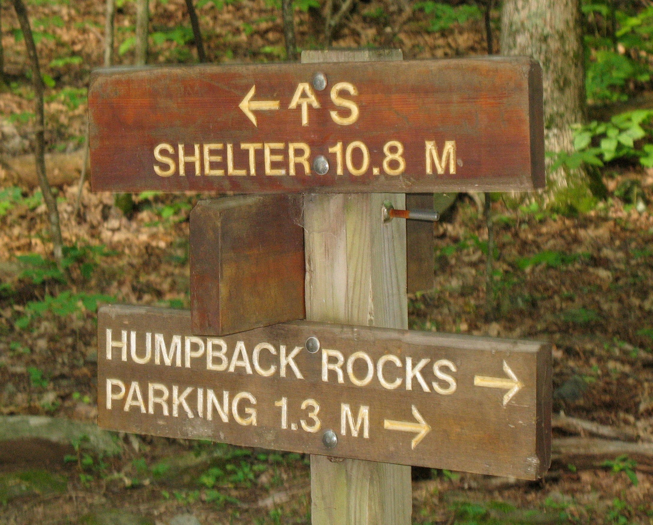
Junction of Humpback Rocks Trail and the AT. Turn left to follow the AT north to complete the loop. Stay right to follow the AT south to the summit of Humpback Mountain.
HRL011
Location: 37.957524, -78.898782
Sharp left.
HRL012
Location: 37.958546, -78.897833
Sharp left.
HRL013
Location: 37.958483, -78.894517
Sharp left.
HRL014
Location: 37.959539, -78.895436
Sharp right.
HRL015
Location: 37.958907, -78.893591
Sharp left.
HRL016
Location: 37.960524, -78.892585
Pass small spring. Water is untreated.
HRL017
Location: 37.962726, -78.891087
Small campsite clearing on the left.
HRL018
Location: 37.962265, -78.890698
Sharp right.
HRL019
Location: 37.960768, -78.890459
Sharp left.
HRL020
Location: 37.965234, -78.887507
Small clearing. Apparent junction with Old Howardsville Turnpike, which joins the AT as it heads north. Look for the remains of stony rock walls as you hike. The turnpike was a well-traveled trade route over the mountains in the mid-1800’s.
HRL021
Location: 37.965348, -78.894955
Junction with blue-blazed spur trail to Humpback Rocks parking lot. Veer left at the sign to complete the loop. The AT continues north on the trail to the right.
HRL022
Location: 37.968602, -78.896481
Trail ends at the northern end of the Humpback Rocks parking lot. Continue straight ahead, crossing the Parkway, to return to the Mountain Farm Trail and the Visitors Center lot.
Mountain Farm
Location: 37.971184, -78.898838
Black-Eyed Susans on the Farm
Location: 37.971397, -78.898651
A Backpacker’s Favorite Place
Location: 37.970978, -78.898586
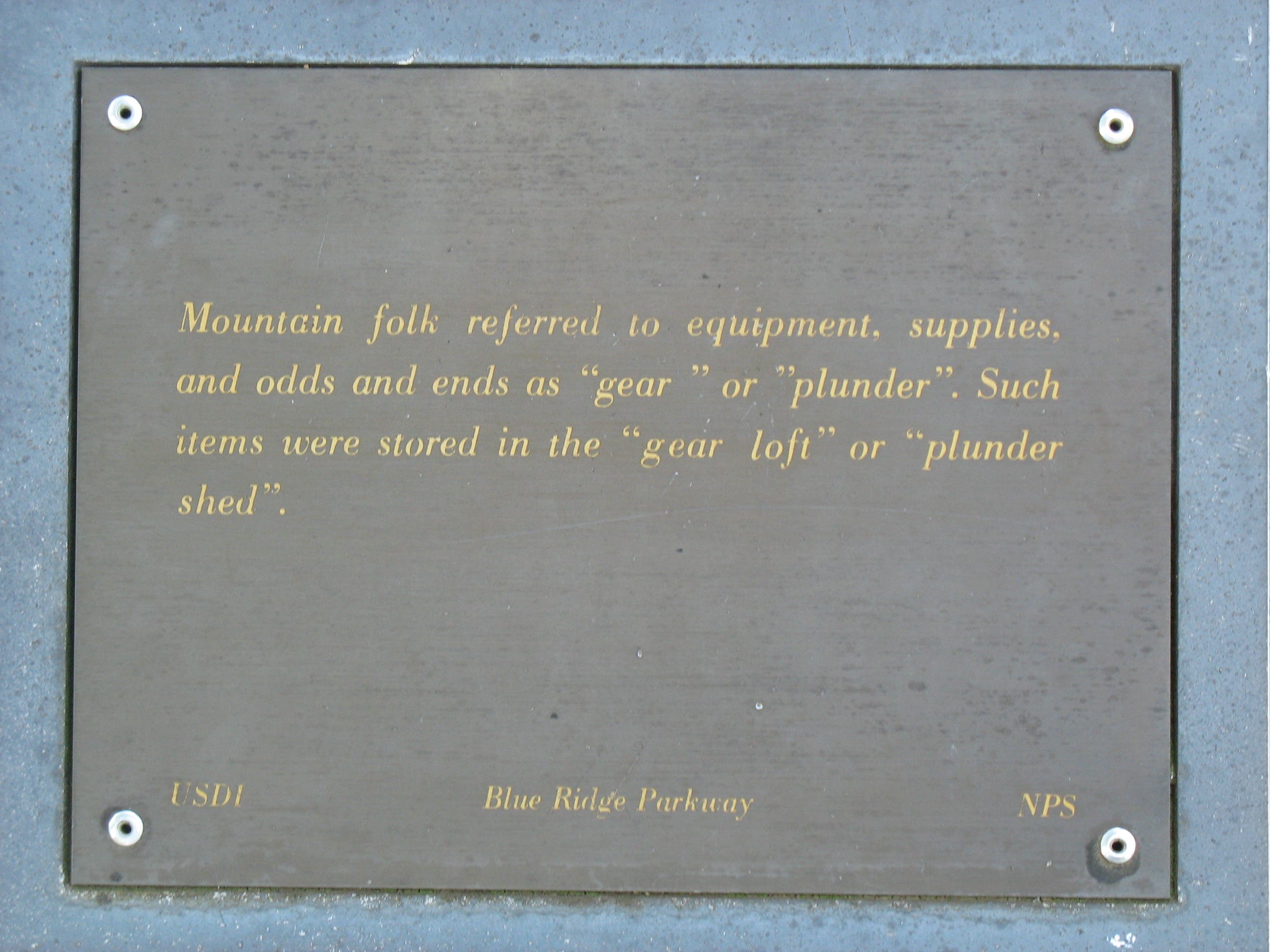
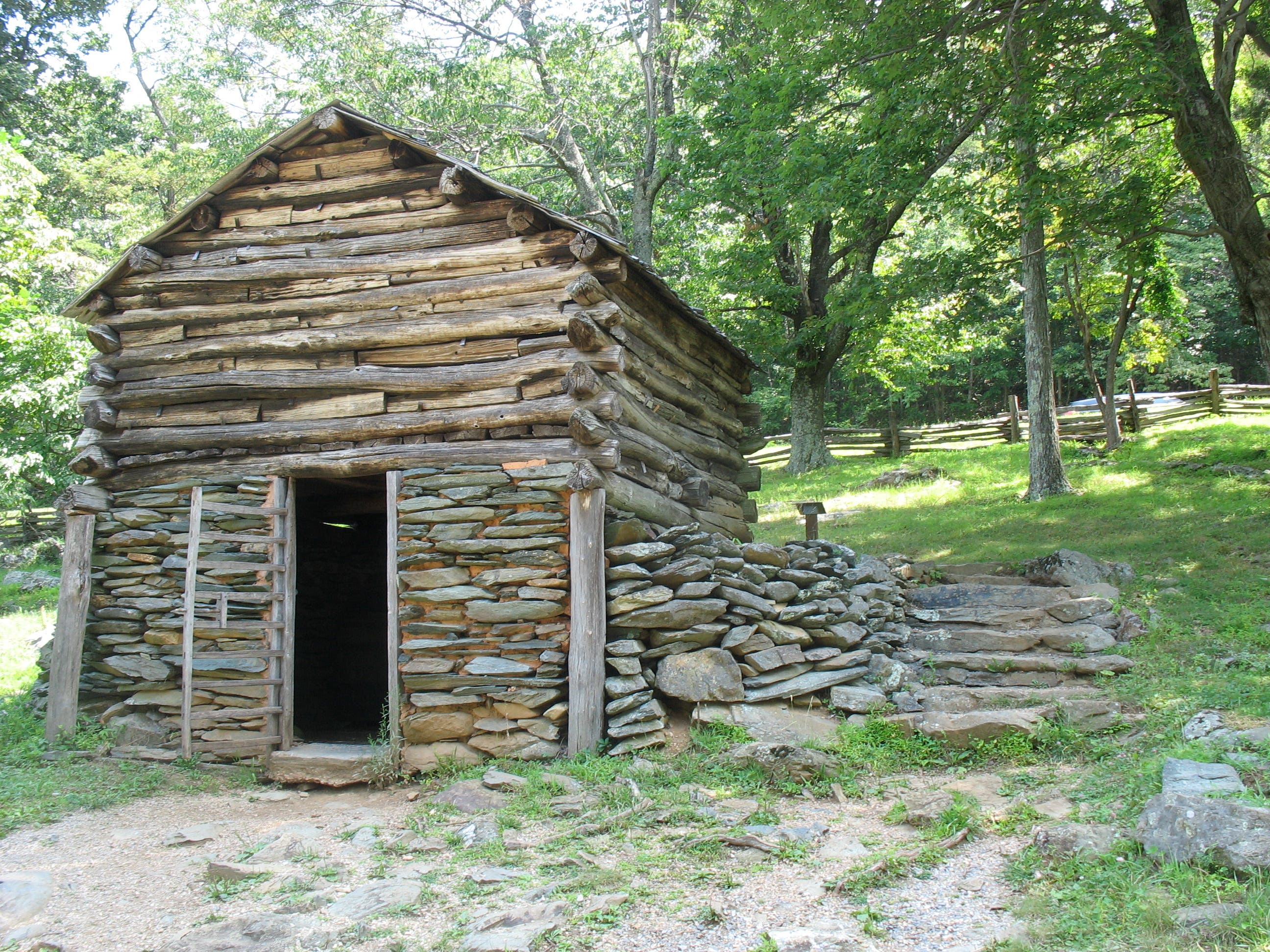
Plunder Shed
Location: 37.970889, -78.89864
View of Humpback Rocks
Location: 37.969486, -78.897875
Humpback Rocks Trailhead
Location: 37.968332, -78.8966
Climbing to Humpback Rocks
Location: 37.966073, -78.898527
Junction with Spur Trail
Location: 37.960353, -78.900381
Northern Blue Ridge from Humpback Rocks
Location: 37.961306, -78.900634
Shenandoah Valley from Humpback Rocks
Location: 37.961306, -78.900634
Junction with AT
Location: 37.958899, -78.901444
Trailside Flora
Location: 37.960965, -78.892258
Old Howardsville Turnpike
Location: 37.965072, -78.8927
Butterfly on Bull Thistle
Location: 37.969352, -78.897747
Black-Eyed Susans
Location: 37.969352, -78.897747