Block Island, RI: Rodman's Hollow

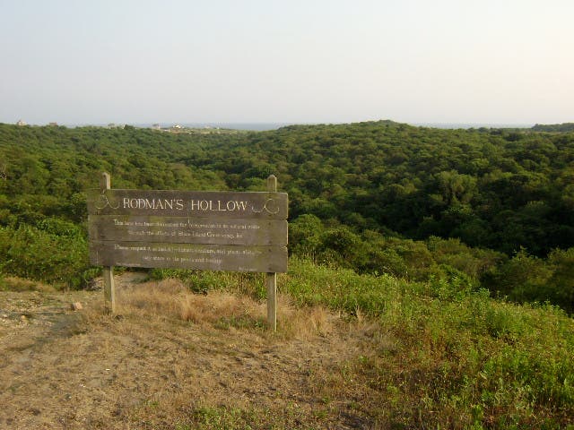
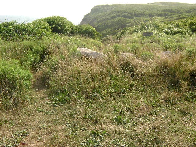
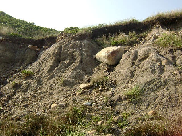
Just off the eastern tip of Long Island, a short ferry ride from Rhode Island proper, Block Island offers a great weekend escape for New Yorkers and New Englanders alike. Rodman’s Hollow Nature Preserve (a short ride on a rental bike from the ferry landing), is an ideal way to explore the unique glacial geology of this small island.
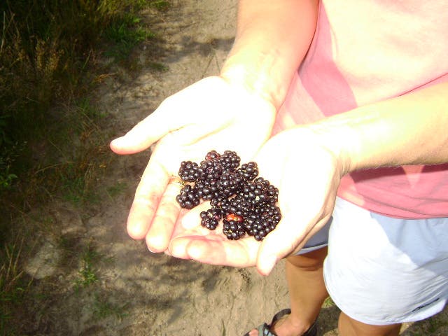
Starting from the trailhead off Cooneymus Road, walk south down to the edge of the bluffs overlooking the Atlantic. Along the way, look for blackberry bushes (ripe in mid to late summer), but be very mindful of ticks. Keep an eye out for coastal wildlife, including the infamous Block Island Meadow Vole, a quirky critter indigenous to Block Island.
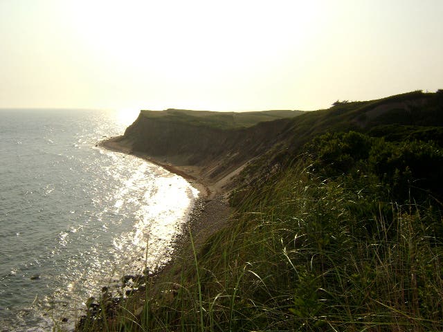
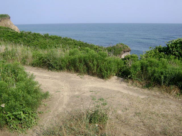
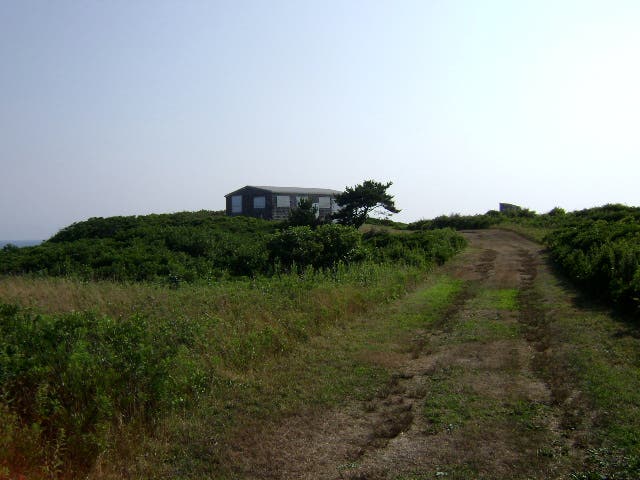
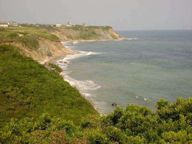
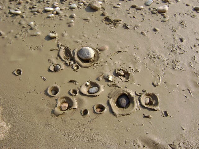
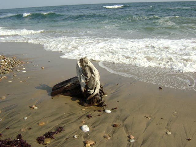
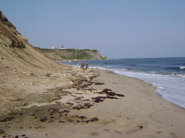
Down at the bluffs, visit an old conservancy cabin with great views up and down the bluffs before scrambling down to the beach for a walk along clay shores (you’ll pass driftwood and idyllic Atlantic scenes). The return trip—just one alternative of many in Rodman’s Hollow—bypasses another bluffside overlook of the Atlantic before looping back towards the trailhead.
-Mapped by Melissa Stolasz
Trail Facts
- Distance: 5.6
Waypoints
RDH001
Location: 41.1599266, -71.5910786
This trailhead is the far west access point to Rodman’s Hollow Nature Preserve along Cooneymus Road. A gate here can serve as a bike rack, but there is no designated car parking here. Parking is available at the Black Rock entrance to the Preserve further east. From here begin hiking south on Black Rock Road all the way down to the bluffs (Waypoint 3). In mid-to-late summer, keep an eye out for delicious blackberry bushes along the trail, but take care to wear high socks and check for ticks along the way.
RDH002
Location: 41.1490617, -71.5911987
Continue straight towards the bluffs at this 3-way crossroads junction.
RDH003
Location: 41.1476541, -71.591742
Reach the edge of the bluffs and turn left to hike east. Just ahead you’ll turn up a road to an old cabin. After touring the beach, you’ll return to this waypoint and continue west to walk along the top of the bluff.
RDH004
Location: 41.1477617, -71.590933
At this junction, bear left to continue on the road towards the old conservancy cabin. After touring this cabin, you’ll return to this point and hike down the bluffs (a slight scramble) to walk east on the beach.
RDH005
Location: 41.1488498, -71.5900898
Turn right at this intersection onto Snake Hole Road. Just ahead, you’ll turn right and hike the driveway of the old conservancy cabin.
RDH006
Location: 41.1477794, -71.5900254
Enjoy top-of-the-bluff views from the old conservancy cabin before backtracking to Waypoint 4. At that junction, continue straight to scramble down the bluffs.
RDH007
Location: 41.1474481, -71.5915328
At the bottom of the bluff, turn left to walk east along the beach.
RDH008
Location: 41.1483243, -71.5851404
When you’ve had your fill of the beach, U-turn back to the bluff and return to Waypoint 3. From there walk west along the top of the bluff to begin a counter-clockwise loop through the preserve.
RDH009
Location: 41.1472814, -71.593869
The trail comes to a top-of-the-bluff overlook with amazing views of the Atlantic. Soak it all in before continuing the loop back toward the junction with Black Rock Road at Waypoint 10.
RDH010
Location: 41.1501603, -71.590813
Turn left at 3-way junction and head north back to the trailhead and Cooneymus Road.
Atlantic Overlook
Location: 41.147226, -71.5936732
© Melissa Stolasz
Preserve Sign
Location: 41.15982, -71.5887594
© Melissa Stolasz
Gate
Location: 41.1597715, -71.5911305
A few feet in, there is a gate and a large rock to the right. © Melissa Stolasz
Trailhead
Location: 41.1592828, -71.5912539
© Melissa Stolasz
Blackberry Stash
Location: 41.152667, -71.5901059
In mid-to-late summer, keep an eye out along the trail for delicious blackberry caches, but watch for ticks. © Melissa Stolasz
Trail Split
Location: 41.1476541, -71.5916991
© Melissa Stolasz
The Cabin Driveway
Location: 41.1483368, -71.5894729
The old conservancy cabin in the distance. © Melissa Stolasz
Cabin View
Location: 41.1476865, -71.5899879
© Melissa Stolasz
Trail Intersection
Location: 41.147743, -71.5909052
The trail heading down the bluffs to the beach. © Melissa Stolasz
Down the Bluffs
Location: 41.1473875, -71.5915275
The climb down the bluff may require a bit of easy scrambling. © Melissa Stolasz
Beach Clay
Location: 41.1473633, -71.5902293
© Melissa Stolasz
Driftwood
Location: 41.1480339, -71.5881962
© Melissa Stolasz
Along the Beach
Location: 41.1482843, -71.585412
© Melissa Stolasz