Heading out the door? Read this article on the new Outside+ app available now on iOS devices for members! Download the app.
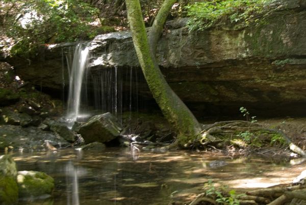
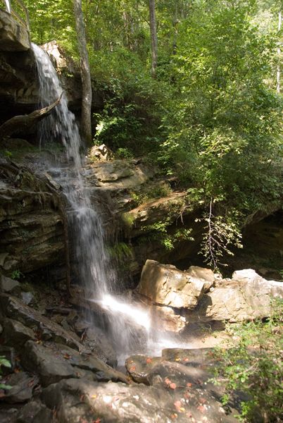
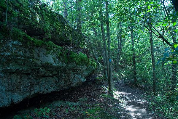
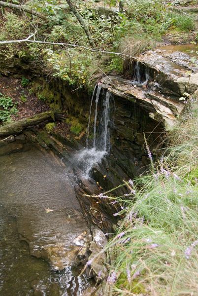
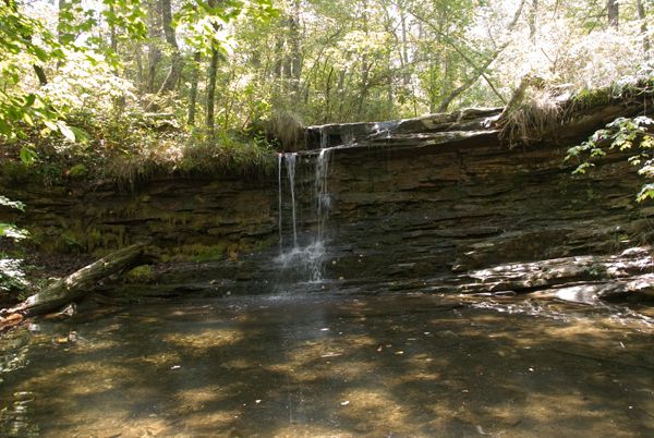
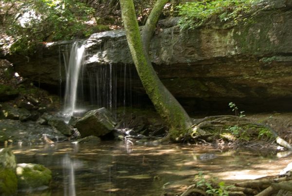
This 4.2-mile figure 8 in DeSoto State Park is one of Alabama’s best kept trail secrets. Starting on the wooden walkway from the parking lot, the eastern loop combines the Red, Orange, and Blue trails for a 2.4-mile loop that explores a mixed deciduous forest on gentle terrain. This loop is highlighted by the serene cascades of Laurel Falls and Lost Falls, as well as the curious rock formations along the way.
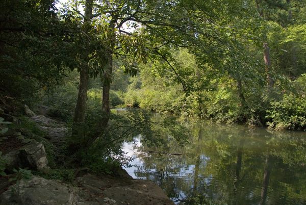
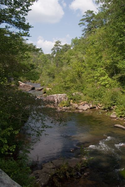
Call it a day back at the trailhead or cross DeSoto Parkway for the eastern loop (on the Yellow and Green trails). The start of this 1.8-mile overlooks Indian Falls before dropping down a rhododendron-lined valley to the West Fork Little River. The yellow-blazed trail runs parallel to the river before hiking up a short-but-steep switchbacking stretch. At the crest of the 160-foot climb, the green-blazed trail turns back west for the return trip to Indian Falls. Stay on track by following the green blazes past various spur trails and watch your footing on the intermittent rock-hopping sections.
-Mapped by Scott Sanders
Trail Facts
- Distance: 6.7
Waypoints
DSP001
Location: 34.4989586, -85.6178436
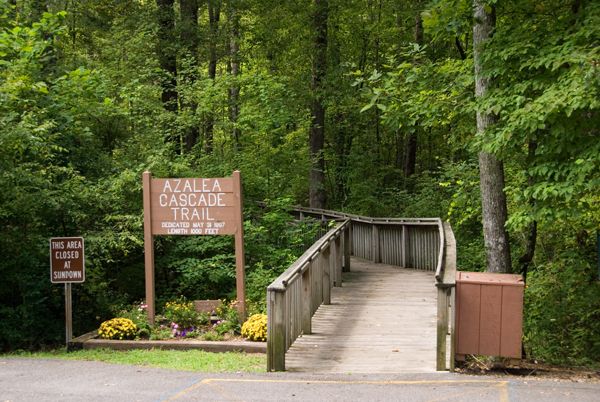
Trailhead for the red, orange, and blue-blazed loops: Head southwest from the wooden walkway at the Azalea Cascade Trail sign next to the parking lot in DeSoto State Park on Cherokee County Road 89. The DeSoto State Park map from the Country Store (free) is not to scale. This track hikes the red, blue, and orange trails in a counter-clockwise loop.
DSP002
Location: 34.4982872, -85.6188126
Turn right @ 3-way intersection off of the boardwalk and onto the a dirt path. This trail continues a short distance marked by red rectangular blazes.
DSP003
Location: 34.4989967, -85.618782
Turn left @ 4-way intersection, leaving the red trail and continuing on the orange-blazed trail. Various spur trails detour along the next mile or so, some of them leading to waterfall viewpoints.
DSP004
Location: 34.497673, -85.6210938
Turn right @ 3-way junction.
DSP005
Location: 34.4976044, -85.6220716
Turn right at a rock outcropping. Continue 25 yards and turn left @ 3-way junction with a closed trail. A sign to the right indicates an old trail to a campground. Just ahead the trail crosses a small seasonal stream.
DSP006
Location: 34.4957237, -85.6245117
Turn left @ 3-way junction to head towards Laurel Falls. Soak in the views before backtracking to this waypoint and turning left to continue hiking west.
DSP007
Location: 34.496685, -85.6276932
Turn left @ 3-way junction to continue on the orange-blazed trail. To the right, the silver-blazed trail heads to an RV campground.
DSP008
Location: 34.4951096, -85.6314926
Turn left @ 3-way junction for a 50-yard detour to Lost Falls. Enjoy the scenery before backtracking to this waypoint and turning left to continue on the orange trail.
DSP009
Location: 34.4952087, -85.6319656
Turn left @ 3-way junction. Start looking for and following the blue-blazed trail. Ahead the trail crosses Laurel Creek and then starts heading east back towards the trailhead.
DSP010
Location: 34.4946976, -85.6318207
Cross Laurel Creek and enjoy the view of Lost Falls from above. Look for and follow the blue blazes on trees after crossing Laurel Creek. Shortly ahead to the east, you’ll turn left @ a 3-way to continue downhill on the blue trail back towards the trailhead.
DSP011
Location: 34.4950485, -85.6260681
Here the blue-blazed trail bears to the right (and does not cross Laurel Creek).
DSP012
Location: 34.4968528, -85.621385
Turn right @ 3-way junction, following the blue trail downstream. Do not cross the bridge over Laurel Creek.
DSP013
Location: 34.4970131, -85.6195984
Go straight (bearing slightly right) @ 3-way junction. Do not cross the creek onto the wooden boardwalk. A right on the boardwalk is a backtracking detour to the trailhead.
DSP014
Location: 34.4982033, -85.6177597
Turn left and cross a small wooden bridge right before County Road 89. The parking lot should be in sight.
DSP015
Location: 34.4988708, -85.6177826
Back at the parking, you can call it a day, or begin the yellow and green trail loop. Cross CR 89/DeSoto Parkway, and head downhill 100 feet. Turn left on a gravel driveway and head towards the wooden fence.
DSP016
Location: 34.4986954, -85.617363
Turn right in front of the wooden fence and follow signs towards Indian Falls. Continue about 100 feet and turn left @ a 3-way to follow the wooden fence downstream for another 100 feet.
DSP017
Location: 34.4985962, -85.6168137
Turn right @ T intersection and cross the wooden foot bridge (at the top of Indian Falls) From here, start following the yellow blazes down the river.
DSP018
Location: 34.4982796, -85.6167603
Continue straight @ 3-way intersection (not left) and go another 20 feet and turn left at another 3-way intersection. Head downhill and follow the yellow blazes. The left turn at this first junction takes you to the base of Indian Falls.
DSP019
Location: 34.4952888, -85.6163406
Bear left @ 3-way junction to continue along the river bank going downstream. Ahead you’ll continue left at another 3-way to parallel the river and cross a wooden footbridge shortly thereafter.
DSP020
Location: 34.4923134, -85.6133118
Bear left again at @ 3-way junction to continue paralleling the river downstream. Shortly ahead the trail navigates up a tricky section, briefly scaling the river bank over roots and rocks.
DSP021
Location: 34.4921619, -85.6119919
Come to a spot in the trail marked by several big rocks and turn right to head up a steep stretch of switchbacking trail that snakes between huge boulders in spots and has a cliff-like feel.
DSP022
Location: 34.4913572, -85.6100929
At the top of the climb turn right and then another immediate right. Look for and follow the green rectangular blazes of the green trail that skirts contour lines near the top of the canyon.
Just ahead turn right @ the 4-way intersection and continue following the green blazes all the way back to the intersection with the yellow-blazed trail near Indian Falls. Along the way, various side trails descend down to the river and cabins in the woods.
DSP023
Location: 34.4910388, -85.6125283
Turn right @ 3-way junction, and continue downhill, turning right at a second 3-way split in about 20 feet. Continue following the green blazes to stay on the right track.
DSP024
Location: 34.4915199, -85.6133118
Turn right @ 3-way junction and then left at the 3-way junction right after. From here out, various side trails spur off the green trail (down to the river or to cabins); look for and follow the green blazes to continue back towards Indian Falls. Remember to follow the green blazes and you’ll end up back at Indian Falls.
DSP025
Location: 34.4941139, -85.6164093
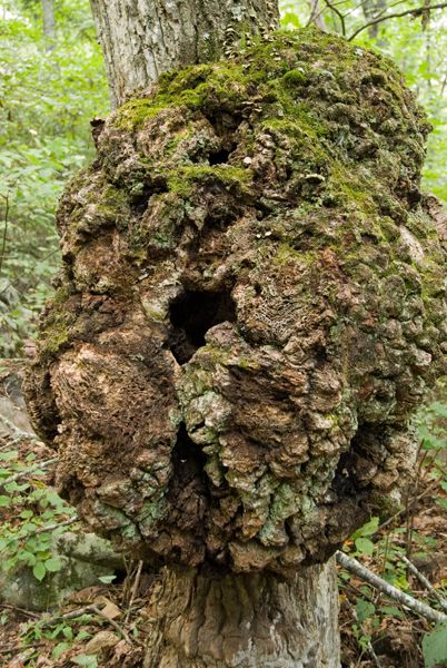
Cross a small stream and turn left @ 3-way junction. There is a huge gall on a tree to the right immediately after this left turn. Ahead, look for a small waterfall on the side of the trail.
DSP026
Location: 34.4968414, -85.6168823
Bear left @ 3-way as the trail skirts a cluster of cabins.
DSP027
Location: 34.4978905, -85.6164474
The trail ducks right behind a cabin through a rocky and sandy area and then back into the woods. Ahead you’ll continue straight at a 3-way and (shortly after) cross back over the Indian Falls footbridge. From there, backtrack across DeSoto Parkway to the trailhead.
Laurel Falls
Location: 34.4954823, -85.6244266
© Scott Sanders
Azalea Cascade Trailhead
Location: 34.498944, -85.6178471
© Scott Sanders
Laurel Falls
Location: 34.495469, -85.6243891
© Scott Sanders
Lost Falls
Location: 34.4948456, -85.6317866
© Scott Sanders
Above Lost Falls
Location: 34.494682, -85.6317973
© Scott Sanders
A Green Alley
Location: 34.4958094, -85.6231445
© Scott Sanders
Indian Falls
Location: 34.498241, -85.6166857
© Scott Sanders
West Fork Little River
Location: 34.4955368, -85.6163254
© Scott Sanders
Serene River Scene
Location: 34.4928693, -85.6141591
© Scott Sanders
Tree Gall
Location: 34.4941161, -85.6164229
Galls are tumorous plant growths often caused by irritation from insect eggs. © Scott Sanders