Big Bend Ranch State Park, TX: Closed Canyon

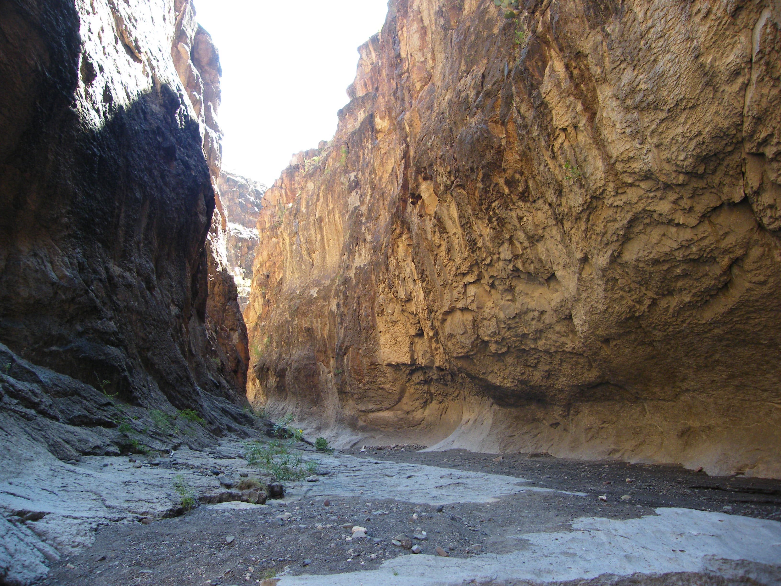
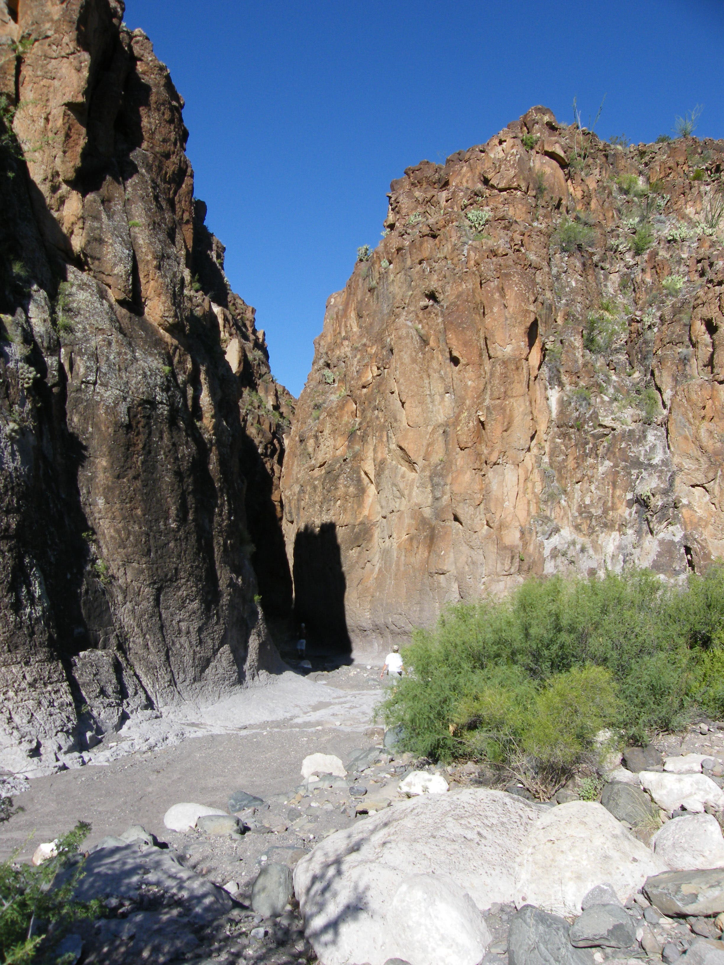
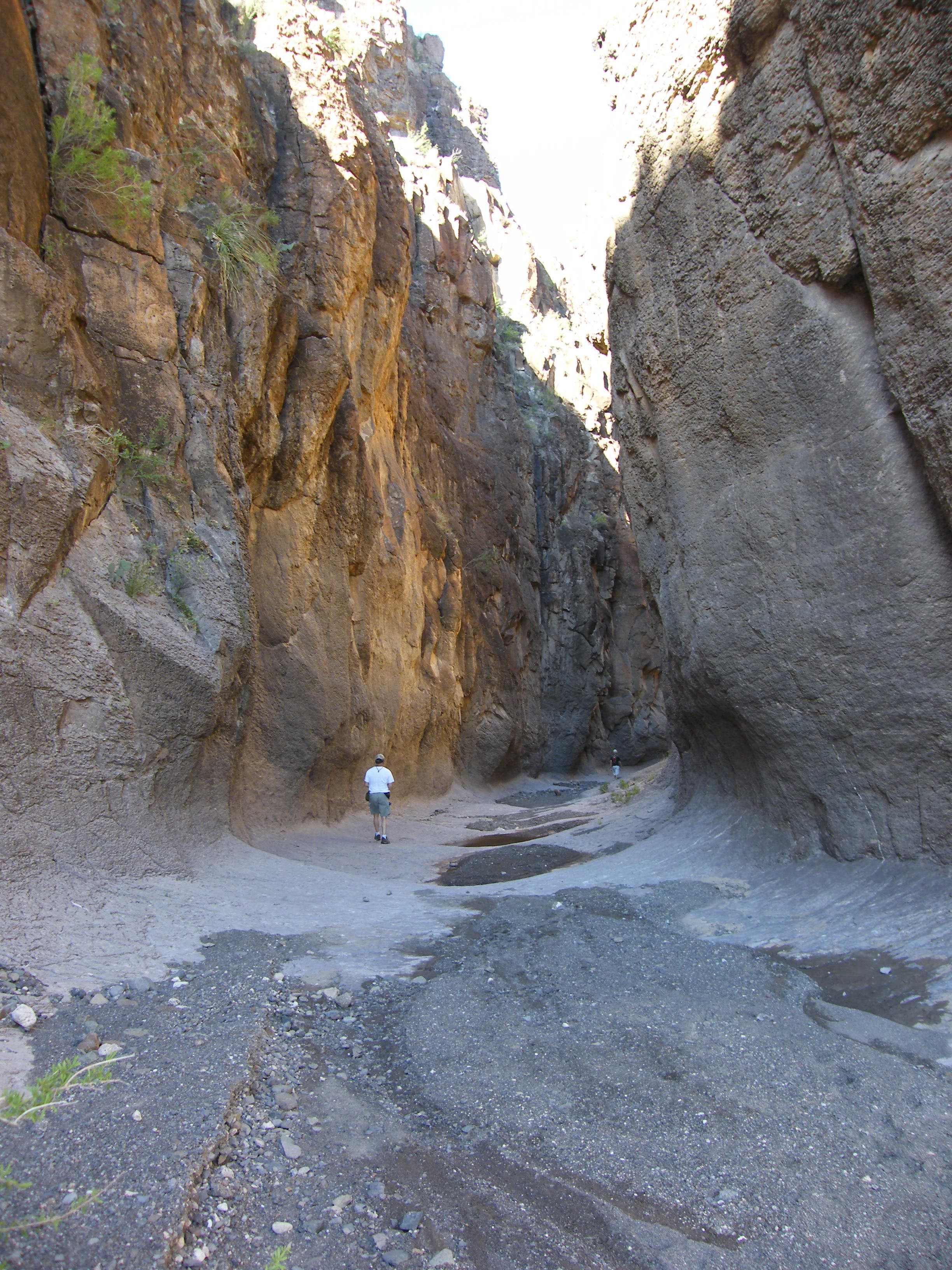
From the roadside trailhead, this route descends a small igneous rock hill and follows a wash through open scrub typical of the surrounding Chihuahuan Desert. You’ll descend into a deeper draw, turning left toward the canyon entrance—an imposing 100-foot slot—about 250 yards from the road.
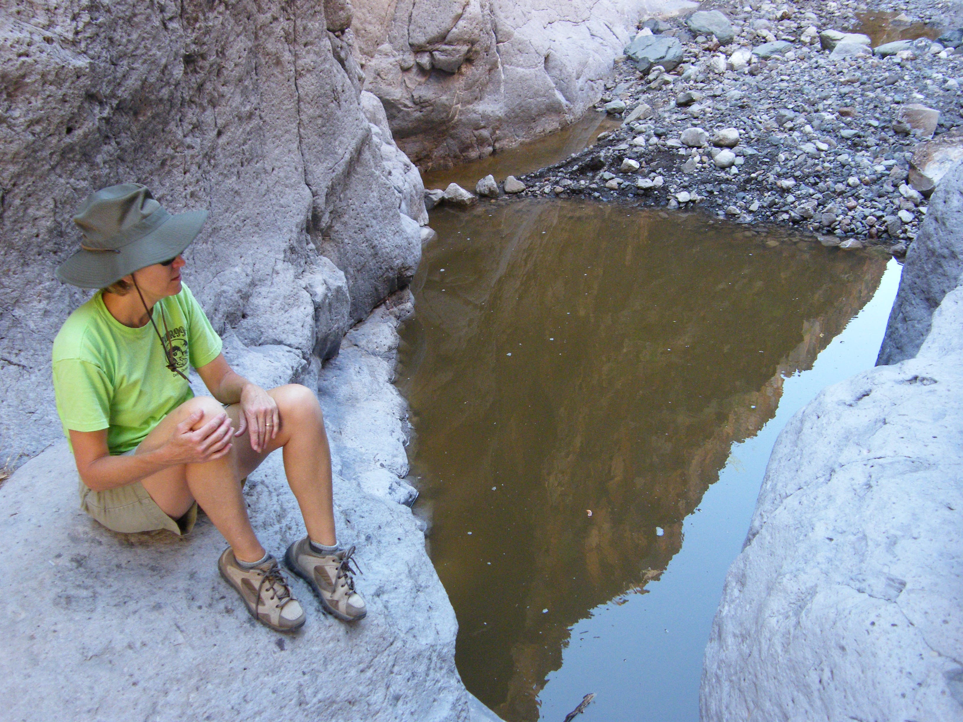
Inside the canyon, the path is easy to follow; you’ll hike across smooth rock with bars of small gravel around occasional puddles. As you continue south, the walls narrow and there are deep depressions created by rapidly flowing water. Depending on recent rains the depressions, known locally as tinajas (the Spanish word for jar), may contain fairly deep water and the pools could make scrambling or wading necessary to continue.
After the second tinaja, the canyon begins dropping steeply toward the Rio Grande with larger and larger steps (10, 12, 25, then 50 feet in height) that require rappelling gear to descend. Without the extra gear, plan to turn around about 0.75 miles from the road.
Caution: Check weather forecasts before tackling the hike, steep canyon walls leave no escape routes and flash floods are possible.
-Mapped by Melissa Gaskill
Trail Facts
- Distance: 2.3
Waypoints
CLC001
Location: 29.328569, -104.03114
The Closed Canyon trailhead is roughly the halfway point on the scenic drive down Ranch Road 170 between Presidio and Terlingua. There is a shaded picnic table and map kiosk here in addition to parking.
CLC002
Location: 29.326628, -104.032309
Head into the narrow canyon entrance about 250 yards from the road. The canyon is 12-20 feet across and winds occasionally as it rolls southwest toward the Rio Grande.
CLC003
Location: 29.324514, -104.035592
Continuing into the canyon can be difficult if the water is high in a few deep tinajas. Watch for cactus-covered hand holds and expect some shallow wading if the tinajas are full and you plan to continue.
CLC004
Location: 29.321147, -104.03747
Without rappelling and climbing equipment, it’s impossible to reach the river at the end of the canyon. Depending on recent weather and reservoir control on the Mexican side of the border, the Rio Grande could also be a raging river. If you do plan to descend the entire way, check river conditions with rangers before your trip.
Closed Canyon
Location: 29.323925, -104.035946
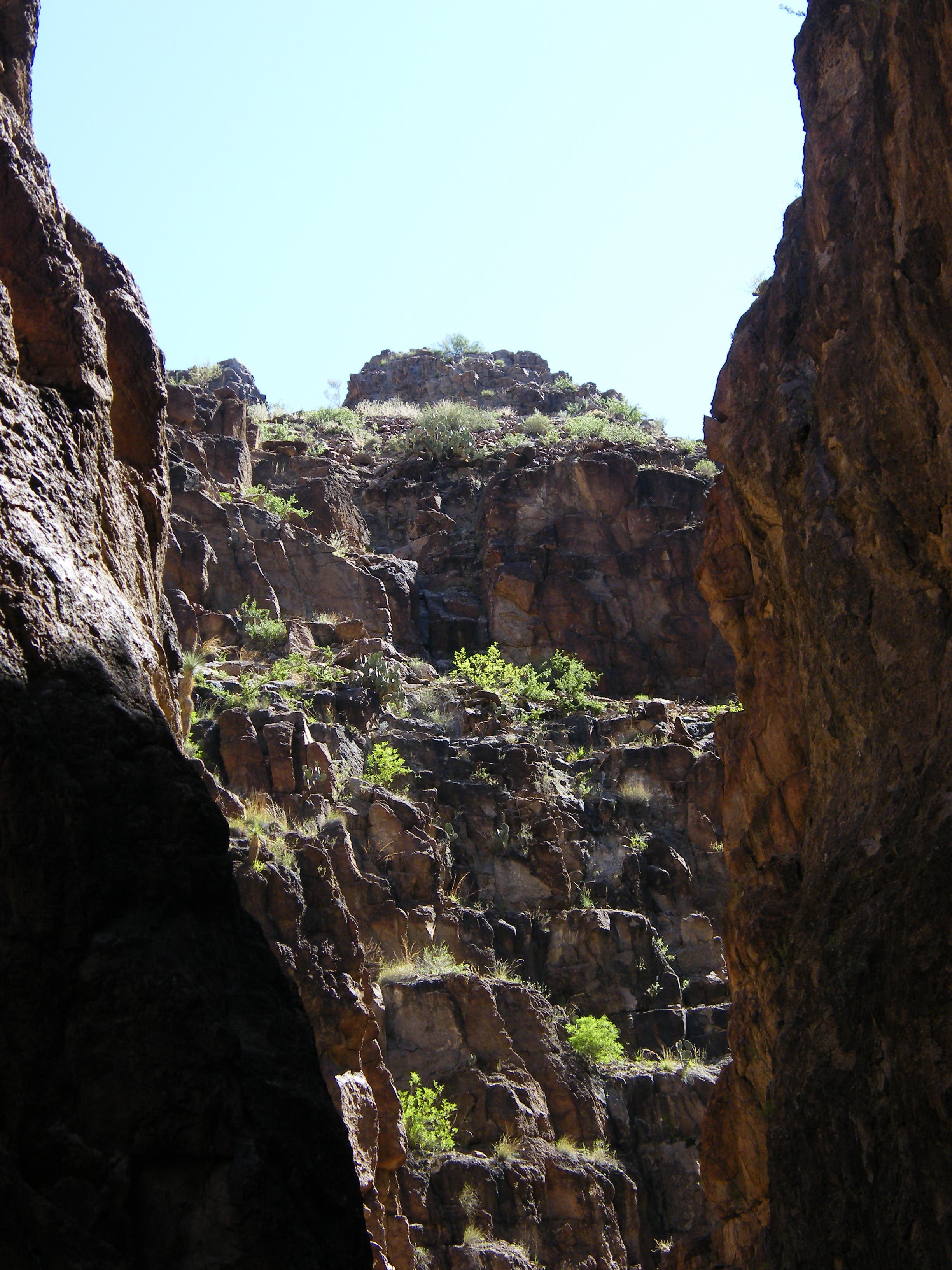
Igneous rock forms the canyon walls.
Lizard
Location: 29.327713, -104.031225
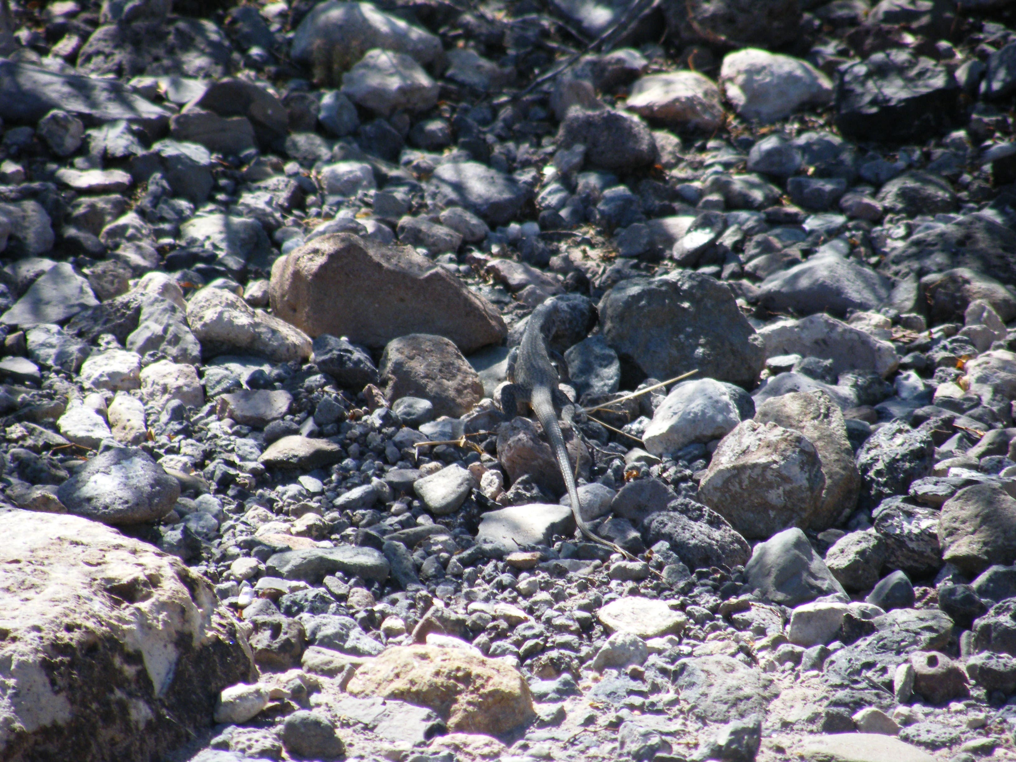
Though wildlife is surprisingly abundant in this desert, you’ll likely only see resident lizards scurrying from the trail.
Canyon Entrance
Location: 29.326965, -104.03173
After a short downhill from the road, the canyon entrance looms.
Flowers
Location: 29.32631, -104.033049
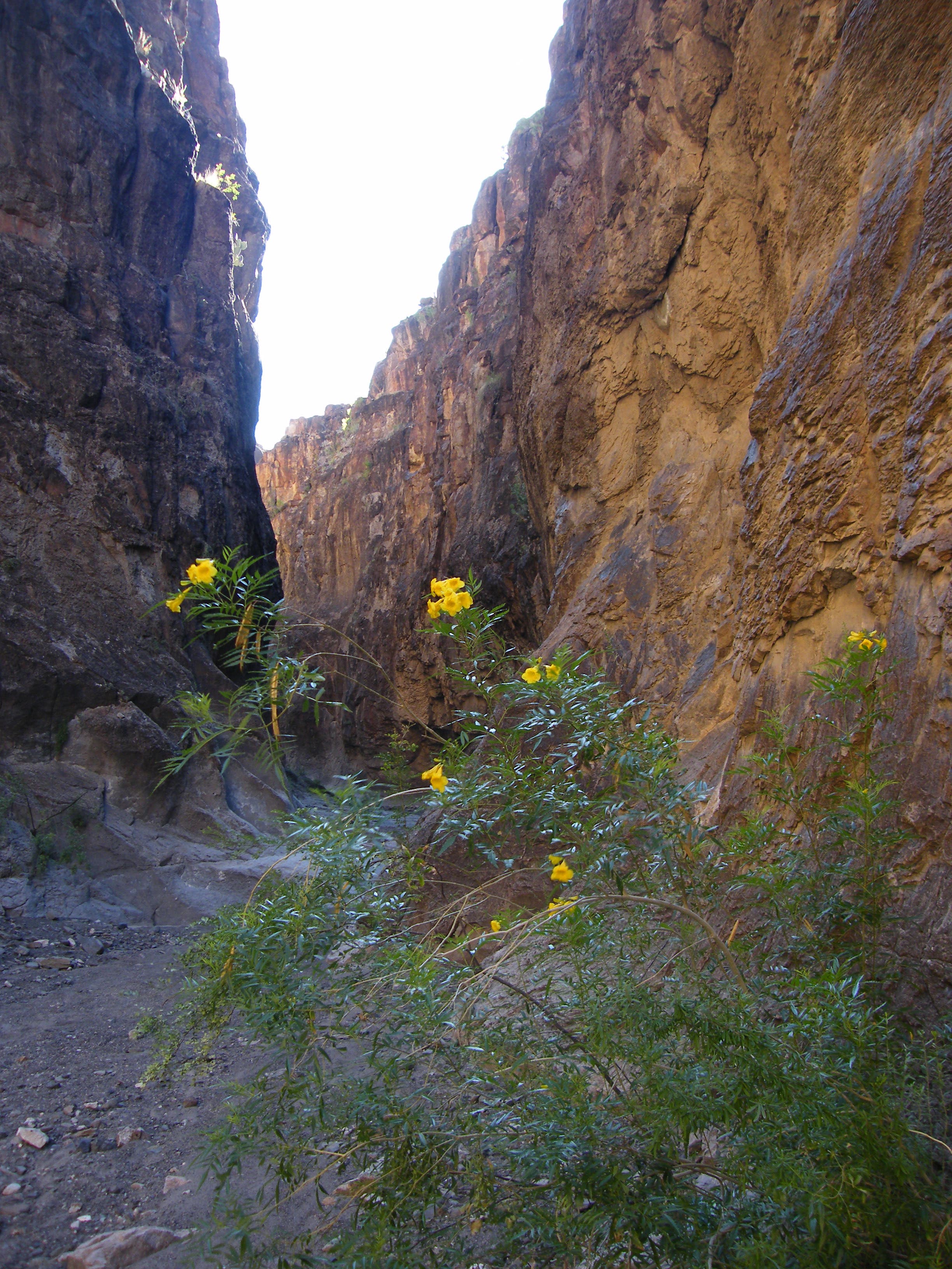
Shady recesses in the canyon create a hospitable environment for flowers.
First Section
Location: 29.325815, -104.033897
A smooth rock surface lines the bottom of the canyon’s early stretches.
Vegetation
Location: 29.325356, -104.03453
Look toward the edge of the walls to spot vegetation clinging to small, flat surfaces. You may also see birds’ nests.
Tinaja
Location: 29.324514, -104.035485
Water-filled tinajas (deep pools that act as desert wells) can block the passage into the canyon’s lower sections.