Hike Through American History on These 7 Trails

'Joseph'
There was no “trail” up New York’s highpoint, Mount Marcy, when then-Vice President Teddy Roosevelt climbed it on September 13, 1901, although by the time he got down he probably wished there had been.
While descending from the top, a handful of shots fired into the air from below prompted him to pick up his pace and push hard through stunted alpine pines to Lake Tear of the Clouds, where local guide Harrison Hall met him with a telegram containing some bad news: “The President appears to be dying and members of the Cabinet in Buffalo think you should lose no time coming.” President William McKinley had been shot just over a week prior, but when Roosevelt decided to meet his family at the Tahawus Club, his condition had been improving following a successful surgery. But while Roosevelt climbed, things had taken a turn for the worse.
Somewhere during Roosevelt’s frantic evening bushwhack and subsequent “midnight ride” to the train, McKinley died and his VP, without knowing it, became the 26th President—still dressed in his stylish turn-of-the-century hiking clothes.
Not all historical sites can be memorialized by a park or museum. Hit these seven paths to take a literal walk through history.
Mount Marcy
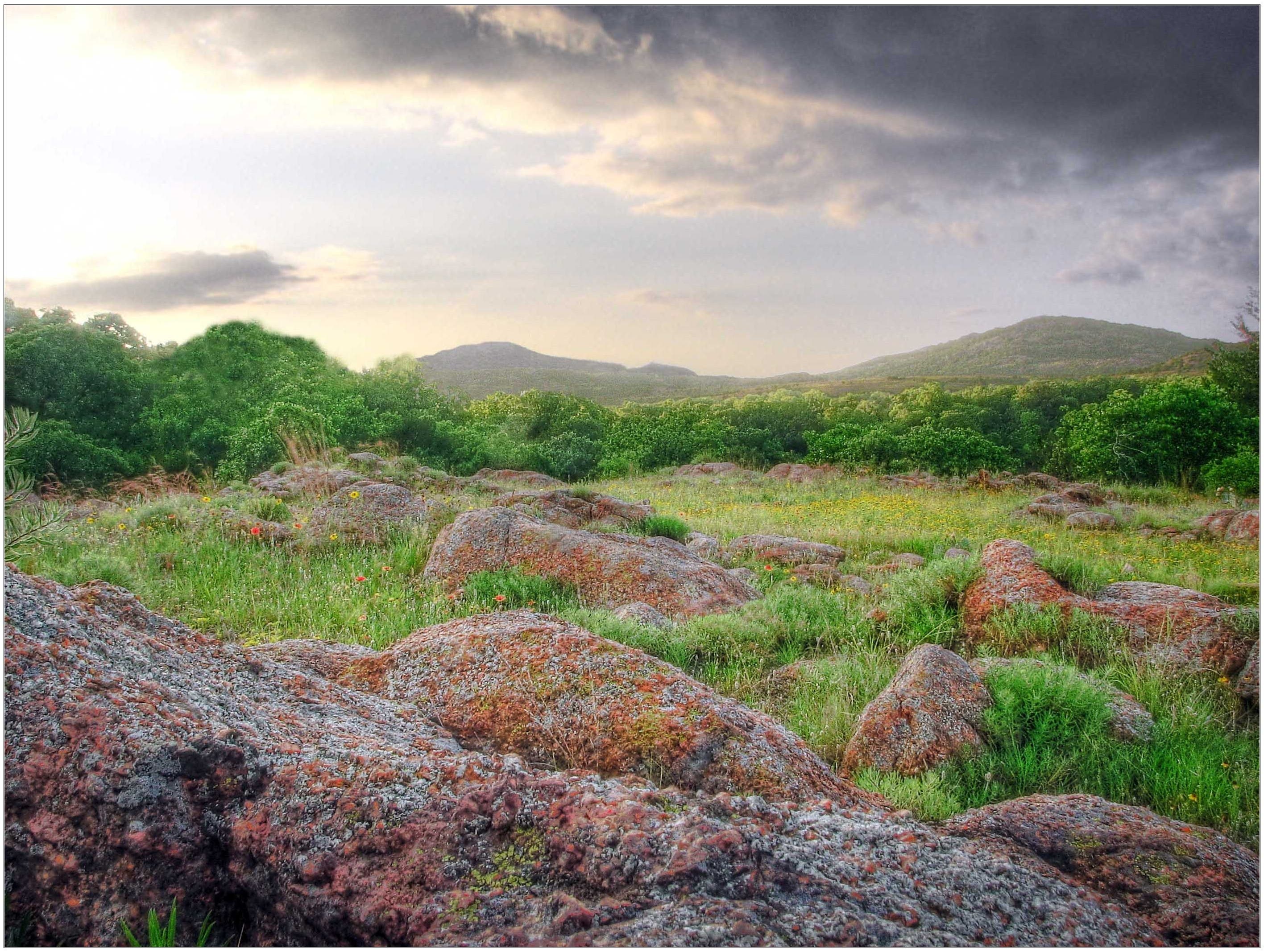
Tahawus today is a ghost town at the end of a dirt road, but the infrastructure available to hikers has come leaps and bounds since Roosevelt visited with his family. A 9-mile trail leads from the Upper Works Trailhead to Marcy’s summit along the same route Roosevelt followed, winding through open hardwoods along Calamity Brook before climbing steeply beside the Opalescent River and Feldspar Brook to Lake Tear of the Clouds, the source of the Hudson River. From a clearing near the water—roughly where Roosevelt learned of the President’s deteriorating state—the rocky cone of Marcy rises a calf-burning mile overhead.
Chilkoot Trail
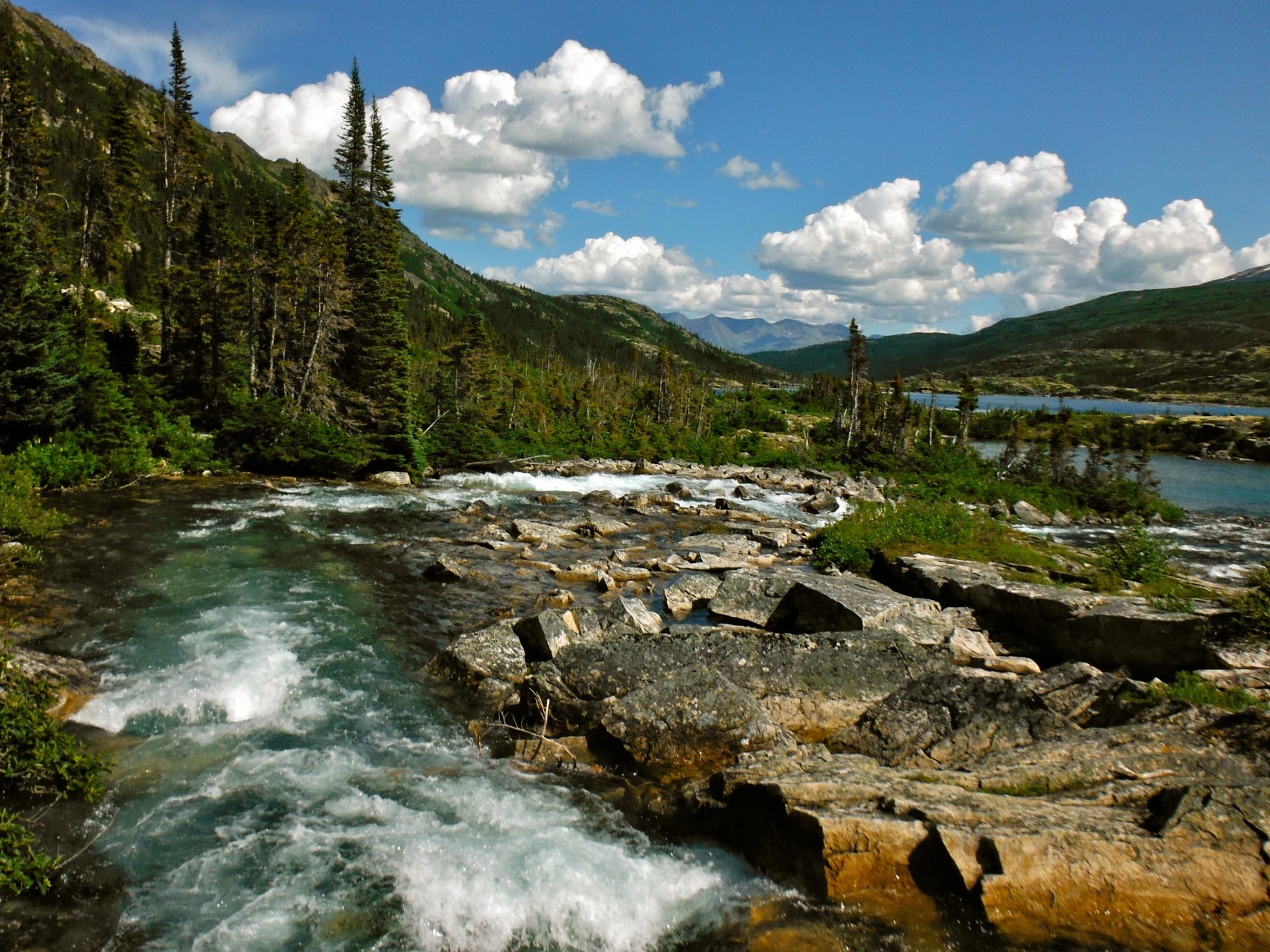
During the 1890s, the Chilkoot Trail was the route for gold-hungry miners, slicing from Alaska through the Coast Range to the source of the Klondike River at Lake Bennett, British Columbia. “The Golden Stairs” quickly gained a reputation as an extremely difficult trek, climbing through wet coastal rainforest and over snowy Chilkoot Pass. After the deaths of numerous unprepared travelers, Canadian authorities began recommending travelers carry a full year’s worth of supplies, totaling roughly a ton of food and gear. A competing route, White Pass, was longer but less dangerous, and in 1899 saw the opening of a railroad that would make the Chilkoot Trail obsolete. Today, the 33-mile route is jointly managed by the US and Canadian Park Services. Most hikers start in Dyea and summit the pass, crossing into Canada during a long third day, before descending to Bennett and taking the trail either back to Skagway, Alaska, or to Whitehorse, Yukon Territory.
Cumberland Gap National Historical Park
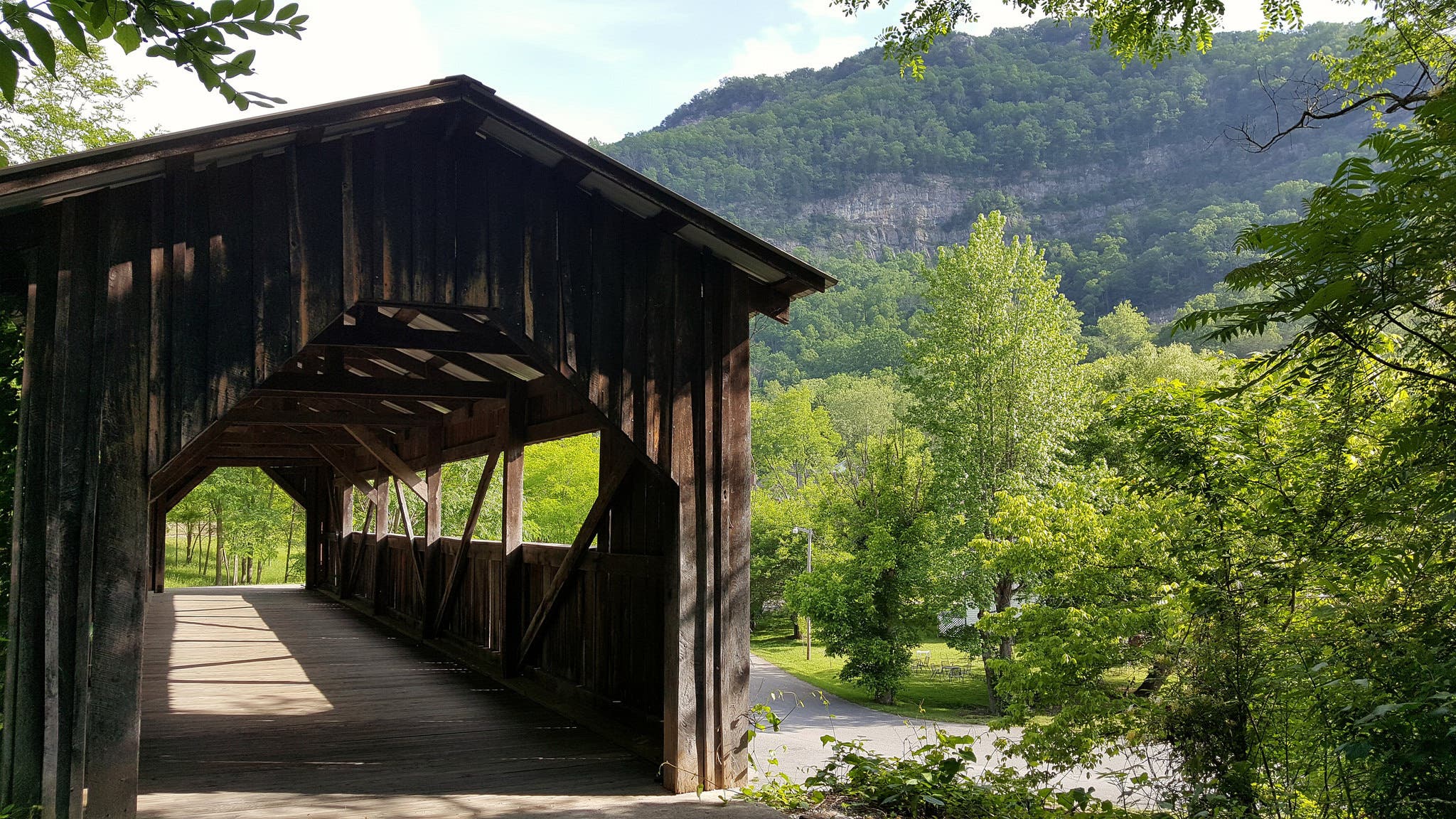
A divot in the vast Appalachian Mountains, the Cumberland Gap has long been a doorway to the west, first for the Cherokee and Shawnee, then for colonial hunters and traders. In 1775, Daniel Boone and a team of men arrived to explore the gap and widen the vague trail through it, paving the way for settlement of Kentucky, Tennessee, and beyond. Follow their route by taking the Boone Trail from the Wilderness Road Campground on the East side of the Gap. After 1.6 miles, the trail becomes the Wilderness Road and climbs to the summit of the Gap among spacious hardwoods, then descends to the Thomas Walker Parking Area as the Object Lesson Road Trail starting at mile 3. Reverse the route to head back to your car.
Little Emigration Canyon
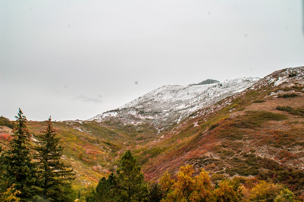
This mountain pass was a common thoroughfare through the Wasatch east of Salt Lake City before the area was heavily populated. The wagon train of the Donner Party made their way through it in 1846, Pony Express riders regularly trekked through the canyon, and eventually the Mormon pioneers used it as an access route to Salt Lake. The 8.4 mile out-and-back up into Little Emigration from East Canyon Road follows the exact path many of these groups took. Starting from the site of a former pioneer camp, the trail winds along a small creek through sage and cottonwood, continuing higher into stands of spruce and aspen.
Crow Pass
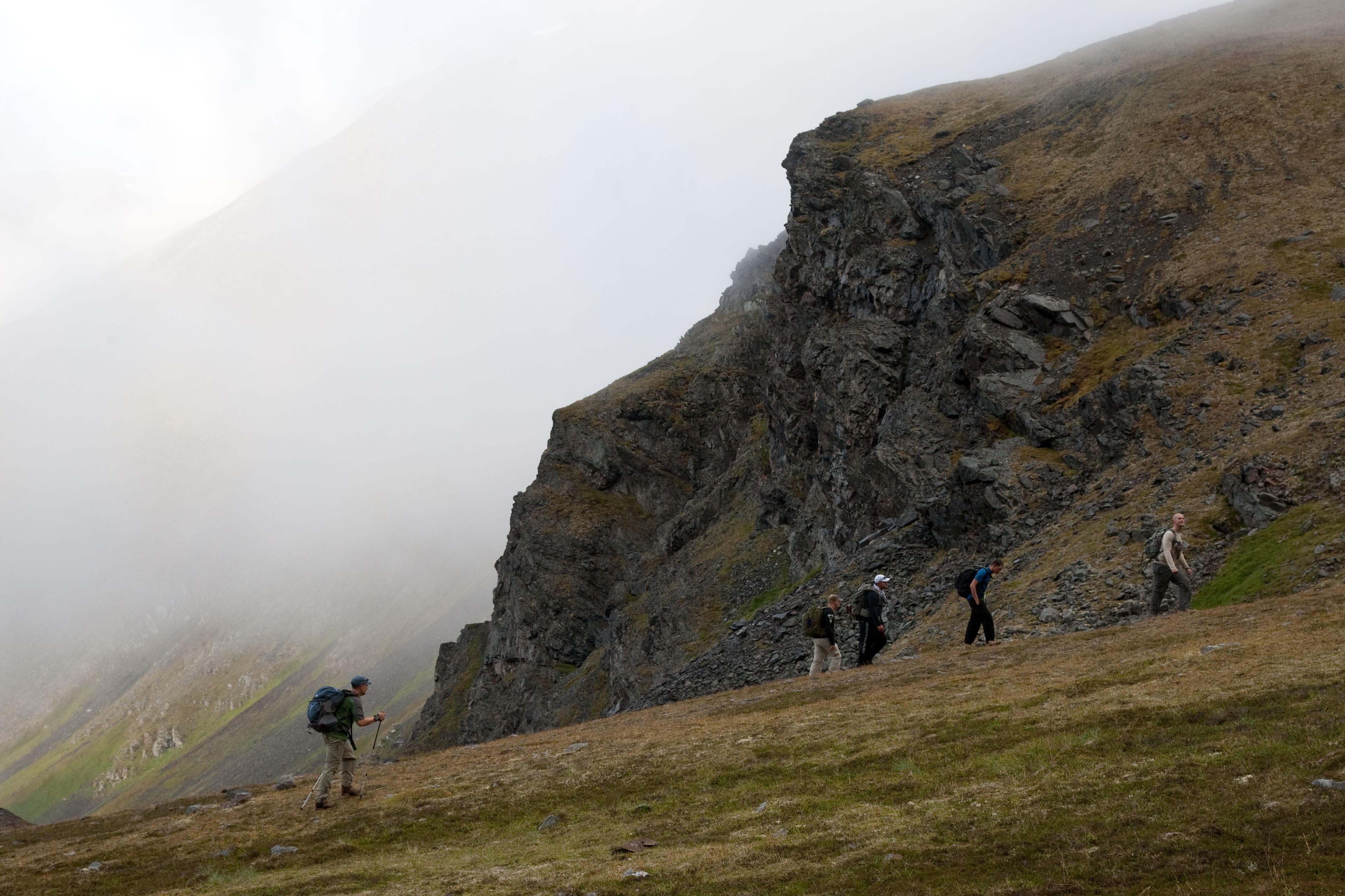
Originally, the Iditarod Trail was a patchwork of trade routes and paths through the mountains from Seward, Alaska to Nome. In the early 20th Century, thousands made their way west via the trail in search of gold. The Iditarod gained its contemporary fame during the 1925 Nome diphtheria outbreak, when serum-toting sled dog teams raced along a 674-mile section of the route. Today, the Iditarod Sled Dog race commemorates that well-known feat, but the 2,300 Iditarod National Historic Trail is much long. The 21-mile hike over Crow Pass, east of Anchorage from Girdwood to Eagle River, touches the trail’s highpoint as it weaves past rumbling Raven Glacier, through abandoned mining camps and up the wide Eagle River Valley.
Lolo Trail
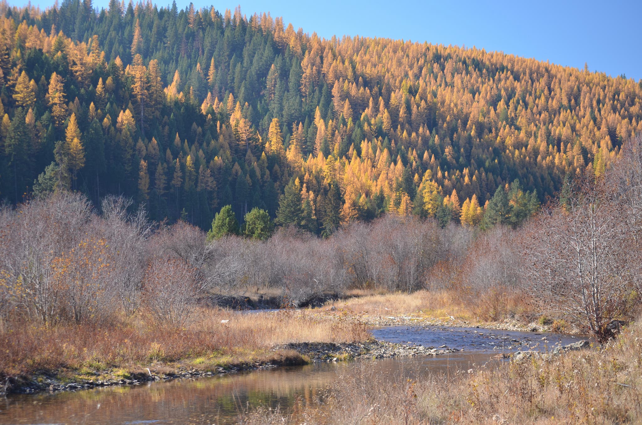
The Lolo Trail cuts a route through the Bitterroot Mountains, originally traveled by the Nez Perce to access western Montana from the Great Plains. In 1805, Lewis and Clark struggled for 11 snowy days along the windy ridges of the route. Later, during the Nez Perce War of 1877, nearly 3,000 Native Americans fled American cavalry via the pass. From the Howard Creek Trailhead off US 93, take the trail through ponderosa pine and past rocky crags up to 9 miles to Lolo Hot Springs.
Union Pacific Rail Trail

Of the many rails-to-trails conversions in the country, few have the history of the 28-mile Union Pacific Trail from Park City to Echo, Utah. Mining in the middle of the 19th century demanded track connecting the ore to the main Union Pacific Line in Echo. Silver mining in the mountains around Park City also demanded coal, so by 1880 the Union Pacific had tracks running all the way into the Wasatch. The line was used for more than a century, finally falling into disuse in 1989. Today, the gently rolling trail is the perfect venue for peeping at local wildflowers like paintbrush and penstemon.