Bend, OR: Three Fingered Jack

A challenging trek for hikers and climbers alike, this 12.2-mile out-and-back leads to the top of Three Fingered Jack, a striking shield volcano in the Cascades.
Hike Three Fingered Jack
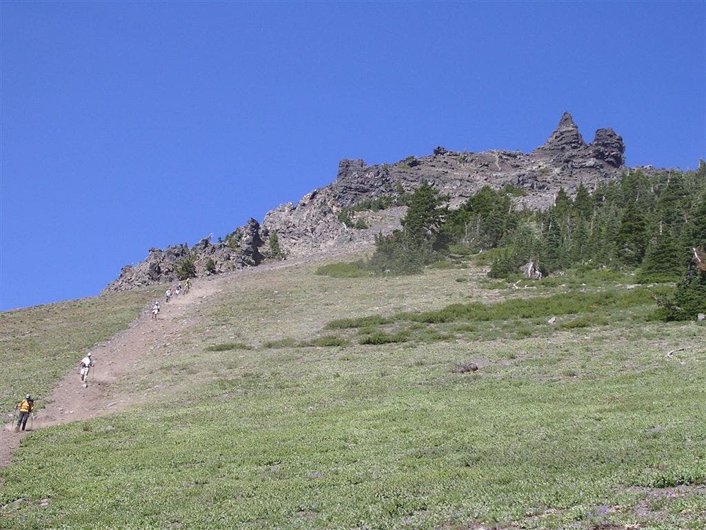
From the trailhead, hike north on the Pacific Crest Trail. The path travels through fire-burnt forest before veering right onto an unmarked climber’s trail that leads up Jack’s south ridge (avoid the tempting surplus of side trails along the way). At mile 5.6, the trail crests the ridge and turns north over scree and loose gravel; Three Fingered Jack’s spiny ridge rises above.
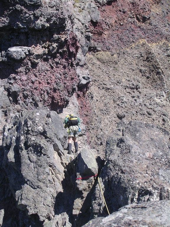
Roughly 6 miles into the hike, the route traverses “The Crawl,” an exposed and narrow ridgeline just below the summit. At this point, hikers should take in the spectacular views of the surrounding topography before turning around for the return trip to the trailhead. Experienced climbers should use a fixed line and a Prusik to maneuver across the knife-edge ridge. From here, it’s a Class V climb to gain the summit. At the top, look to the east for views of Black Butte; Duffy Butte rises to the west; and Mount Washington and the Three Sisters dominate the southern horizon. Follow the same route back to the trailhead.
-Mapped by Trung Q. Le
Trail Facts
- Distance: 19.6
Waypoints
Three Fingered Jack
Location: 44.4729146, -121.8440437
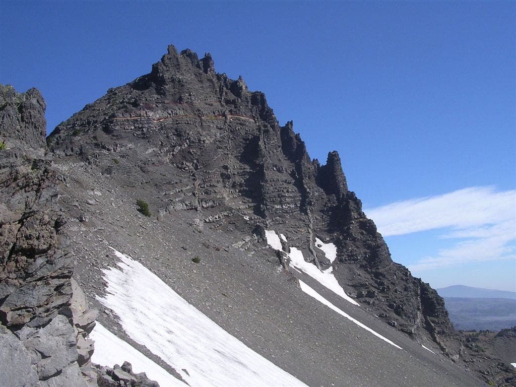
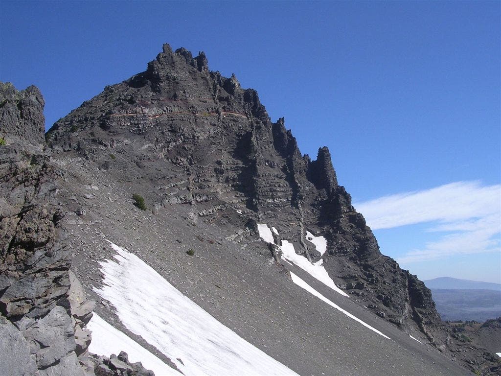
The summit block from the South Ridge.
Burned Forest
Location: 44.4289992, -121.8486786
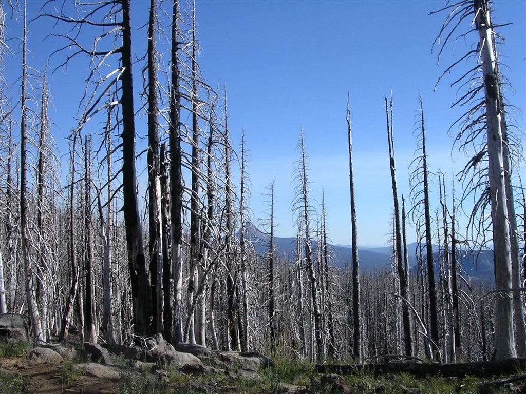
The woods surrounding the Pacific Crest Trail show evidence of a recent forest fires.
Three Fingered Jack
Location: 44.4679993, -121.8535709
Jack’s unmistakable three-pronged summit, as seen from the Pacific Crest Trail.
Scree Field
Location: 44.4739711, -121.8443871
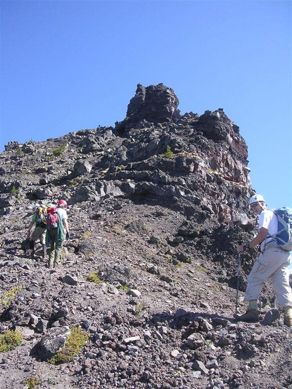
Climbing over this scree field is tricky: exercise caution.
Scree Trail
Location: 44.4762678, -121.8441939
The Crawl
Location: 44.4781166, -121.8432283
TFJ001
Location: 44.4254517, -121.8493009
From the east end of the parking area, pick up the Pacific Crest Trail (PCT) to begin your hike.
TFJ002
Location: 44.4256287, -121.8485947
Continue straight on the PCT @ 3-way junction (trail on the right leads to Square Lake). Ahead, the flat and dusty trail cuts through trees burned by a recent forest fire.
TFJ003
Location: 44.4375343, -121.8550491
Bear right @ Y-intersection to stay on the PCT. The trail on the left leads to Santiam Lake.
TFJ004
Location: 44.4732361, -121.8497238
Bear right @ Y-junction onto an unmarked climber’s trail composed of loose scree and soil. The route passes numerous connecting side trails and intersections: choose the path of least resistance. Look for northern views of Three Fingered Jack.
TFJ005
Location: 44.4736343, -121.8457818
Continue straight toward the ridge. Bypass the trail leading directly to the summit via a gully. Although it appears quicker, it consists of shifty loose scree and makes for a very difficult ascent.
TFJ006
Location: 44.4729146, -121.8441242
Crest the South Ridge, then turn left for a scramble over loose rocks and soil. Use caution traversing skinny ledges flanked by precipitous drop-offs.
TFJ007
Location: 44.4781204, -121.8432873
“The Crawl”: Climbing equipment and experience is strongly recommended along this exposed, 30-foot section of ridgeline. Hikers without climbing skills should turn around at this point. Climbers: Use a fixed line and a Prusik to maneuver across this knife-edge ridge.
TFJ008
Location: 44.4787788, -121.8428574
The summit block: This Class V climb is best done by anchoring your rope to the large rock at the top. The climb culminates at the false summit. Note: Climbers must set up a belay to reach the true summit (roughly 100 feet to the north).
TFJ009
Location: 44.4789772, -121.8430481
Three Fingered Jack: This small and exposed summit offers dizzying views of Black Butte to the east; Eight Lakes Basin to the north; Duffy Butte to the west; and Mount Washington and the Three Sisters to the south. Retrace your route to the trailhead.