Bend, OR: Mount Washington via Pacific Crest Trail

The challenging 5.3-mile climb to the top of 7,794-foot Mount Washington starts out gently with a flat and easy stretch along the Pacific Crest Trail. Warm up on an easy 3-mile stretch before turning left onto a climber’s trail that veers to the southeast en route to the North Ridge. Although the path travels through the forest, keep an eye out for intermittent glimpses of Mount Washington’s distinct summit through the gaps in the trees. Four miles into the hike, the first true views of Mount Washington appear to the southeast. Less than half a mile later, the trail crests the North Ridge and travels up the spine of the ridge to the summit block. Tackle a 1- to 3-pitch climb to reach the summit, and reward yourself with 360-degree views of the surrounding Cascades before starting the return trip to the trailhead.
Note: A climbing rope and a hard hat are recommended on this route.
-Mapped by Trung Q. Le
Trail Facts
- Distance: 8.6
Waypoints
MTW001
Location: 44.3801308, -121.8558655
The route starts where the Pacific Crest Trail (PCT) intersects the dirt road (this junction is marked with a large PCT sign). Head south through thin growth on a very flat stretch of trail. Enjoy it while it lasts; you’ll start gaining elevation near mile 2.5.
MTW002
Location: 44.3588982, -121.8717422
As you pass this point, Mount Washington can be seen to the southeast through the trees. Ahead, the flat, dusty trail curves to the southeast.
MTW003
Location: 44.3506851, -121.8652954
Turn left @ 3-way intersection onto a climber’s trail marked with cairns. In roughly 100 feet, bear left @ Y-intersection to access Washington’s North Ridge. (The trail to the right gradually ascends a meadow, then aggressively climbs a scree field to the base of the summit block. This trail is very difficult to ascend and is generally used to descend the summit.) The trail continues to travel under the covering of the trees that offer intermittent glimpses of Washington’s summit. Watch your footing as the path becomes looser and steeper.
MTW004
Location: 44.3450089, -121.8499527
You’ll get your first true views of Mount Washington’s summit block and the North Ridge 4 miles into the hike. From here, the trail continues to aggressively climb to the ridge under the covering of trees. The trail transitions from loose soil to large rocks, and will gradually become loose scree and dirt intermixed with large rocks.
MTW005
Location: 44.3420821, -121.8434858
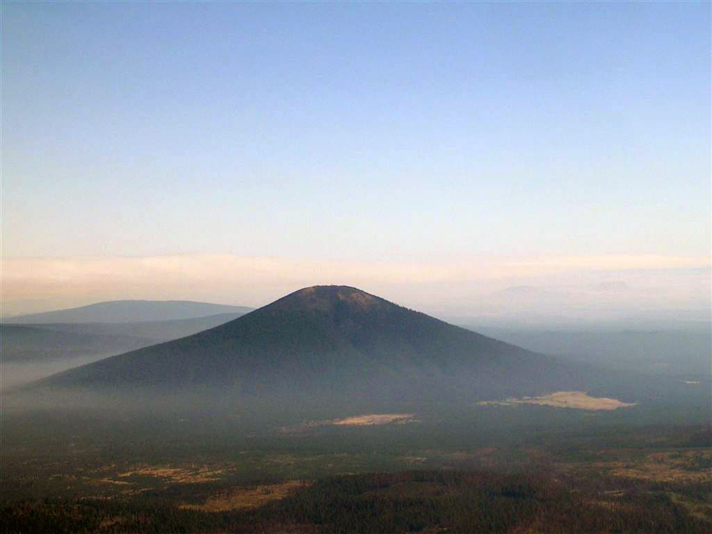
Crest the North Ridge of Mount Washington. For more views, scramble up and over a nearby rock outcropping to see Black Butte to the east and Three Fingered Jack and Mount Jefferson to the north. Next, the trail travels up the spine of the ridge on very loose soil, scree, rock, and shale. From this vantage point, you can start to notice detailed features of the summit block.
MTW006
Location: 44.3327255, -121.8381577
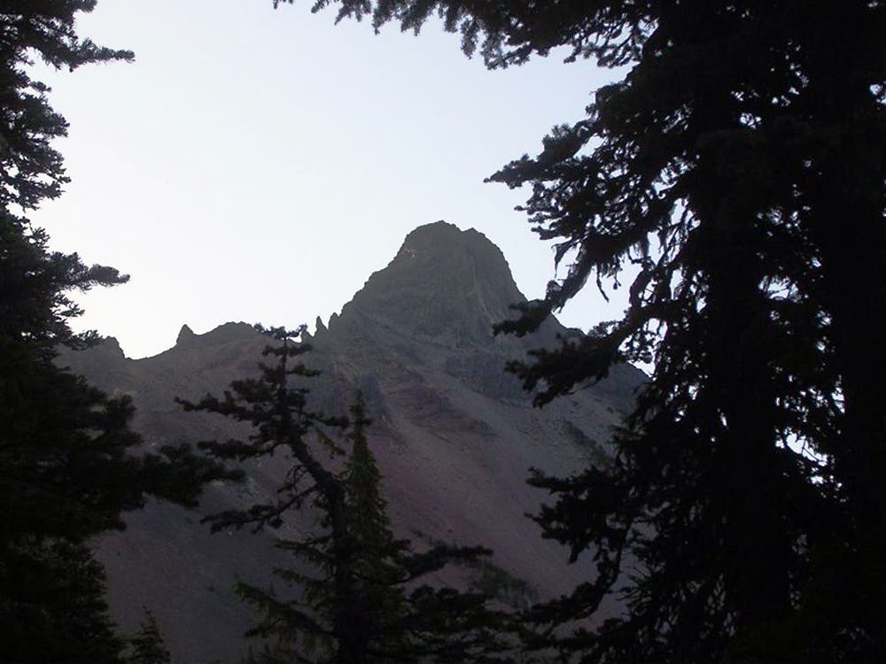
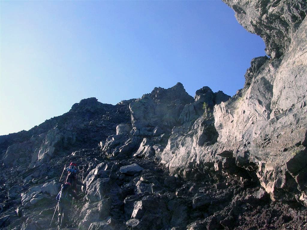
The summit block of Mount Washington: At this point, you’ll have to climb 1-3 pitches to reach the summit. There’s a low 5th class crux at the beginning and a 3rd-4th class scramble for the remaining stretch to the summit. Multiple slings, carabiners, and rappel rings are attached to the surrounding rocks.
MTW007
Location: 44.3321457, -121.8385162
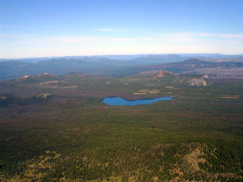
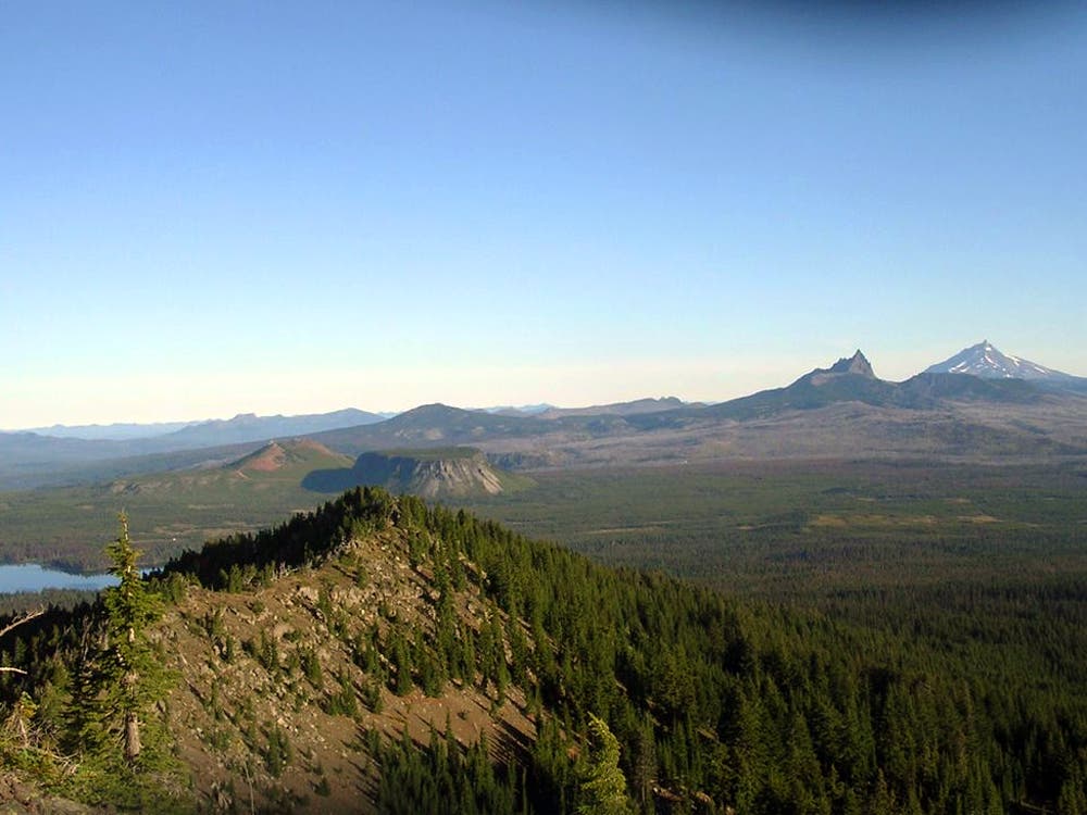
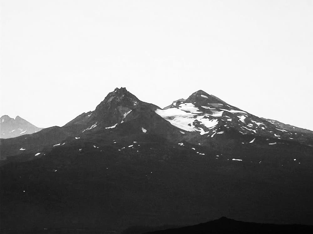
Mount Washington (7,794 ft.): Views of the Cascades surround you on the summit of this shield volcano. Three Fingered Jack and Mount Jefferson rise to the north; the Three Sisters break up the horizon to the south; Big Lake stretches out below. Follow the same route back to the trailhead.
Big Lake
Location: 44.3480821, -121.8534207
©Trung Q. Le
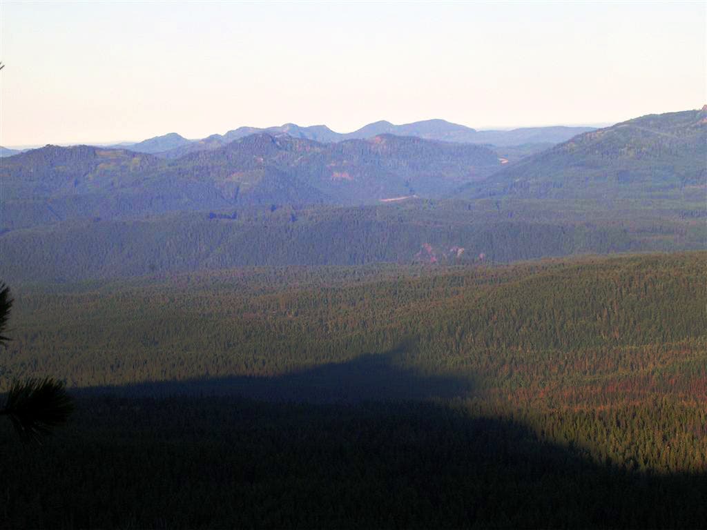
Mountain Shadow
Location: 44.3437394, -121.8456745
©Trung Q. Le
The Summit Block
Location: 44.342036, -121.8432498
©Trung Q. Le
Black Butte from the North Ridge
Location: 44.3409157, -121.8423057
©Trung Q. Le
Cascade Peaks
Location: 44.3397801, -121.8406963
Views of Big Lake, Three Fingered Jack, and Mount Jefferson. ©Trung Q. Le
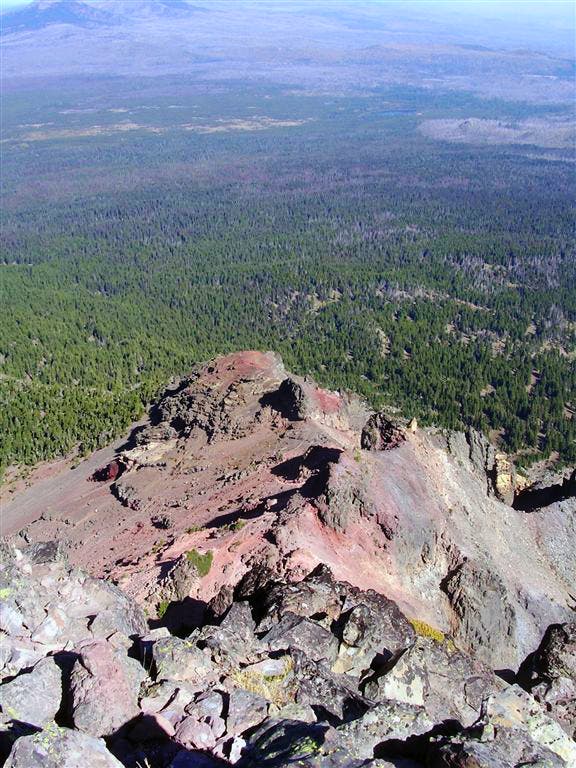
North Ridge
Location: 44.3383989, -121.8394947
©Trung Q. Le
North and Middle Sister
Location: 44.3324286, -121.8381858
©Trung Q. Le
Summit view of the North Ridge
Location: 44.3321216, -121.8384004
View of the North Ridge approach. ©Trung Q. Le