Bend, OR: Deschutes River Trail

Hike the Deschutes River Trail
Pick up the Deschutes River Trail at Pioneer Park, and hike south. After crossing Portland Avenue and a narrow park, divert around a power substation, cross Newport Avenue, and walk down Brooks Street through the historic downtown area. At the Pine Tavern (make a dinner reservation!), hang a right through the public parking lot to pick up the river trail again. Head south through Harmon and Drake Parks to Galveston Avenue, where you’ll cross the bridge to the west side of the river.
Turn left (south) at Harmon Street, which turns into Columbia Street. Take a quick walk through Columbia Park then a short stretch down Allen Road. At the bend, look for a dirt trail leading back down to the riverside and follow a grassy path into McKay Park. At McKay Park is a small, sandy beach, and the location of a low spillway dam on the Deschutes. Cross the spillway on an old trestle bridge, then look for a faint trail on the right that passes under the road overpass. Soft trail continues for a ways, past some developments, then reverts back to paved path approaching the Mill District shopping and dining center. REI occupies the old mill building sporting the three giant stacks.
Continue south along the east side of the river, passing under Columbia Street, through an undeveloped section, then turning west to enter the Woodriver Parks on paved path. The route merges into Farewell Bend Park where a wooden boardwalk extends out over the river for decent views. Near the corner of the park, where you’ll find restrooms and a kiddie playground, a footbridge crosses to the west side of the river; take this bridge then turn left (south) on dirt trail for more riverside strolling to the Reed Market Road overpass (the hike’s turnaround point).
On the return trip, stay on the west side of the river through Riverbend Park, past the outdoor amphitheater opposite the Mill District, and make a quick diversion on Shelvin Hixon Road. Re-cross Colorado Avenue and return to McKay Park. From this point, double back on the earlier route, or shortcut through downtown crossing back to the east side of the river on Colorado Avenue, then taking a left (north) on Wall Street to return to Pioneer Park.
-Mapped by Eli Boschetto, Bosco Mountain Photo
Trail Facts
- Distance: 10.2
Waypoints
DES001
Location: 44.064799, -121.310212
Start the Deschutes River Trail at Pioneer Park. Cross Portland Avenue and pick up the riverfront trail toward downtown.
DES002
Location: 44.059898, -121.314066
Turn right at the public parking past the Pine Tavern (make dinner reservations here) to pick up the river trail again, heading west to Harmon and Drake Parks
DES003
Location: 44.059329, -121.316468
Enter Harmon Park.
DES004
Location: 44.059979, -121.320659
Drake Park
DES005
Location: 44.056567, -121.32421
Cross bridge on Galveston/Tumalo Avenue. Turn left on Harmon Boulevard.
DES006
Location: 44.053097, -121.325734
Divert through Columbia Park, then follow Allen Road for a short stretch.
DES007
Location: 44.051317, -121.324902
Where Allen Road bends, look for a dirt trail to the riverside; follow it to McKay Park.
DES008
Location: 44.049704, -121.321206
At the southern end of McKay Park, cross the spillway dam. Look for a faint trail on the right, which passes under Colorado Avenue.
DES009
Location: 44.047375, -121.316271
Mill District
DES010
Location: 44.046126, -121.315235
REI: Drop in and check out new gear.
DES011
Location: 44.041391, -121.318138
Woodriver Park
DES012
Location: 44.041133, -121.323352
Farewell Bend Park
DES013
Location: 44.041746, -121.324065
You’ll get views of the Deschutes River from the boardwalk in Farewell Bend Park.
DES014
Location: 44.040992, -121.325264
Restrooms and playground
DES015
Location: 44.042378, -121.325133
Cross footbridge and turn left onto dirt track to end at road overpass; double back.
DES016
Location: 44.042153, -121.320496
Riverbend Park
DES017
Location: 44.042665, -121.317977
Pass the dog park. Cross Columbia Street.
DES018
Location: 44.047087, -121.317775
Pass outdoor amphitheater, then divert onto Shelvin Hixon Road. Next, cross Colorado Avenue to McKay Park.
Deschutes River Trail
Location: 44.06423, -121.309635
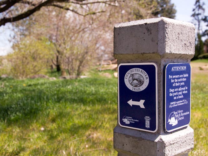
The Deschutes River Trail begins in Pioneer Park, just north of Bend’s historic downtown.
Harmon Park
Location: 44.059836, -121.317558
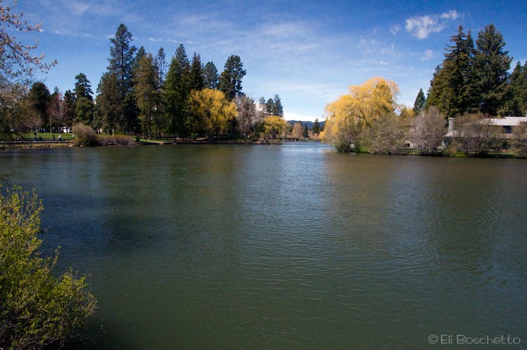
Deschutes River from Harmon Park.
McKay Dam
Location: 44.050152, -121.321657
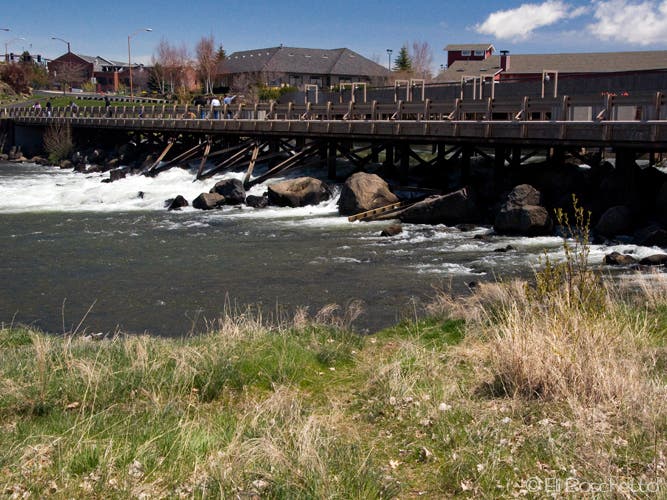
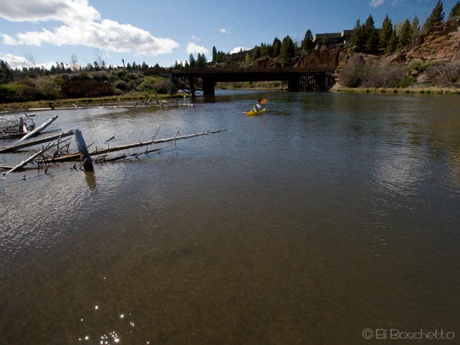
Cross the spillway dam on an old trestle bridge.
Deschutes River
Location: 44.049211, -121.318631
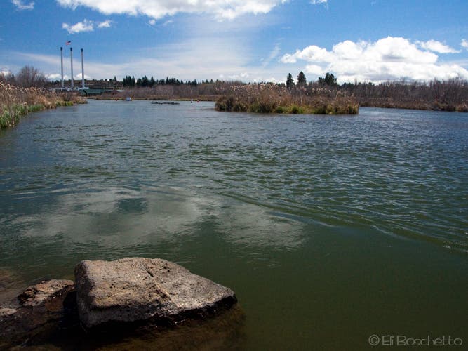
On the Deschutes River Trail, approaching the Mill District.
Shoreline
Location: 44.046512, -121.316142
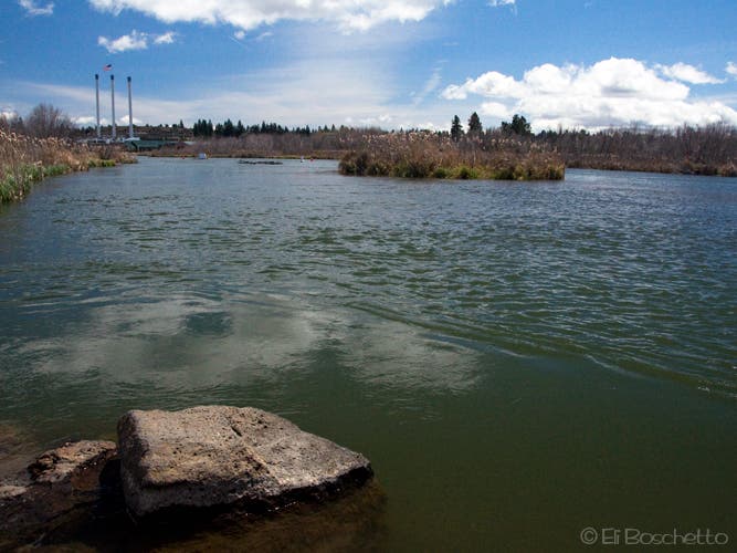
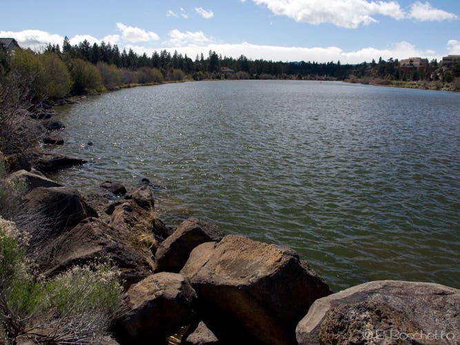
The rocky shoreline of the Deschutes River near the Mill District.
Woodriver Park
Location: 44.041622, -121.317301
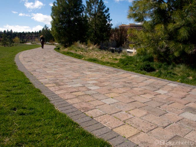
Paved riverside path through Bend’s Woodriver Parks.
River View
Location: 44.041746, -121.324017
Deschutes River view from the boardwalk in Farewell Bend Park.
River Trail
Location: 44.042224, -121.326377
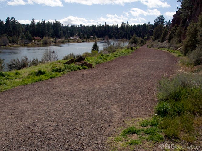
Dirt trail along the Deschutes heading toward Mt. Bachelor Village.
Deschutes River
Location: 44.040018, -121.330454
Beyond the road crossing, a more wooded riverside along the Deschutes.