Baxter State Park, ME: Mount Katahdin via The Knifes Edge

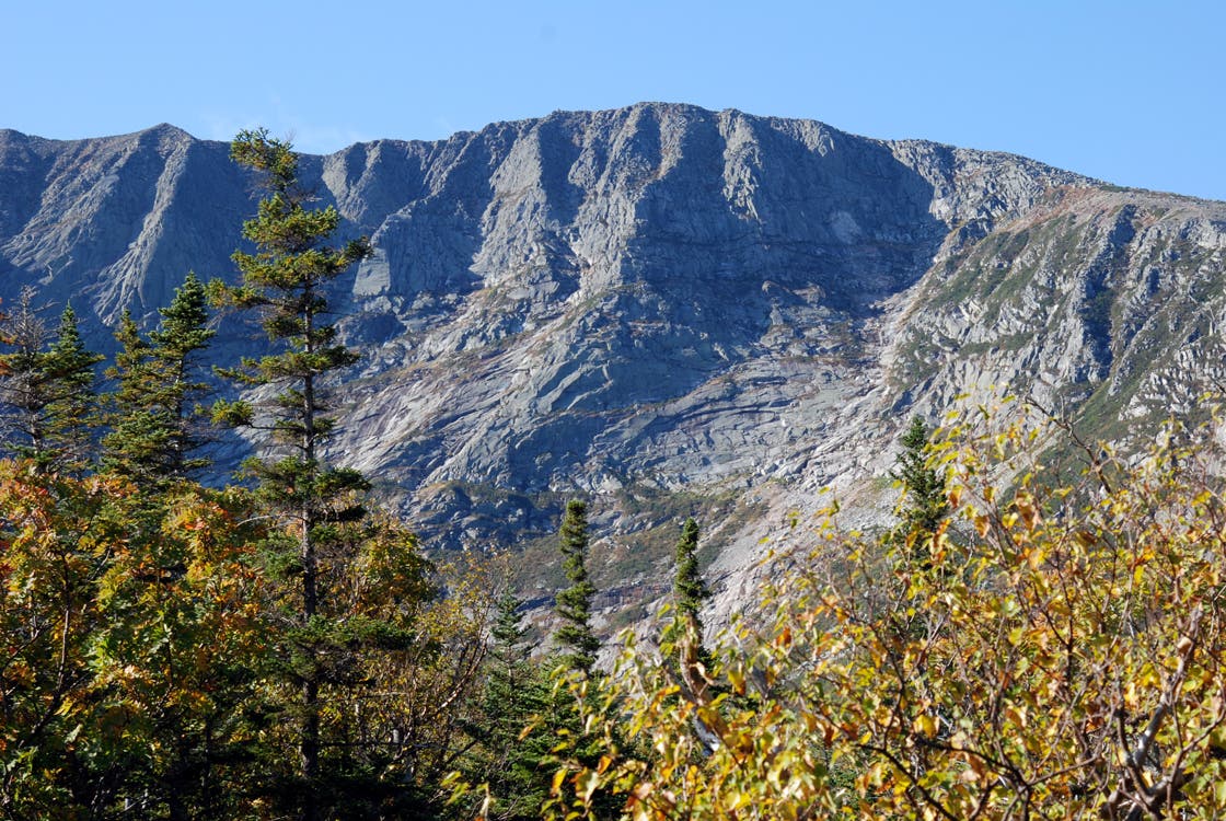
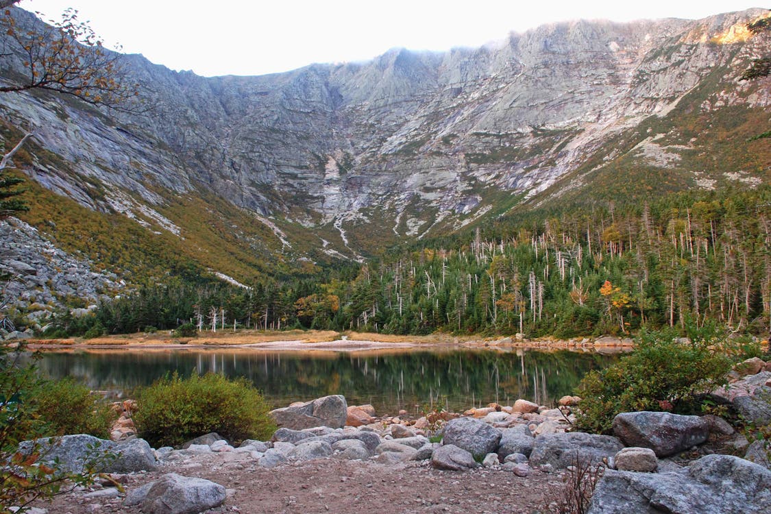
You could climb 5,268-foot Katahdin in a day (as many hikers do). But Densmore has a weekend itinerary that sidesteps parking-lot crowds—and includes lakeside camping at Chimney Pond (reserve four months in advance). From the Roaring Brook Campground, take the Chimney Pond Trail 3.3 miles to your lean-to below Katahdin’s steely cliffs.
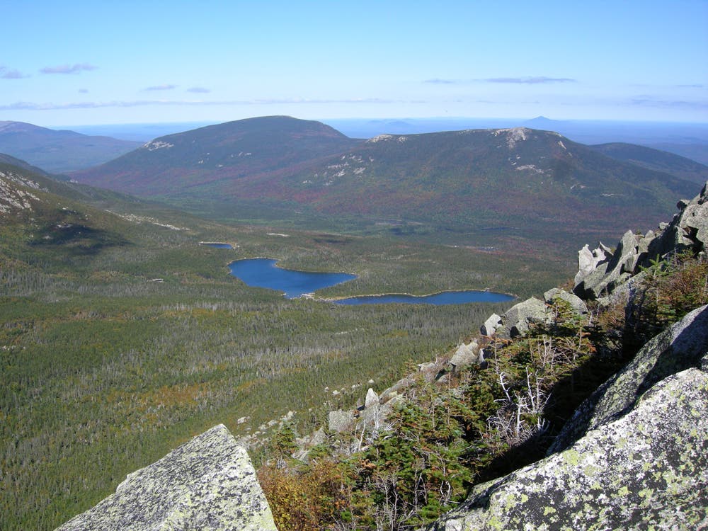
Next morning, begin a strenuous, 4.6-mile loop on the Dudley Trail, scrambling over car-size boulders up 2,000 feet in 1.4 miles. Top barren, 4,919-foot Pamola Peak and check for signs of storms before braving the Knife’s Edge, a 1.1-mile ridge only three feet wide in places, with 1,500-foot drops. Snag summit views of primeval forest and glacier-carved cirques before heading back to camp on the slightly mellower 2.2-mile Saddle Trail.
Contact: Baxter State Park, Millinocket, ME; (207) 723-5140; baxterstateparkauthority.com
-Mapped by Ryan Villano
Trail Facts
- Distance: 16.1
Waypoints
TKE001
Location: 45.920393, -68.857852
Begin hiking east at the Chimney Pond Trailhead – you’ll find it in the Roaring Brook Campground.
TKE002
Location: 45.921005, -68.878655
Gain 500 feet of elevation in 1.1 miles as you hike alongside Roaring Brook.
TKE003
Location: 45.920528, -68.893847
Less than a mile from TKE002, the trail continues to climb 400 more vertical feet. Here, trek around the southern shoreline of Depot Pond.
TKE004
Location: 45.916113, -68.911269
At mile 3.3, reach your lean-to below Katahdin’s steely cliffs for lakeside camping at Chimney Pond (reserve four months in advance). Next morning, prepare for a strenuous, 4.6-mile loop on the Dudley Trail.
TKE005
Location: 45.905927, -68.905993
Scramble over car-size boulders up 2,000 feet in 1.4 miles to crest barren-top, 4,919-foot Pamola Peak.
TKE006
Location: 45.90527, -68.906422
Check for signs of storms before braving the Knife’s Edge, a 1.1-mile ridge only three feet wide in places, with 1,500-foot drops.
TKE007
Location: 45.902642, -68.911743
Follow the trail southwest – it holds steady at 4800 feet for .3 mile. Next up: a 400-foot elevation gain to Baxter Peak.
TKE008
Location: 45.904523, -68.921871
Snag summit views of primeval forest and glacier-carved cirques atop 5,200-foot Baxter Peak.
TKE009
Location: 45.907838, -68.927708
Lose 400 feet of elevation as you being your descent, and the 2.2 mile – slightly mellower -hike back to camp on the Saddle Trail.
TKE010
Location: 45.913422, -68.932557
After .4 mile, continue as the trail switchbacks and takes a sharp turn to the east. The trail continues to descend for about a mile.
TKE011
Location: 45.916408, -68.915305
In .2 mile, join back up with TKE004, and retrace your steps to the trailhead.
Katahdin from Chimney Pond
Location: 45.915034, -68.912129
Summit over Chimney Pond
Location: 45.914974, -68.911743
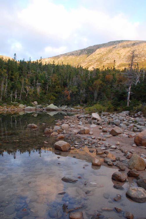
Chimney Pond
Location: 45.914885, -68.911142
Chimney Pond
Location: 45.914765, -68.910799
View from Pamola Peak
Location: 45.906136, -68.905909