Baton Rouge, LA: Clark Creek Natural Area

More than 40 waterfalls pepper the Clark Creek Natural Area, making it a prime locale for ultra-scenic Mississippi hiking. This strenuous lollipop loop follows a rough-and-tumble trail through a series of leg-burning ascents and equally sharp descents. From the trailhead, descend a gravel path, heading southwest through hardwood forest. After 0.4 mile, bear left at the Y-junction to start the loop on a primitive trail. Over the next 3.8 miles, the trail passes through remote stretches where you’ll spot waterfalls pouring into rocky coves. At times, the trail traces the streambed, ascends wooded hills, and reveals views of the surrounding countryside. The hike culminates at the base of 2 waterfalls: One is a 25-foot cascade that drips into a rocky alcove; the second is a set of three 25-foot falls that pour into a semi-circular cove. At mile 4.3, the route reconnects with Waypoint 2 and winds back to the trailhead.
-Mapped by Marcus Woolf


Trail Facts
- Distance: 7.6
Waypoints
CLA001
Location: 31.07171, -91.5117681
At the west side of the parking area, descend a gravel path, heading southwest through hardwood forest.
CLA002
Location: 31.0682179, -91.5167972
Bear left onto the primitive trail @ Y-junction and head south. Ahead, cross a stream, then begin a steep climb.
CLA003
Location: 31.064468, -91.518847
The trail passes through a remote area where, to the right, a waterfall pours into a semi-circular cove. Next, follow the trail to the southwest.
CLA004
Location: 31.0573733, -91.5183663
Look down and to the right: A thin waterfall drops 30 feet into a cove of dense brush and trees. The base of the falls is not easily accessible due to the steep terrain that surrounds the trail.
CLA005
Location: 31.0565921, -91.5191817
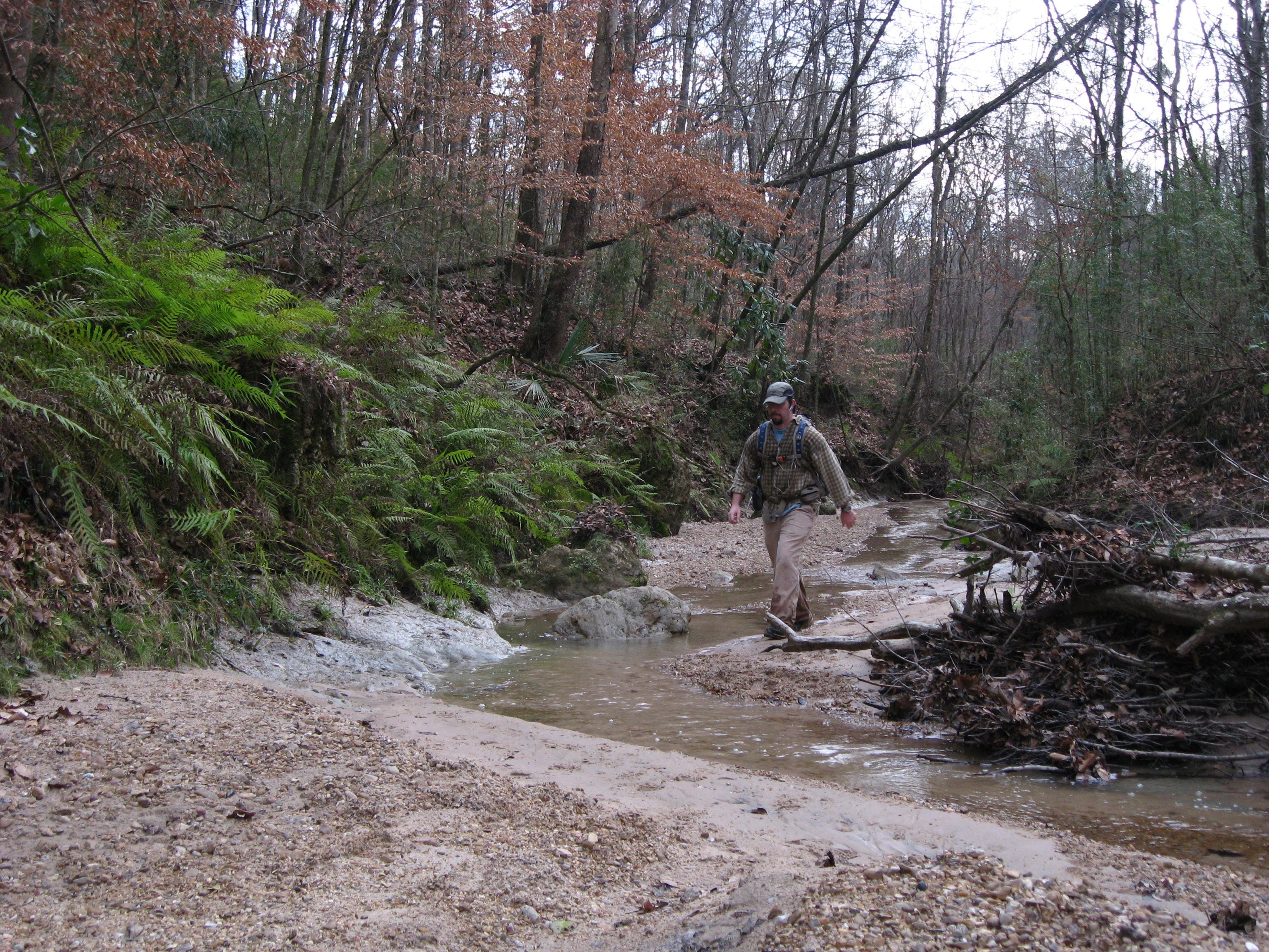
The trail follows the streambed for the next 1,000 feet.
CLA006
Location: 31.0559671, -91.522969
Turn right (northwest) and climb away from the streambed.
CLA007
Location: 31.063495, -91.522875
A small, wooden shelter sits on this hilltop. In winter, views of wooded hills stretch to the eastern horizon.
CLA008
Location: 31.0668693, -91.5246722
Turn right at Clark Creek and briefly head north/northeast. In 50 feet, turn left at the confluence of two creek channels, and walk north along the streambed.
CLA010
Location: 31.070247, -91.523922
Bear right (northeast) and climb the wooden stairs to the right, leaving the streambed.
CLA011
Location: 31.068608, -91.520796
Bear left @ Y-junction, and hike east on the wide path flanked by open hardwood forest.
CLA012
Location: 31.0679835, -91.5191817
Bear right @ Y-junction and descend to a set of wooden steps. Continue down the steps to access the base of the waterfall.
CLA013
Location: 31.0663386, -91.5187499
Stand at the base of the 25-foot falls that drip into a rocky alcove. Return to Waypoint 12 and turn right.
CLA014
Location: 31.0679675, -91.518023
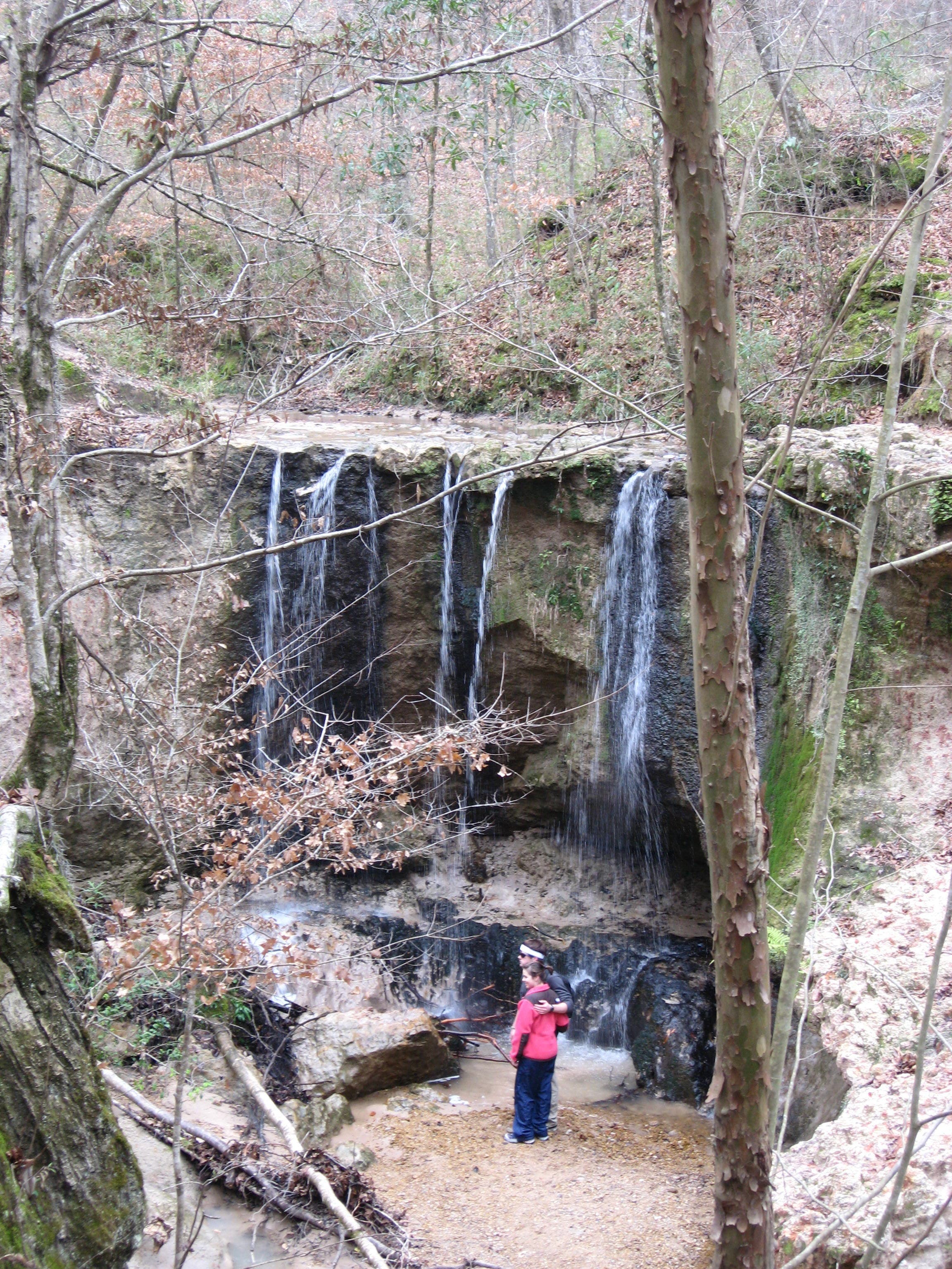
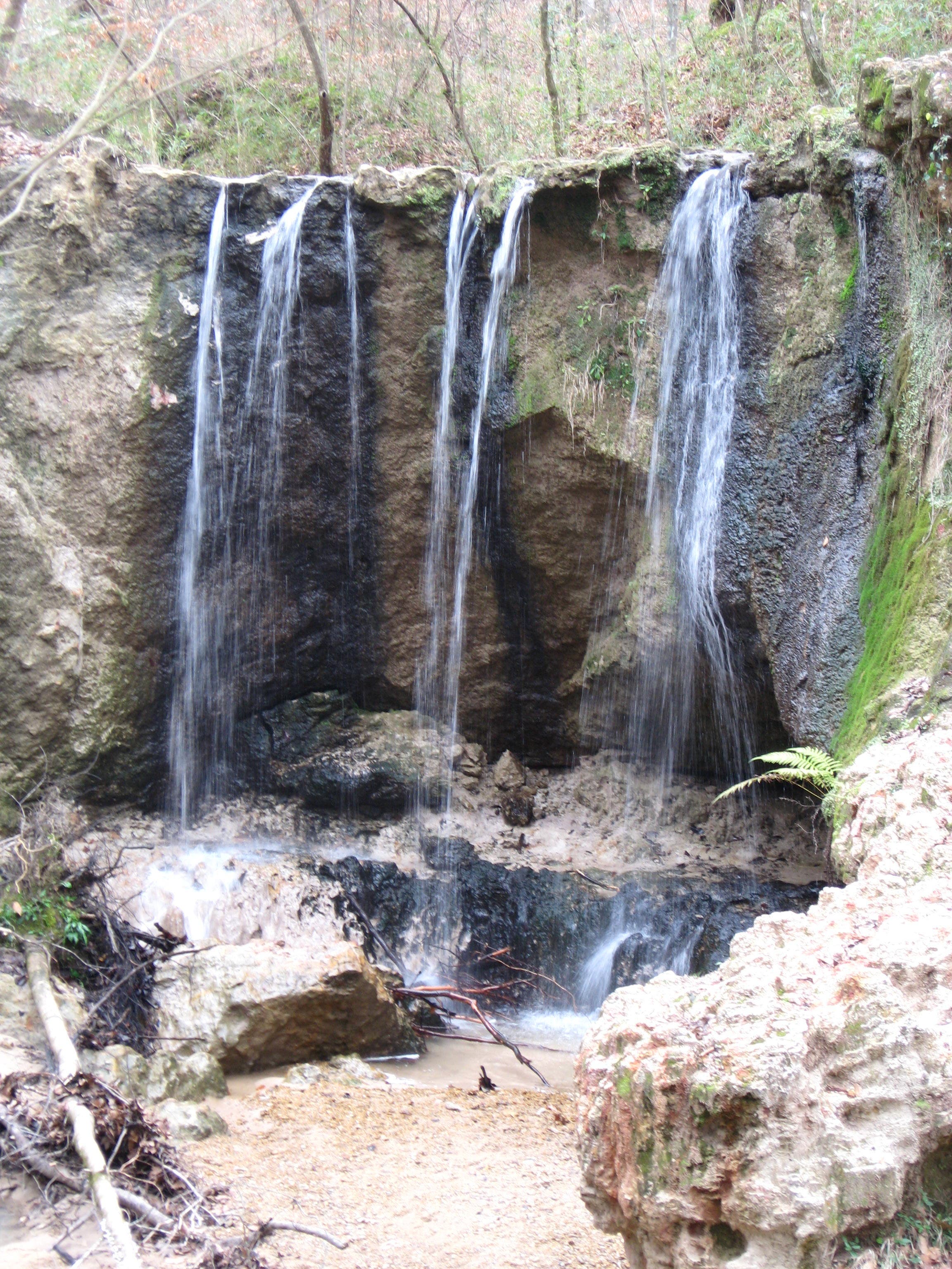
Turn right @ 3-way junction and follow the trail to another set of wooden steps. Descend the steps to reach the base of three 25-foot falls that pour into a semi-circular cove.
CLA015
Location: 31.0669451, -91.5180981
Snap some photos at the base of these falls, then turn around and return to Waypoint 14. At the T-junction, turn right. In 450 feet, continue straight @ the 3-way junction (Waypoint 2) and follow the same route back to the trailhead.
Streambed
Location: 31.0669635, -91.5245676
View of the Falls
Location: 31.0671059, -91.5180498
Base of the Falls
Location: 31.0669405, -91.5180498