Baltimore, MD: Patapsco Valley State Park

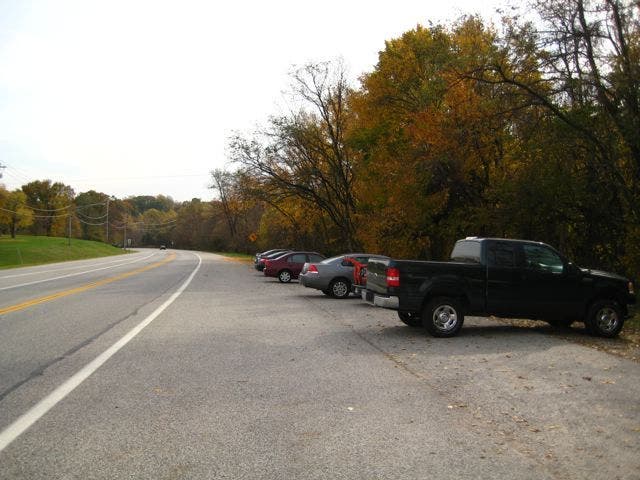
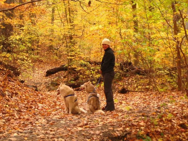
From the parking lot, begin hiking southwest on the Soapstone Trail. The trail immediately descends 200 feet to Soapstone Creek and follows the creek, zigzagging through hundred-year-old trees and thick, lush forest. At the Soapstone day use area, veer northwest paralleling another unnamed creek, before meeting up with the Bull Run Trail. Turn right onto the Bull Run Trail, climb to the top of a small hill, and cross an open meadow. Follow the path along the ridgeline before descending back down to the Soapstone trail. Turn left onto the Soapstone Trail and retrace your steps back to the car.
Mapped by Josh and Leanne Tallman
Trail Facts
- Distance: 4.4
Waypoints
WPT001
Location: 39.2451438903809, -76.7194976806641
From the parking lot, hike southwest on the Soapstone Trail (marked with purple blazes). The first 0.2 mile descend nearly 200 feet to Soapstone Creek where the trail zigzags through hundred-year-old trees; watch for small marmots scurrying around.
WPT002
Location: 39.2358207702637, -76.7254943847656
Continue straight on the Soapstone Trail @ 3-way junction.
WPT003
Location: 39.2358283996582, -76.7268981933594
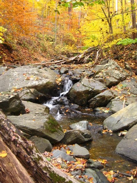
Soapstone Day Use Area: From the day use area, head northwest along an unnamed trail, paralleling a slightly larger creek.
WPT004
Location: 39.2365875244141, -76.7291870117188
Cross the creek and continue rock hopping; keep your eyes peeled for white-tailed deer hiding in the woods. Forget the hustle and bustle of city life along this stretch of wilderness.
WPT005
Location: 39.2372703552246, -76.7295989990234
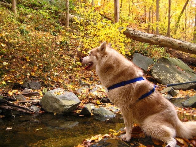
Break out some snacks and soak up the quiet on this small, flat rock along the trail. Depending on the time of day, it is not uncommon to see wildlife coming down to drink at the creek.
WPT006
Location: 39.2383613586426, -76.7285232543945
After crossing under powerlines, veer right @ 3-way junction onto the Bull Run Trail (marked by orange blazes). Next, start climb up a small hill.
WPT007
Location: 39.2391967773438, -76.7248001098633
After passing through a small meadow, continue straight across a deserted gravel road and continue hiking south.
WPT008
Location: 39.238037109375, -76.7251434326172
Begin a steep descent back down the hill to the Soapstone Trail. At Waypoint 2, turn left and retrace your route back to the parking lot.
Trailhead Parking
Location: 39.2451438903809, -76.7194900512695
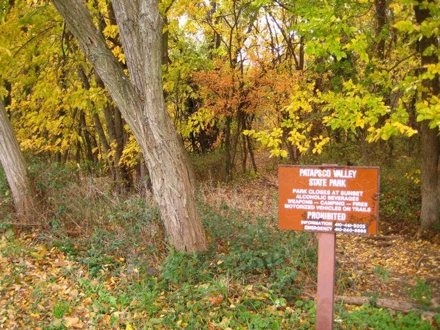
Park Boundaries
Location: 39.2449951171875, -76.7194442749024
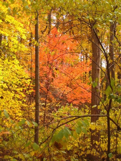
Fall Colors
Location: 39.2417526245117, -76.721061706543
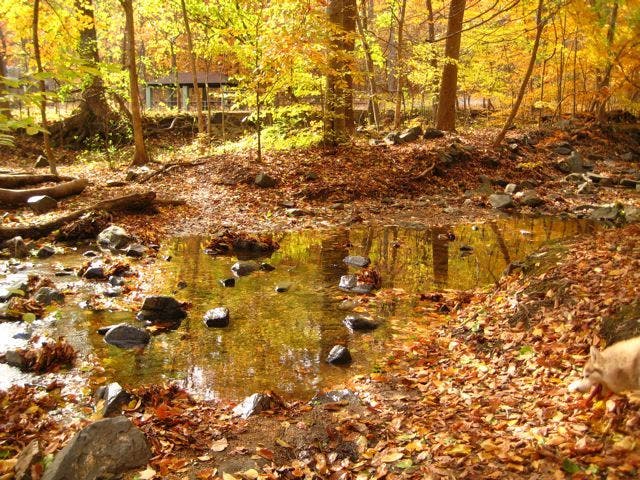
Soapstone Creek
Location: 39.2405090332031, -76.7206726074219
Soapstone Trail
Location: 39.2378768920898, -76.7227096557617
Stream
Location: 39.2357978820801, -76.7271499633789
Wooded Stream
Location: 39.2359580993652, -76.7282409667969