Published June 30, 2016 06:54AM
Balancing Speed and Altitude Sickness on the Pacific Crest Trail
PCT correspondent Amanda Jameson busts out some major miles to get back to her trail family.
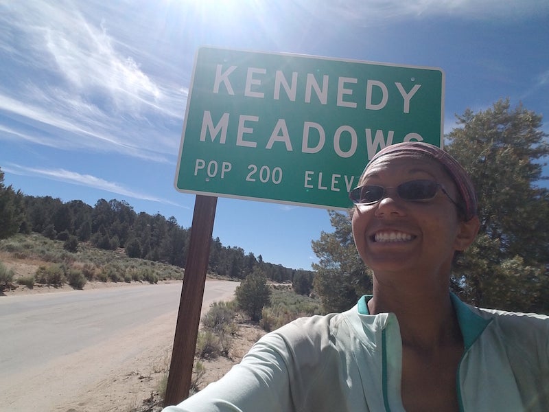
'Stranded at Kennedy Meadows (Photo by Amanda Jameson)'
After spending a day doing nothing but waiting, my bear canister came yesterday afternoon. I got to rifle through it, try to supplement from the Kennedy Meadows General Store in the places it was lacking, and basically run back to the trail. Since my friends had left that morning—and were planning on going 14 miles—I had a lot of catching up to do.
We’d talked about doing 15 miles a day or so in the Sierra, even to start—the elevation gain, not to mention the elevation itself, gets a little intense when you’re climbing mountains—and we were looking to acclimate. Rapid elevation gain can lead to mild altitude sickness, symptoms of which include dizziness, nausea, vomiting, diarrhea, headache, and general disorientation. Bad stuff.
I thought I knew where my companions were headed: Death Canyon and mile 730.5, 21 miles away. If I was going to catch up, it had to be now, while the terrain was still amenable to that kind of mileage.
So I was up at 4:30, out by 5:30, headed up first through a burn area into a meadow that was a sight for sore eyes. The greenery, and the promise of water that came with it, was almost too much to believe.
ADVERTISEMENT
I made the Swallow Bridge by 8:30; kept on trucking over a 7.5 mile climb until I spotted the first of my trail family, taking a break. I caught two more at a water source, and then the rest at the top of the climb.
The rest of the day was pretty easy downhill, hanging out and talking rather than trying to make miles. Despite my relaxed pace, I made it into camp by 6:30 – early, compared to my normal 7:30-8 roll in. Not bad for a 21-mile day in the Southern Sierra.
Tomorrow, we’re aiming for Chicken Spring Lake – our first taste of the sights of the High Sierra – and then we’re setting up for a sunrise summit of Mount Whitney, the highest peak in the lower 48 states. The Sierra is going to spoil me, I just know it.