Austin, TX: McKinney Roughs Loop

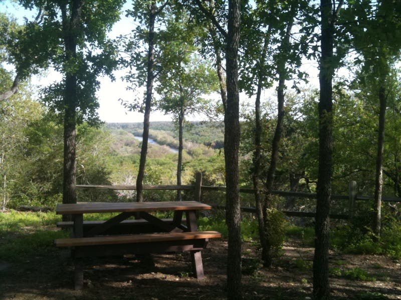
This rolling lollipop loop begins at the Hyatt Regency Lost Pines, 20 miles east of Austin. Start by descending the steps just south of the hotel’s main lawn and bearing right on the dirt path about halfway down the steps. Bear right again and follow the river as the trail passes below the golf course. About 0.6 miles from the resort, pass through a gate into McKinney Roughs Nature Park—grab a paper map at the trailhead—and bear right to begin this route’s 2.3-mile loop when the trail splits in a few hundred feet. The rolling loop links the Pecan Bottom and Buckeye trails on the mostly uphill first half, skirting the area’s largest pecan tree and climbing a few short steeps toward the high point almost 200 feet above the river. At mile 1.8, bear left for a 5-minute out-and-back detour to a shaded overlook above the river—a perfect picnic spot. The loop’s second half descends and cuts northeast on Coyote Road and then follows Deep Sandy along the river back toward loop end and the resort-bound trail.
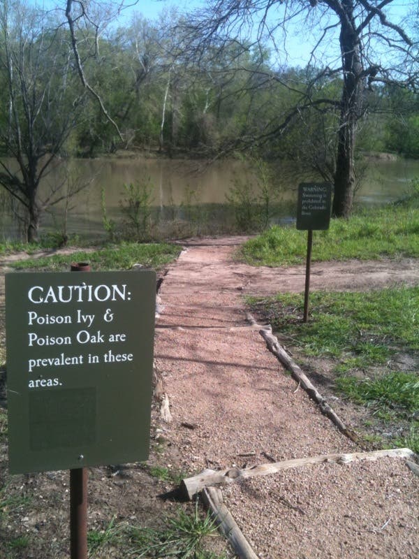
In addition to flyaway golf balls, this route skirts some areas laden with poison ivy—easy to avoid if you stick to the wide, well-marked path.
-Mapped by Kristy Holland

Trail Facts
- Distance: 6.2
Waypoints
MRL001
Location: 30.16447, -97.444283
From the main Lobby of the Hyatt Lost Pines, follow left leading sidewalks toward the river and head downhill-try not to get sidetracked by the pool and outdoor fire pits. You’ll turn down a set of cement steps and bear right where the well-worn dirt path leads off the pavement.
MRL002
Location: 30.16203, -97.445018
As you follow the river southwest, several maintenance trails lead uphill toward the golf course. Stay left (near the water) and watch out for getaway golf balls on this 0.5-mile stretch.
MRL003
Location: 30.15632, -97.450249
Less than 100 yards from the gated trailhead, turn right at this T-junction onto the Pecan Bottom trail to begin the 2.3-mile loop. The first quarter mile is pretty flat, look for armadillos, ants and dozens of bird species as you wind along the shaded trail. Stay straight at the 3-way junction up ahead, bypassing the Coyote Road trail which branches left.
MRL004
Location: 30.155601, -97.453864
The trail turns uphill more dramatically after this second left-leading junction. Stay straight on the trail as it begins climbing. Unless it’s damp, expect easy going on the wide dirt path. If it’s damp, it might be slick, especially in a few steep corners before a small picnic-area turnout at mile 1.5 and the junction with the Road Runner trail about 300 yards later.
MRL005
Location: 30.154122, -97.459245
Just after the loop’s apex, bear left onto a 250-yard spur trail to a scenic, Colorado River viewpoint. The 5-minute out-and-back lands at a couple of tables with a nice eastern view of the surrounding woods and a big bend in the river. Enjoy a snack or picnic before re-joining the loop heading downhill.
MRL006
Location: 30.15049, -97.456005
Before reaching the base of the hill, this route turns left on the Coyote Road trail. As you walk northeast you’ll approach the river again. Look right for occasional glimpses of the water through loosely-packed pecan trees.
MRL007
Location: 30.152206, -97.453794
Turn right at this 4-way junction. Though all these trail re-connect near loop-end, the left-leading Deep Sandy trail sticks closest to the river and closes the loop without any additional backtracking.
Lawn
Location: 30.1645, -97.444
The hotel lawn, just behind the main lobby, is where this hike begins. Walk down the well-manicured lawn toward the river.
Danger
Location: 30.163, -97.444833
Stay on the trail to avoid encountering poison ivy and listen and look for flyaway golfballs as you skirt the resort’s 18-hole course.
Trailhead
Location: 30.15633, -97.449417
The nature park’s boundary is marked by this gate and map kiosk abutting the resort property.
Colorado River
Location: 30.154293, -97.456874
The view from the hilltop detour at the top of the loop.
Trail
Location: 30.1505, -97.456
The entire trail is wide, open and easy to follow. There are several junctions, but signage and paper maps available at the trailhead also help with navigation.
Hills
Location: 30.155958, -97.458338
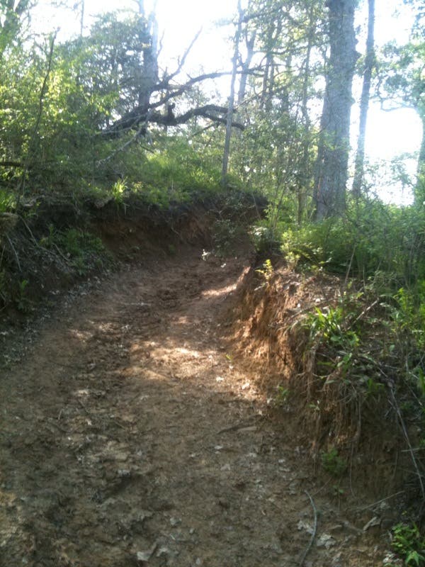
The north side of the loop has a few steep, short hills. If it’s rained recently, expect them to be a little slick.
Pecan Bottom
Location: 30.15632, -97.450249
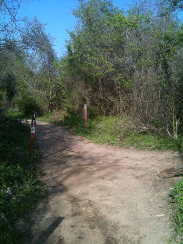
This is the view of the T-junction where the loop began. At the end of your hike, you’ll turn right here.