Austin, TX: Inks Lake State Park

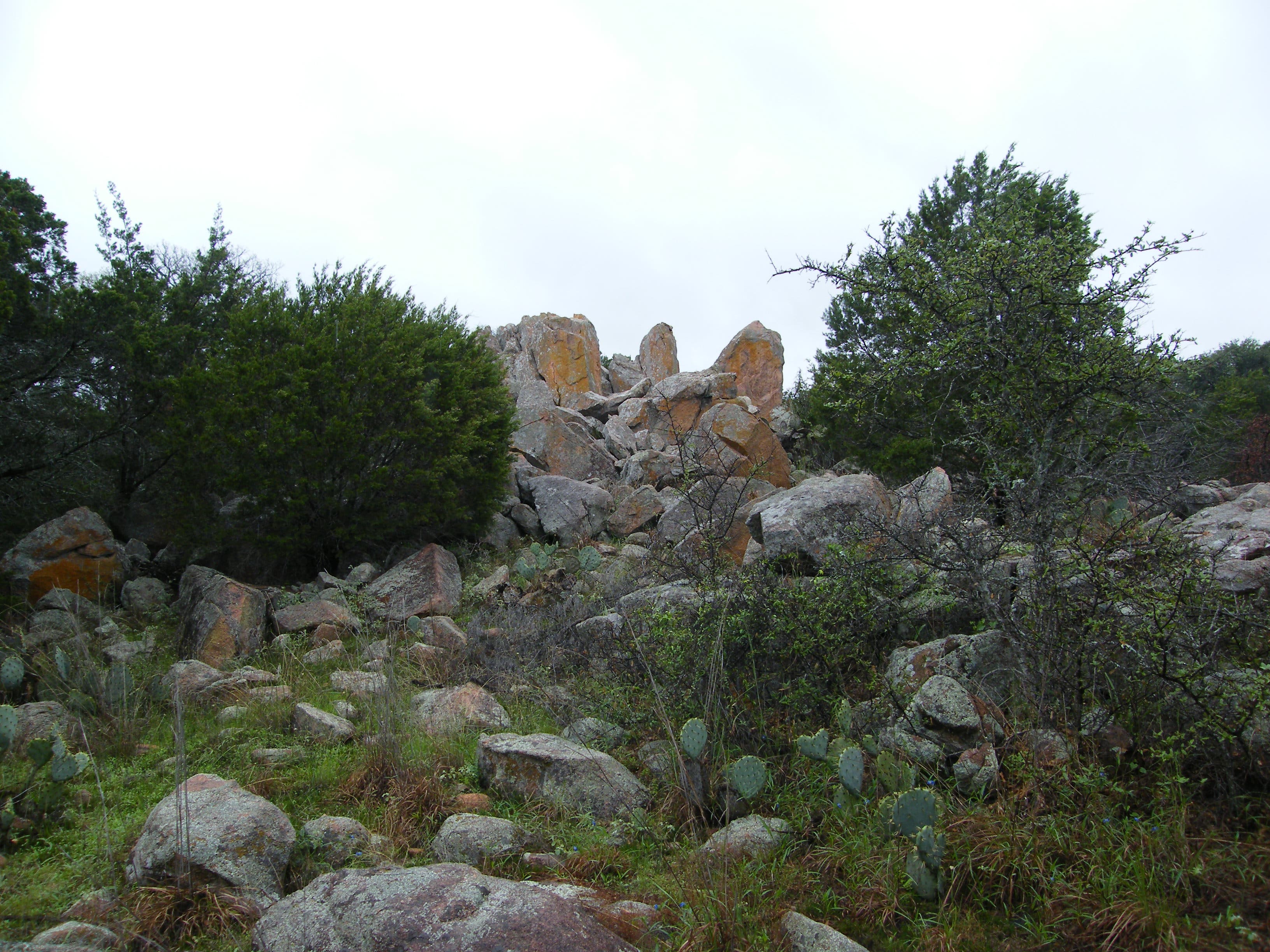
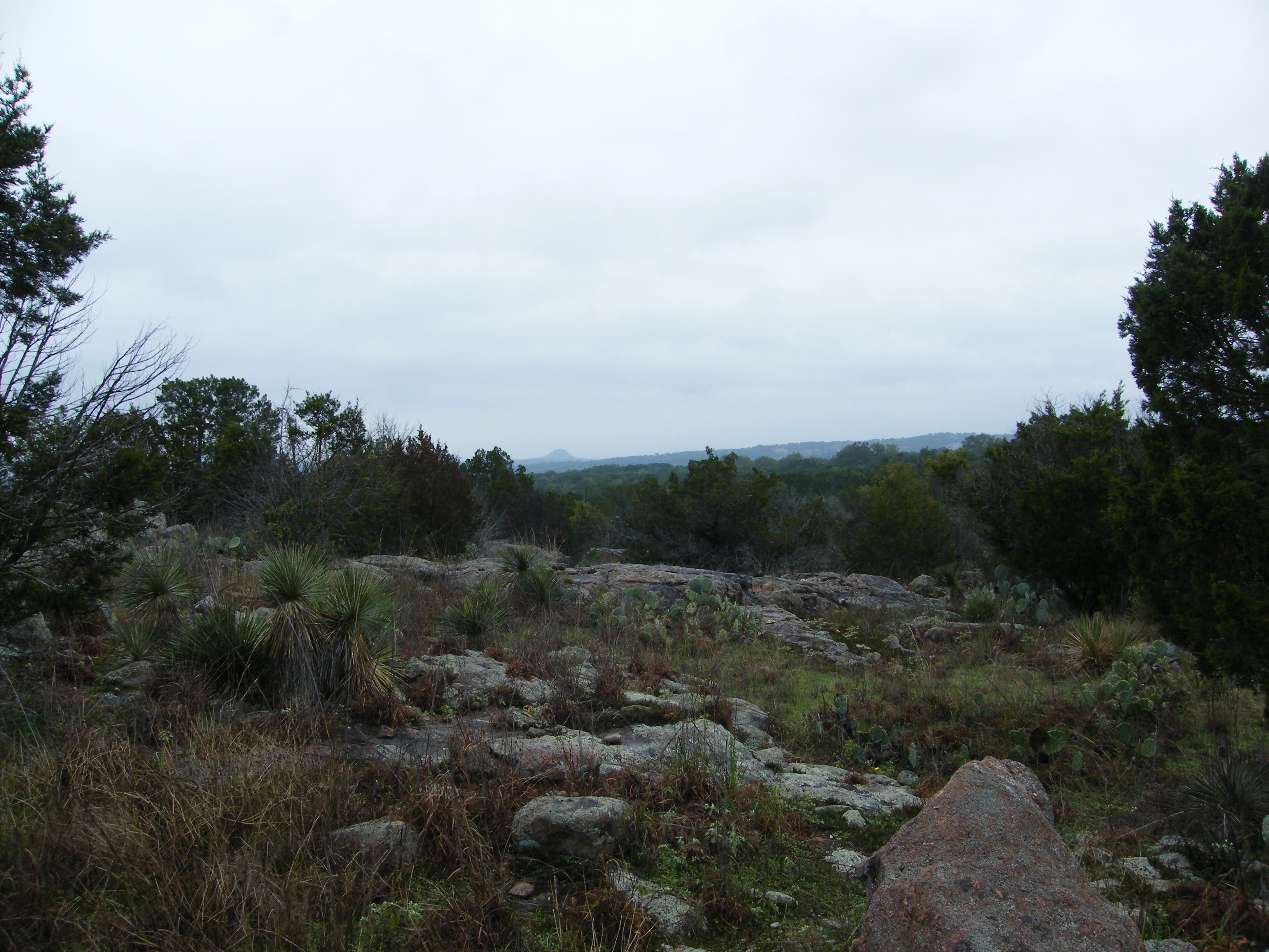
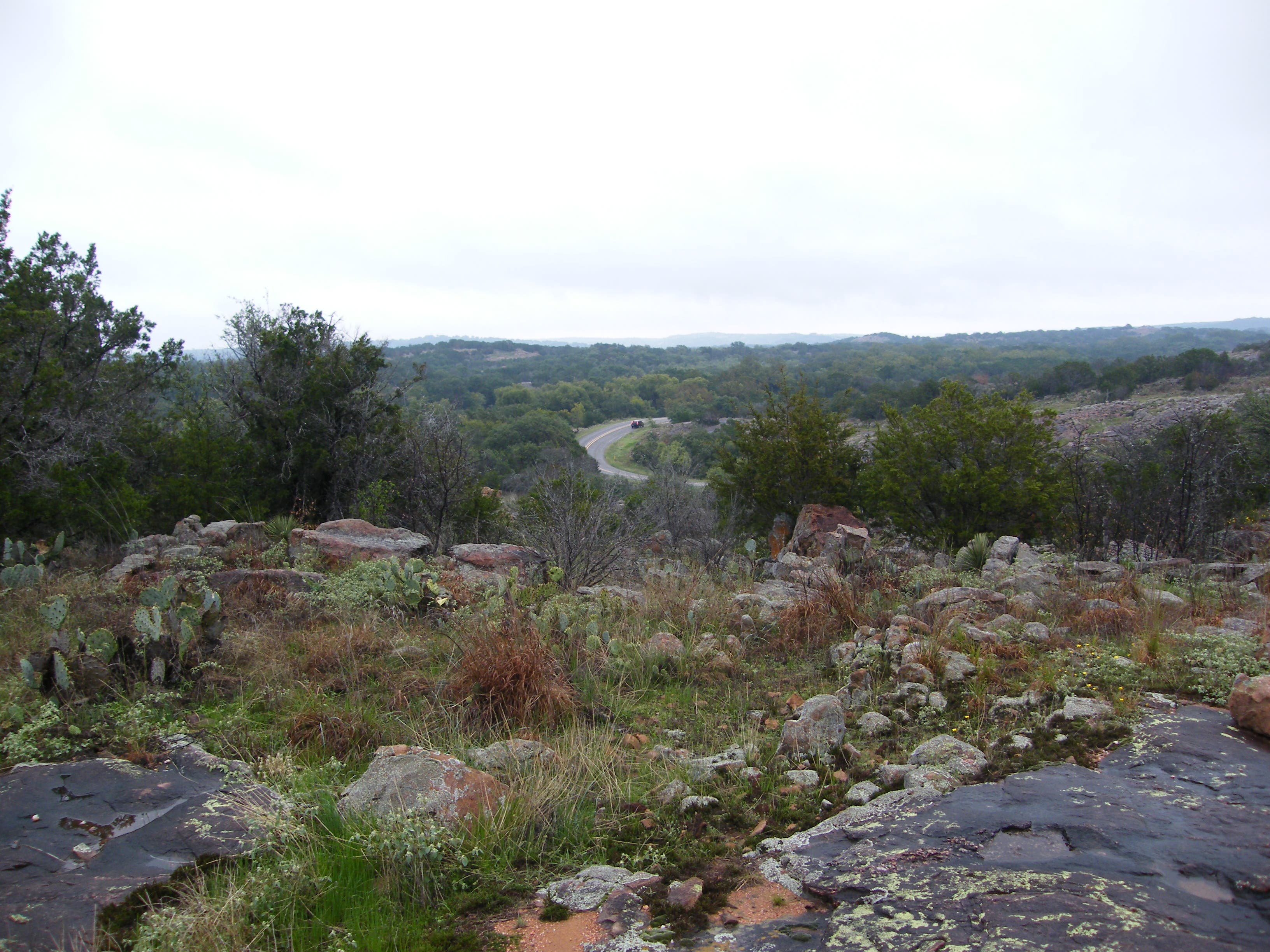
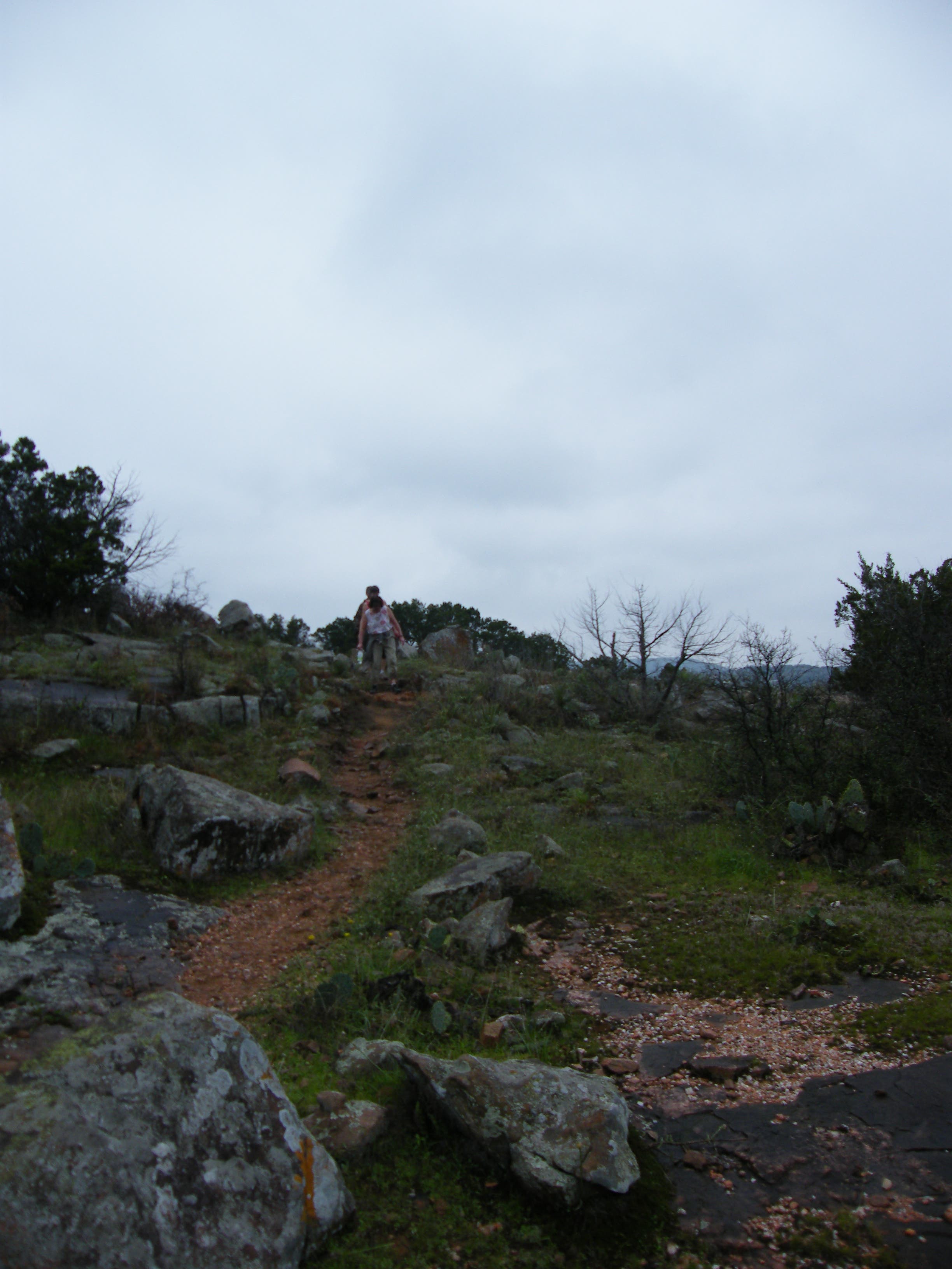
This lollipop loop begins near park headquarters and winds south, tracing the southeast edge of Inks Lake, before starting a 4.2-mile clockwise loop. The wide, easy trail wanders toward the Pecan Flats area—look for the shady trees that are native to the area—and through the park’s backcountry campground. You’ll pass a primitive restroom facility at mile 1 and begin looping west alongside a granite ridge. The trail narrows and gets more rugged (look for the quartz that covers the ground in places). You’ll bypass several right-hand trails that shortcut segments of the loop, but this route stays left, alternating between shade and open areas with stunning Hill Country views around every corner. The trail crosses several drainages, follows a dirt road briefly, and crosses swaths of granite as cruises cedar and oak woods.
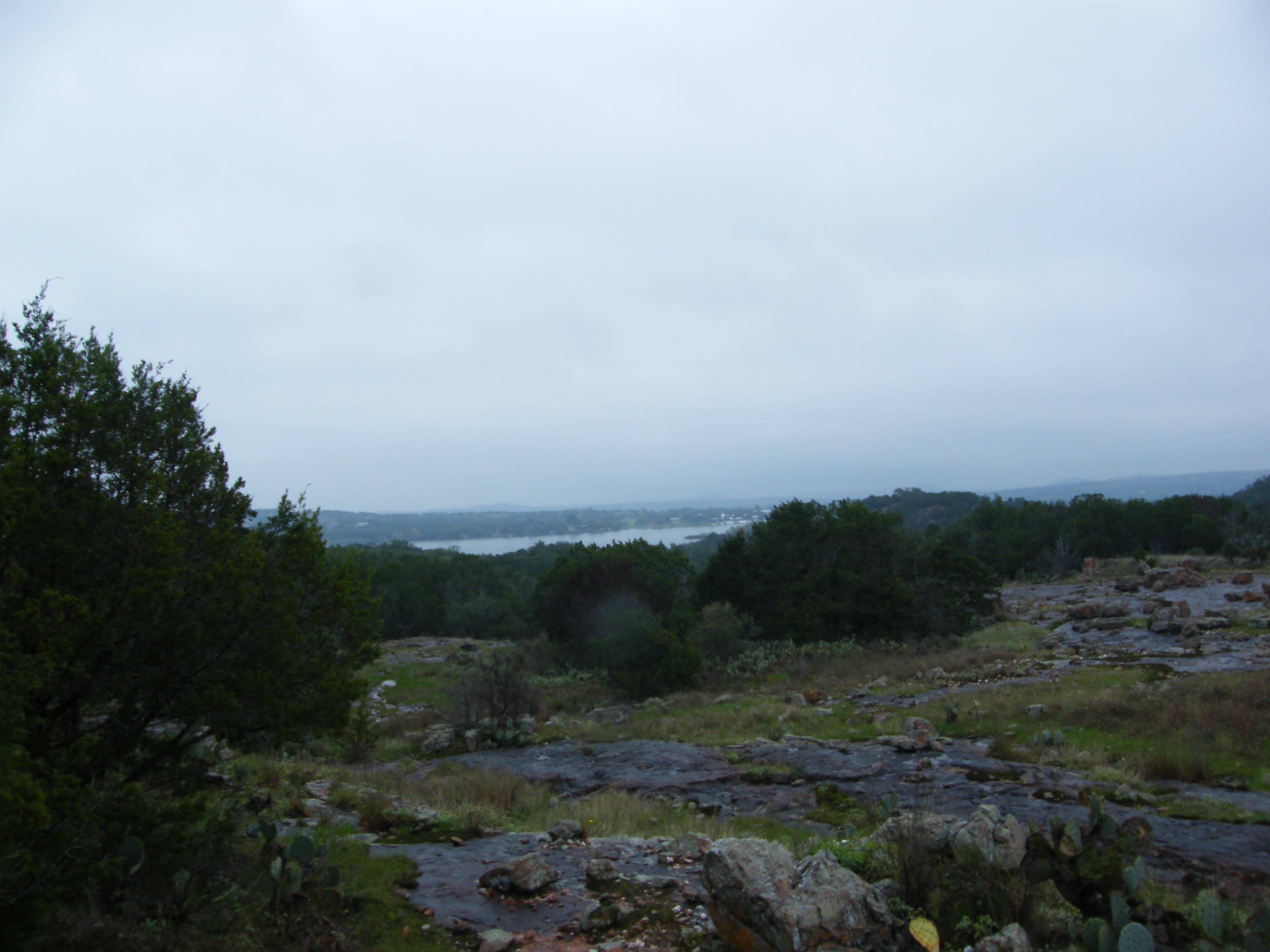
After passing under a large powerline, pause for nice views of Inks Lake before rounding the loop’s northwest corner and turning left to cross the park road. This route turns right at the T-junction with the green-marked loop and offers more nice lake views before dipping toward its shore and closing the loop. Backtrack just 0.3 mile to the parking lot.
-Mapped by Melissa Gaskill
Trail Facts
- Distance: 7.8
Waypoints
INK001
Location: 30.736939, -98.370134
The trail begins on the farthest west side of the headquarters parking area. You’ll dip toward the lake shore before crossing the park road.
INK002
Location: 30.733278, -98.367569
Turn left at this 3-way junction onto the yellow-marked trail and begin a 4.2-mile loop. Less than 200 yards from here, you’ll cross the park road.
INK003
Location: 30.734165, -98.362285
Stay straight at this junction to continue into the Pecan Flats area. You’ll pass several spur trails as you cruise past the primitive campsites. This right-hand spur reconnects with the main loop trail up ahead, bypassing the primitive camping area and shaving a few tenths of a mile from this loop.
INK004
Location: 30.733896, -98.358192
Just before mile 1, and at the loop’s easternmost point, there is a composting toilet. You’ll pass a few more spur trails as you begin rolling south.
INK005
Location: 30.730272, -98.359802
Though you shouldn’t expect to see water in this drainage unless it has recently rained, look for water-hungry species among the cacti and shrubs.
INK006
Location: 30.728926, -98.363525
Stay left at this 3-way junction at mile 1.6, just past the route’s high point. You’ll continue on the red-marked trail and connect with the blue-marked trail up ahead.
INK007
Location: 30.725282, -98.364125
Just after dipping into the wash, the trail connects with an old road.
INK008
Location: 30.725328, -98.368042
At this junction between the red and blue trails, bear left. The trail on the right leads to park headquarters and shaves about 2 miles from this route.
INK009
Location: 30.722113, -98.372459
After cruising behind a rocky hilltop near mile 2.6, you’ll cross under some powerlines connecting the Roy Inks Dam power plant to nearby towns. You’ll pass beneath them again 0.6 mile from here as you’re looping back toward the trailhead. The next 1.3 miles roll through granite-peppered Hill Country, and you’ll catch a glimpse of the lake before descending toward the park road.
INK010
Location: 30.727486, -98.371196
Turn left to cross the road and join the green-marked loop heading east.
INK011
Location: 30.728925, -98.370767
Bear right and merge onto the southeast side of the green-marked trail. A rocky section precedes the dip toward the lake.
INK012
Location: 30.730622, -98.369737
Bypass the spur on the left. Up ahead, you’ll cross a wooden footbridge before closing the loop and backtracking 0.3 mile north to the trailhead.
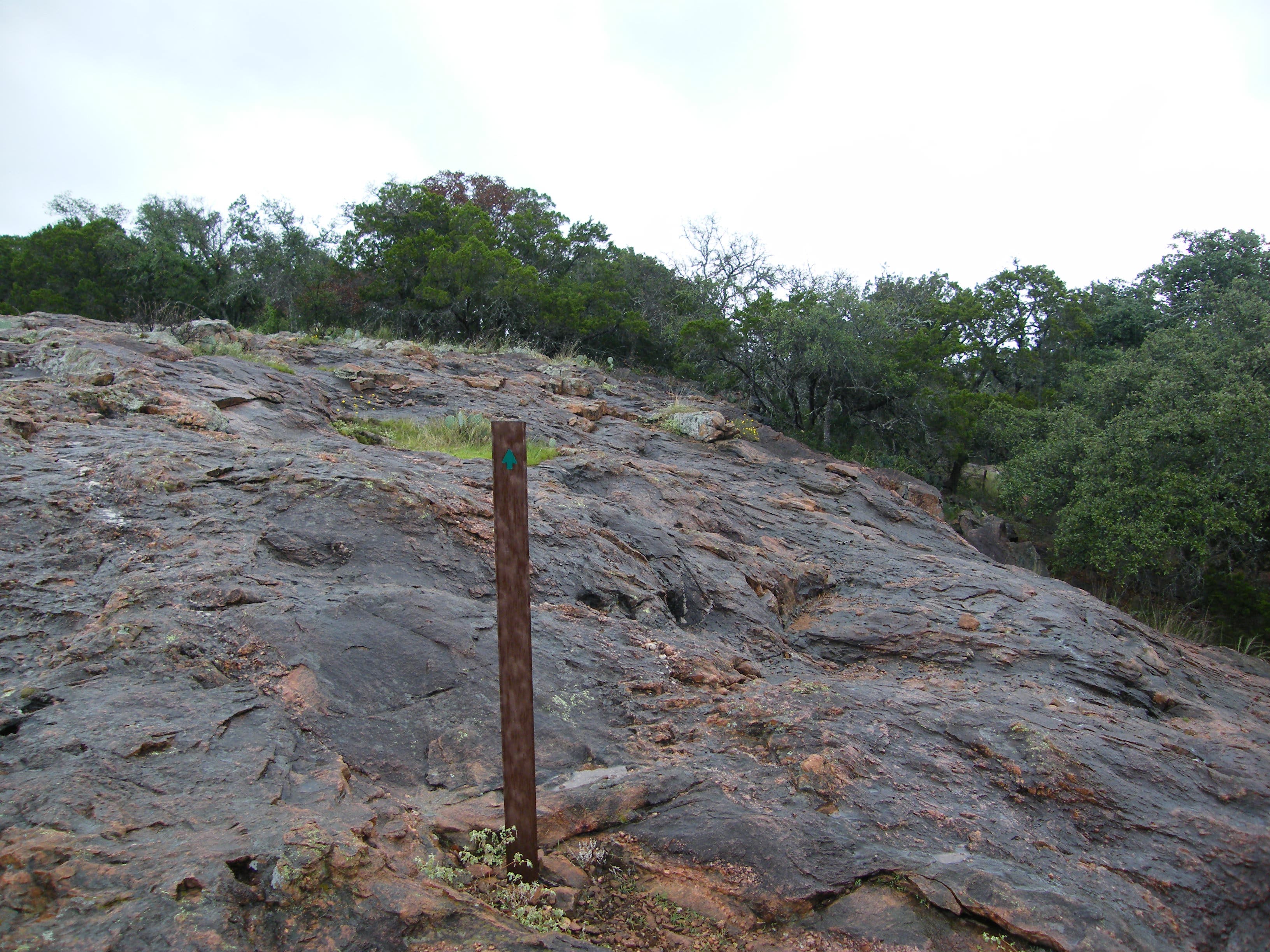
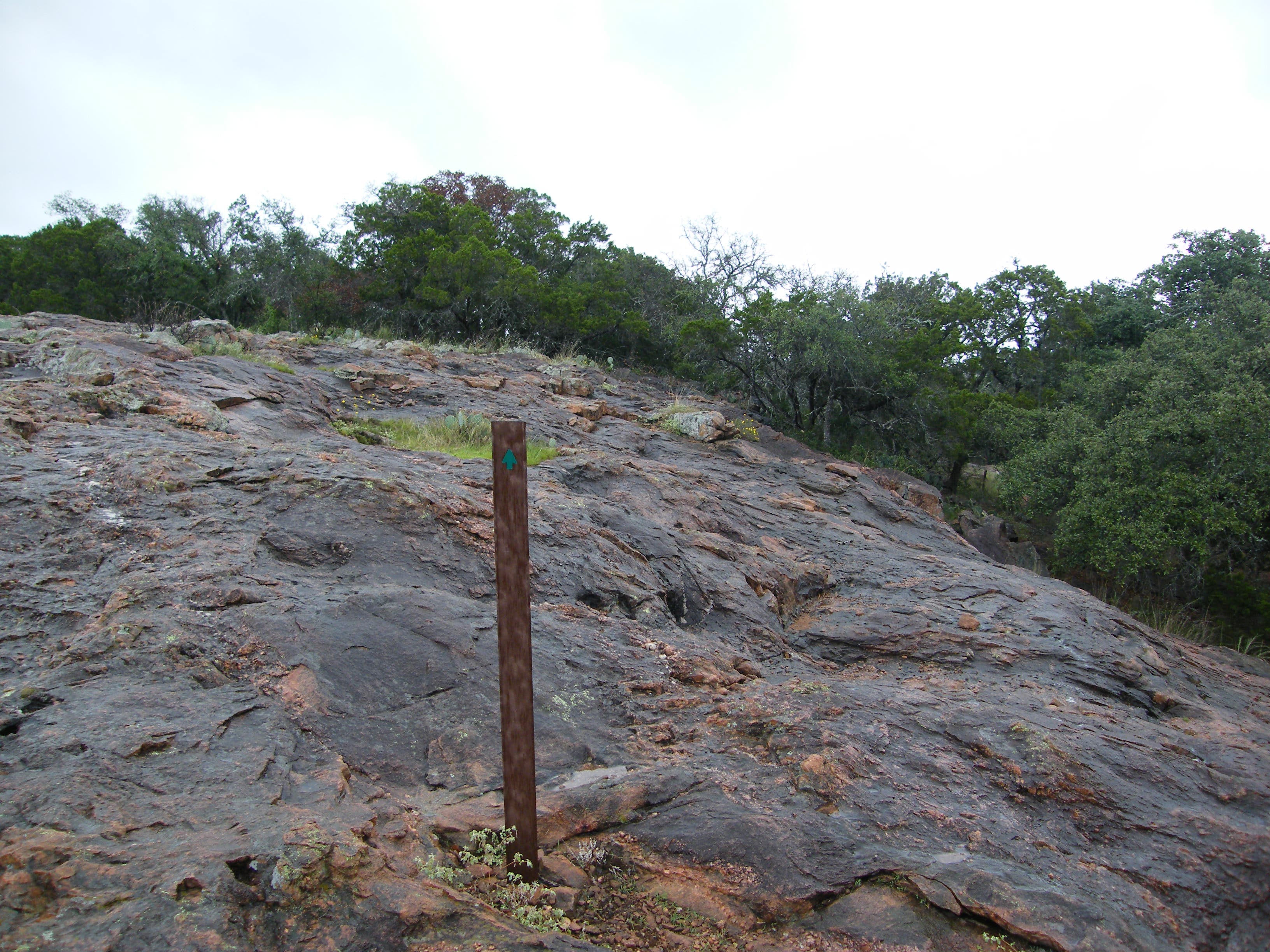
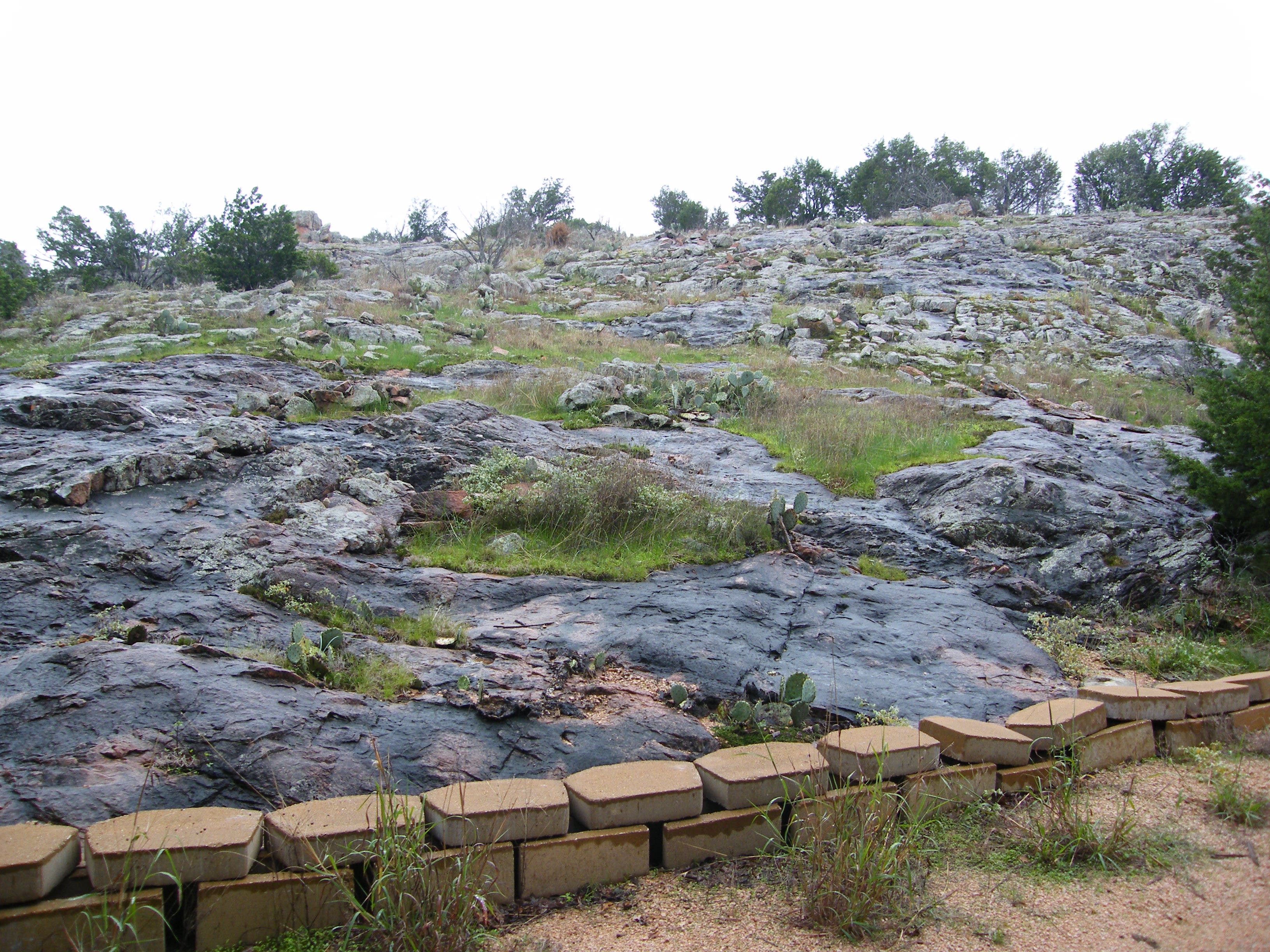
Granite
Location: 30.73432, -98.369694
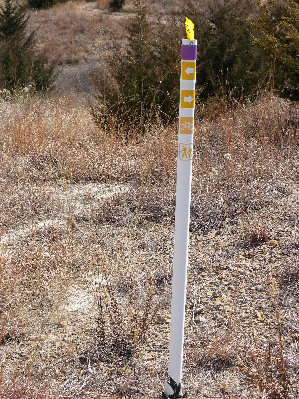
The trail crosses granite surfaces regularly. In some places, posts like this will lead the way.
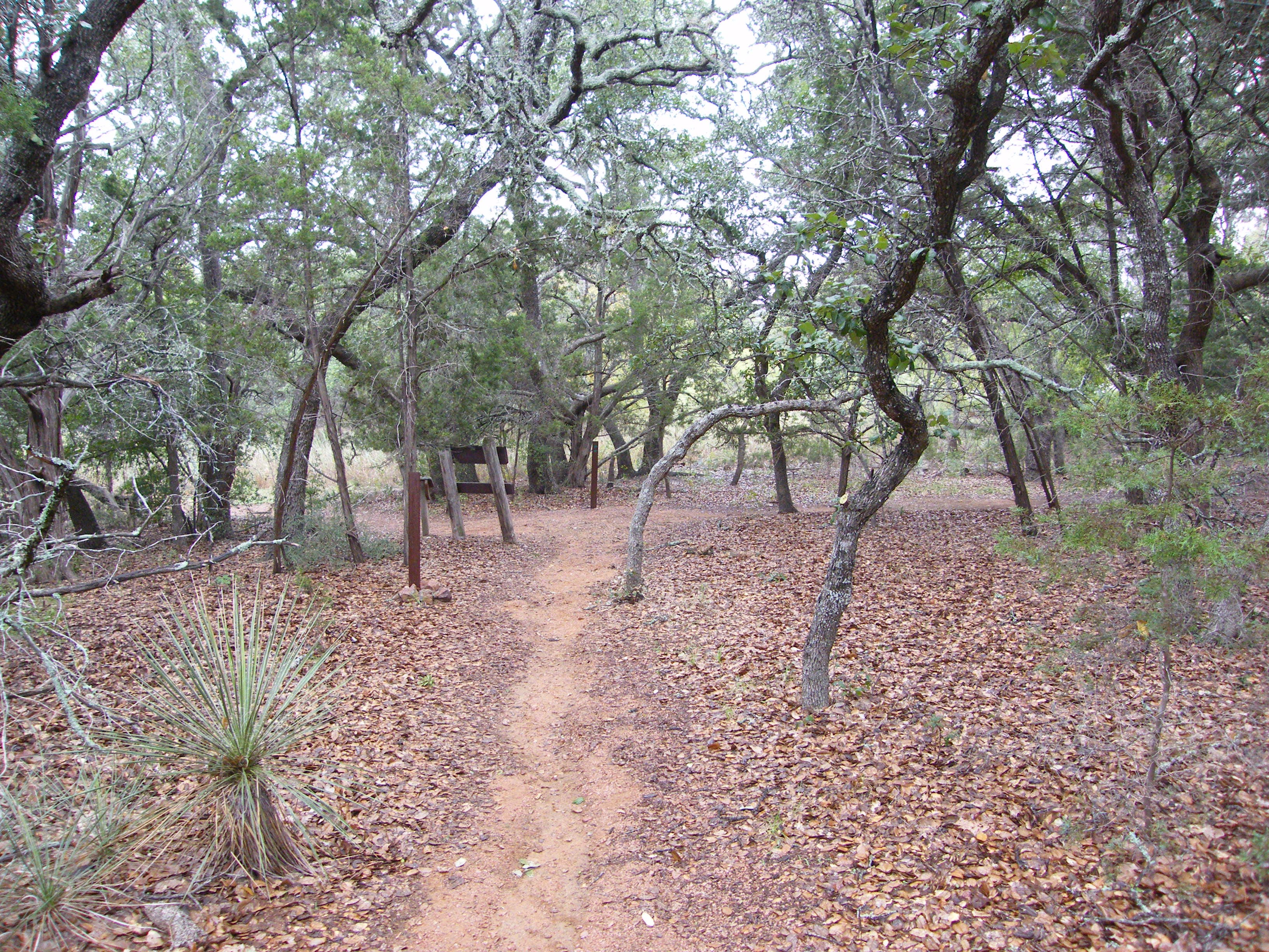
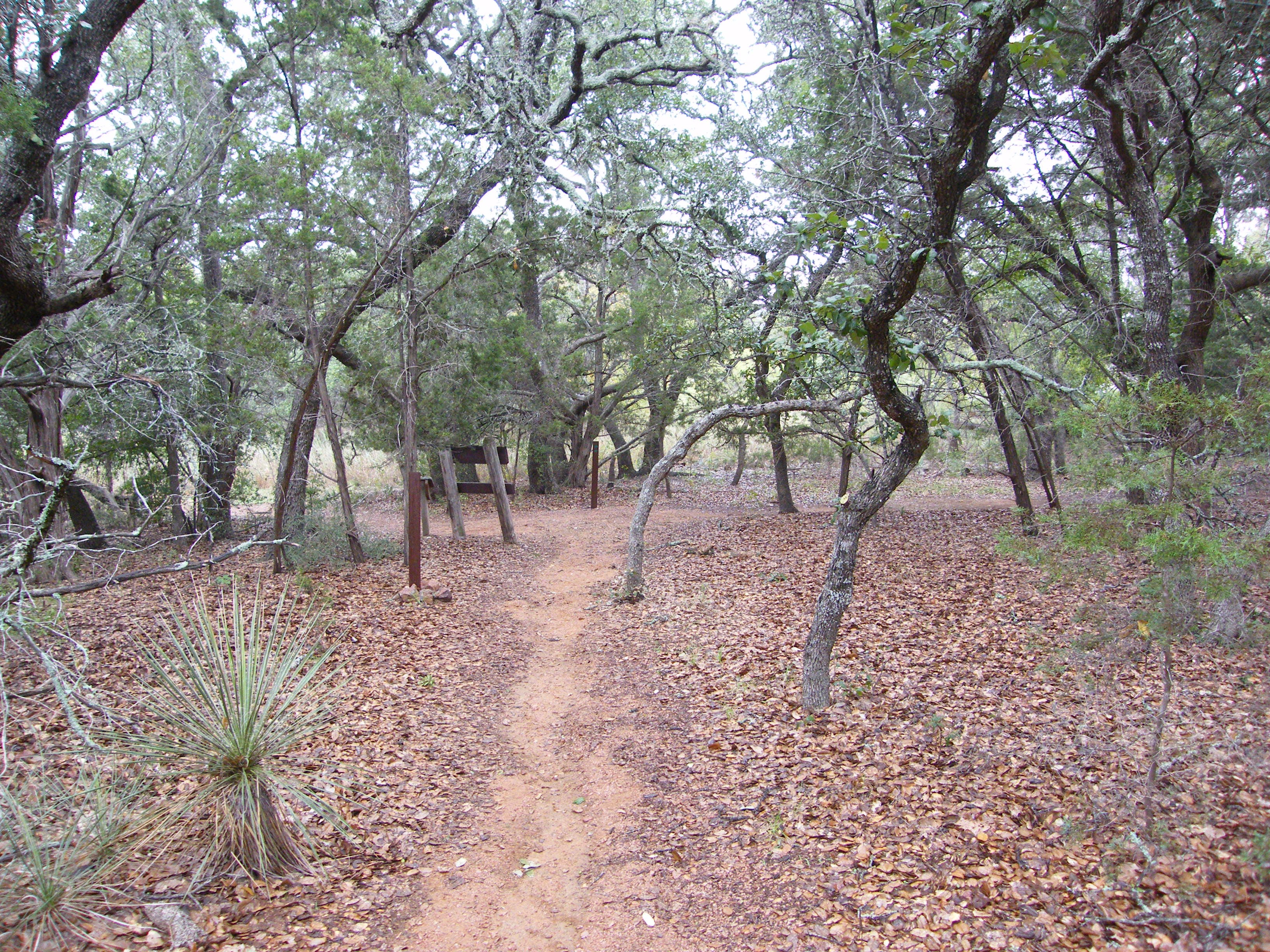
Woods
Location: 30.733776, -98.365091
After crossing the park road, the trail cruises a wooded area heading east.
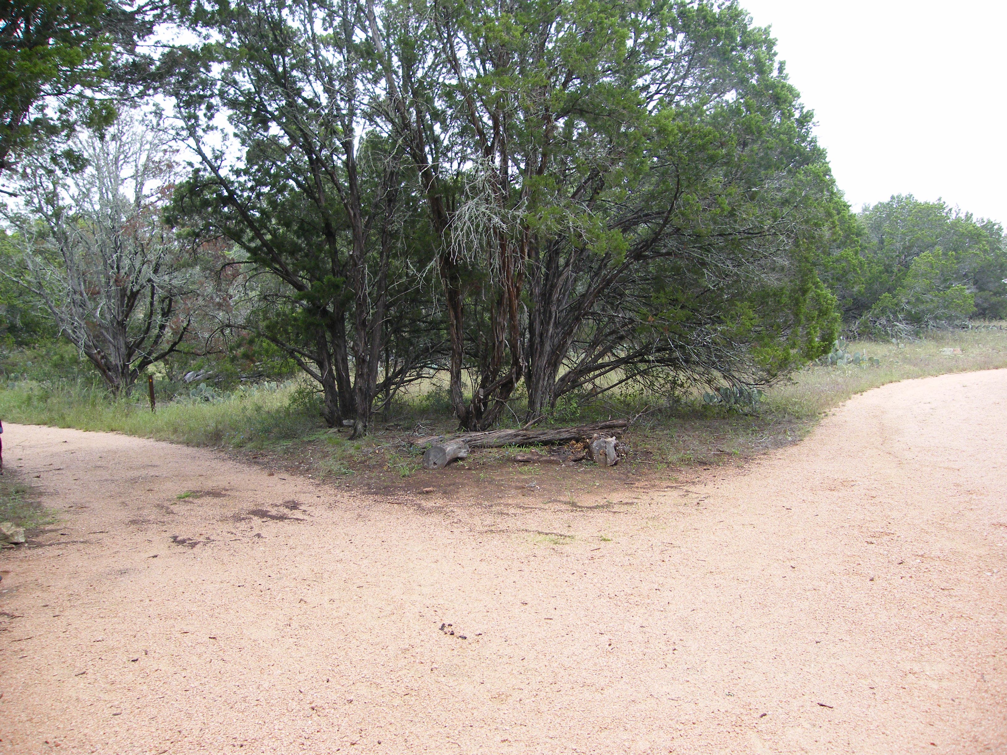
Fork in the road
Location: 30.734182, -98.362108
The left fork continues the yellow loop, the right is a red shortcut to the other side.
Granite garden
Location: 30.733628, -98.358557
Look for this granite garden interspersed with cacti, grass and flowers. It’s just past the campground and composting toilet.
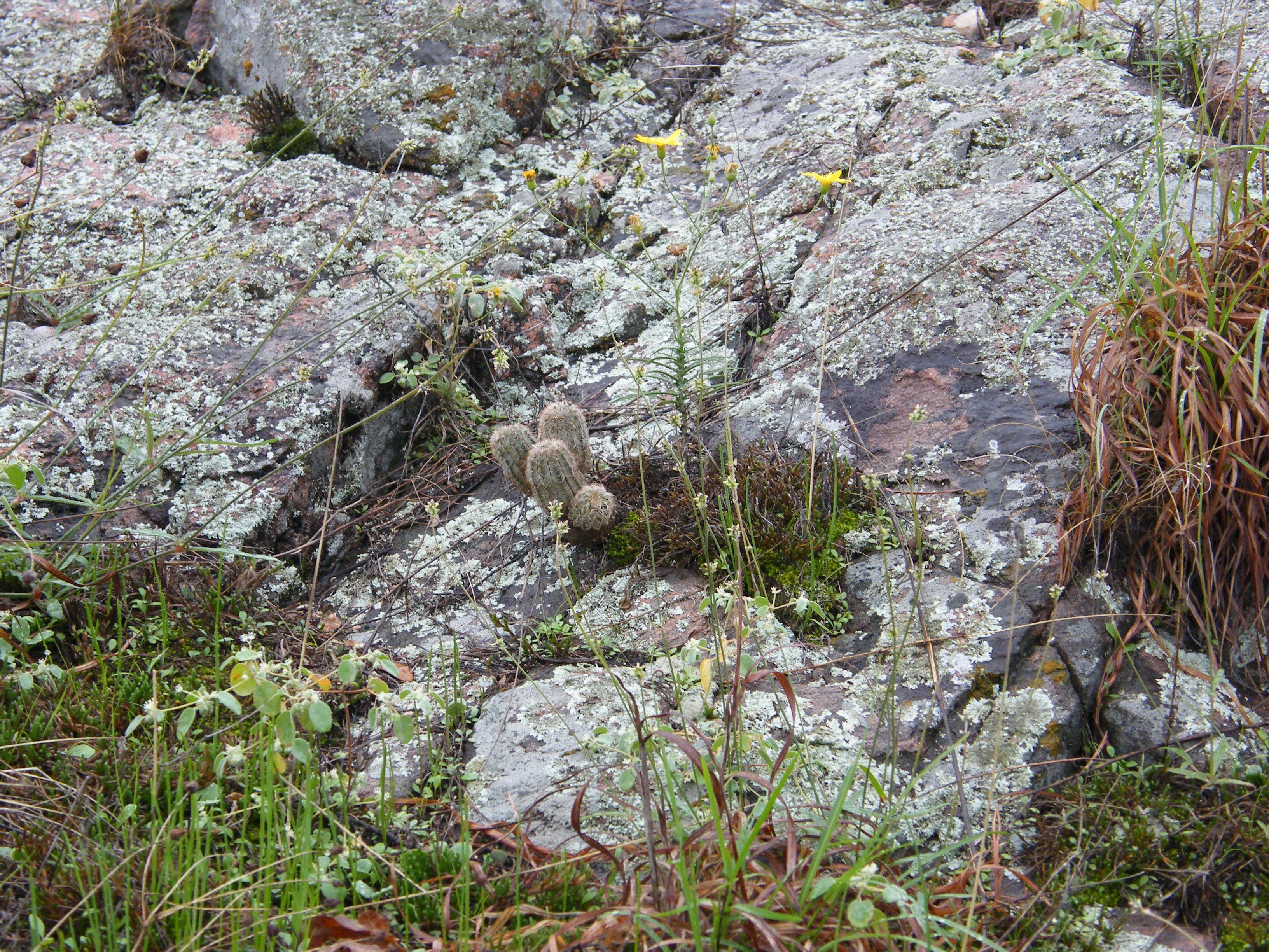
Cactus
Location: 30.733665, -98.35977
Look closely for tiny cacti like this one growing among the rocks.
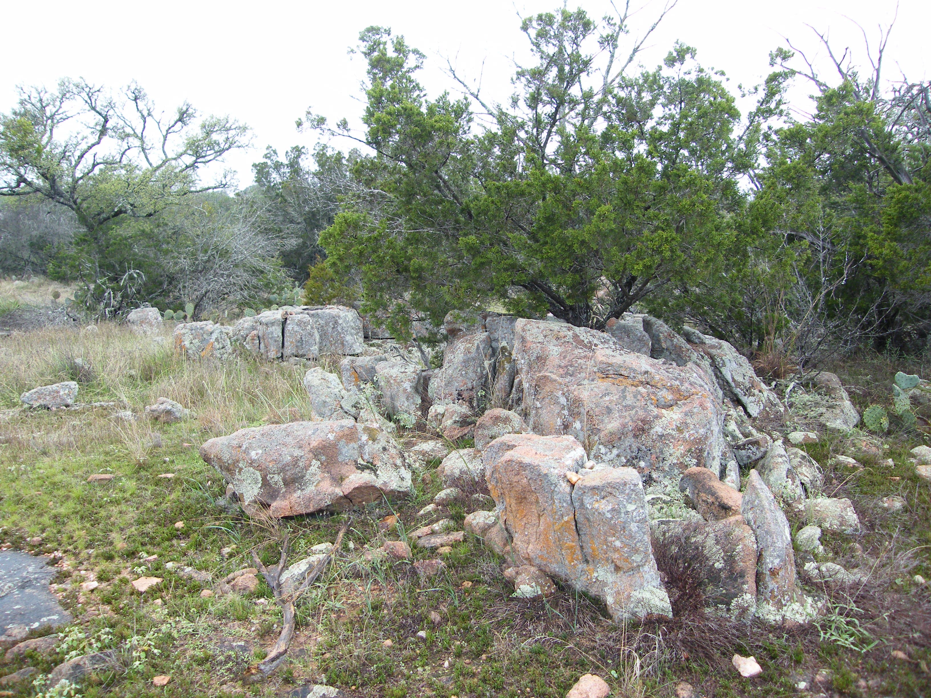
Tree in Rock
Location: 30.733416, -98.360081
You’ll pass lots of well-established rock gardens.
Rock Garden
Location: 30.732402, -98.360553
Vista
Location: 30.730272, -98.359641
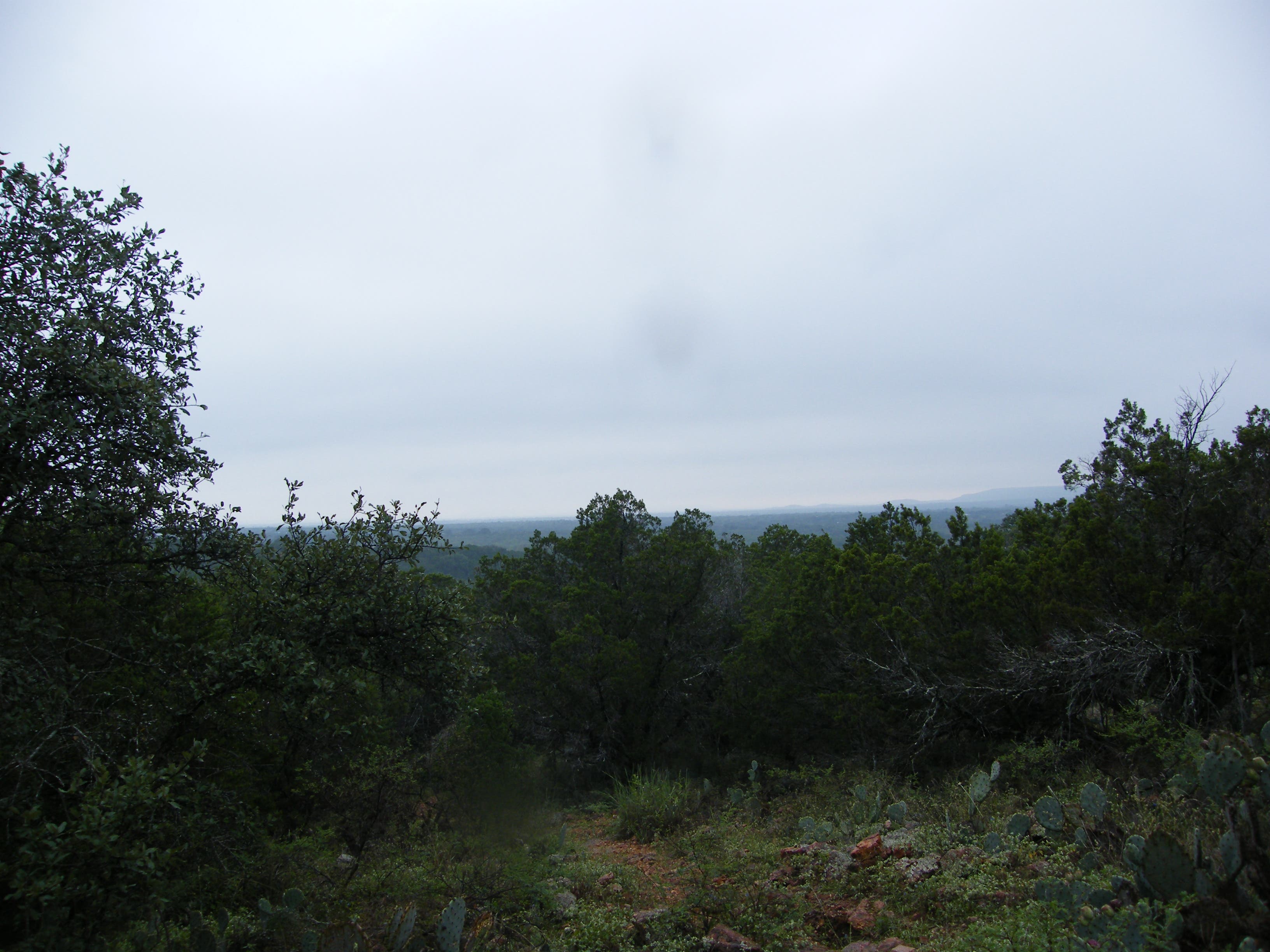
Negrohead Hill towers 300 feet above the surrounding countryside, but it’s about 3.5 miles north of this vista.
Painted Rocks
Location: 30.728529, -98.363836
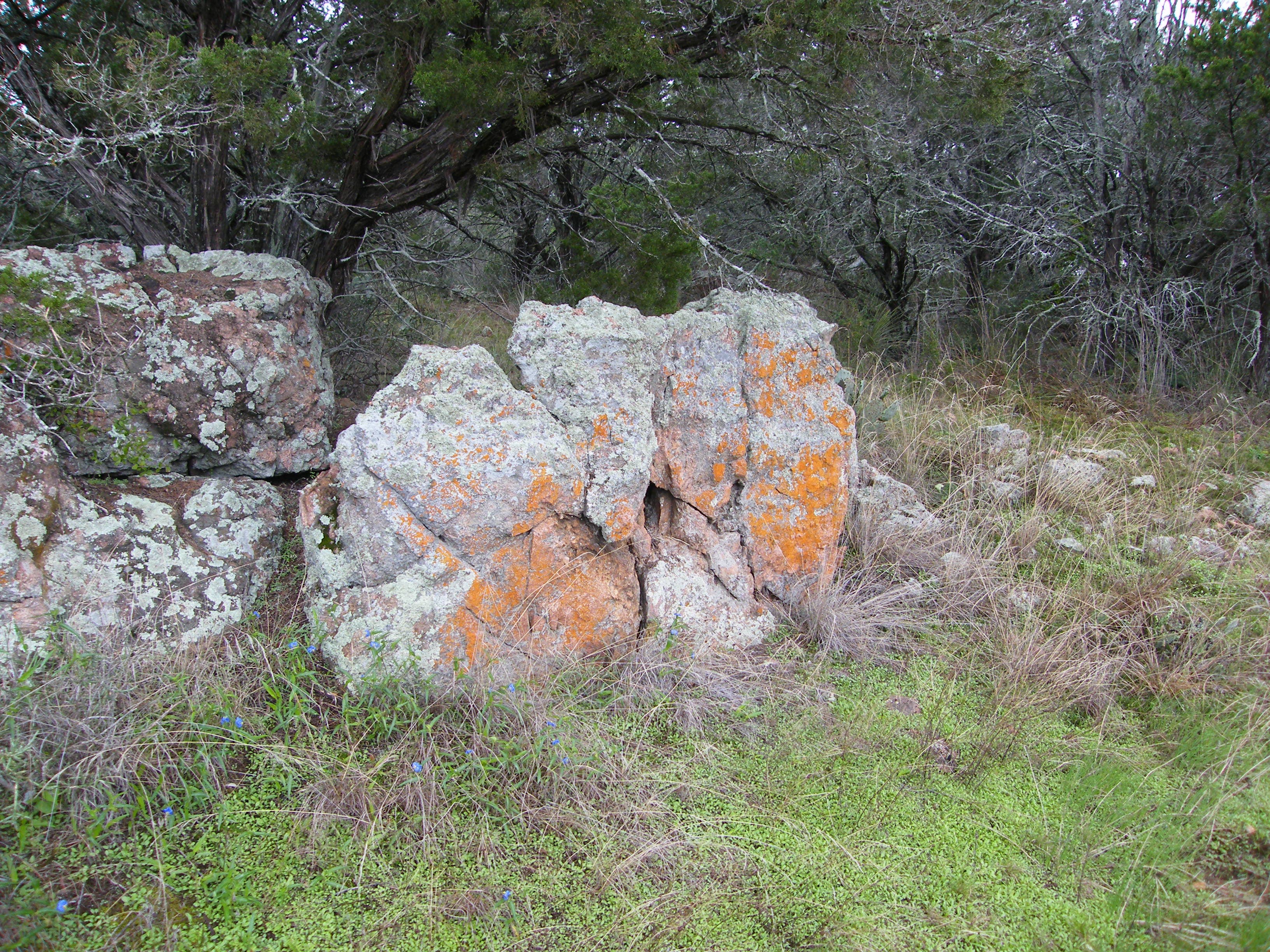
Lichen and moss often paint the granite rocks in vivid colors.
Trail Markers
Location: 30.725319, -98.367891
Well-marked and color coded, the trails in this system are easy to follow.
Hill Country Vista
Location: 30.724351, -98.378813
Inks Lake
Location: 30.726675, -98.376045
Toward the end of the loop you’ll approach (and see more of) the lake.
Road
Location: 30.729276, -98.369694
Green Loop
Location: 30.731065, -98.369823