Austin: Enchanted Rock


Trail Facts
- Distance: 10.4
Waypoints
East LoopTrail
Location: 30.5148372650146, -98.812385559082
©Lorraine Pace
AER001
Location: 30.4964904785156, -98.8249206542969
Follow Outer Loop Trail (dirt track) through metal gates W of parking lot. In .2 mi., R @ Y up rise along wide gravel trail
AER002
Location: 30.5036792755127, -98.8323364257812
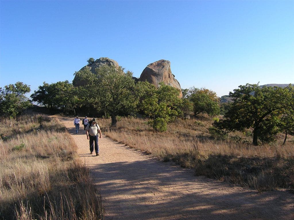
Photo op: Pass giant pink-granite monoliths, each bigger than a school bus. In .2 mi., turn R @ Y
AER003
Location: 30.509464263916, -98.8269271850586
L @ Y
AER004
Location: 30.5152454376221, -98.8129425048828
Trail winds SSE. In .4 mi., trail passes Buzzards Roost and giant slabs that tumbled from the cliff face
AER005
Location: 30.5079288482666, -98.8086395263672
Cross golden bottom of Sandy Creek. Trail swings R, following creek SSW; purple bluebells decorate banks in summer
AER006
Location: 30.5019416809082, -98.8139572143555
R @ T onto Turkey Pass Trail, passing covered shelter. L @ Y in .2 mi. Option: R @ Y leads .1 mi. to Freshman Mtn., a dome with excellent views of neighboring granite formations
AER007
Location: 30.5097408294678, -98.8148727416992
L @ Y
AER008
Location: 30.5048904418945, -98.8215713500976
Continue SSE through Echo Canyon, a mixed bag of fractured rock, scrub oak, and cactus. Scramble up Enchanted Rock ahead to L for amazing 360-degree views. Fact: Vernal pools on top support delicate fairy shrimp (think sea monkeys)
AER009
Location: 30.498197555542, -98.8191375732422
R onto road @ looped parking area, following .4 mi. back to trailhead