Published September 20, 2013 03:31PM
Atlanta: Yellow Mountain Trail
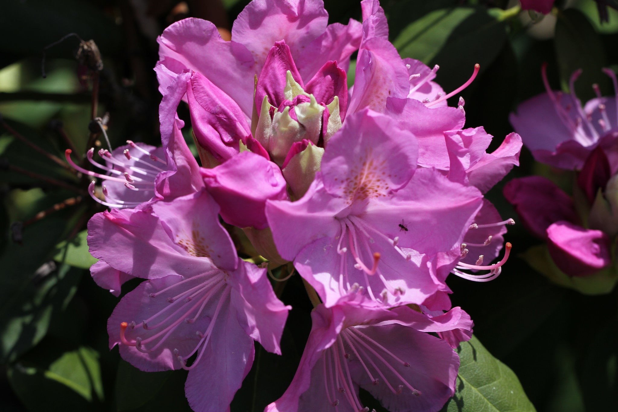
Discover solitude again on this quiet, mostly forested 6.4-mile trek up a wrinkled Appalachian mountain to a delightful babbling brook. Bring tree ID book.
'Jim, the Photographer'
Trail Facts
- Distance: 5.1
Waypoints
YMT001
Location: 34.758861541748, -84.0661392211914
Cross bridge; hike down Forest Service road
YMT002
Location: 34.7603034973144, -84.0673141479492
Turn R onto Yellow Mountain Trail
YMT003
Location: 34.7653770446777, -84.0541763305664
Continue straight, traveling E
YMT004
Location: 34.7690925598144, -84.0498428344726
Trail climbs to Yellow Mountain summit (2,963 ft.); good S and SW views
YMT005
Location: 34.7684440612793, -84.0469131469726
Continue straight; sharp descent to Addie Gap
YMT006
Location: 34.765796661377, -84.0354080200195
Cross Bryant Creek on wood bridge
YMT007
Location: 34.7630729675293, -84.0339431762695
Stay straight @ 4-way
YMT008
Location: 34.7635383605957, -84.0335159301758
Trail ends @ Bryant Creek Rd. (FR 33A); backtrack toward trailhead
YMT009
Location: 34.7669563293457, -84.0454025268555
Great spot for a classic Appalachian sunset or scenic lunch; return to trailhead