Published September 20, 2013 03:30PM
Atlanta: Tesnatee Gap
Traverse a dramatic high ridge via 5 miles of the Appalachian Trail, ending at thru-hiker hangout Walasi-Yi Center.
'Mikel Manitius'
Trail Facts
- Distance: 8.7
Waypoints
TGT001
Location: 34.7258415222168, -83.8477325439453
Ascend trail to W, following white blazes
TGT002
Location: 34.7215766906738, -83.8563613891602
Rock outcrop with expansive view of Wildcat Ridge and valley
TGT003
Location: 34.723217010498, -83.8601989746094
Clearing with impressive views to SW
TGT004
Location: 34.7252807617188, -83.8628768920898
Small side trail R to tucked-away campsite
TGT005
Location: 34.7263221740723, -83.8660583496094
Cross Baggs Creek Gap (3,591 ft.), campsite on L
TGT006
Location: 34.7251434326172, -83.8744812011719
Short side trail L to rock face with views of distant ridges
TGT007
Location: 34.7252006530762, -83.8746643066406
Cross Wolf Laurel Top
TGT009
Location: 34.7324676513672, -83.907585144043
Bull Gap; large, open area is best campsite in Neels Gap area
TGT010
Location: 34.7352409362793, -83.9175338745117
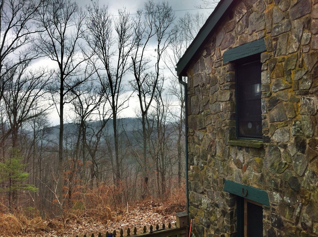
Neels Gap. Trail passes through breezeway @ Walasi-Yi Center (shuttle service back to car, 706-745-6095).
TGT008
Location: 34.7306137084961, -83.8984146118164
Cross rocky area @ crest of Levelland Mountain (3,942 ft.), highest point on hike