Atlanta: Stone Mountain

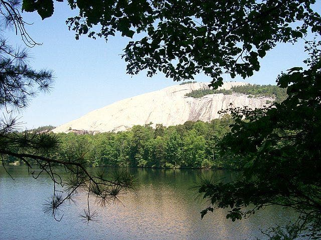
Stone Mountain isn’t the highest peak in the East, but its prominence and isolation make it feel that way. You’ll nab peerless views of the rolling green Piedmont, see a 200-foot waterfall, and have a chance to fish what locals call the state’s finest trout streams. Watch rock climbers on the mountain’s slabby south face as you loop around and up to the summit of this granite dome.
DO IT The 4.5-mile Stone Mountain Loop begins at the upper trailhead on the west side of Stone Mountain State Park and quickly descends 300 stairs from the top of 200-foot Stone Mountain Falls. Walk through the grassy meadow below the steep south face with more than 30 technical rock routes that line the granite wall, and look for some of the giant granite blocks that have exfoliated off the wall over the years. From the meadow, it’s a stout 700-foot climb in .6 mile to the summit through stands of pine and oak. Be wary of how far you wander down the rock slab from the summit—it steepens down slope and is treacherous when wet. Minimal mileage leaves plenty of time for fishing the park’s 17 miles of brown, rainbow, and brookie-laden streams. Pack your fly rod and a selection of nymphs and dry flies to cast into Big Sandy Creek.
-Text by Brendan Leonard; Mapped by Terah Shelton
GUIDEBOOK Hiking North Carolina: A Guide to Nearly 500 of North Carolina’s Greatest Hiking Trails, by Randy Johnson ($20, falcon.com)
MAP USGS quad Glade Valley
CONTACT (336) 957-8185; ncparks.gov
EAT
Metro Cafe Diner
1905 Rockbridge Rd
Stone Mountain, GA
(770) 879-0101
metrocafediner.com
DRINK
Summits Wayside Tavern
3334 Stone Mountain Hwy
Stone Mountain, GA
(770) 736-1333
summits-online.com
GEAR
Half-Moon Outfitters
1034 N Highland Ave NE Atlanta, GA 30306
(404) 249-7921
halfmoonoutfitters.com
Trail Facts
- Distance: 10.0
- Miles from city center: 20
Waypoints
SML001
Location: 33.807835, -84.167648
Go E from park & ride to 5th; turn L, then R onto E. Mountain St. Go through entrance and parking lot @ Stone Mtn. Park
SML002
Location: 33.811131, -84.161583
From trailhead, go E toward Confederate Hall & RR station on Walk-Up Trail (marked with yellow line). Caution: May be slippery
SML003
Location: 33.809971, -84.157013
L @ 4-way onto red-blazed Cherokee Trail to reach forest views. Trail seems to end, then curves R before RR tracks
SML004
Location: 33.812149, -84.156021
R @ T (still Cherokee Trail). Pierce thick forest on well-worn trail
SML005
Location: 33.81041, -84.146111
Stay R along minor detour @ Adventure Golf; then turn L in clearing and cross RR tracks. Open area serves up views of Summit Skyride cable car and Confederate Memorial
SML006
Location: 33.808971, -84.140167
Head R @ road continuing with Cherokee Trail
SML007
Location: 33.808029, -84.136627
Cross road, bear L along wall. Take walkway around grist mill, turn L
SML008
Location: 33.803551, -84.133583
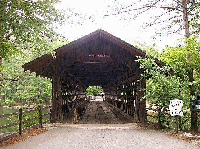
Cross road near covered bridge before continuing along shores of Stone Mtn. Lake. Look for turtles sunbathing on tree trunks
SML009
Location: 33.797668, -84.139198
R @ Y on connecting trail along edge of Venable Lake. Peek @ Stone Mtn. through a canopy of dogwood and Georgia oak
SML010
Location: 33.79805, -84.15094
Cross road; rejoin Cherokee Trail between dam and lake. In .3 mi., cross road again, ascend along S flank of Stone Mtn.
SML011
Location: 33.806862, -84.156647
Continue N back to Walk-Up Trail and turn R; head E past WPT 3 on Walk-Up Trail for rocky scramble to summit (yellow lines)
SML012
Location: 33.806049, -84.146004
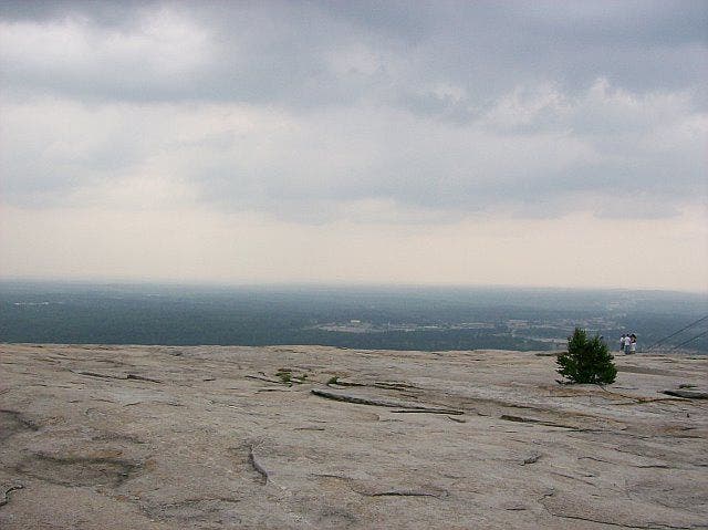
Stone Mtn. (1,683 ft.); see hazy Atlanta skyline, Kennesaw Mtn., distant Appalachians. Return 1.5 mi. to bus stop
Top of the Mountain
Location: 33.806145, -84.145859
Metro Atlanta and the southern Appalachian chain poke through the haze on top of Stone Mountain’s bald, granite summit. ©Terah Shelton
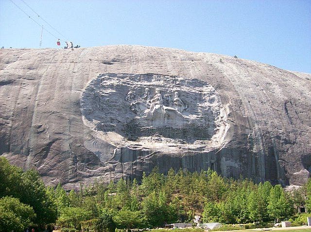
Confederate Memorial
Location: 33.81044, -84.145966
The largest high-relief sculpture in the world, the Confederate Memorial Carving, depicts three Confederate heroes of the Civil War, President Jefferson Davis and Generals Robert E. Lee and Thomas J. “Stonewall” Jackson. The entire carved surface measures three-acres, larger than a football field. The carving of the three men towers 400 feet above the ground, measures 90 by 190 feet, and is recessed 42 feet into the mountain. ©Terah Shelton
Covered bridge
Location: 33.810623, -84.162064
©Terah Shelton
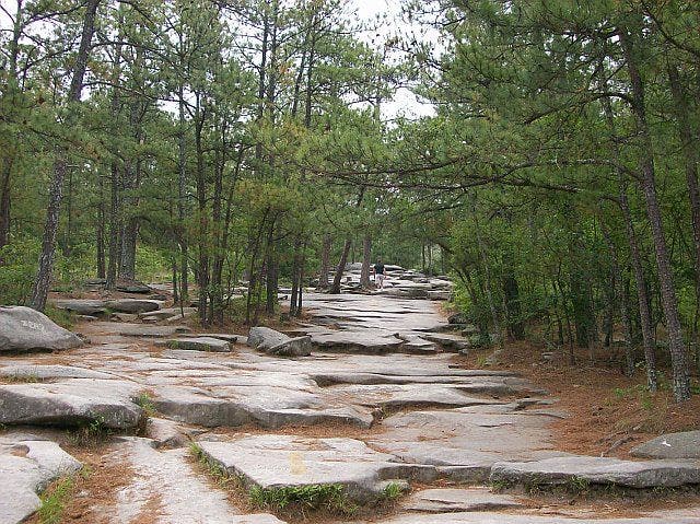
Stony path
Location: 33.81057, -84.160355
©Terah Shelton
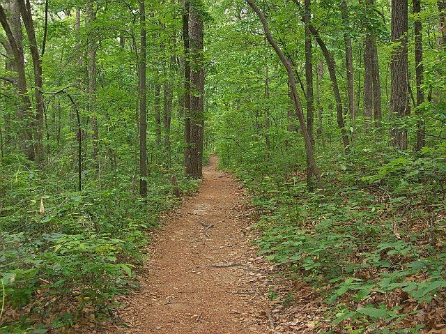
Wooded trail
Location: 33.811207, -84.156517
©Terah Shelton
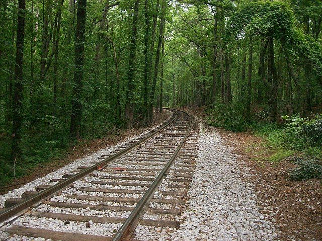
Railroad bed
Location: 33.807957, -84.138824
©Terah Shelton
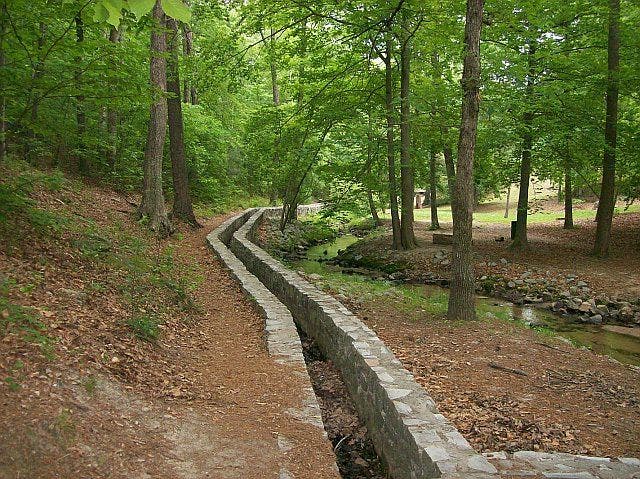
Water ditch
Location: 33.808331, -84.137283
©Terah Shelton
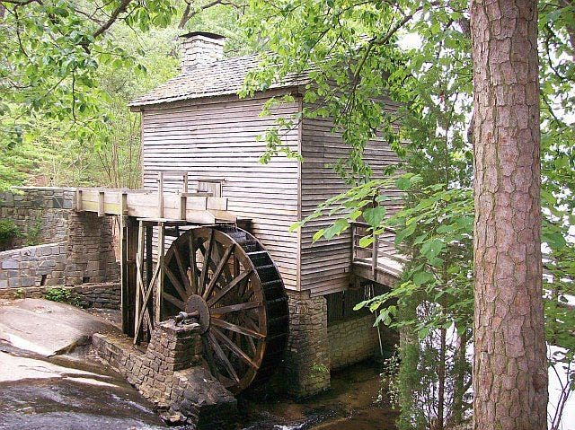
Old Grist Mill
Location: 33.803802, -84.133606
©Terah Shelton
Mountain view over lake
Location: 33.797459, -84.139732
©Terah Shelton