Atlanta, GA: Kennesaw Mountain

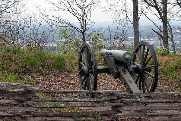
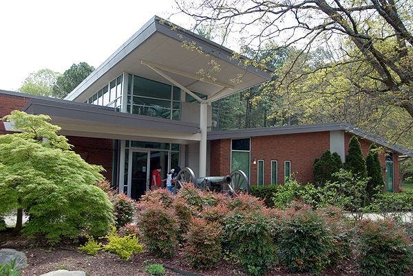
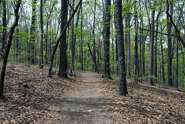
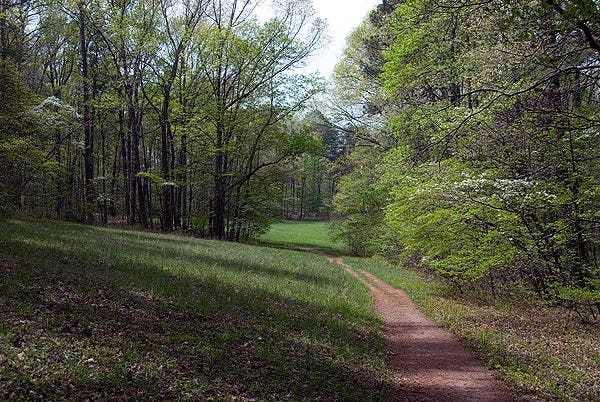
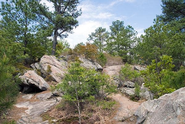
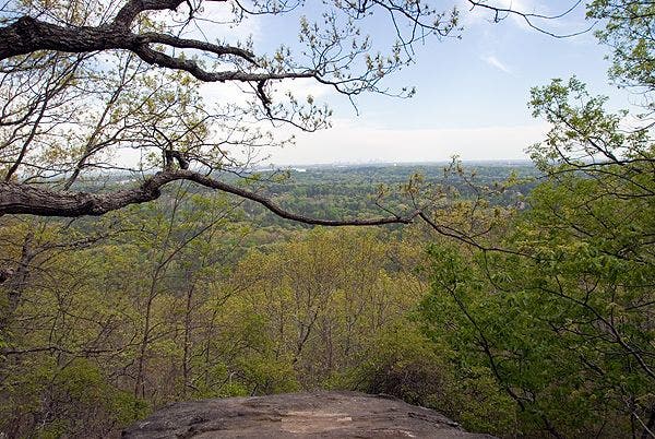
Starting from a cannon at the visitor center, this 15.8-mile, figure-eight loop tours the rolling terrain of Kennesaw Mountain National Battlefield Park. Traveling along a wide gravel and dirt path, this route wanders in and out of hickory and oak forest, tours grassy meadows and marsh areas, and offers occasional views of Atlanta in the distance. Those looking for shorter routes have an option mid-way through to cut off the southern loop for a 7-mile roundtrip that includes the climb up Kennesaw Mountain. The only significant ascent of the day—the route up Pigeon Hill, Little Kennesaw, and Kennesaw Mountain—affords hikers with far off views of Atlanta proper and an opportunity to tour Civil War era rifle and cannon pits. From the summit area, it’s a short walk down to the visitor center and parking lot.
Note: Pack water. There may be opportunities to refill water bottles (during the non-freezing months) at the visitor center, Burnt Hickory Road (at the south end of the hike), and near Kolb Farm next to a bamboo thicket.
Info: Kennesaw Mountain National Battlefield Park
-Mapped by Scott Sanders, GroundedGraphics.com
Trail Facts
- Distance: 25.4
- Miles from city center: 24
Waypoints
KEN001
Location: 33.9826645, -84.5778501
Start hiking from the visitor center at the cannon. Head uphill toward the mountain, and turn left onto the gravel and dirt path near the trail sign and water fountain.
KEN002
Location: 33.98305, -84.5765931
Heading east from the visitor center, the dirt trail runs alongside a grass field across the road from the Georgia historical marker.
KEN003
Location: 33.9799444, -84.5709518
Turn left @ 3-way intersection.
KEN004
Location: 33.978661, -84.5701468
Turn right @ 3-way intersection.
KEN005
Location: 33.9769051, -84.5706114
Turn left @ 3-way intersection.
KEN006
Location: 33.975347, -84.5700919
Turn left @ 3-way intersection. Ahead, the trail passes by an abandoned Civilian Conservation Corps building foundation.
KEN007
Location: 33.9663451, -84.5849293
Turn left @ 3-way intersection.
KEN008
Location: 33.9647541, -84.5860919
Turn left @ 3-way intersection.
KEN009
Location: 33.9622951, -84.5881345
Go straight across the paved road and merge onto the gravel and dirt path. If you want to cut the hike short, turn right on the road and rejoin the return route at Waypoint 32 (this would make for a 6.3-mile loop).
KEN010
Location: 33.9599948, -84.5927202
Turn left @ 3-way intersection.
KEN011
Location: 33.9575863, -84.5953783
Turn left @ 3-way intersection to continue toward the southern trail loop, or turn right here to loop back over Kennesaw Mountain toward the visitor center. Turning around here, the round-trip would be 7 miles. After completing the southern loop of the figure eight, the route returns through this waypoint.
KEN012
Location: 33.9533954, -84.5968219
Cross a wooden bridge over Noses Creek.
KEN013
Location: 33.9456111, -84.5971645
Cross the paved road (GA 120) and continue south on the gravel and dirt path.
KEN014
Location: 33.9439091, -84.5981848
Turn left @ 3-way intersection.
KEN015
Location: 33.9379312, -84.5976844
Bear left here to begin hiking the southern loop counter-clockwise. The route returns through this waypoint on the return trip.
KEN016
Location: 33.9349962, -84.598927
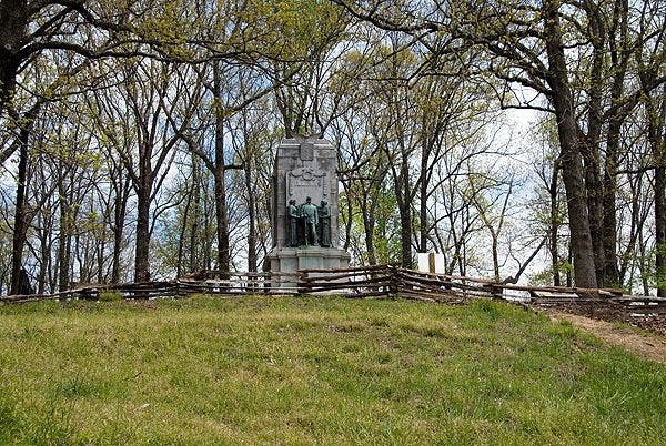
Continue straight @ 3-way intersection. The Illinois Monument is on the left. Ignore any side trails and follow the wide gravel path.
KEN017
Location: 33.9329077, -84.5975237
Turn right @ 3-way junction.
KEN018
Location: 33.9319782, -84.598789
Turn left@ 3-way junction.
KEN019
Location: 33.9308525, -84.6014044
Turn right @ 3-way junction heading towards Kolb Farm.
KEN020
Location: 33.931996, -84.6040353
Cross the paved road (Cheatham Hill Road), then bear left on the gravel path following signs for Kolb Farm.
KEN021
Location: 33.9210627, -84.607258
Turn left @ 3-way junction.
KEN022
Location: 33.9096863, -84.5992649
The trail passes a water fountain next to a bamboo thicket.
KEN023
Location: 33.9116861, -84.5970052
Cross the paved road (Cheatham Hill Road) and continue on the gravel and dirt path.
KEN024
Location: 33.913881, -84.5929149
Turn left @ 3-way junction.
KEN025
Location: 33.9187933, -84.5911947
Turn right @ 3-way junction.
KEN026
Location: 33.9258305, -84.5901826
Turn right @ 3-way junction.
KEN027
Location: 33.926349, -84.5909084
Turn left @ 3-way junction.
KEN028
Location: 33.9275984, -84.5912492
Turn right @ 3-way junction.
KEN029
Location: 33.934522, -84.5953586
Turn right @ 3-way junction. Follow signs towards Cheatham Hill and the visitor center.
KEN030
Location: 33.9372148, -84.5967857
Here, the gravel trail ends at a tear drop-shaped paved road. Go straight on the road for about 100 yards, re-enter the woods (to the left) and pick up the trail next to the cannon. Backtrack through Waypoint 15 to Waypoint 11 and turn left to approach Kennesaw Mountain on the return trip.
KEN031
Location: 33.9589859, -84.5951073
Turn right @ 3-way junction. Stay on the wide gravel path, ignoring any side trails.
KEN032
Location: 33.963211, -84.5935368
Pass a water faucet across the paved road and follow signs for Pigeon Hill Trail. From here, the trail begins its climb up to Pigeon Hill, Little Kennesaw, and Kennesaw Mountain.
KEN033
Location: 33.964682, -84.5918524
Turn left @ 3-way junction. Look for a sign pointing toward the visitor center. (A right at this point will take you to the East Trail and you can go around the mountain instead of over it.)
KEN034
Location: 33.966792, -84.5877666
Turn left @ 3-way junction.
KEN035
Location: 33.9754014, -84.5814693
Cross a paved road (Kennesaw Mountain Drive) and continue to the summit of Kennesaw Mountain. The steepest stretch of ascent is just ahead.
KEN036
Location: 33.9778053, -84.5776649
Take trail down the steps, around the parking lot, and re-enter the woods on the gravel trail (heading downhill toward the visitor center).
KEN037
Location: 33.981098, -84.5748395
Turn left @ 3-way junction off a wide gravel path onto a narrower dirt and gravel path toward the visitors center.
Cannon on Kennesaw
Location: 33.9762856, -84.5791698
Visitor Center
Location: 33.9829225, -84.5779788
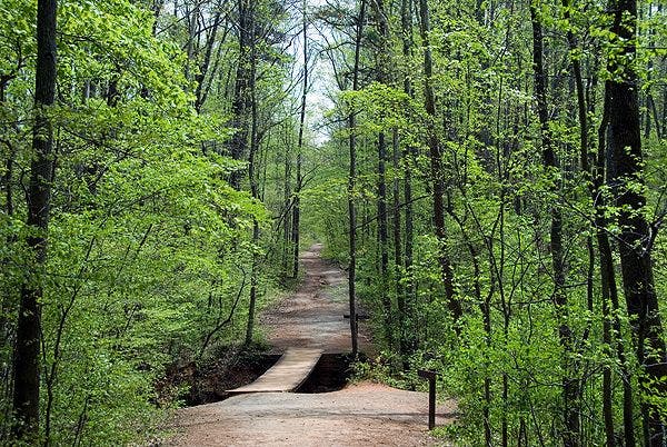
Typical Trail Conditions
Location: 33.9616575, -84.5883751
Entering a Grassy Meadow
Location: 33.9598711, -84.5928812
Noses Creek Crossing
Location: 33.9534147, -84.5967597
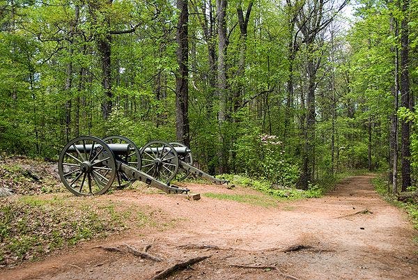
Cannons near Cheatham Hill
Location: 33.9379572, -84.5979452
Illinois Monument
Location: 33.934548, -84.598546
Grassy Meadow
Location: 33.941918, -84.5982027
Pigeon Hill Trail
Location: 33.9648698, -84.5913255
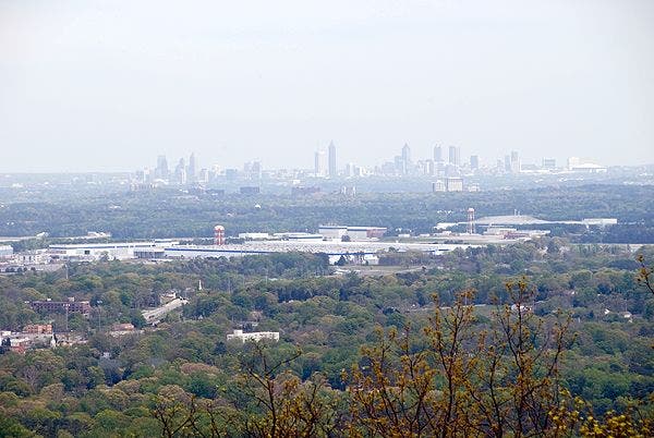
Atlanta View
Location: 33.9685536, -84.5875061
The climb up to Little Kennesaw Mountain offers distant views (through the haze) of downtown Atlanta.
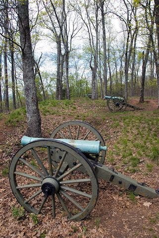
Summit Cannons
Location: 33.9705556, -84.5870876
Cannons on the summit of Little Kennesaw
View from Little Kennesaw
Location: 33.9722284, -84.5850921
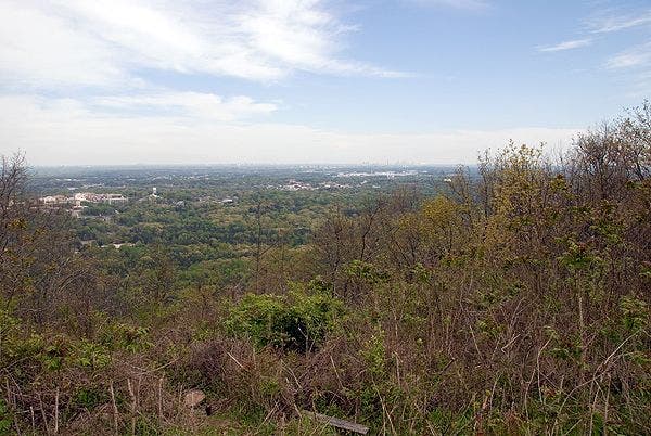
Summit View
Location: 33.9771397, -84.5785046
A view of Atlanta from the summit of Kennesaw Mountain