Atlanta, GA: Cohutta Mountain Loop

-Mapped by Marcus Woolf

Trail Facts
- Distance: 24.3
Waypoints
CML001
Location: 34.8815613, -84.5658722
From Three Forks parking lot, begin gentle ascent amid mature hardwoods
CML002
Location: 34.8852959, -84.5707321
L @ Y, bearing NW on East Cowpen Trail to begin the clockwise loop. Ahead, skirt the E edge of Cowpen Mtn. (4,151 ft.)
CML003
Location: 34.9073372, -84.5796661
Straight @ 3-way; to R, hemlocks and oaks shade campsite with space for 4 or 5 tents. Trail heads N past Buckeye Mtn.
CML004
Location: 34.9329491, -84.5826797
Cross wide spot on ridge; go straight @ T bearing NE on Hickory Ridge Trail
CML005
Location: 34.9384308, -84.5780411
Pass lone 12-ft. American holly tree; heading N, descend along gully on N side of Turkey Stand Lead
CML006
Location: 34.9689865, -84.5712128
Forest transitions from hardwood to hemlocks with lush undergrowth
CML007
Location: 34.9699326, -84.5683899
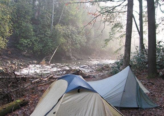
Beech Bottom: Camp by Jacks River near hemlock with a 10?12 ft. girth; fish for trout, soak in stream, enjoy starry skies. To continue, head SE on Jacks River Trail
CML008
Location: 34.9693756, -84.5659027
Cross river and turn R, traveling SE
CML009
Location: 34.9631729, -84.556778
R @ Y into Rough Creek; climb side gully to reach N end of Rough Ridge
CML010
Location: 34.9504128, -84.5650253
Look SW for vantage of Rough Creek cutting through deep, forested gorge; pass spring just S of Crooked Dog Gap
CML011
Location: 34.9343452, -84.562294
Rollercoaster over oak-dominated hills and saddles on Rough Ridge
CML012
Location: 34.9119568, -84.561615
Straight @ unsigned 3-way; head S along crest away from Sugar Cove; in 2.1 mi., close loop @ WPT 2; backtrack to start
Campsite
Location: 34.9689903, -84.5648193