Atlanta, GA: Blood Mountain

Overlooking Chattahoochee National Forest and Blue Ridge Mountains, Blood Mountain is perhaps the most famous peak in Georgia. The setting of epic battles between the Cherokee and Creek Indians more than 400 years ago, the peak is no longer a place of war but a peaceful locale for dayhikers, backpackers, and Appalachian Trail thru-hikers.
Starting from the Byron Reece Memorial trailhead (just north of Neels Gap), this 5.5-mile loop up Blood Mountain—at 4,458 feet, Georgia’s fourth highest peak—connects three trails: Reece, Freeman, and the Appalachian. The first 0.7 mile follows the blue-blazed Reece Trail along a rhododendron-lined creek and under sparse hardwoods to a four-way intersection at Flatrock Gap.
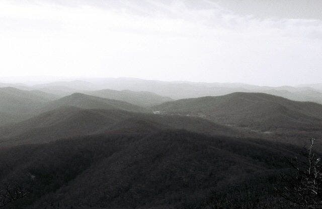
Continuing straight on Freeman Trail, the route hugs the southern contours of Blood Mountain on a gradual climb up to Bird Gap (3,700 feet). Turn right to continue on the AT; look left on this stretch for sporadic views of Slaughter Mountain and its self-named gap. Continuing on, white blazes lead through trail intersections then switchback up to the Blood Mountain shelter and summit. Views of back-to-back ridges and weathered peaks stretch into Tennessee and North Carolina. To finish, descend the AT almost 1,000 feet to Flatrock Gap; then turn left and backtrack to trailhead.
-Mapped by Kris Wagner and Scott Sanders
Trail Facts
- Distance: 8.9
Waypoints
BLM001
Location: 34.741477, -83.922731
Trailhead: Beging hiking southwest along Shanty Creek. Need a last minute gear fix? Check out Mountain Crossings just a half-mile south at Neels Gap. This outdoor store caters to hikers and has a nice selection of gear, especially for weight-conscious, AT thru-hikers.
BLM002
Location: 34.735612, -83.928504
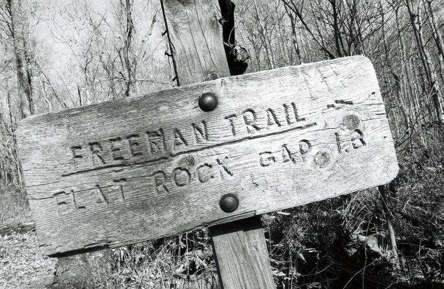
At Flatrock Gap, continue straight on the Freeman Trail. At the end of the hike, you’ll return via the Appalachian Trail (on the right here).
BLM003
Location: 34.731942, -83.936392
The trail curves along the south contours of Blood Mountain on a gradual climb passing occasional views to neighboring peaks along a very gradual climb. In fall, look for piles of thumbnail-sized acorns.
BLM004
Location: 34.734522, -83.940156
Descend stairs and cross Blood Mountain Creek.
BLM005
Location: 34.737381, -83.948101
Bird Gap: Turn right onto the AT. Campsites off to the left. Be aware that strong winds can funnel through this low spot making for cold, restless nights. Hiking northeast from here, look left for views of Slaughter Mountain. This peak is so-named for the epic battles between the Cherokee and Creek tribes that happened here.
BLM006
Location: 34.740118, -83.945049
Stay straight, following white blazes and signs to Blood Mountain.
BLM007
Location: 34.741881, -83.941333
Turn right to continue on the AT. Ahead the trail climbs a few switchbacks up to the spine of Blood Mountain.
BLM008
Location: 34.74106, -83.939032
On left are deep ruts left by horse-drawn wagons or cars before this area was protected as Blood Mountain Wilderness in 1991.
BLM009
Location: 34.740396, -83.93795
Several side trails to the right lead to forested campsites and a privy.
BLM010
Location: 34.738531, -83.93653
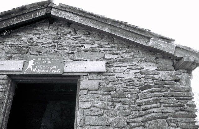
The trail leads right into the wood-framed doorway of Blood Mountain Shelter. Climb the rock slab on right for big views. Views of back-to-back ridges and weathered peaks stretch into Tennessee and North Carolina.
BLM011
Location: 34.737265, -83.936206
A bare rock slope offers more sweet 180-degree views to the west and south. Ahead the trail hooks around to hiker’s left to descend the east face of Blood Mountain (the steepest stretch of the day).
BLM012
Location: 34.735642, -83.928383
The loop closes at Flatrock Gap; turn left here to return to the trailhead.
The Freeman Trail
Location: 34.732231, -83.937972
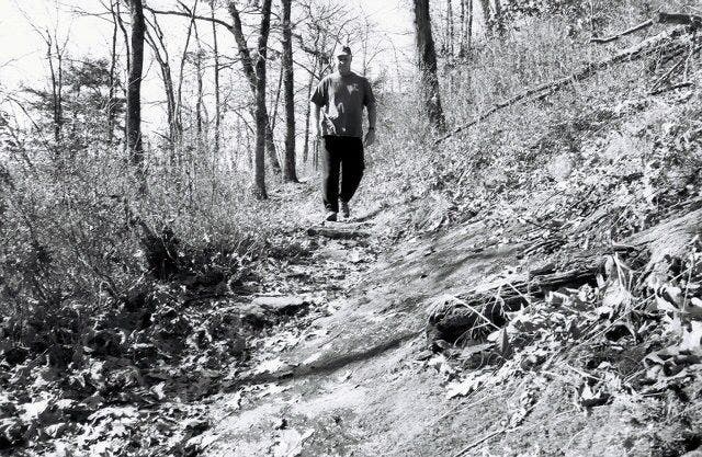
The Freeman Trail hugs the south contours of Blood Mountain.
Bird Gap
Location: 34.737628, -83.947724
A weathered sign at Bird Gap points back down Bird Gap. This route continues on the Appalachian Trail.
Blood Mountain Shelter
Location: 34.738558, -83.936502
Chattahoochee Views
Location: 34.737248, -83.936201
Waves of rock unfold from Blood Mountain.
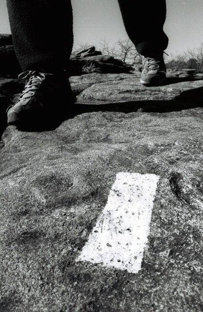
White Blaze
Location: 34.737429, -83.936201
White blazes mark the way for much of the Blood Mountain Loop.