Athens, OH: Zaleski Backpack Trail (South & Middle Loops)

Think Ohio’s all corn farms and soybeans? Think again. Zaleski’s 27,000 hardwood acres offer a dose of true wilderness. This mellow, two-night, 19.9-mile loop—with sandstone outcrops and wild edibles—is perfect for beginners or quick getaways.
Gear up The Pedaler & The Packer, 432 Richland Ave., Athens. (740) 592-4630; pedaler.com
Season Year-round, though trails get muddy in wet weather.
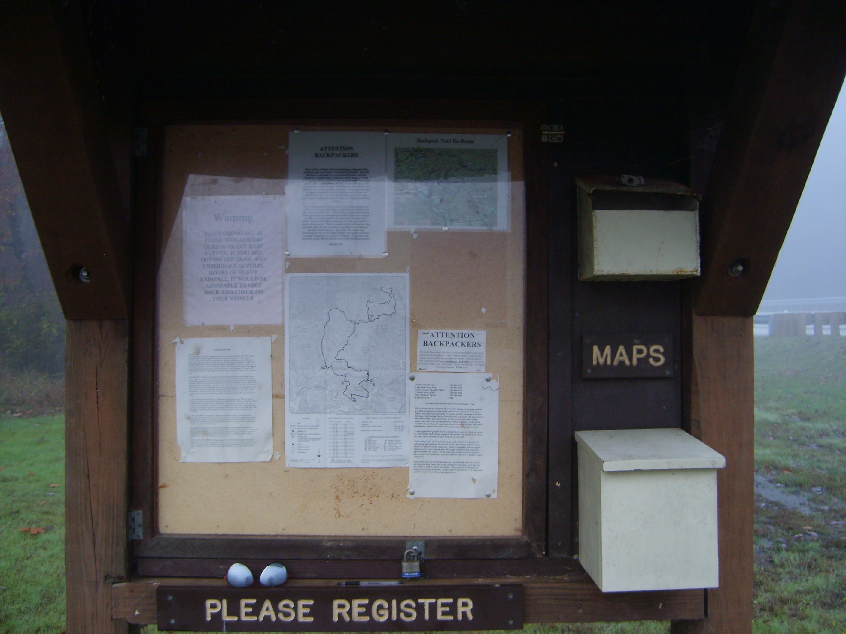
Permit Register for first-come, first-serve campsites at the parking lot kiosk.
Contact (740) 596-5781; ohiodnr.com
Trail Facts
- Distance: 31.9
Waypoints
ZBT001
Location: 39.331688, -82.340196
Parking area. Register at the kiosk, then head clockwise on the orange-blazed trail.
ZBT002
Location: 39.332243, -82.336781
Go left.
ZBT003
Location: 39.335518, -82.33725
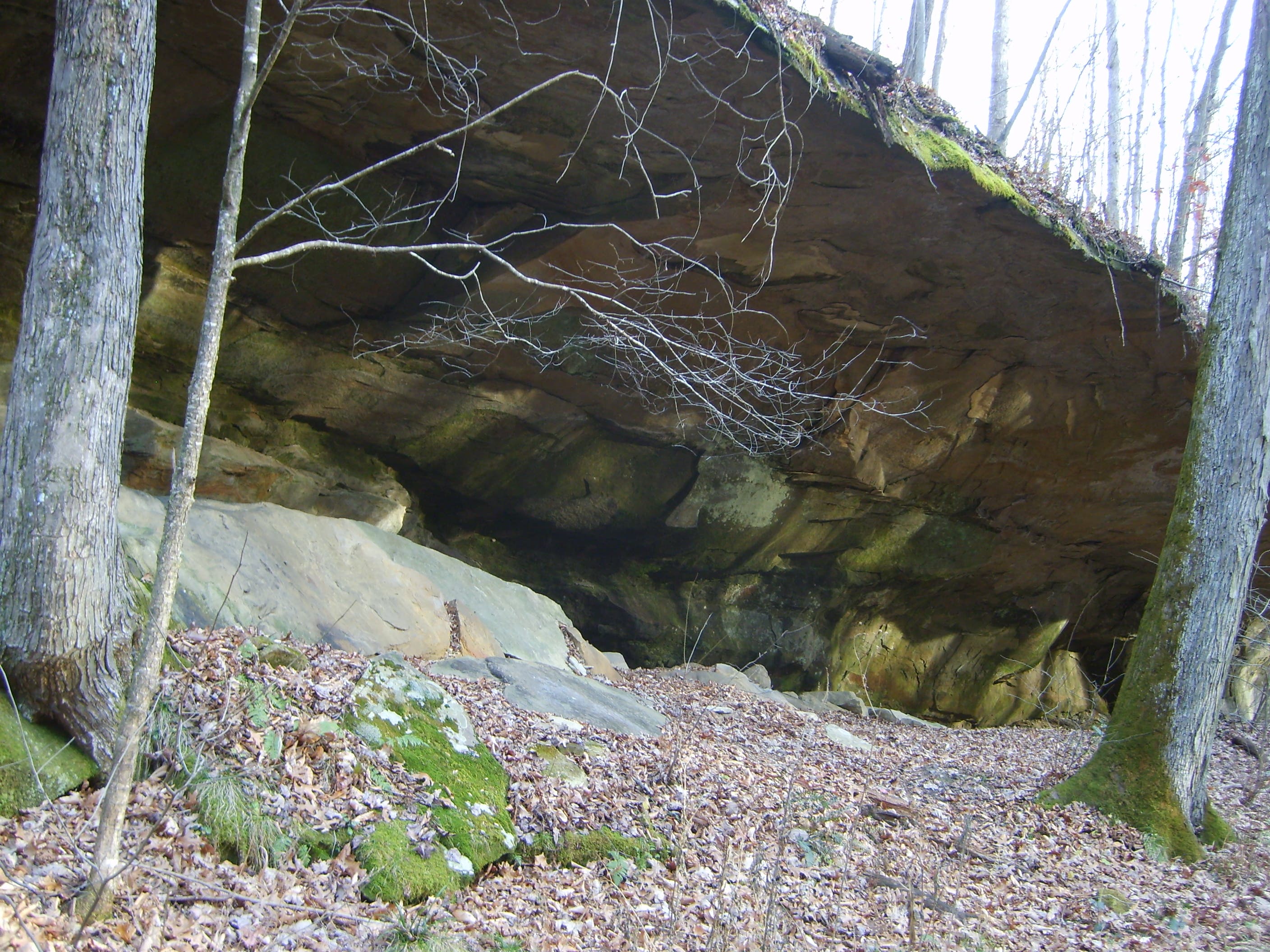
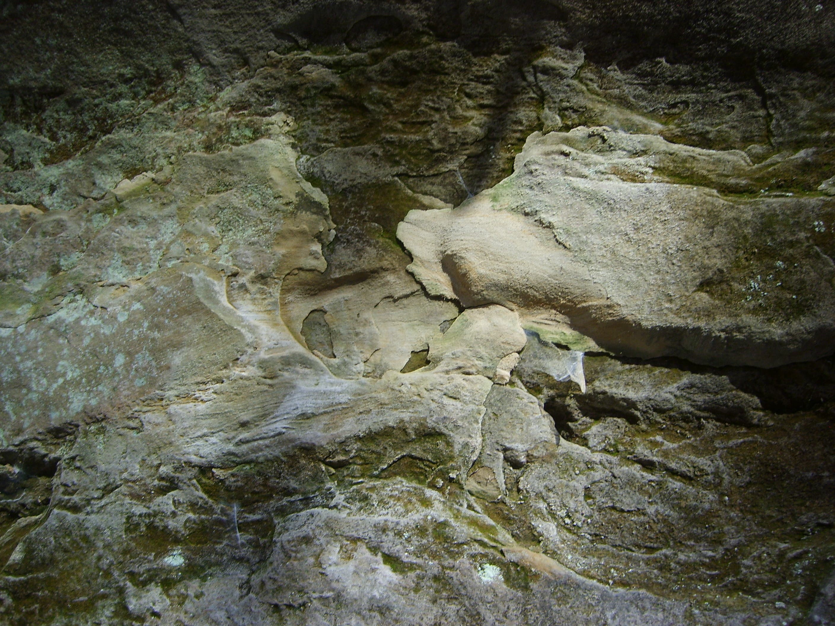
Trailside sandstone has been carved out by the small but steady streams of iron-rich water flowing down the hillsides. Look for orange water oozing from the base of the rock walls during the next .8 mile.
ZBT004
Location: 39.359933, -82.336682
Point O
ZBT005
Location: 39.371252, -82.327054
Creek crossing. Look for the ruins of an old farm near here.
ZBT006
Location: 39.362558, -82.314342
Cross OH 278
ZBT007
Location: 39.362838, -82.311974
Point M
ZBT008
Location: 39.363825, -82.297903
Set up your tent under the hickories, oaks, and maples at Campground H. Water and a latrine are nearby. Next day, retrace your steps a mile.
ZBT009
Location: 39.362008, -82.311609
Next day, retrace your steps a mile and turn left to head south on the Middle Loop.
ZBT010
Location: 39.345443, -82.32103
Cross a creek surrounded by wild ginger, a low-lying perennial with hairy, heart-shaped leaves and small, inconspicuous, rusty-red flowers (blooming spring to fall). Despite the name, it’s not edible.
ZBT011
Location: 39.339593, -82.327615
Pass a hillside seep, that can make the trail very muddy.
ZBT012
Location: 39.337364, -82.327074
Veer left.
ZBT013
Location: 39.325736, -82.299603
Cross road
ZBT014
Location: 39.322512, -82.297003
Latrine
ZBT015
Location: 39.32162, -82.296174
Campground D
ZBT016
Location: 39.311755, -82.300898
Pass an unnamed, cottonwood-lined pond, once a water source for an 1870s-era mining town.
ZBT017
Location: 39.313646, -82.309007
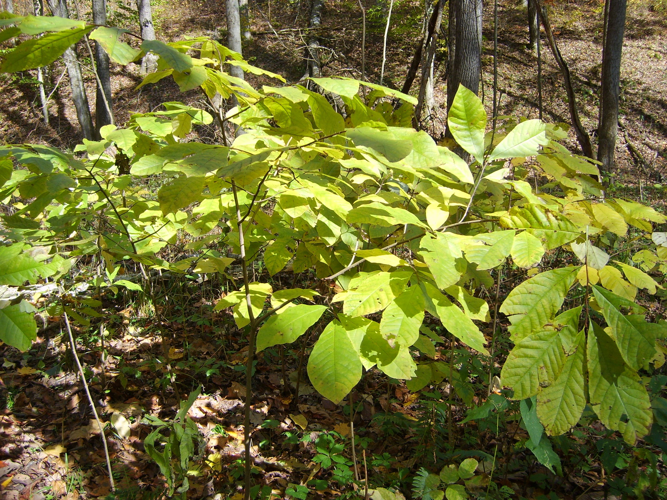
Keep an eye out in the low area for pawpaw fruits (ripe in late summer), which look like small mangoes. The yellow, custardy flesh has a tropical flavor, like a combination of mango, pineapple, and banana.
ZBT018
Location: 39.30942, -82.31141
A rocky outcrop provides views toward an old railroad grade, which leads southwest to the supposedly haunted Moonville tunnel (it’s less than a mile away). Explore by picking your way off-trail about .3 mile to the grade.
ZBT019
Location: 39.321439, -82.315544
Cross logging road
ZBT020
Location: 39.325014, -82.319706
Campground C has large, flat sites. Stay here for night two.
ZBT021
Location: 39.326607, -82.31904
Latrine
ZBT022
Location: 39.326631, -82.319353
Water spigot
ZBT023
Location: 39.332804, -82.332661
Turn left.
ZBT024
Location: 39.330791, -82.340872
Point A. Return to your car.
Pawpaws
Location: 39.313745, -82.309032
Keep an eye out in the low area for pawpaw fruits (ripe in late summer), which look like small mangoes. The yellow, custardy flesh has a tropical flavor, like a combination of mango, pineapple, and banana.
Rocky outcrops dot the trail
Location: 39.342595, -82.340083
Rock outcropping look like faces
Location: 39.335526, -82.336993
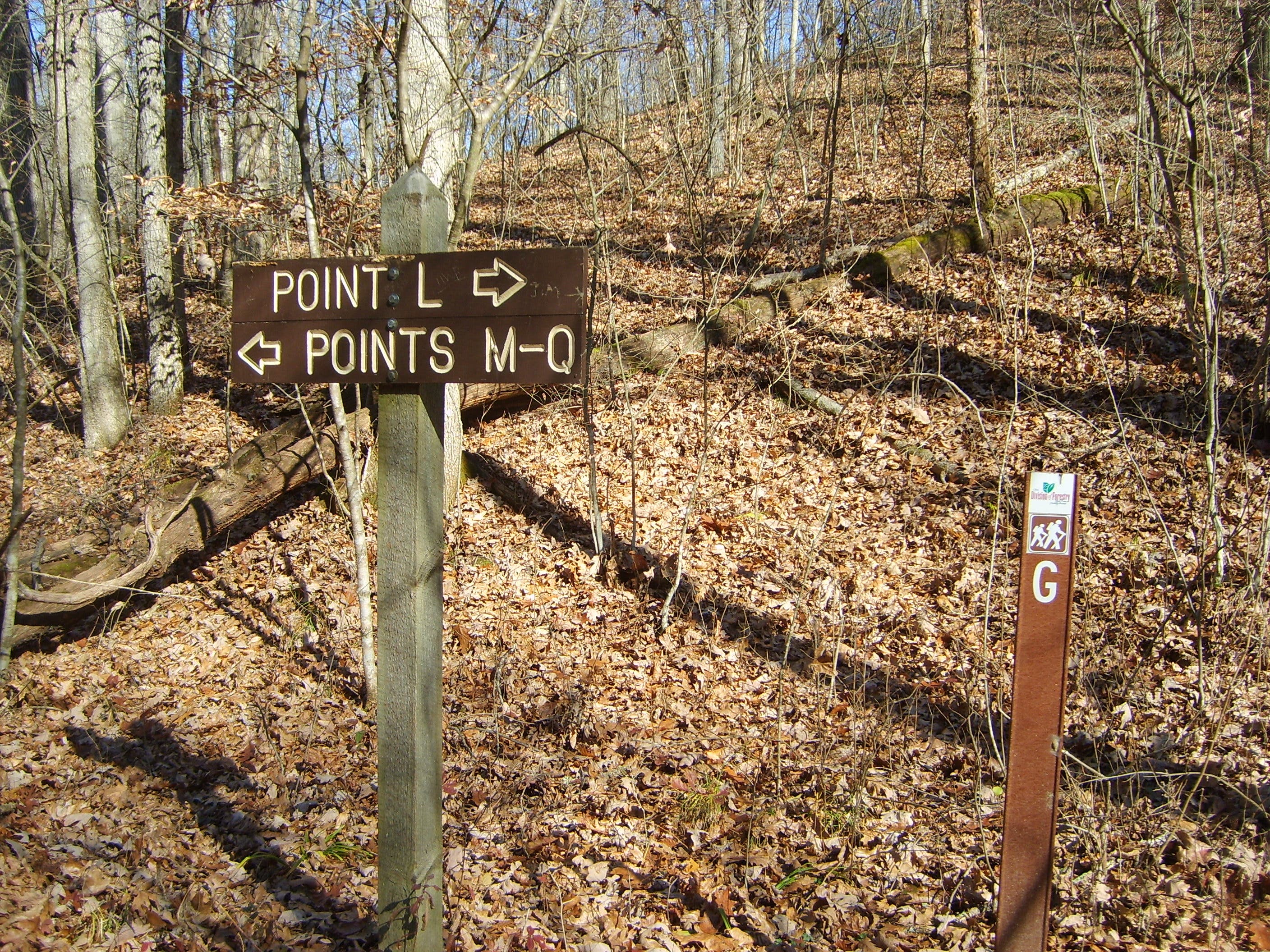
Trail sign
Location: 39.361992, -82.311373
Registration Kiosk
Location: 39.3317, -82.340126