Asheville: Panthertown Valley Loop

Trail Facts
- Distance: 7.5
Waypoints
PTT001
Location: 35.1677284240723, -83.0398025512695
Descend old roadbed past gate. Hike .3 mi. to Salt Rock Gap for open view of Little Green Mtn.’s western granite face
PTT002
Location: 35.1649589538574, -83.0327072143555
L @ Y to drop into valley peppered with pines and hardwoods. Mountain laurel and thick-leaved rhododendron fill the sidelines
PTT003
Location: 35.1664009094238, -83.0283432006836
R @ 4-way; after .3 mi., cross wooden bridge over Panthertown Creek. These upland bogs host a carnivorous sundew which feasts on gnats and flies
PTT004
Location: 35.1633415222168, -83.0268783569336
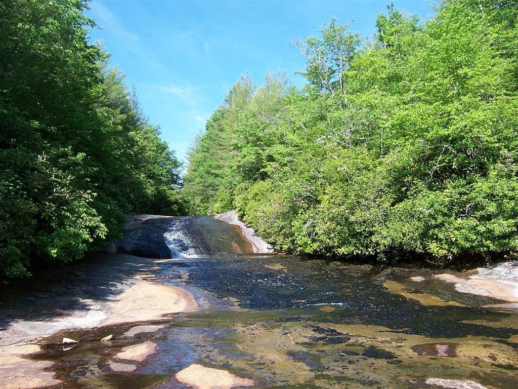
Straight @ T. Side trip: Turn R for quick trip to Granny Burrell Falls, a natural water slide over striped rock slab
PTT005
Location: 35.1591186523438, -83.015739440918
R @ T; after .2 mi., L @ T then climb steep stairs up Little Green Mtn.
PTT006
Location: 35.1634902954102, -83.0141296386719
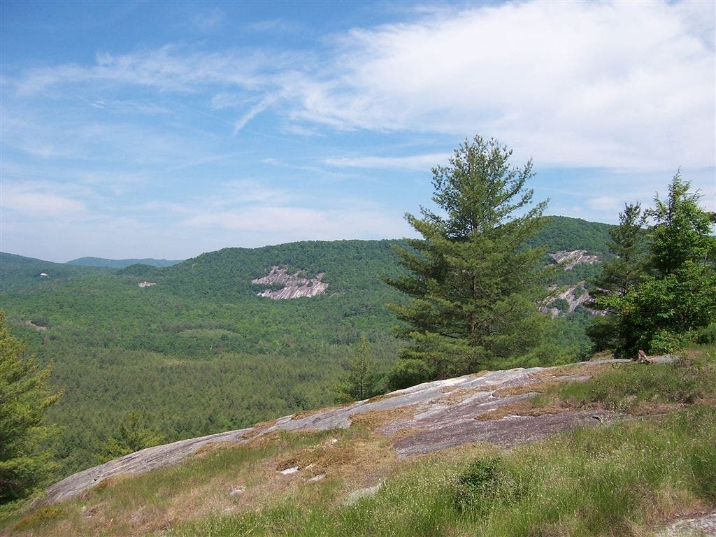
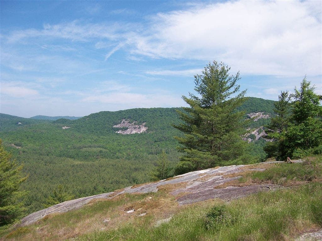
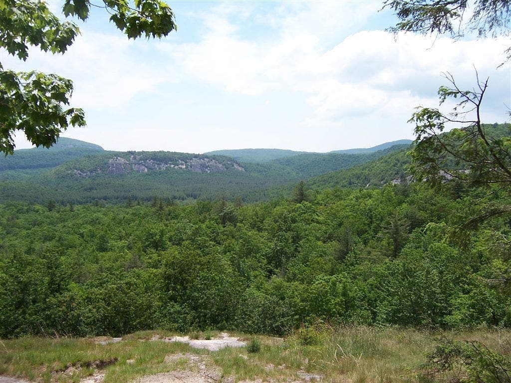
Little Green Mtn. (4,094 ft), a granite dome uncommon to southern Appalachia. Blackrock Mtn. is to NW. Descend E
PTT007
Location: 35.1634292602539, -83.0070571899414
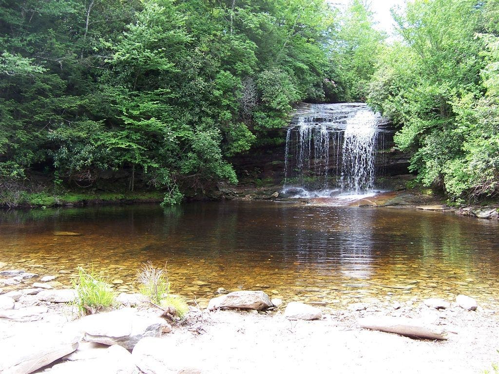
S through woods to Schoolhouse Falls, spilling off overhang into wide, shallow pool
PTT008
Location: 35.1651992797852, -83.006217956543
L @ T onto narrow roadbed, swinging away from Boardcamp Ridge to NE
PTT009
Location: 35.1680488586426, -83.0123977661133
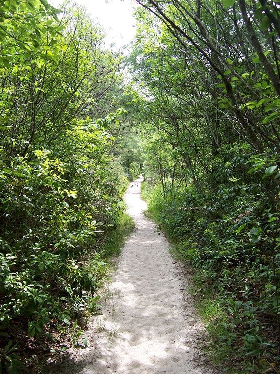
Straight @ T across wooden bridge; follow white sandy trail past beaches and pools of Panthertown Creek. Return to WPT 3 after 1 mi. and retrace steps to trailhead
Granny Burrell Falls
Location: 35.162914276123, -83.0277786254883
©Tim Johnson
View from Little Green Mountain
Location: 35.1632652282715, -83.0143966674805
©Tim Johnson
View from Little Green Mountain
Location: 35.1638145446777, -83.0137939453125
©Tim Johnson
Sandy Trail
Location: 35.1679611206055, -83.0129470825195
©Tim Johnson
Schoolhouse Falls
Location: 35.1633644104004, -83.0067520141602
©Tim Johnson
Salt Rock View
Location: 35.1670608520508, -83.0357208251953
©Tim Johnson