Asheville, NC: Guion Farm Loop

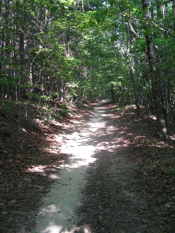
Wildflower lovers and bird watchers will have plenty to gawk at on this 7.5-mile loop in DuPont State Forest. From the trailhead, head north on a double-track trail that soon disappears into a tranquil white pine forest. After wandering into an old rifle field, the trail merges onto a sandy road bed under the canopy of young hardwoods.
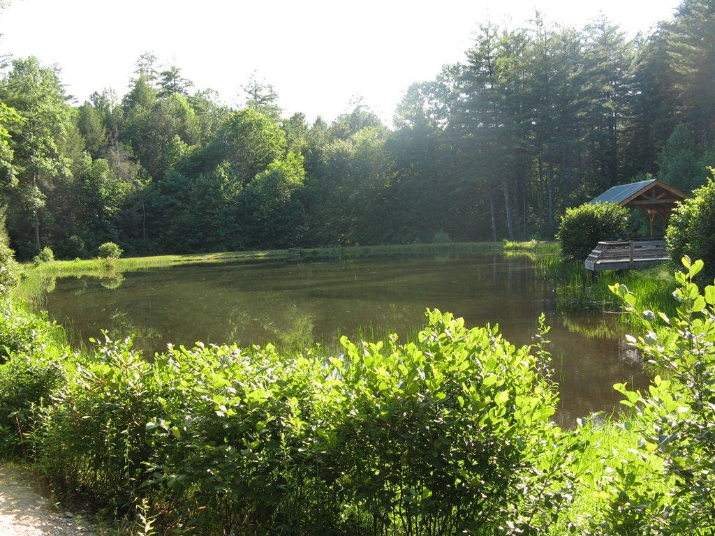
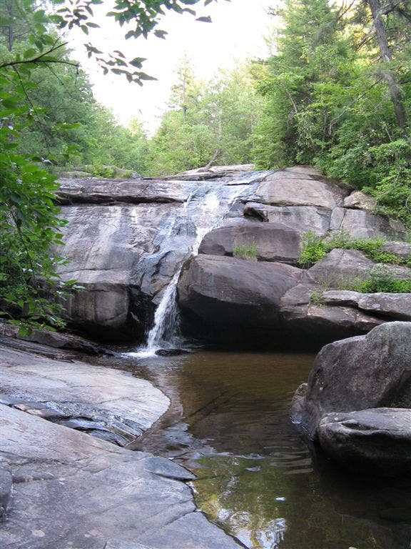
Snaking south, the trail wanders by Imaging Lake before passing the Thomas Cemetery, a collection of well-preserved, Civil War-era headstones. Cross a handful of small streams as the trail wanders east towards Grassy Creek and Wintergreen Falls, two peaceful cascades that embody DuPont’s many hidden gems. From Wintergreen Falls, it’s a gentle 1.75-mile uphill trek back to the trailhead.
-Mapped by Tim Johnson









Trail Facts
- Distance: 12.1
Waypoints
DSF001
Location: 35.2113953, -82.5881882
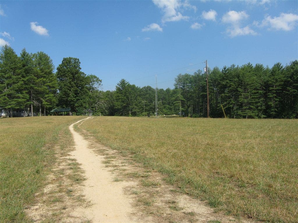
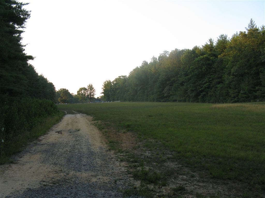
Trailhead: Leave from the north end of the large gravel parking area heading north through a field. Ahead, stay left at the fork behind houses. The old homesites here are known as the Guion Farm or The Flatwoods (due to the gentle terrain of the area).
DSF002
Location: 35.2131157, -82.5907516
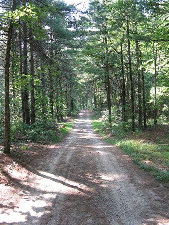
Continue straight @ 4-way junction through a green gate onto Hickory Mountain Road. The sandy, pine needle-covered road penetrates an old white pine plantation with red maple and sourwood understory. Invasive Japanese stiltgrass carpets the roadside. Watch for a patch of Devil’s Walkingstick on the left: this small tree is named for its prickly, thorny trunk. A mixed hardwood forest begins to replace the pine plantation as the road becomes shadier, and the tree canopy narrows above. Continue straight as numerous side trails (White Pine, Guion and Boundary) come and go on the left and right, and an old wildlife opening shoots off to the left.
DSF003
Location: 35.21912, -82.6014099
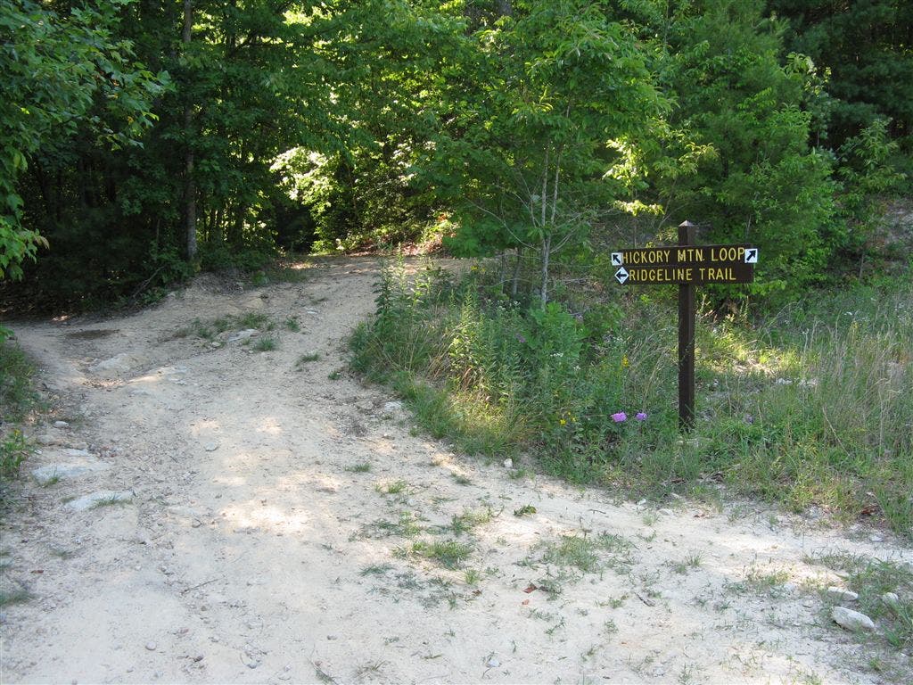
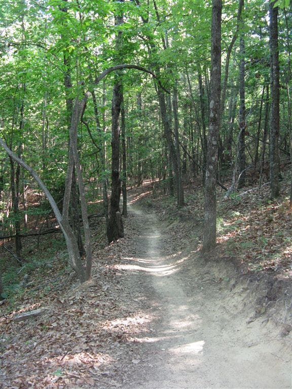
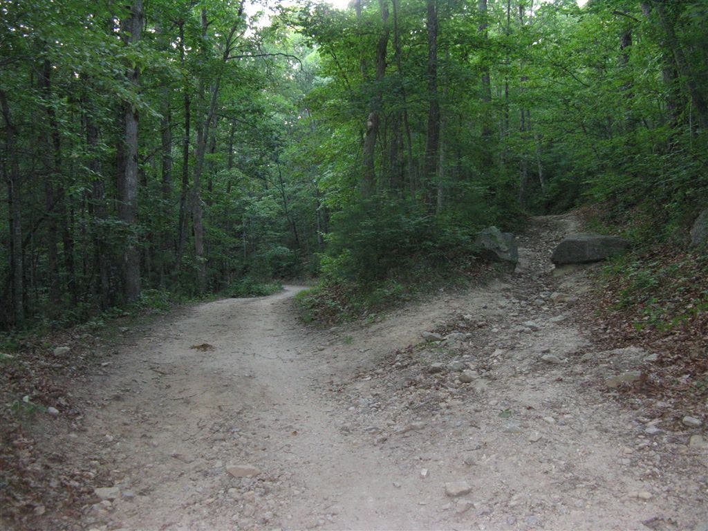
The trail enters an old field that was once a rifle range. Follow the worn path leading to a 3-way intersection on the northeast side of field, and go left on the Ridgeline Trail, a sandy roadbed through a young mixed hardwood forest. After passing the Hooker Creek trail junction, begin a steady descent, staying left on the new, rolling foot path rerouted off an old roadbed. Enter an open pine forest where pink ladyslippers dot the forest floor. Hooker Creek can be heard among dense rhododendron below.
DSF004
Location: 35.2091293, -82.6138916
Go left @ T-junction on Lake Imaging Road. Stay left at Lake Imaging and small picnic shelter.
DSF005
Location: 35.2079544, -82.6126556
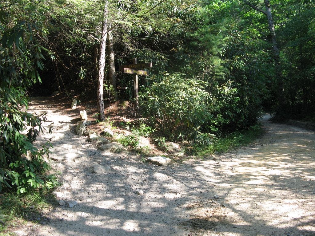
Go left @ Y-junction, and ascend rock steps along Jim Branch Trail. Rhododendron, ferns, and mountain laurel fill the understory below towering white pines. The pine forest slowly transitions to oak with chestnuts growing above. The three distinct and aromatically unique leaves of sassafrass can be found on saplings by the trail. Ahead, after the trail rounds the bend to the south, continue straight at the intersection with the Issac Heath Trail.
DSF006
Location: 35.2045288, -82.6029816
Just after passing the Isaac Heath Trail, go right @ T-junction on the well-graveled and graded Buck Forest Road. For a shorter hike, turn left here to head back to the Guion Farm and trailhead.
DSF007
Location: 35.2010994, -82.6019516
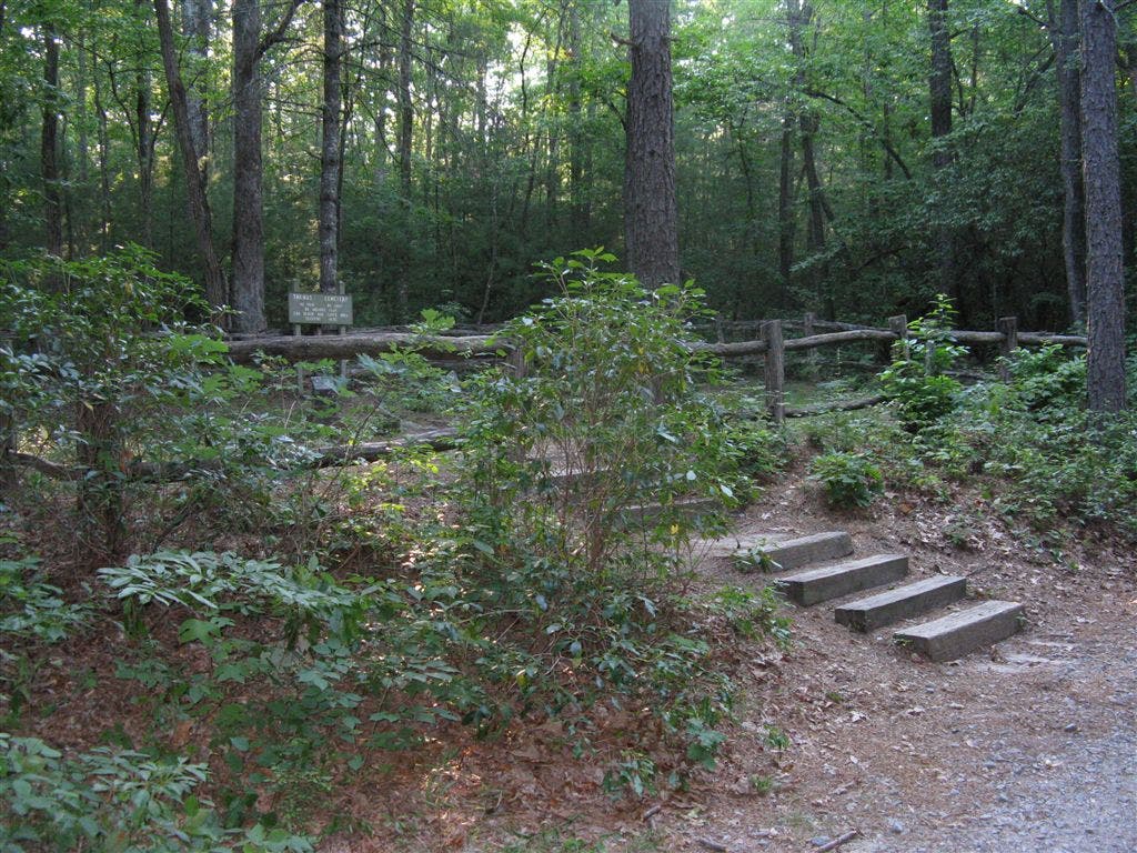
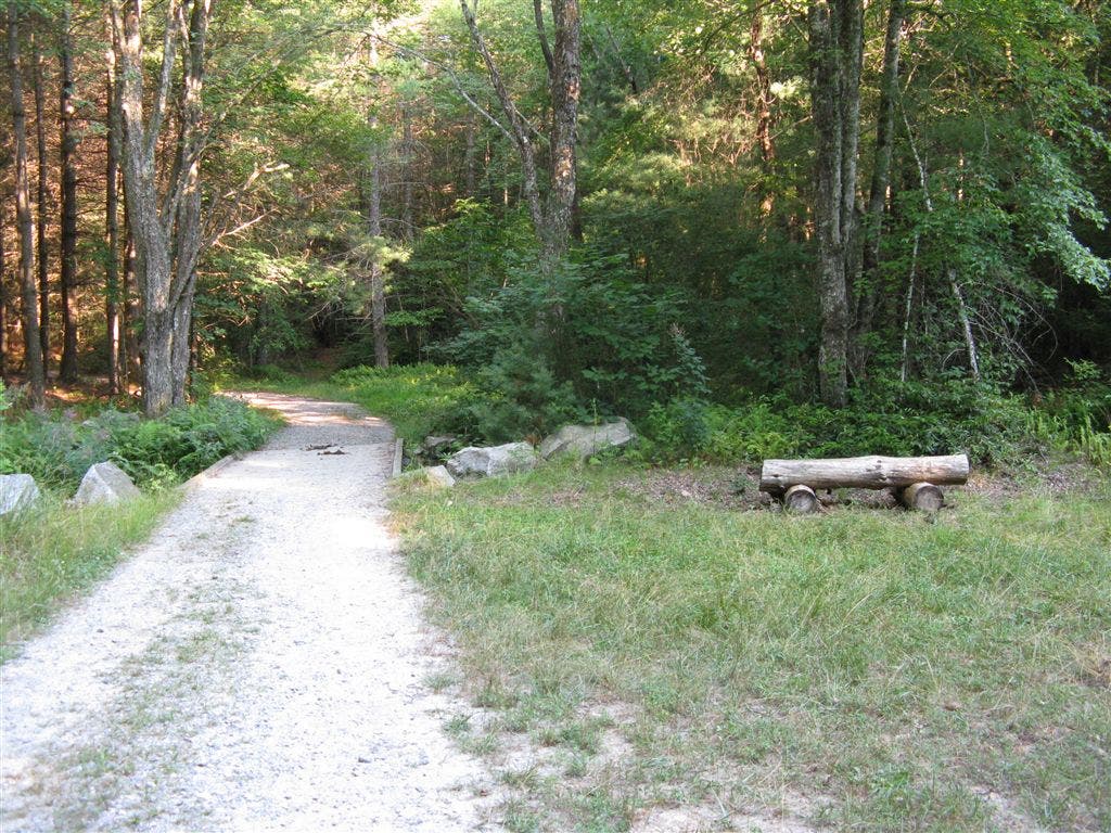
Go left @ Y-junction on Thomas Cemetery Road. Pass the 19th-century Thomas Family Cemetery on right. It is now the peaceful home of the Thomas family who owned a large portion of the forest in the early 1800’s. Before the Civil War, Micajah Thomas–the Thomas family leader in the Cedar Mountain area–built the Buck Forest Inn. It was later destroyed by Union troops. A sign at the cemetery reads, “No pain, no grief, no anxious fear can reach our loved ones sleeping here.” Continue hiking down a gradual grade and cross a bridge over Dry Bench next to bench. Running cedar carpets the ground, and the call of the scarlet tanager.
DSF008
Location: 35.2005348, -82.5952682
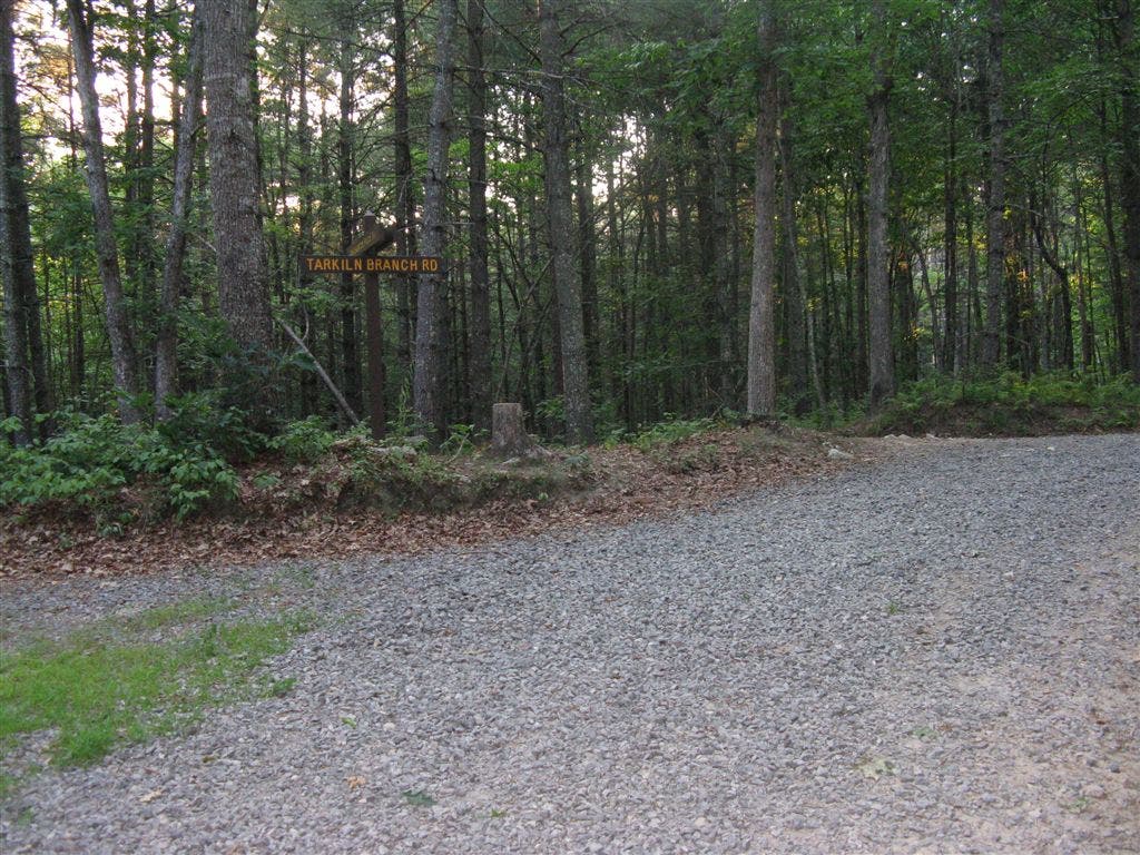
Turn right on the sandy Tarklin Branch Road. Look and listen for the white-breasted nuthatch crawling up and down tree trunks in search for food. The dry habitat here supports trailing arbutus in early spring and flowering spurge in summer. Cross the Tarklin Branch stream and look right for informational sign about properly constructed stream crossings on forest roads.
DSF009
Location: 35.1986389, -82.5907745
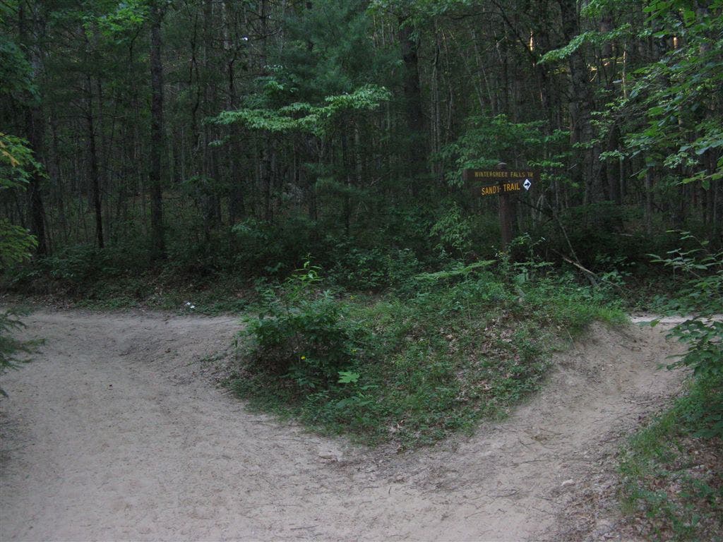
Go right @ Y-junction on the Sandy Trail. This tranquil footpath runs beside Dry Branch with Carolina hemlock, galax, and thick understory.
DSF010
Location: 35.196209, -82.5863495
Continue straight on Sandy Trail. To the right, a short side trip to Grassy Creek reveals a small stream flowing among boulders.
DSF011
Location: 35.1964912, -82.585495
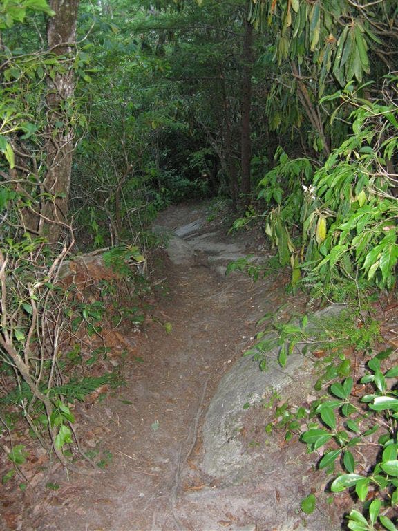
Go right @ Y-junction on the Wintergreen Falls Trail. Follow a wide trail which soon narrows and leads up and over rocks and roots to the 20-foot drop of Wintergreen Falls. Backtrack to this waypoint and bear right to head northwest on Wintergreen Falls Trail.
DSF012
Location: 35.2004623, -82.5894089
Go right on Tarklin Branch Road. Gradually ascend and stay left at first split; at the next fork stay right. Listen for the rich flute-like song of the wood thrush. Continue north to the trailhead parking lot.
Trailhead
Location: 35.2113521, -82.5880694
©Tim Johnson
Guion Farm
Location: 35.2129707, -82.5899048
Looking back to trailhead. ©Tim Johnson
White Pine Plantation
Location: 35.2138023, -82.5909271
©Tim Johnson
Doubletrack
Location: 35.2150154, -82.5921097
©Tim Johnson
Rifle Range
Location: 35.2187019, -82.6007724
Entering the rifle range field at the north end of the loop. ©Tim Johnson
Rifle Range
Location: 35.2187085, -82.6008502
©Tim Johnson
Ridgeline Trail Junction
Location: 35.2191204, -82.6013866
©Tim Johnson
Shady Trail
Location: 35.2170868, -82.6028519
©Tim Johnson
Singletrack
Location: 35.2167053, -82.607254
©Tim Johnson
Lake Imaging
Location: 35.2085838, -82.6127243
©Tim Johnson
Jim Branch Trail Junction
Location: 35.2079582, -82.6126251
©Tim Johnson
Buck Forest Road Intersection
Location: 35.2045212, -82.602951
©Tim Johnson
Thomas Cemetery Road
Location: 35.2012062, -82.6020584
©Tim Johnson
Thomas Cemetery
Location: 35.2004738, -82.6007919
©Tim Johnson
Thomas Cemetery
Location: 35.2004967, -82.600647
©Tim Johnson
Headstone
Location: 35.2005806, -82.6007462
©Tim Johnson
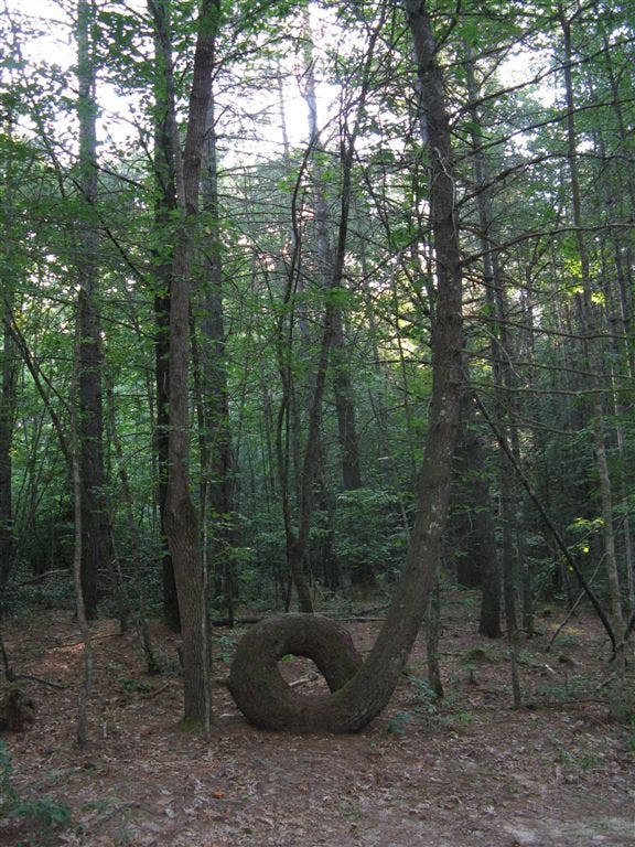
Intriguing Tree
Location: 35.1987572, -82.5987625
©Tim Johnson
Dry Branch
Location: 35.197387, -82.5976288
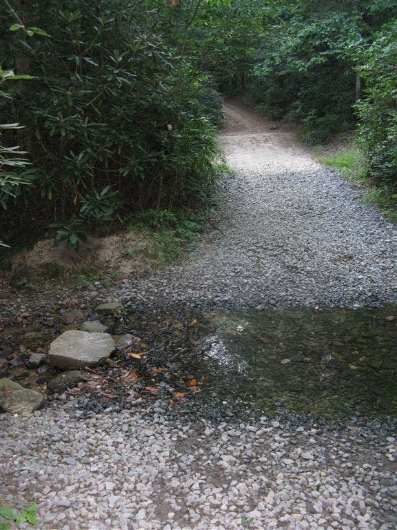
Creek crossing. ©Tim Johnson
Seasonal Stream
Location: 35.1989213, -82.5927231
©Tim Johnson
Sandy Trail Junction
Location: 35.1986465, -82.5907822
©Tim Johnson
Grassy Creek
Location: 35.1960894, -82.5861812
©Tim Johnson
Wintergreen Falls Trail Junction
Location: 35.1964951, -82.585556
©Tim Johnson
Wintergreen Falls Trail
Location: 35.1970495, -82.5836626
©Tim Johnson
Wintergreen Falls
Location: 35.1976982, -82.5837108
©Tim Johnson
Wintergreen Falls
Location: 35.1976939, -82.5837269
©Tim Johnson
Tarklin Branch Road Intersection
Location: 35.2004013, -82.5894241
©Tim Johnson
Trail Fork
Location: 35.2028389, -82.5901566
Continue straight. ©Tim Johnson
Return Trip
Location: 35.2091217, -82.5875702
©Tim Johnson