Asheville, NC: Creekside Loop

I thought my backpacking days were on hold. I was five months pregnant, and taking care of my midsection was hard enough without puffing up a Therm-a-Rest or sweating up a steep trail. But when an opportunity arose that was too good to pass up (being a BACKPACKER Reader Leader! Hello!), I threw my reservations aside and said to my husband, “Heck—let’s do it!”
We picked the gentle 10.4-mile Creekside Loop in the Mills River area of Pisgah National Forest. It has minimal climbing, many opportunities to dabble toes in the water, and enough camping options that we could tweak our itinerary if we needed to.
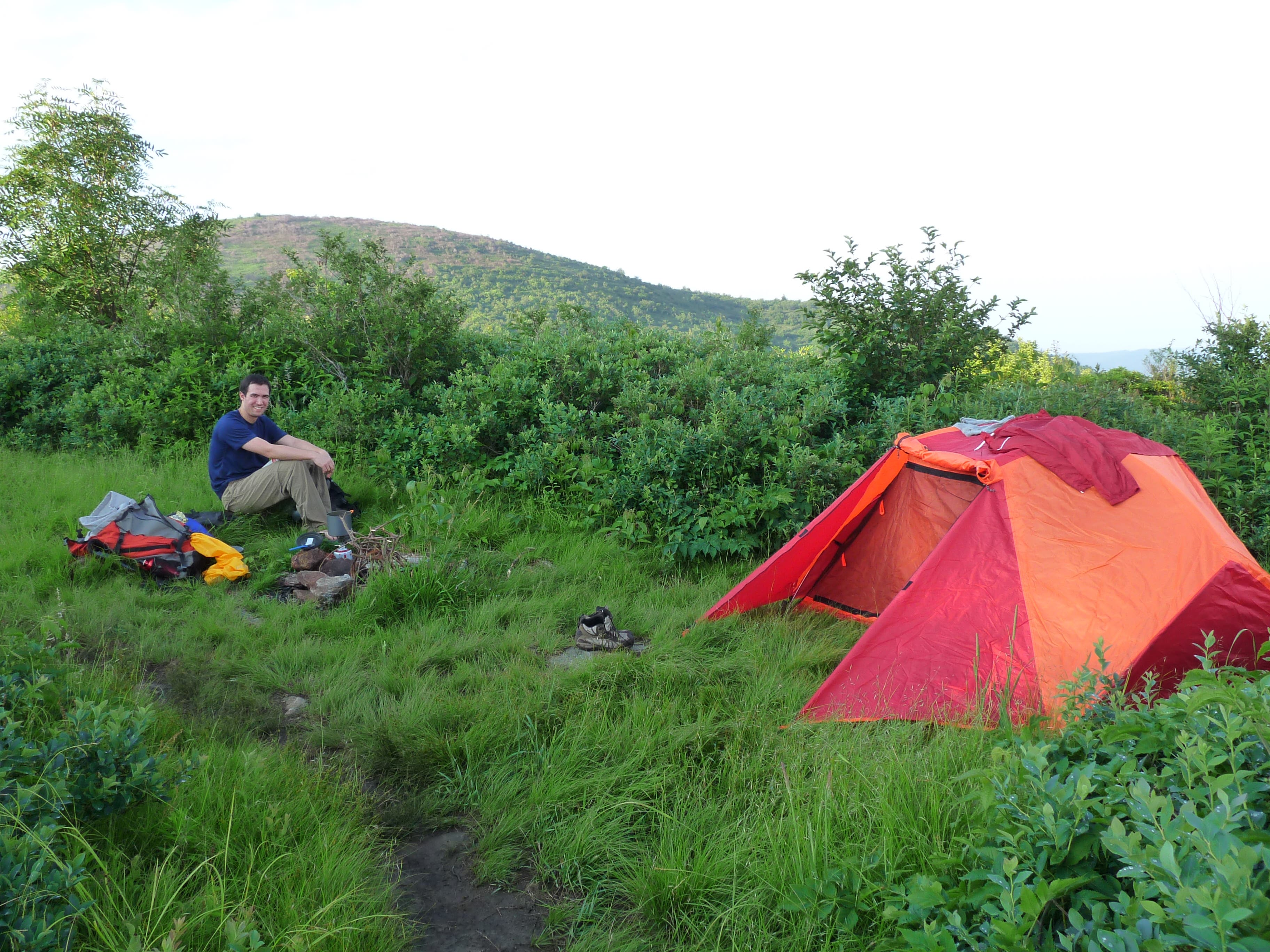
From the Turkeypen trailhead north of Brevard, take the Mullinax Trail through hemlock and rhododendron over 3,000-foot Mullinax Gap to the Laurel Creek Trail. This tracks the creek for 1.6 miles to the Bradley Creek Trail junction, a good place to camp if you don’t want to push it. Take Bradley Creek to a left on the Riverside Trail. There are a half-dozen easy creek crossings in this stretch (nice for my swollen ankles). We camped riverside at mile 8.6, in a hemlock-shaded spot with a fire ring.
The next day is an easy 2.4 miles to the trailhead, where we high-fived for getting in one more trip before becoming new parents (to a girl!).
Map Pisgah Ranger District ($12, natgeomaps.com)
Contact (828) 257-4200; fs.usda.gov/nfsnc
-Text and mapping by Emily Marten
Trail Facts
- Distance: 16.7
Waypoints
CRK001
Location: 35.342407, -82.659225
The route begins at Turkeypen Gap. Take the Mullinax Trail through hemlock and rhododendron.
CRK002
Location: 35.343888, -82.665113
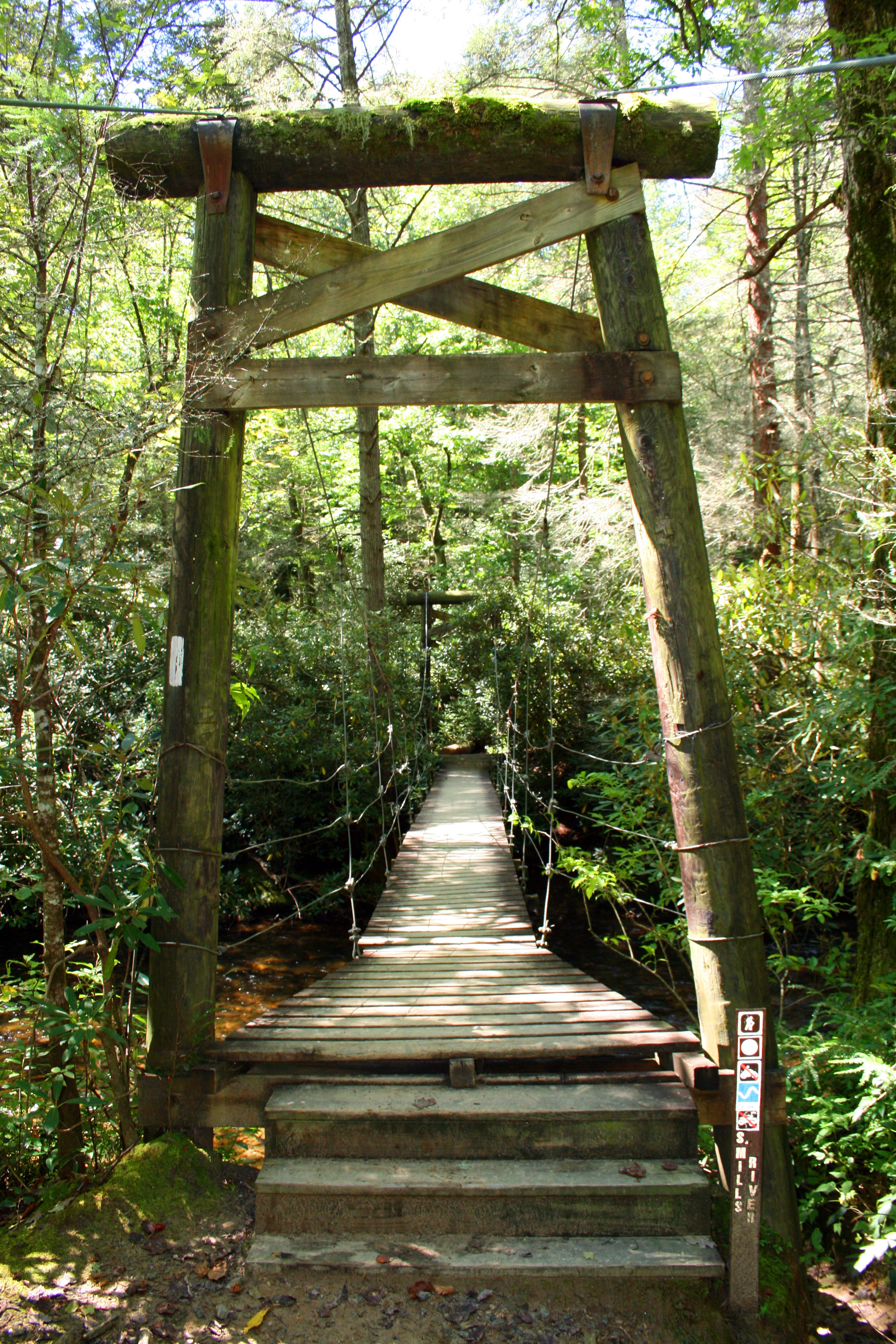
Cross a swing bridge over South Fork Mills River.
CRK003
Location: 35.343625, -82.665854
Turn left to begin a clockwise loop.
CRK004
Location: 35.34394, -82.673621
At this point, the trail swings north and travels toward Mullinax Gap.
CRK005
Location: 35.352211, -82.675812
Keep left at this trail fork south of Mullinax Gap.
CRK006
Location: 35.355491, -82.677398
Mullinax Gap
CRK007
Location: 35.357941, -82.683749
Turn right at this 3-way and hike north.
CRK008
Location: 35.362596, -82.682548
Optional: Turn left to reach a potential campsite.
CRK009
Location: 35.363681, -82.683792
Campsite
CRK010
Location: 35.36865, -82.668214
Turn right at the T-junction onto Bradley Creek Trail. The trail curves to the south.
CRK011
Location: 35.358676, -82.658
Turn left at the 3-way junction onto Riverside Trail. Ahead, there are a half-dozen easy creek crossings.
CRK012
Location: 35.355911, -82.643108
Turn right (south) at the T-junction.
CRK013
Location: 35.353846, -82.649975
This spot is too dense and steep for camping.
CRK014
Location: 35.347432, -82.657603
This hemlock-shaded spot with a fire ring is a good spot to set up camp. Next day: Follow this trail back to CRK002, then continue straight to reach the trailhead.
Swing Bridge
Location: 35.343835, -82.665349
The first and only bridge on the entire loop.
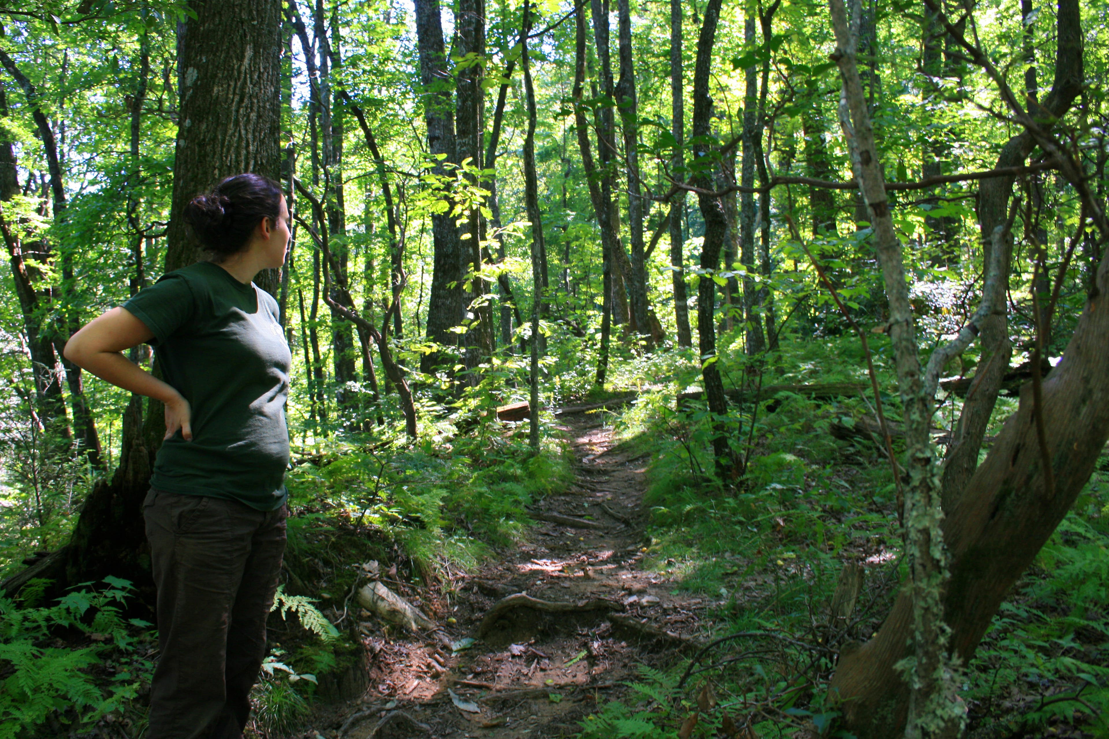
Wooded Trail
Location: 35.359306, -82.683706
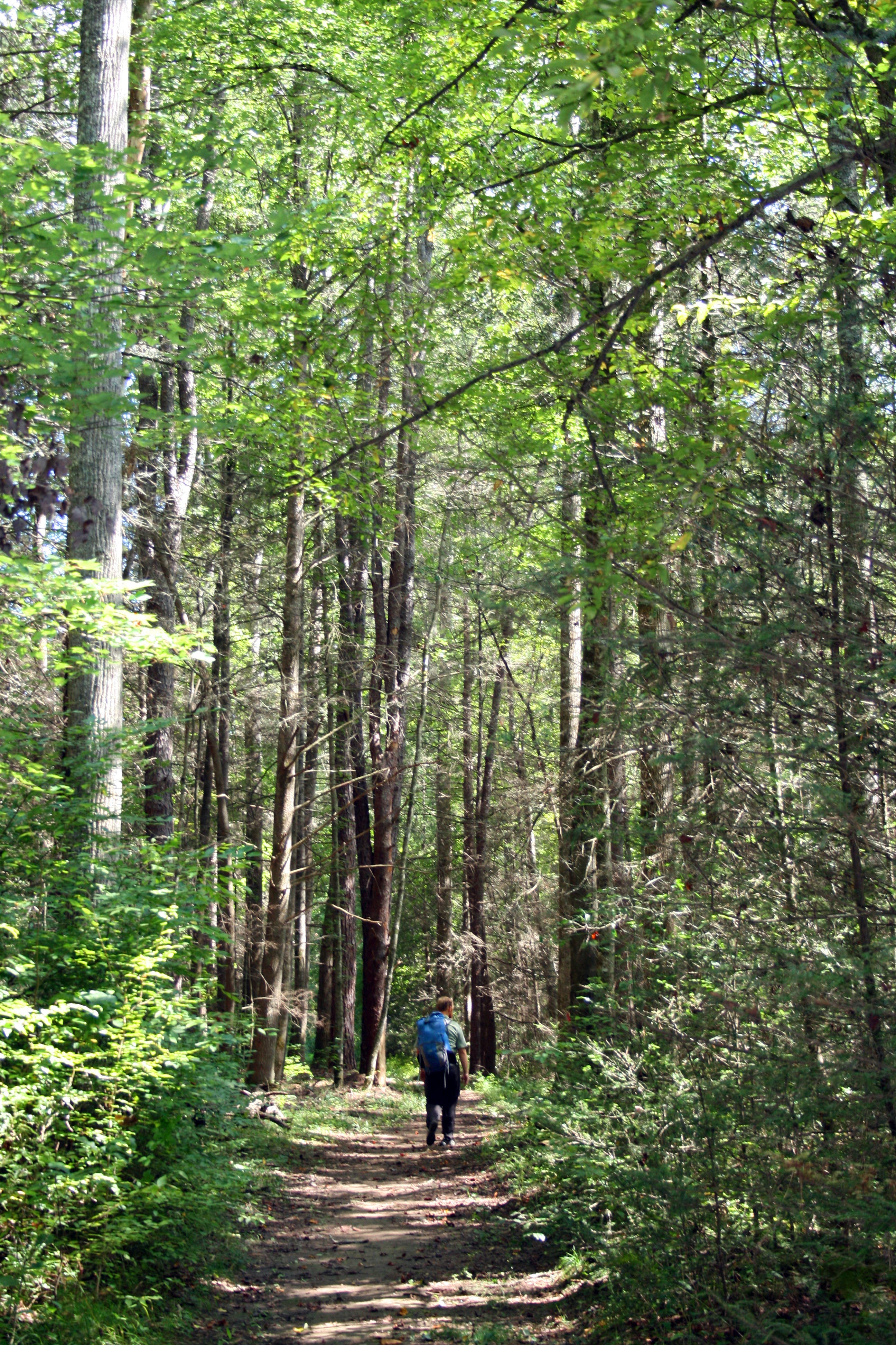
Bradley Creek Trail
Location: 35.368615, -82.667828
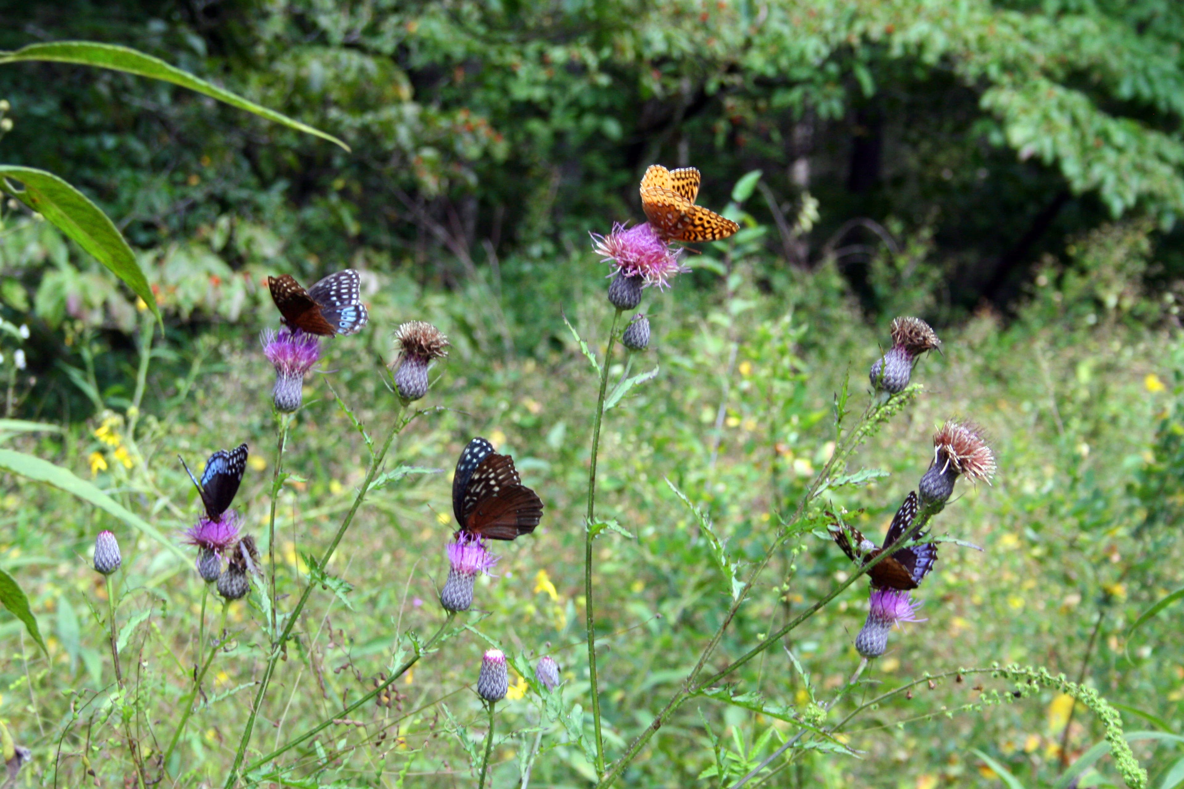
Butterflies
Location: 35.358396, -82.651284
A great-spangled fritillary and four diana fritillary butterflies enjoying some knapweed along the trail.
Campsite
Location: 35.347441, -82.657474
A quiet campsite by the river