Asheville, NC: Calloway Peak

This loop winds up the backside of Grandfather Mountain, climbing moderate switchbacks, rocky crags, and wooden ladders en route to Calloway Peak, the highest summit in the Blue Ridge Mountains. Although you’re hiking in North Carolina, this trip may feel like the Canadian Rockies as you trace the footsteps of a trail built by Boy Scouts through dark spruce-fir forest. This trek is a moderate dayhike and also works as an overnighter (with several campsite options along the way). Bring your camera—great views of natural and man-made wonders can be seen at trailside rock outcroppings along the way.
-Mapped by Tim Johnson


Trail Facts
- Distance: 10.5
Waypoints
GFM001
Location: 36.1199913024902, -81.7815399169922
From the parking lot, follow the access trail for 800 feet, then turn left heading south on the Tanawha Trail (marked with white feather blazes); cross Boone Fork on a sturdy footbridge. Maple, black birch, and American beech trees flank the trail. Listen for the unique call of the hooded warbler in the thick rhododendron. Ahead: Trail passes the Asutsi Trail—this route provides winter trail access from US 221 when the Blue Ridge Parkway is closed.
GFM002
Location: 36.1163139343262, -81.7806091308594
Continue straight on the Tanawha Trail @ 3-way intersection (the Nuwati Trail forks to the right); steady ascent ahead.
GFM003
Location: 36.1136894226074, -81.7812194824219
Turn right @ Y-junction onto white-blazed Daniel Boone Scout Trail. This trail was originally built by (and named for) a Boy Scout group from nearby Blowing Rock. Next, ascend wide, moderate switchbacks; pungent evergreen galax covers the forest floor; look for the distinct lobed leaves of Fraser magnolia; black cherry and red spruce can also be found here.
GFM004
Location: 36.1118469238281, -81.7941513061524
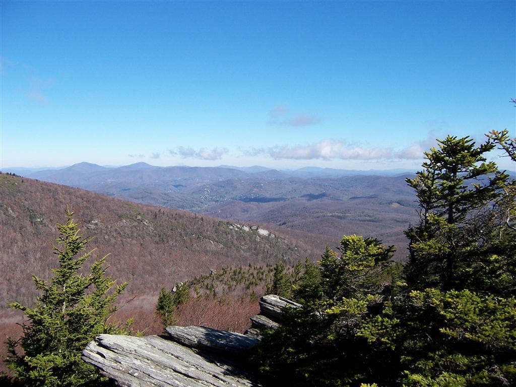
Go left @ Y-junction and follow the trail sign to Flat Rock for views of Boone Bowl below (to the north) and Calloway Peak to the west. This table-top rock also serves as a good lunch spot.
GFM005
Location: 36.1115036010742, -81.7946319580078
Pass the Daniel Boone Campsite; set up camp on tent platforms, or continue on trail. The bark of yellow birch peels off tree trunks above ferns and club mosses. Fraser fir and yellow buckeye start to appear more frequently.
GFM006
Location: 36.1098365783691, -81.8035125732422
Pass Briar Patch Campsite.
GFM007
Location: 36.1104049682617, -81.8051605224609
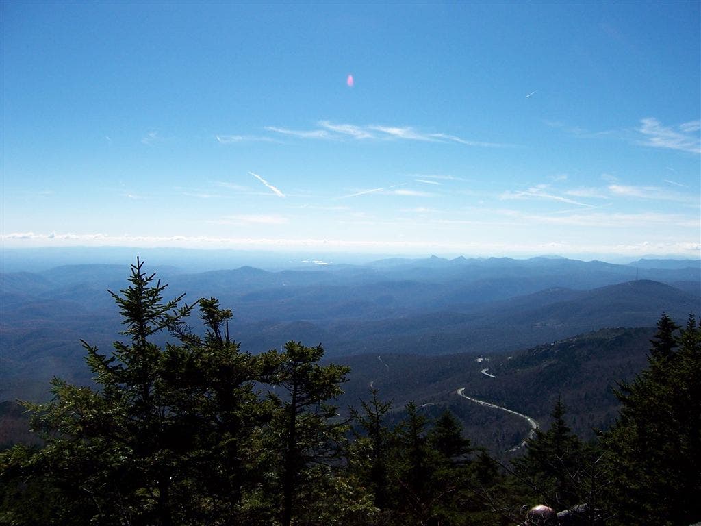
A short 30-yard side trip to the left (south) leads to a view of the Linn Cove Viaduct, an elevated bridge on the Blue Ridge Parkway. This engineering marvel, which took 4 years and $10 million to build, linked the remaining gap in the parkway. Continue west on the Daniel Boone Scout Trail through dark, cool spruce-fir forest reminiscent of Canada’s backcountry.
GFM008
Location: 36.1109771728516, -81.8078002929688
Pass Hi-Balsam Shelter on the left; this log lean-to sleeps 4 comfortably with awesome views over the Lost Cove area to the southeast. Climb a rocky crag with good views to the northeast at the top.
GFM009
Location: 36.1112785339356, -81.8086166381836
Wreckage from an old plane crash litters the ground to the right of the trail across from Raven’s Roost campsite; hike north.
GFM010
Location: 36.1116256713867, -81.8102798461914
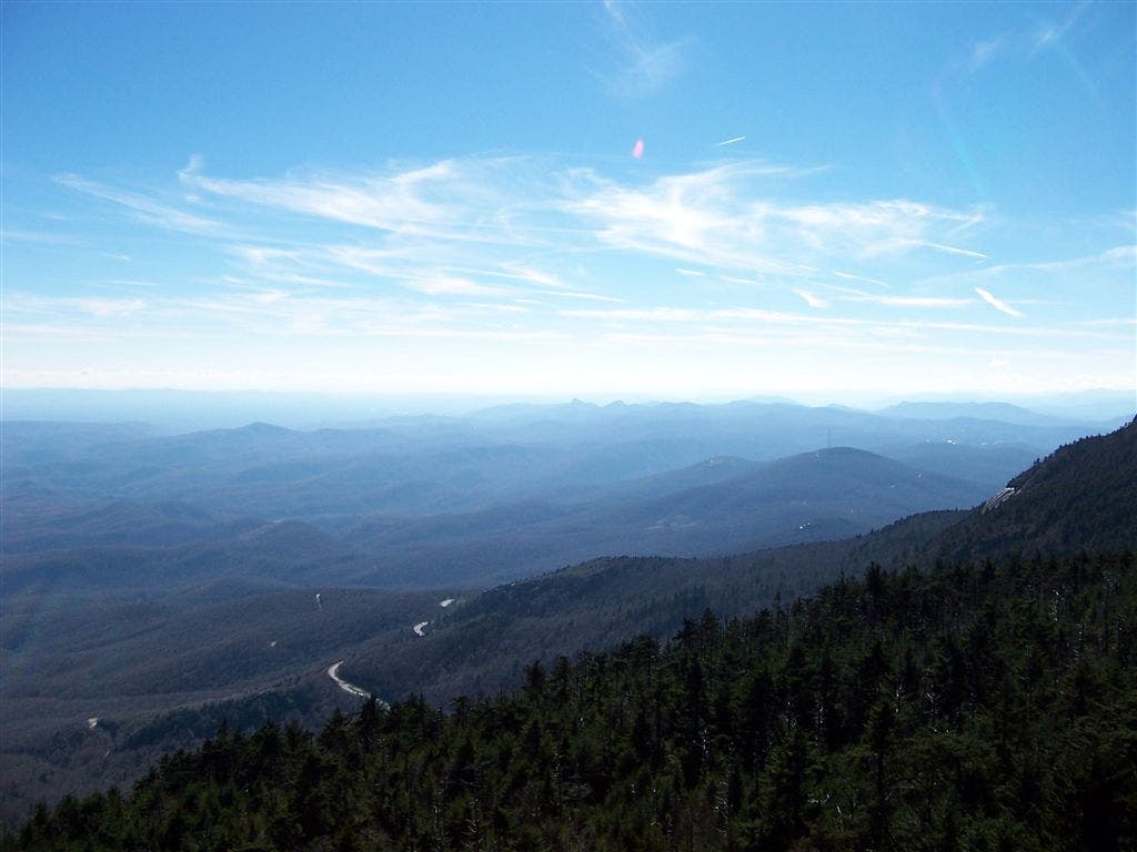
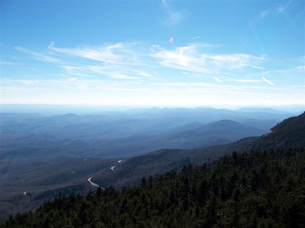
Tackle this steep pitch to the summit with the aid of cables and wooden ladders. From the 5,964-foot summit of Calloway Peak, enjoy 360-degree views—Grandfather Mountain to the southwest, the small community of Foscoe to the northwest, and Table Rock and Hawksbill Mountains to the south. From here, backtrack to Waypoint 4 and go left @ the Y-junction onto the Cragway Trail.
GFM011
Location: 36.1164054870606, -81.7905731201172
Check out views of Boone Bowl from Top Crag. The fragile and low-growing Allegheny sand myrtle grows on the rocks here; White Rock Ridge looms above to the northwest. Next, descend steep, rocky crags and steps with good views of Boone Bowl and surrounding mountains; navigate through dense rhododendron, mountain laurel, and blueberry bushes.
GFM012
Location: 36.1180992126465, -81.7910003662109
Turn right @ T-junction on the Nuwati Trail (Cherokee for “good medicine”). Imagine steam locomotives carrying freshly cut logs down this old railroad grade; listen for sounds of a stream to your left. Follow the trail to Waypoint 2; go left @ T-junction to reach the trailhead.
View from Flat Rock
Location: 36.1116218566894, -81.7945175170898
Viaduct View
Location: 36.1103973388672, -81.8050537109375
View from Calloway Peak
Location: 36.1115913391113, -81.8101119995117
View from Calloway Peak
Location: 36.1116256713867, -81.8102340698242