Asheville, NC: Black Balsam Knob via Graveyard Fields
This ridge-country classic swings from the Blue Ridge Parkway through the Graveyard Fields en route to Black Balsam Knob and Tennent Mountain. Tackle the 9.8-mile lollipop loop in a day or stretch it into a leisurely overnight with one of the many prime campsites around Ivestor Gap.
Heading out the door? Read this article on the new Outside+ app available now on iOS devices for members! Download the app.
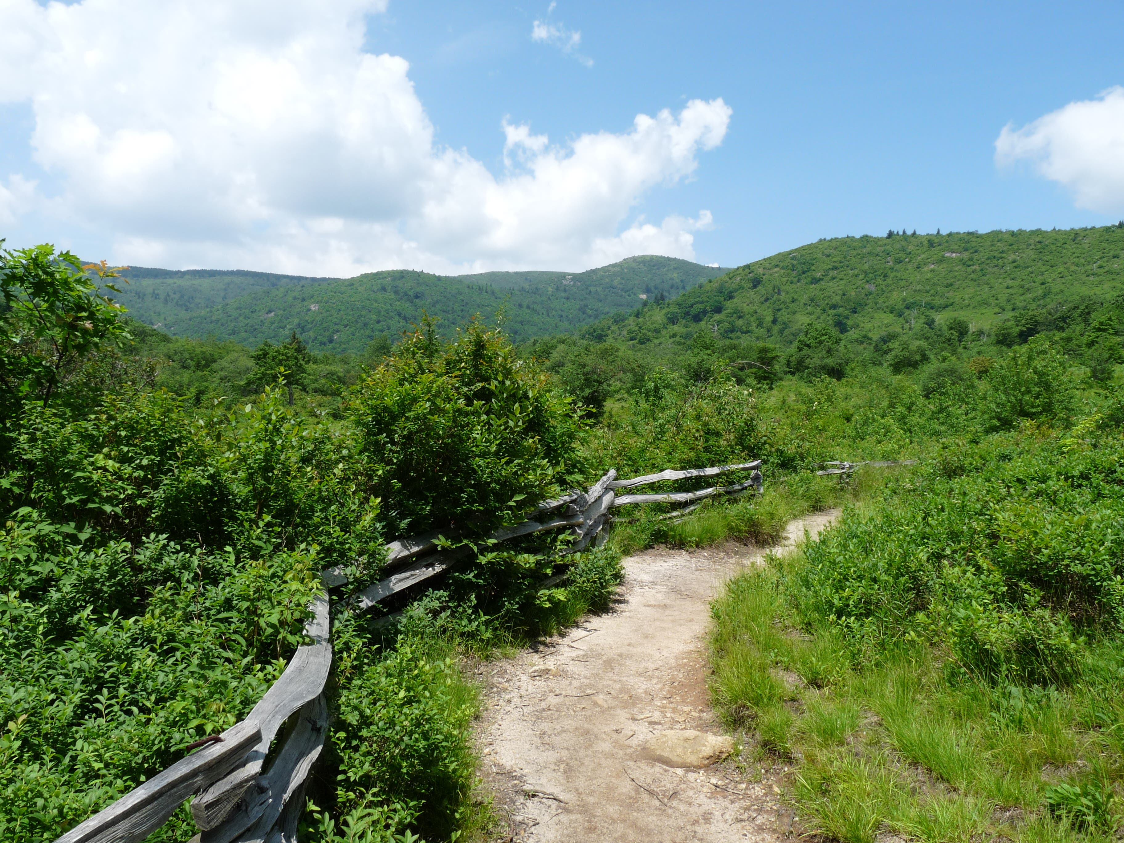
Pull into the parking lot at mile 419 of the Blue Ridge Parkway and head north on the paved walkway. Cross the Yellowstone Prong and turn left onto the blue-blazed trail: your 9.8-miler begins with a jaunt through the sweeping Graveyard Fields, named after the rows of moss-covered, grave-like stumps that once peppered the meadows’ grassy confines. A rare low-elevation bald surrounded by higher, vegetation-covered ridges, Graveyard Fields is home to a multitude of blackberry and blueberry shrubs that attract throngs of visitors in the late summer and fall. Hike gently uphill before turning left and into a tunnel of trees swinging west along Graveyard Ridge.
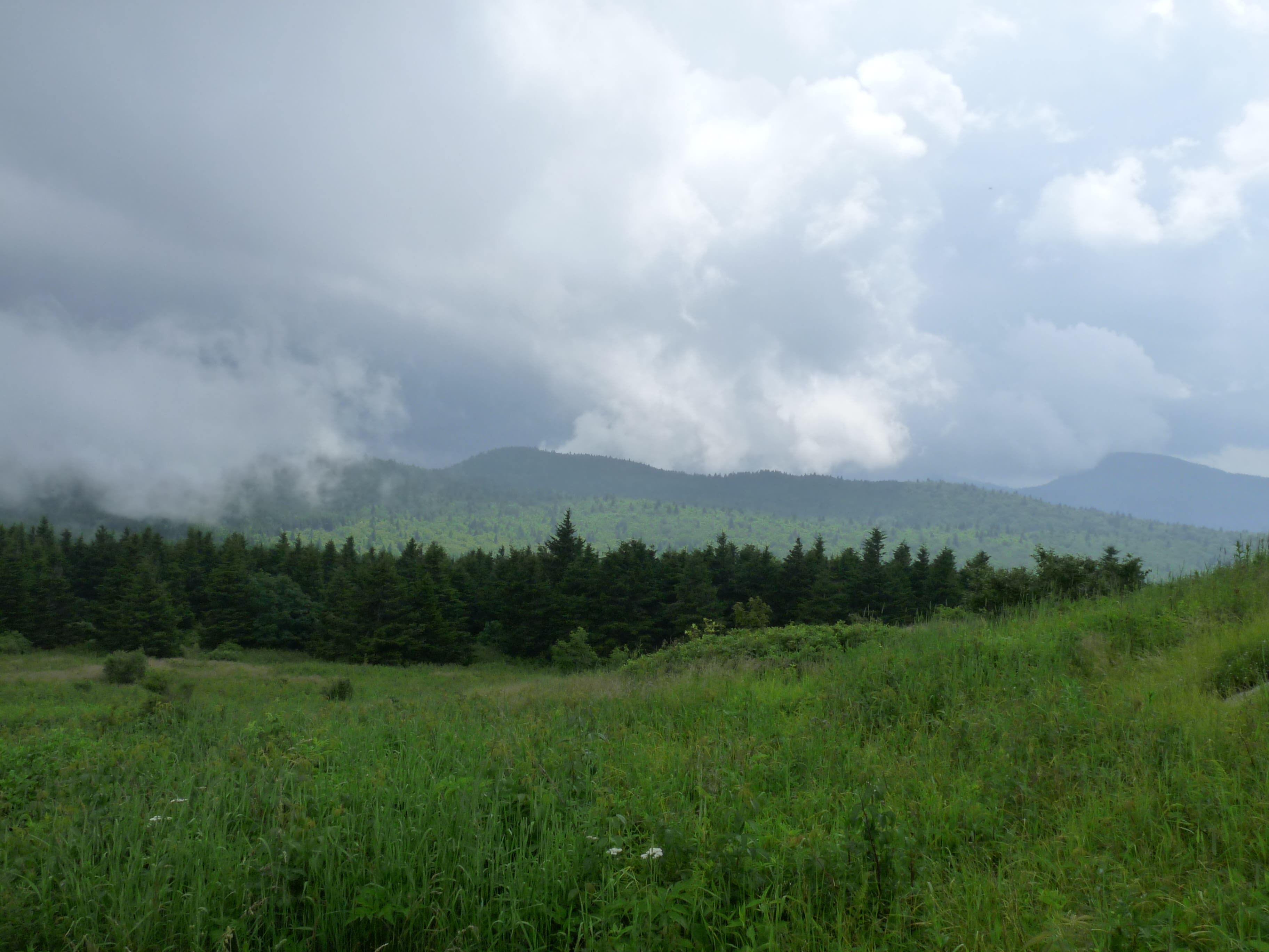
Trace the contour of the Ridge until hitting a junction with the Mountains-To-Sea Trail, which you’ll follow west for a steep climb to the top of Balsam Knob. Break free from the trees and traverse Balsam’s exposed spine on the Art Loeb Trail to gain expansive panoramas of the surrounding ridge country: Sam Knob, Little Sam Knob and Fork Ridge backdropped by the Smokies to the west; Tennent Mountain to the north; Ivestor Ridge and Graveyard Ridge sliding into the Pigsah National Forest to the east.
After cresting Balsam’s peak (6,124 feet), head north for more endless panoramas from Tennent Mountain before dropping into the idyllic Ivestor Gap. Primo campsites are available around the gap, but water sources are only reliable here after heavy rain (the next constant water source is Yellowstone’s Dark Prong, 0.8 mile further). Push into the Shining Rock Wilderness and savor spectacular down-valley views of the wooded slopes between Ivestor Ridge and Grassy Cove Ridge. After crossing the Dark Prong, return to the junction just below Black Balsam Knob. Close the hike’s loop section by picking up the stretch of Graveyard Ridge Trail you hiked in on. Conclude your hike with a quick splash in the Yellowstone Prong’s Lower Falls before returning to the trailhead.
-Mapped by John Thomas


Trail Facts
- Distance: 15.8
Waypoints
BBK001
Location: 35.320439, -82.846919
Park at the Graveyard Fields Overlook and head north on the paved walkway.
BBK002
Location: 35.321866, -82.847353
Cross the Yellowstone Prong and turn left onto the blue-blazed Graveyard Fields Loop.
BBK003
Location: 35.32201, -82.850685
Turn right onto the yellow-blazed Graveyard Ridge Connector Trail to climb away from Graveyard Fields.
BBK004
Location: 35.324019, -82.851259
At junction, look for yellow blazes to continue hiking toward Graveyard Ridge.
BBK005
Location: 35.32598, -82.853018
Turn left at the orange-blazed Graveyard Ridge Trail.
BBK006
Location: 35.329149, -82.866515
Turn left on the Mountains-To-Sea Trail to begin climbing toward Black Balsam Knob. The trail here is steep and overgrown with low-lying vegetation.
BBK007
Location: 35.325472, -82.871042
Catch your breath while enjoying views of the countryside below.
BBK008
Location: 35.324194, -82.873875
Cross the Yellowstone Prong for a second time.
BBK009
Location: 35.320763, -82.876171
The Mountains-To-Sea Trail connects with Fire Road 816 here. Bear right to pick up the Art Loeb Trail and continue heading north toward Black Balsam Knob. Turning left brings you to a parking lot and alternate trailhead on Black Balsam Knob Road, just off the Blue Ridge Parkway.
BBK010
Location: 35.322216, -82.875763
Break through the trees to hit the exposed Black Balsam Knob.
BBK011
Location: 35.327906, -82.874454
Hit the peak of Black Balsam Knob (6,124 feet).
BBK012
Location: 35.336974, -82.869176
Roll over the peak of Tennent Mountain (6,040 feet) while heading east on the Art Loeb Trail.
BBK013
Location: 35.340895, -82.868081
After heavy rain, you can filter water from this shallow source.
BBK014
Location: 35.34506, -82.867159
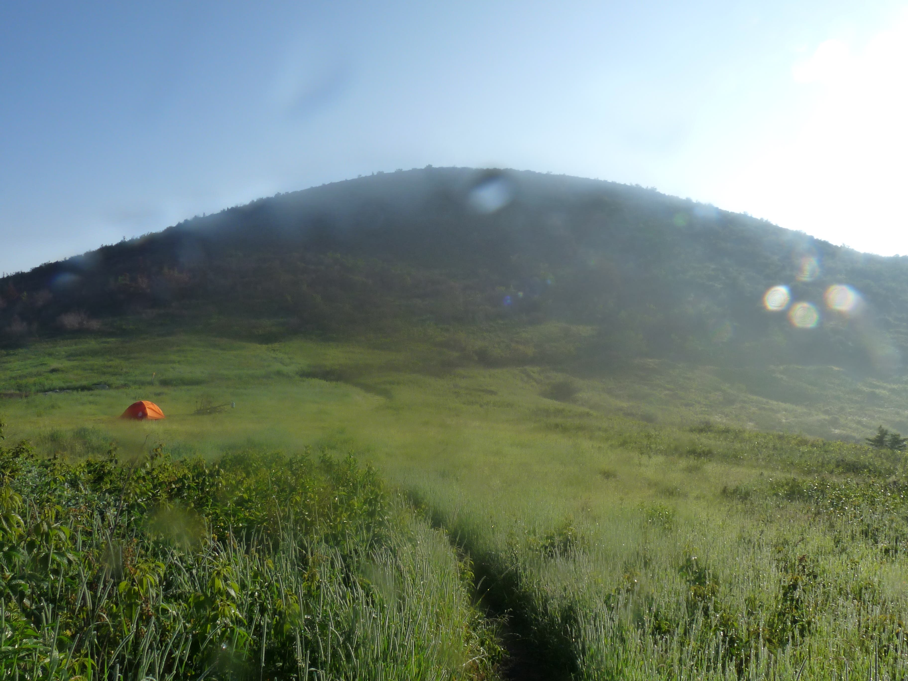
Prime campsites are available in the picturesque Ivestor Gap.
BBK015
Location: 35.345375, -82.867373
At the sign marking the border of the Shining Rock Wilderness, turn right onto the wide Graveyard Ridge Trail.
BBK016
Location: 35.344885, -82.862213
At the Y-junction, make a sharp right to stay on the Graveyard Ridge Trail.
BBK017
Location: 35.332387, -82.868961
Fill up your water bottles for the hike’s home stretch at the tranquil Dark Prong.
BBK018
Location: 35.329245, -82.866531
At four-way junction, continue on the Graveyard Ridge Trail by taking the middle fork. The right fork leads back up to Black Balsam Knob and the left fork follows the Mountains-To-Sea Trail to Graveyard Ridge.
BBK018
Location: 35.322181, -82.847648
At Y-junction, turn left to take a quick side-trip to the Yellowstone Prong’s Lower Falls. Turning right leads to parking lot.
Trailhead
Location: 35.320316, -82.847153
Pick up the trail from the north side of the Blue Ridge Parkway.
Yellowstone Prong
Location: 35.321866, -82.8473
Cross the Yellowstone Prong at mile 0.1
Graveyard Fields
Location: 35.321625, -82.849295
Heading west through the Graveyard Fields.
Climbing Toward Graveyard Ridge
Location: 35.324745, -82.851631
Graveyard Ridge Trail
Location: 35.32394, -82.857597
Walk through a tunnel of trees on the Graveyard Ridge Trail.
Mountains-To-Sea Trail Junction
Location: 35.329044, -82.86629
Turn left on the Mountains-to-Sea Trail to begin climbing toward Black Balsam Knob.
Nearing The Top
Location: 35.32626, -82.870667
Climbing toward Black Balsam Knob.
Ridge Views
Location: 35.325683, -82.870839
Gain revealing vistas of the lush countryside below as you climb toward Black Balsam Knob.
Approaching Black Balsam Knob
Location: 35.324772, -82.871268
Gain increasingly revealing panoramas of the tree-topped countryside as you climb toward Black Balsam Knob.
Black Balsam Knob
Location: 35.323584, -82.876954
Rolling meadows bordered by a wall of pines comprises the inviting Black Balsam Knob.
Looking West
Location: 35.324089, -82.877083
Looking west toward Sam Knob and Little Sam Knob backdropped by the Fork Ridge.
Black Balsam Knob
Location: 35.32359, -82.876976
Strips of rock sneak through the grassy meadows atop Black Balsam Knob.
Looking Northwest From Black Balsam Knob
Location: 35.326908, -82.876312
Looking North
Location: 35.327451, -82.874637
Looking north along Black Balsam Knob.
Vista From Peak Of Black Balsam Knob
Location: 35.327976, -82.874336
Art Loeb Trail
Location: 35.330777, -82.875323
Black Balsam Knob
Location: 35.336098, -82.872791
Panoramas of the surrounding ridges are numerous from the knob.
Ridge Country Panoramas
Location: 35.337674, -82.865367
Notch more panoramas of the surrounding ridge country while descending from Tennents Peak.
Thick Foliage
Location: 35.337534, -82.864637
Brush through thick foliage while descending from the peak of Tennent Mountain.
Campsite
Location: 35.343341, -82.867759
Since this route lies entirely within National Forest land, camping is available everywhere except within 500 feet of a road or in areas marked close with signs.
Tennent Mountain
Location: 35.345196, -82.867169
Looking south toward Tennent Mountain from Ivestor Gap.
Ivestor Gap
Location: 35.344955, -82.867126
Notch spectacular views from Ivestor Gap. Prime campsites are available here.
East Of Ivestor Gap
Location: 35.345235, -82.86438
Valley View
Location: 35.340947, -82.865903
Look east for spectacular views of the valley nestled between Ivestor Ridge and Grassy Cove Ridge.
Dark Prong
Location: 35.332317, -82.868671
Fill up water bottles at this tranquil creek before hitting the home stretch.
Lower Falls
Location: 35.322374, -82.846377
Take a quick side-trip to the Lower Falls of the Yellowstone Prong before returning to the car.