Arches National Park: Tower Arch-Marching Men

This lollipop loop tours the Klondike Bluff area in the northwest section of Arches National Park. A forest of sandstone pinnacles and an eroding sandstone fin give names to the trips highlights—the 92-foot by 43-foot opening of Tower Arch and a phalanx of spires known as the Marching Men.
From the parking area, 22 miles from the park entrance, follow the marked trail west as it climbs a short, steep, hill and descends into a wash before turning north for a 0.3-mile sand-hill climb toward Tower Arch. Cliff walls, pinnacles, drainages, and ledges surrounding the park’s 6th largest arch (there are around 2,200 others) are a veritable playground, so plan to spend extra time exploring, basking in the shade cast by the sandstone, and taking pictures before backtracking south.
To finish the loop around the stratified Marching Men pinnacles, follow a sandy wash 0.4-mile and turn east off trail. Pick your way over slickrock below the Marching men toward a low pass that leads north and intersects the original trail less than 0.5 mile west of the trailhead.
Note: Stay on slickrock for this cross-country section of the trip. Even a single footprint on the desert’s fragile biological soil crust—cryptos to the locals—can severely damage it. Learn more about soil crust at www.soilcrust.org.
-Mapped by Steve Howe
TO TRAILHEAD: From US 191 (5 miles north of Moab), turn north into Arches National Park and drive 16.2 miles on the Arches Entrance Road. Turn left onto the unsigned, gated gravel road about 0.3 mile past the Sand Dune Arch Trail. Follow the well-graded dirt road through Salt Valley for approximately 7.2 miles, continuing straight past the first left-hand turn. Turn left onto the second 4WD road and go 1.1 miles to the signed Klondike Bluffs Trailhead.


Trail Facts
- Distance: 5.6
Waypoints
TWR001
Location: 38.7923508, -109.6753159
The signed Tower Arch Trailhead has space for several cars and a pit toilet. The trail begins on the west side of the parking area and climbs steeply to the southwest.
TWR002
Location: 38.7874489, -109.6762161
After crossing a saddle with western views across the Entrada sandstone fins, begin an open descent that crosses a sandy wash.
TWR003
Location: 38.7884331, -109.6873856
Continue straight at this trail junction to continue to Tower Arch. This westbound trail leads 0.3 mile to the end of Tower Arch Road, a rough 4WD road that offers an alternative (and much shorter) approach to the arch.
TWR004
Location: 38.7889328, -109.687233
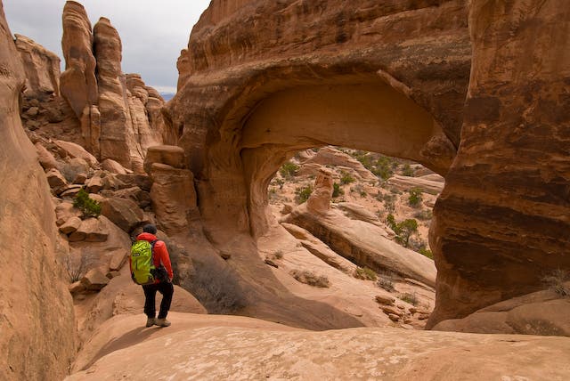
The 6th largest arch in the park, the covering over Tower Arch’s 92-foot by 43-foot opening casts a huge, cool, shadow that is a welcome respite to hikers. Good scrambling abounds around the arch and its surrounding ledges.
TWR005
Location: 38.7881508, -109.6869507
You can find a second impressive arch, Parallel Arch, by exploring above and to the east of the trail.
TWR006
Location: 38.7855835, -109.6843338
Turn right at the broad sandy wash and hike 0.4 mile south to begin a dog-legged loop around the eroding sandstone fin known as the Marching Men pinnacles.
TWR007
Location: 38.7804985, -109.6847839
Pick your way across slanted slickrock around the southwest end of Marching Men. Stay on the slickrock-and off the biological soil crust-while following the line of least resistance around the pinnacles’ base.
TWR008
Location: 38.7866325, -109.6775513
Cross this low pass at the north end of Marching Men and walk north to intersect the approach trail within half a mile of the trailhead.
Road to Klondike Bluffs Trailhead
Location: 38.7960052, -109.6587038
Turn left at the second 4WD road and go 1.1 miles to the signed Klondike Bluffs Trailhead. Note: Do not turn onto the first 4WD road.
Hiker at Tower Arch
Location: 38.788914, -109.6871674
©Steve Howe
Cairn
Location: 38.7873167, -109.6866953
The trail to Tower Arch is marked by cairns as it traverses slickrock. ©Steve Howe
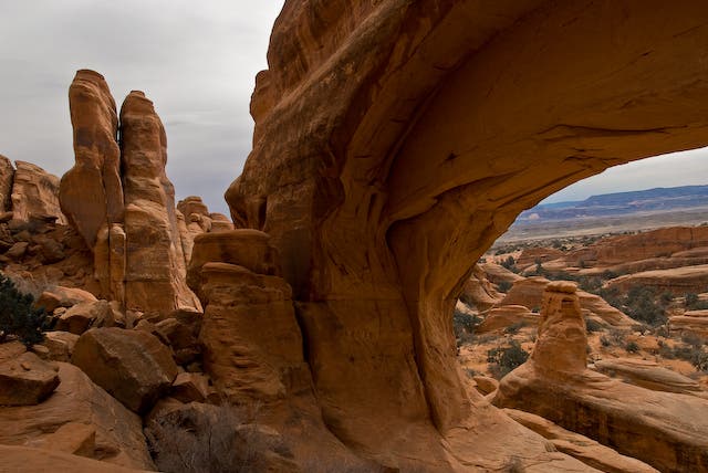
Western View
Location: 38.788914, -109.687103
Looking west through Tower Arch’s opening. ©Steve Howe
Sunset
Location: 38.7923343, -109.6752906
Pinon silhouettes and a colorful desert sky in this remote section of Arches National Park make for striking sunsets, even from the trailhead. ©Steve Howe
The Tower
Location: 38.7888806, -109.6870494
The sandstone pinnacle found in this canyon gives this arch its name. ©Steve Howe
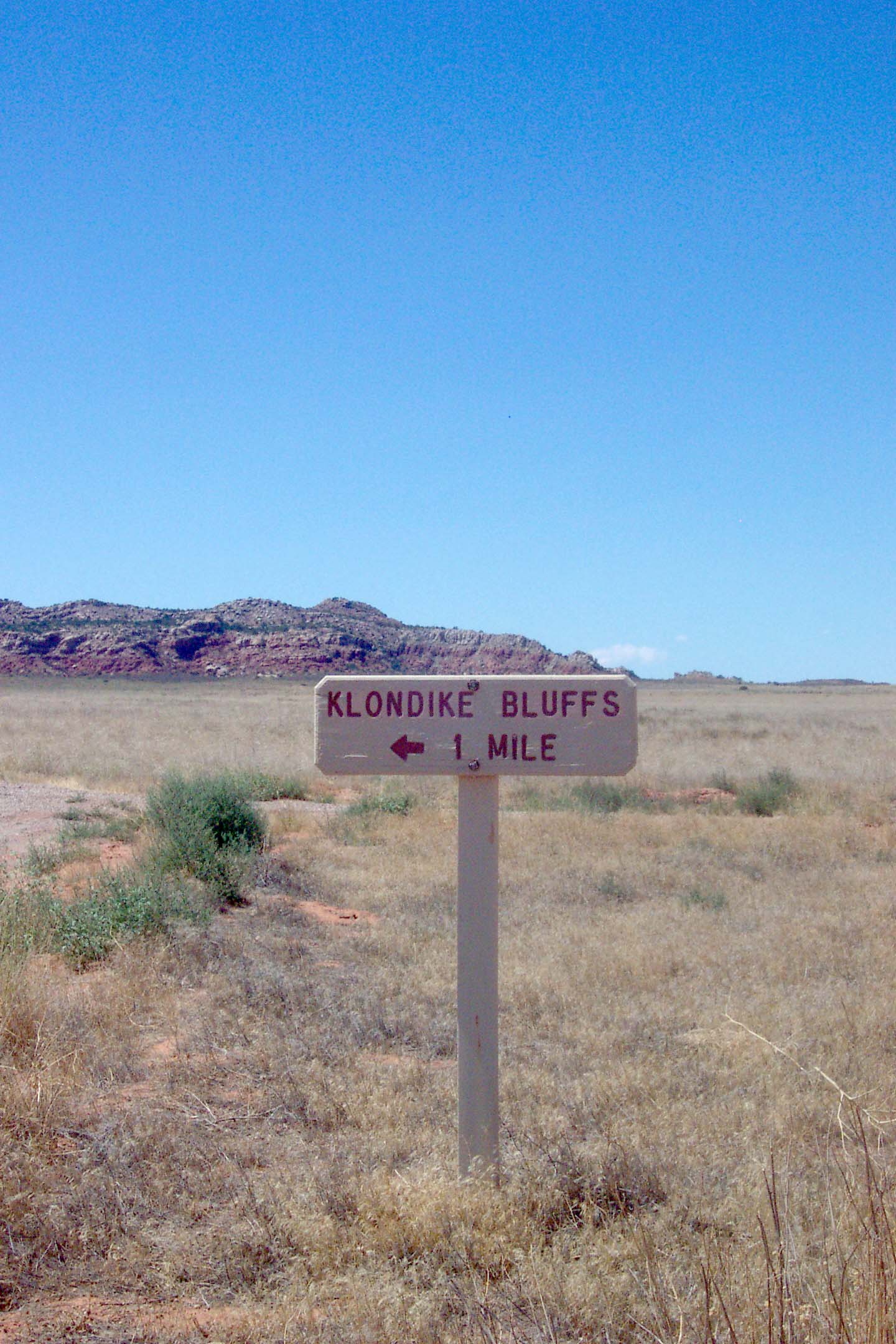
Klondike Bluff Sign
Location: 38.7958045, -109.6585321
This sign points toward the Klondike Bluff Trailhead, the starting point for this trip.