Arches National Park: Delicate Arch

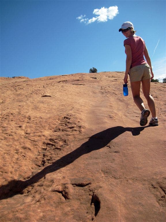
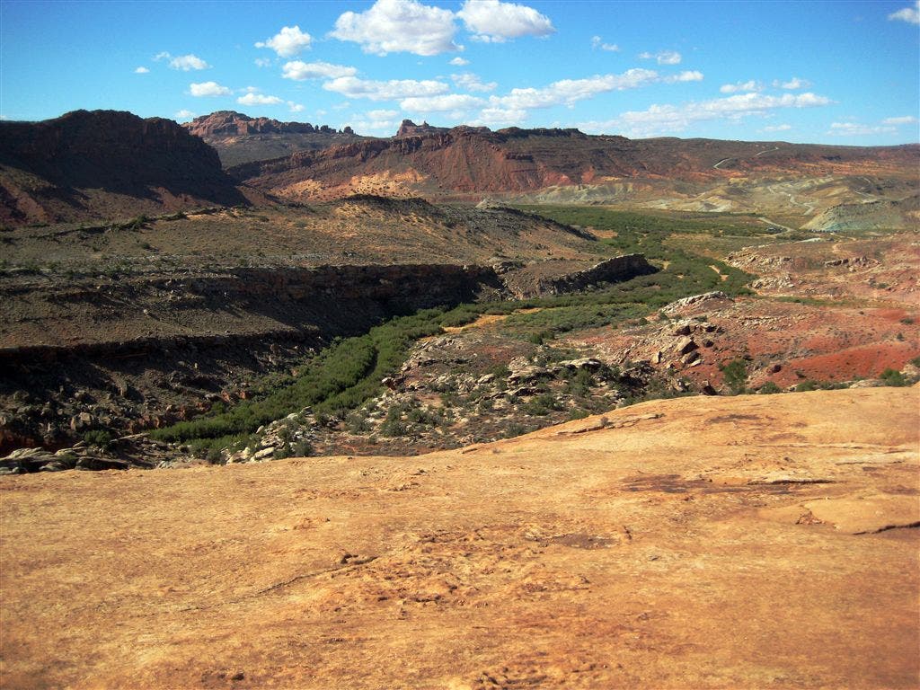
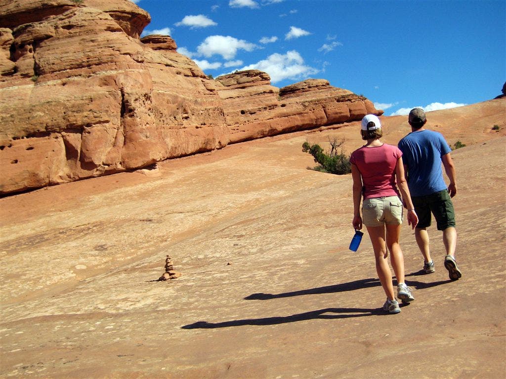
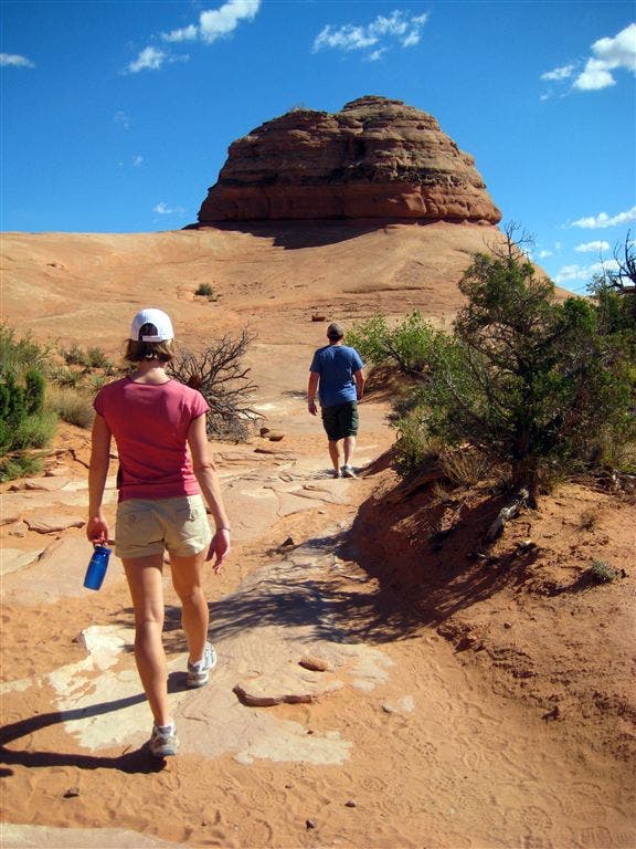
Add this classic 3.1-miler to your list of must-do hikes in Arches National Park. From the large parking area, follow the well-maintained Delicate Arch Trail to the northeast, passing a spur trail to the Wolfe Ranch cabin on the left. Desert scrub, stunted pinon, and ruddy rock formations flank the trail as you gently climb above Winter Camp Wash. After 0.8 mile, the route ascends a massive slickrock outcropping dotted with cairns. Don’t forget to turn around every once in a while for striking views to the southwest of ruddy cliffs and mountains.
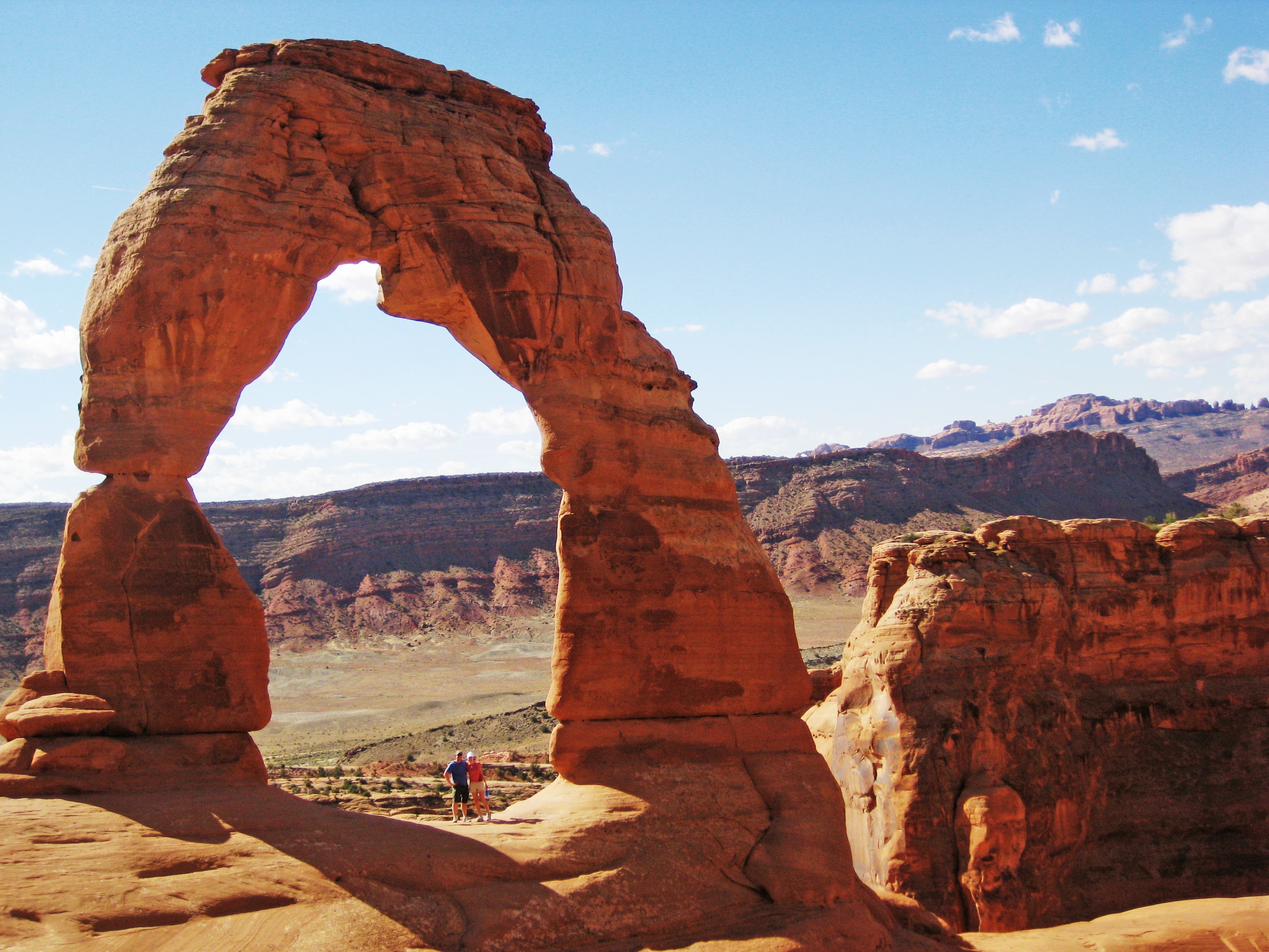
At the top of the slickrock ramp, head north for a slight descent into a sandy wash dotted with pinon, juniper, and sandstone rock formations. At mile 1.4, traverse a narrow, slickrock catwalk cut into the walls of the cliff. (Sandstone rock formations tower above the wash on the left-hand side of the trail.) Delicate Arch comes into view 0.1 mile later—drop your packs and savor incredible views of this natural sandstone arch, which rises in front of the Cache Valley and the La Sal Mountains. Follow the same route back to the trailhead.
-Mapped by Kim Phillips, Maribeth Oscamou, and Matt Oscamou
Trail Facts
- Distance: 5.0
Waypoints
DEL001
Location: 38.7356489, -109.5204735
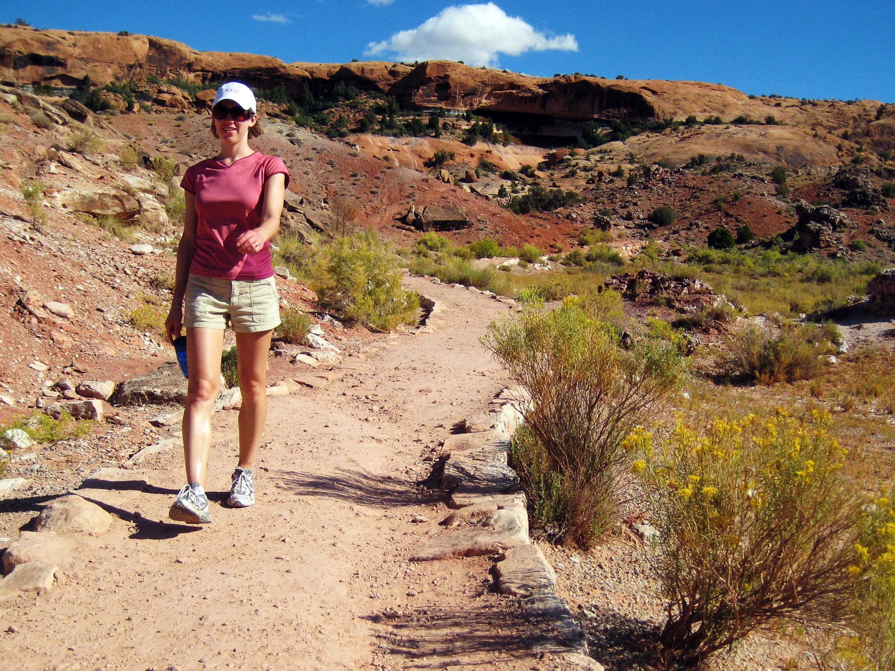
From the large parking area, follow Delicate Arch Trail (a wide dirt path) to the northeast. In roughly 350 feet, pass a spur trail on the left that leads to the Wolfe Ranch cabin.
DEL002
Location: 38.7364006, -109.5192032
Cross a steel footbridge over Salt Wash, then continue northeast on trail flanked by desert scrub and ruddy rock formations.
DEL003
Location: 38.7382011, -109.5139008
The gentle climb continues, heading northeast above Winter Camp Wash.
DEL004
Location: 38.7402306, -109.5121002
The trail curves to the right and winds to the east toward a massive slickrock outcropping.
DEL005
Location: 38.7404785, -109.5098038
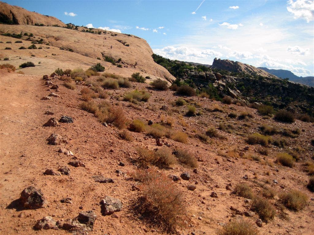
Follow the cairns up this expansive slickrock ribbon. Don’t forget to turn around for striking views of the ruddy cliffs and mountains that rise to the southwest.
DEL006
Location: 38.7418165, -109.5052171
At the top of the slickrock ramp, head north for a slight descent into a sandy wash dotted with stunted pinon and juniper.
DEL007
Location: 38.7437515, -109.5037994
The trail winds through a wash punctuated by sandstone rock formations.
DEL008
Location: 38.7441847, -109.5020843
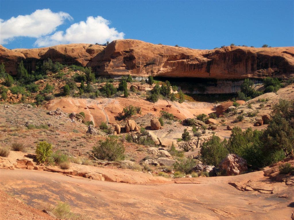
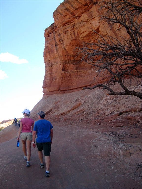
Hike along a narrow, slickrock catwalk that’s cut into the walls of the cliff. Photo op: Snap photos of the sandstone rock formations that tower above the wash on the left.
DEL009
Location: 38.7439504, -109.4993484
Delicate Arch: Drop your packs and savor incredible views of Delicate Arch from this small sandstone amphitheater. This iconic landmark (featured on Utah’s license plate) rises in front of the Cache Valley, the La Sal Mountains, and red rock canyons. Retrace your steps to the trailhead.
Delicate Arch
Location: 38.7439002, -109.4992626
Delicate Arch Trail
Location: 38.7364272, -109.5182312
Red Rock Cliffs
Location: 38.7368279, -109.5176086
Desert Views
Location: 38.7403019, -109.5116758
Slickrock Outcropping
Location: 38.7404943, -109.5084465
Views across Winter Camp Wash
Location: 38.7407287, -109.5067835
Slickrock
Location: 38.7430383, -109.5046055
Sandy Wash
Location: 38.7440173, -109.5035756
Slickrock Ledge
Location: 38.744147, -109.5019394