Arches National Park: Balanced Rock

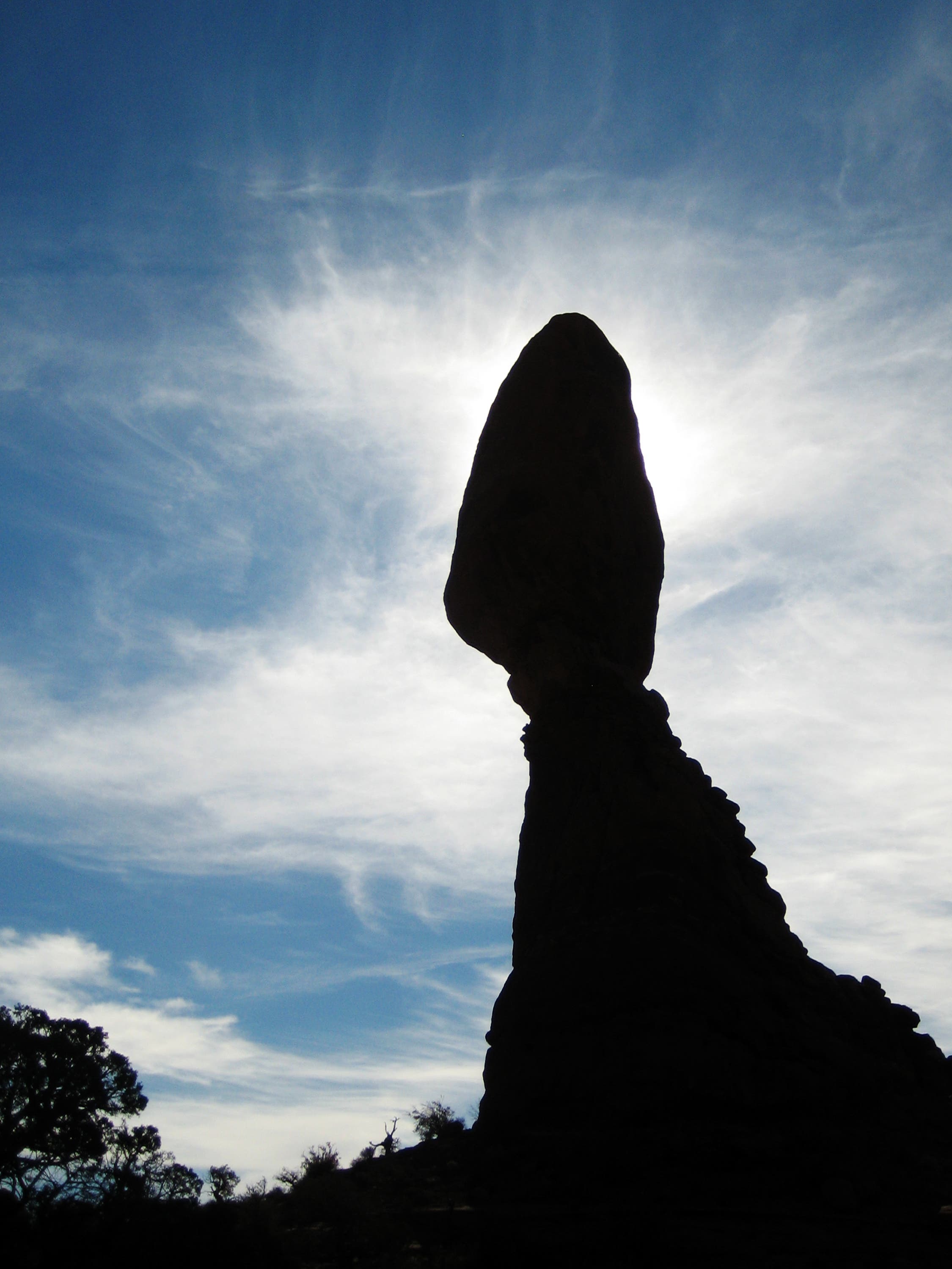
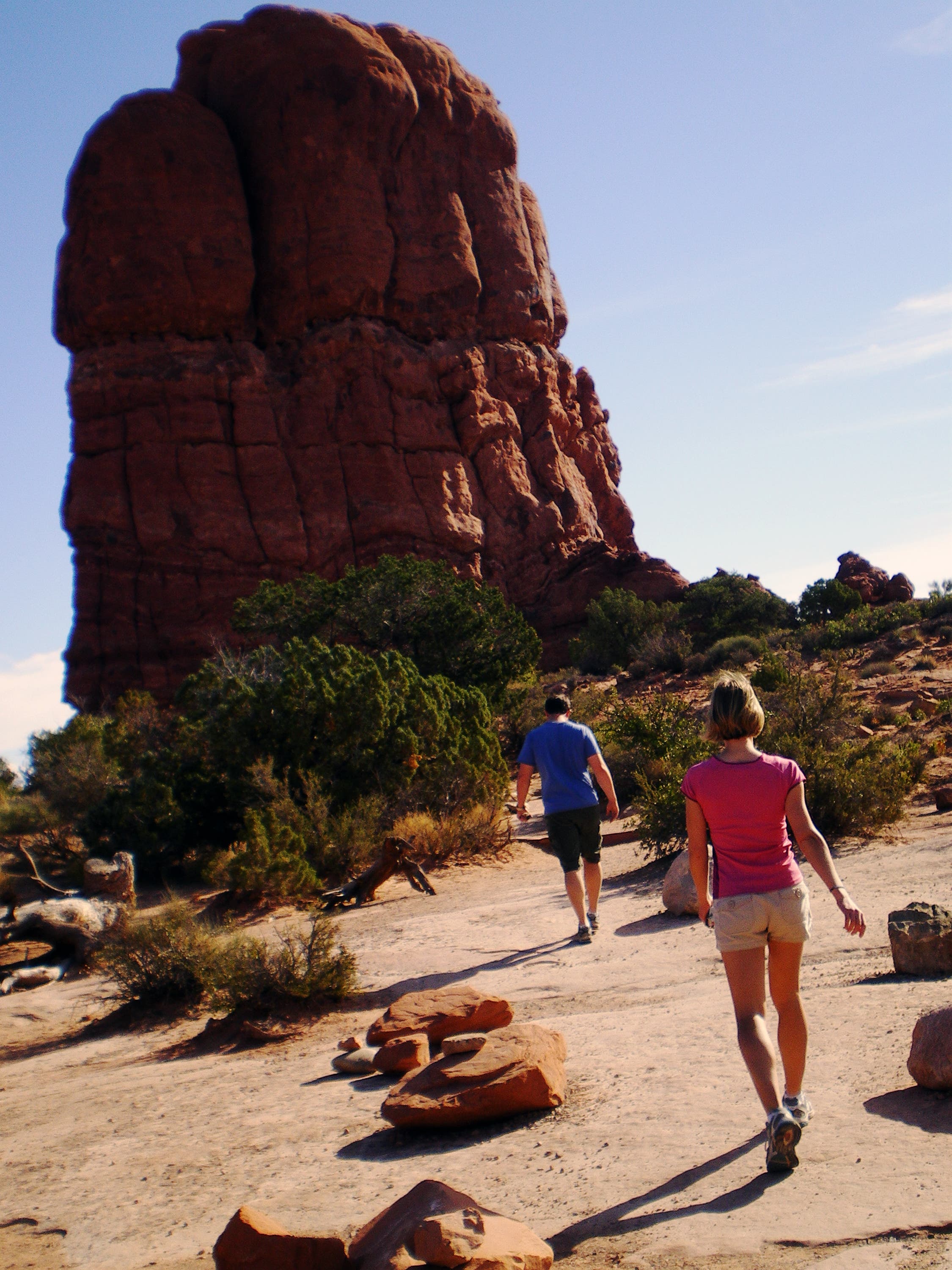
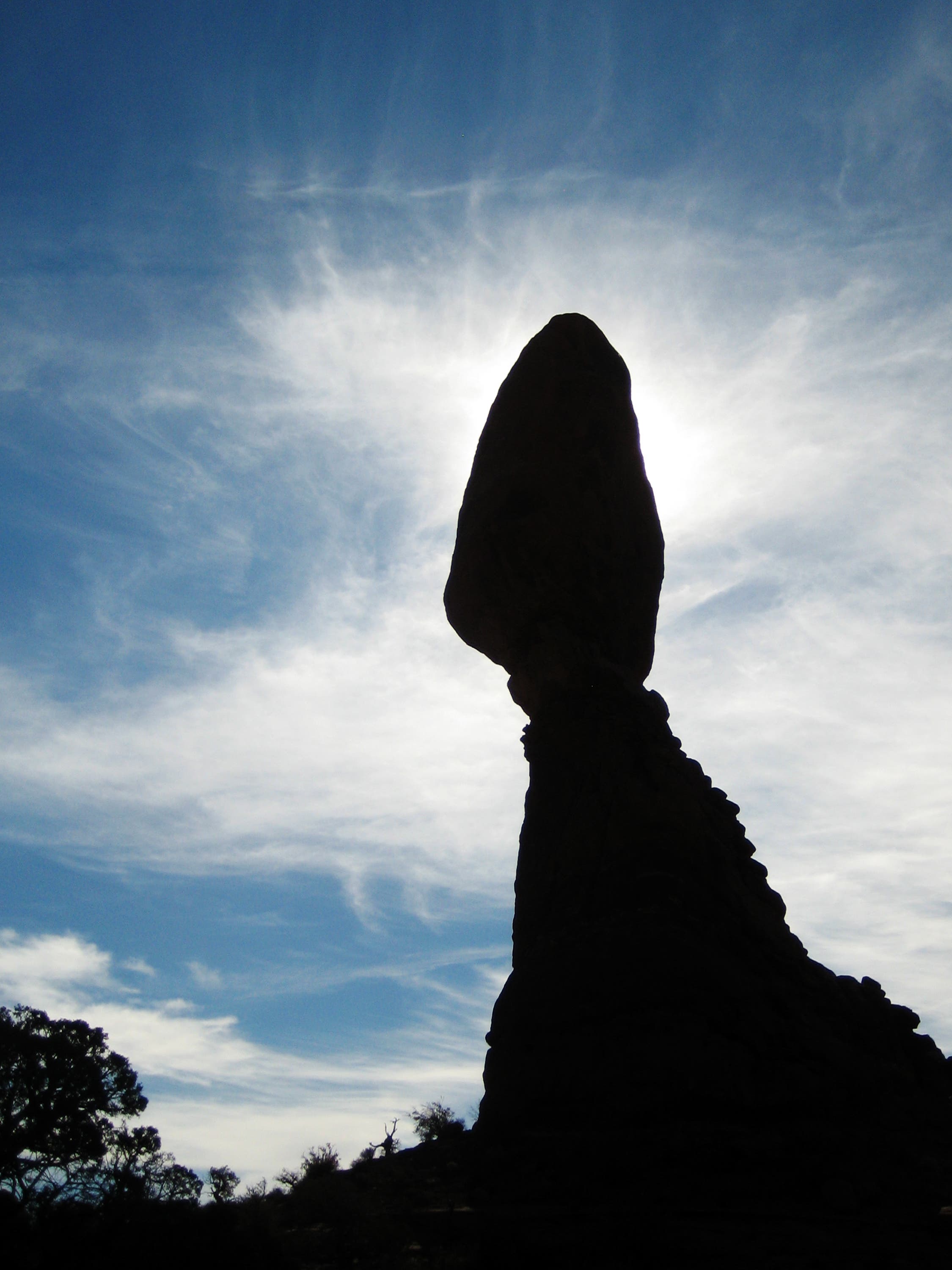
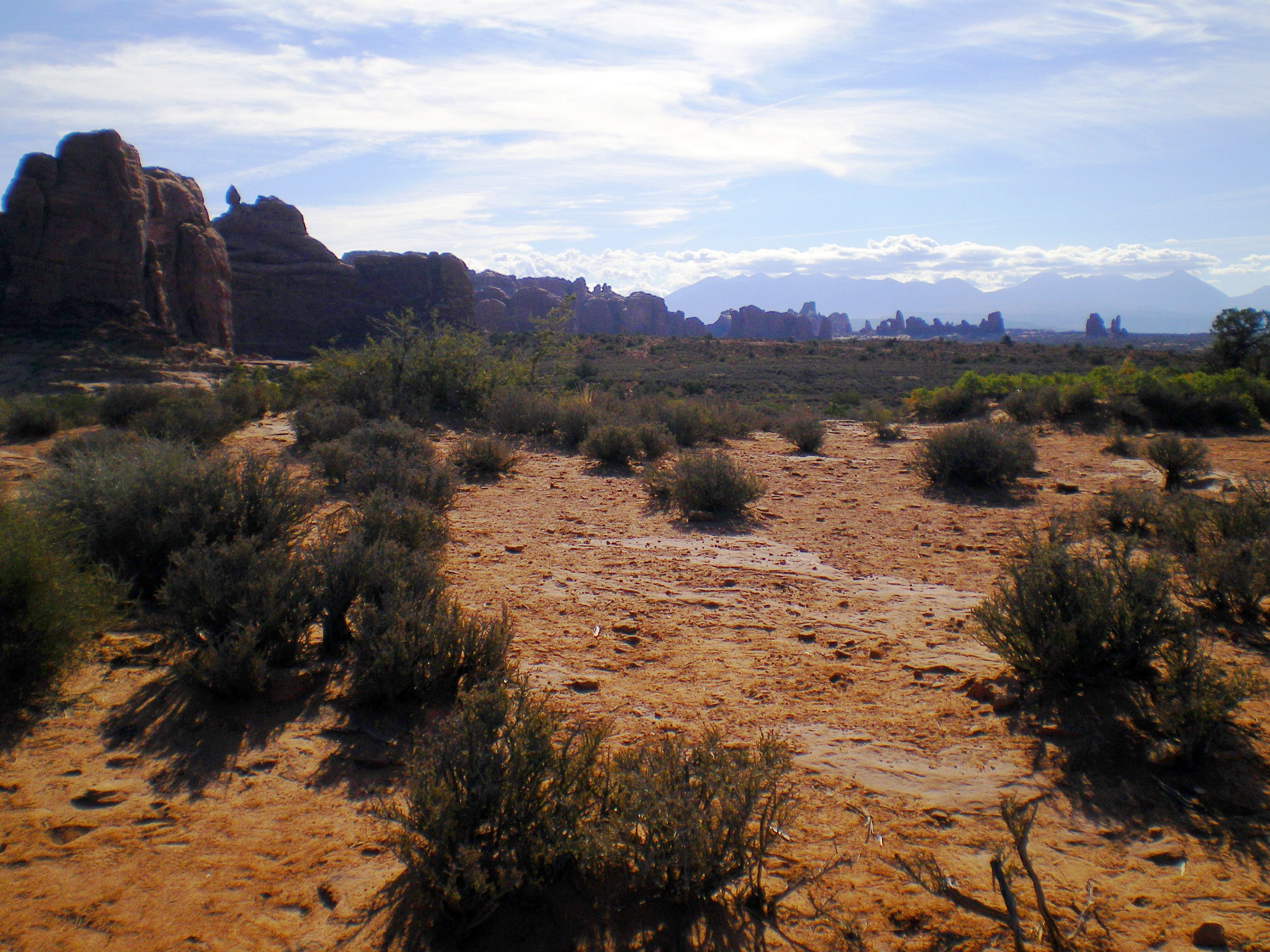
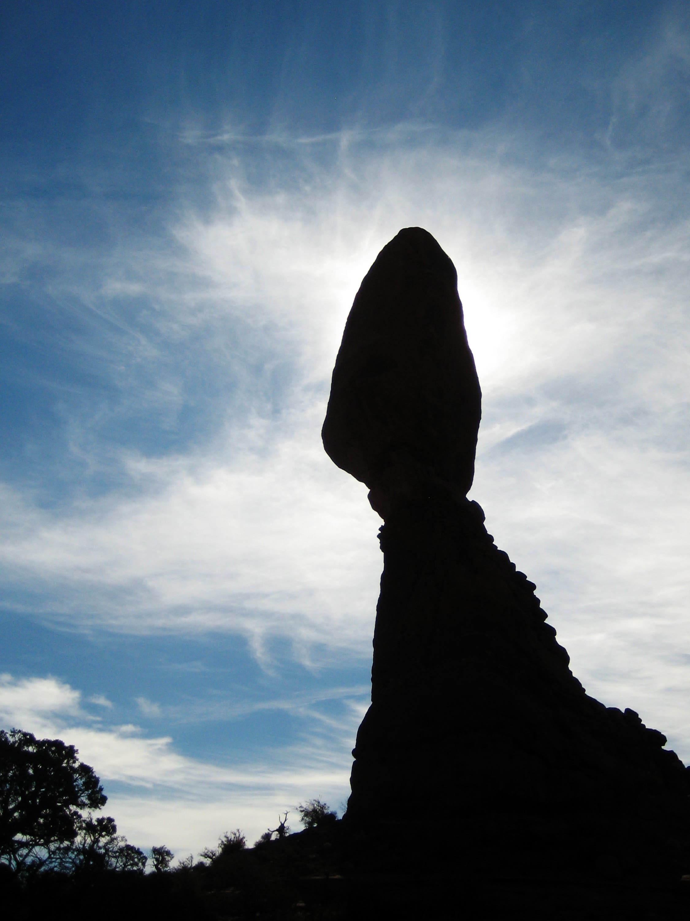
It’s easy to fit this scenic, 0.3-mile loop into your tour of Arches National Park. From the small lot next to Arches National Park Road (9 miles from highway 191), walk southeast on the paved, wheelchair-accessible path. An interpretive sign at the trailhead explains the geology of the aptly-named Balanced Rock, which resembles an enormous, egg-shaped rock formation perched on top of a sandstone pinnacle. After 200 feet, bear left at the Y-junction onto a dirt path that winds to the east along the base of Balanced Rock. Keep your camera handy, you’ll find constant views of sandstone rock spires and distant mountains that rim the desert floor. At mile 0.2, turn right at a small viewing area and head northwest. The trail reconnects with the paved path and leads back to Waypoint 2 and the parking lot.
-Mapped by Kim Phillips, Maribeth Oscamou, and Matt Oscamou
Trail Facts
- Distance: 0.5
Waypoints
BAL001
Location: 38.70176, -109.566
From the parking area, walk southeast on the paved path (wheelchair accessible). Stop at the interpretive sign on the left to read about the geology of Balanced Rock.
BAL002
Location: 38.7015122, -109.5654488
Bear left @ Y-junction onto a dirt path that winds to the east. Note: To stay on the paved, wheelchair-accessible path, bear right at the trail fork.
BAL003
Location: 38.70149, -109.5646
Hike up a series of steps. The trail rounds to the southeast along the base of Balanced Rock. Keep your camera handy, sandstone rock spires and distant mountains rim the desert floor.
BAL004
Location: 38.7003484, -109.5646334
Turn right at the small viewing area, heading northwest. Ahead, the trail reconnects with the paved path and leads back to Waypoint 2 and the parking lot.
Balanced Rock
Location: 38.7016964, -109.5658994
© Kim Phillips
Balanced Rock Trail
Location: 38.7015457, -109.5651269
© Kim Phillips
Balanced Rock
Location: 38.7014452, -109.5643973
© Kim Phillips
Desert Views
Location: 38.7011941, -109.5643651
© Kim Phillips
Cairns
Location: 38.7009429, -109.5642257
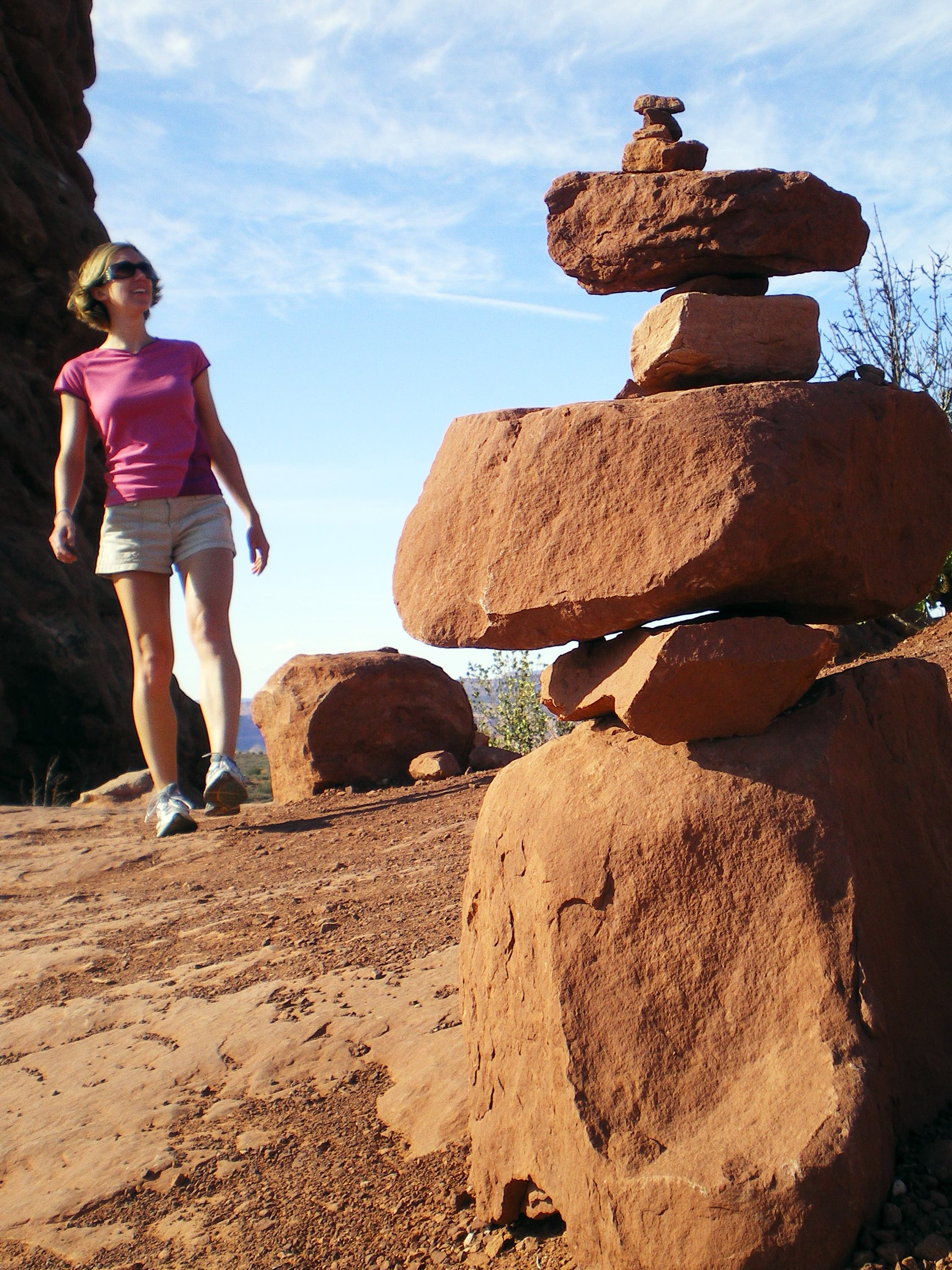
The path is lined with cairns. © Kim Phillips
Balanced Rock
Location: 38.7007335, -109.5651376
© Kim Phillips