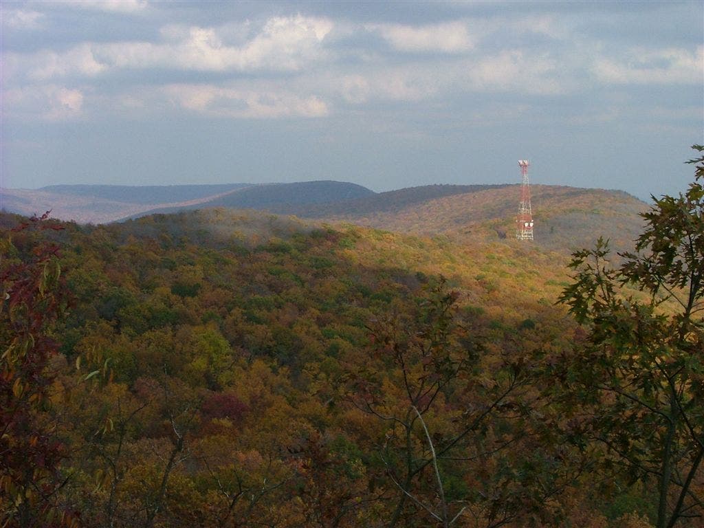
Appalachian Trail: Wind Gap to Delaware River Bridge

Shelters: Kirkridge Shelter; sleeps 6.

Trail Facts
- Distance: 24.7
Waypoints
WPT015A
Location: 40.8615036, -75.2949524
Wind Gap: AT turns E on PA 512 under PA 33 before turning L at AT sign. and parking area
WPT010
Location: 40.9139519, -75.2327652
AT turns E
WPT014
Location: 40.9590988, -75.1286469
Vista
WPT001
Location: 40.9367332, -75.1864319
Kirkridge Shelter – Nice brand new shelter with covered cooking and sitting area.
WPT002
Location: 40.9798851, -75.1417007
Parking; Turn R on Mountain Rd.
WPT007
Location: 40.9284325, -75.2183304
Powerline
WPT007
Location: 40.9740334, -75.1386032
Council Rock
WPT019
Location: 40.9483833, -75.1634674
Two telephone lines
WPT022
Location: 40.9369659, -75.1852188
Trail to Kirkridge Shelter
WPT021
Location: 40.9379044, -75.1831436
Nelson Overlook
WPT015
Location: 40.9491158, -75.1569366
Carefully look for white blazes; site of hang glider and paraglider launches
WPT018
Location: 40.9486656, -75.1619797
Delaware Water Gap
WPT001
Location: 40.9832001, -75.1403656
AT turns E onto Waring Dr. (roadwalk ahead). Note: Turn W to head into Delaware Water Gap; You’ll find a farmer’s market, the Trail End Cafe, and The Pack Shack (backpacking gear, supplies, and minor gear repairs, too)
WPT016
Location: 40.948101, -75.1605301
Radio tower
WPT005
Location: 40.9761009, -75.1397476
AT turns E on paved road
WPT012
Location: 40.9635162, -75.1283798
AT turns L
WPT003
Location: 40.9362183, -75.1873703
Trail to Kirkridge Shelter
WPT005
Location: 40.9353485, -75.1967697
PA 191; Fox Gap
WPT004
Location: 40.979084, -75.1406326
Lake Lenape
WPT009
Location: 40.9686012, -75.1354675
Trail to V; AT turns W
WPT011
Location: 40.9638824, -75.1293182
Trail
WPT017
Location: 40.9484482, -75.1617203
Tots Gap
WPT004
Location: 40.9360161, -75.1898193
Telephone line
WPT013
Location: 40.9599495, -75.1287003
Old fire tower site
WPT006
Location: 40.9750519, -75.1388702
View of Delaware River Bridge & gap
WPT020
Location: 40.9435005, -75.1771011
Lunch Rocks
WPT009
Location: 40.9253159, -75.2214966
Rocky scramble to Wolf Rocks; view to ENE
WPT008
Location: 40.9678841, -75.1371689
Eureka Creek
DSCF0756
Location: 40.9434662, -75.1769333