Appalachian Trail: VT 140 to Kent Pond

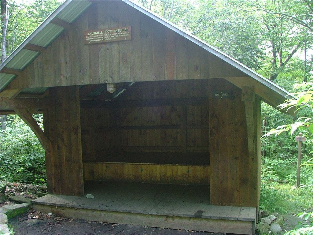
Shelters: Minerva Hinchey Shelter; sleeps 10. Clarendon Shelter; sleeps 10. Governor Clement Shelter; sleeps 12. Churchill Scott Shelter; sleeps 8.



Trail Facts
- Distance: 42.1
Waypoints
WPT013
Location: 43.5648498535156, -72.8478012084961
Jeep road, leads to Gov. Clement Shelter
WPT010
Location: 43.5648498535156, -72.8495864868164
Stream (Sargent Brook)
WPT012
Location: 43.4642677307129, -72.9355010986328
Blue-blaze trail
WPT004
Location: 43.6736488342285, -72.8470687866211
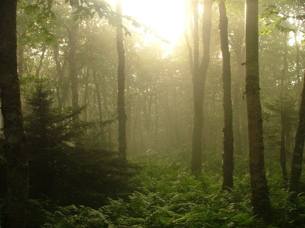
Beautiful forest; Stark white birch reaching out of lush growth of jewelweed
WPT028
Location: 43.5246315002441, -72.9053192138672
Beacon Hill; Beacon Tower on top
WPT020
Location: 43.511116027832, -72.9274978637695
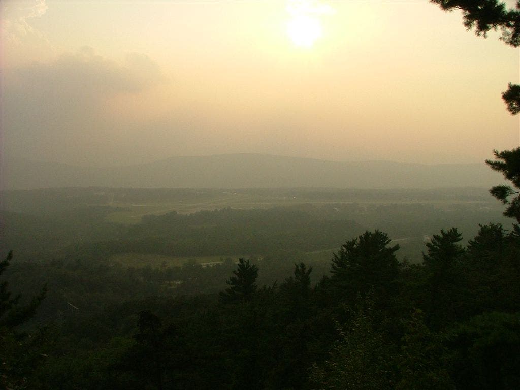
View to WNW; Airport lookout
wpt017
Location: 43.6750068664551, -72.8103637695312
AT turns E crossing VT 100 into parking lot. To reach park office, turn L onto road
WPT014
Location: 43.675048828125, -72.8121185302734
Shower
WPT005
Location: 43.550048828125, -72.8568344116211
Upper Cold River Road
WPT014
Location: 43.4826011657715, -72.9274826049805
Trail to Lake Loop Trail
WPT002
Location: 43.6663665771484, -72.8504867553711
River
WPT013
Location: 43.6746826171875, -72.8143005371094
Gifford Woods State Park
WPT015
Location: 43.5867004394531, -72.8228302001953
Spring
WPT017
Location: 43.6668319702148, -72.808967590332
Deli/resupply store
WPT001
Location: 43.5331993103027, -72.87646484375
Small stream
WPT026
Location: 43.5245170593262, -72.9136505126953
Jeep road
WPT025
Location: 43.5255661010742, -72.9221496582031
Clarendon Lookout; 280 degree views including a great airport view
WPT008
Location: 43.5571670532227, -72.8528137207031
Small road; Sargent Brook
WPT010
Location: 43.6688995361328, -72.82763671875
Sherburne Pass Trail
WPT018
Location: 43.4878349304199, -72.9245681762695
Minerva Hinchey Shelter
WPT008
Location: 43.6765518188477, -72.8356170654297
Blue-blazed Deer Loop Trail
WPT027
Location: 43.5244674682617, -72.9133148193359
Trail to Clarendon Shelter
WPT023
Location: 43.5210990905762, -72.9252853393555
VT 103; parking; trail continues straight across road.
Wpt026
Location: 43.6459007263184, -72.8515167236328
Trail to Churchill Scott Shelter
WPT022
Location: 43.60693359375, -72.8239669799805
Bucklin Trail
WPT012
Location: 43.5647506713867, -72.8483657836914
Governor Clement Shelter
WPT029
Location: 43.5279655456543, -72.8998489379883
Lottery Road
WPT021
Location: 43.6060180664062, -72.8225173950195
Cooper Lodge (decrepit, leaky Shelter) 7400, 7401
WPT014
Location: 43.5783996582031, -72.8332672119141
Stream & spring
WPT011
Location: 43.6746520996094, -72.8096084594726
VT 100
WPT004
Location: 43.5411148071289, -72.8595962524414
Gould Brook
WPT011
Location: 43.4567832946777, -72.9329147338867
Parking adjacent to VT 140
WPT017
Location: 43.4876327514648, -72.9253311157226
Trail to Minerva Hinchey Shelter
WPT003
Location: 43.6667518615723, -72.8498687744141
US 4
WPT016
Location: 43.4873008728027, -72.9255828857422
Yellow Baze trail
WPT009
Location: 43.6693344116211, -72.8276977539062
Deer Leap Trail to overlook
WPT016
Location: 43.6761817932129, -72.8110809326172
Park Office
WPT020
Location: 43.6047821044922, -72.8196640014648
Fire/radio tower (may be closed)
WPT011
Location: 43.5647163391113, -72.8494033813476
Jeep road
WPT003
Location: 43.5370674133301, -72.871452331543
Cold River Rd
WPT017
Location: 43.5894660949707, -72.817268371582
Blue-blaze Shewsbury Peak Trail; near Little Killington Peak
WPT005
Location: 43.6756324768066, -72.8386535644531
Maine jct. AT veers R at Y; Long Trail to L
WPT023
Location: 43.6334342956543, -72.8300018310547
Sherburne Pass Trail to Pico Camp
WPT019
Location: 43.6045875549316, -72.8187408447266
Killington Peak Restaurant; gondola
WPT021
Location: 43.5167007446289, -72.9264984130859
Dirt rd
WPT022
Location: 43.5200653076172, -72.9253997802734
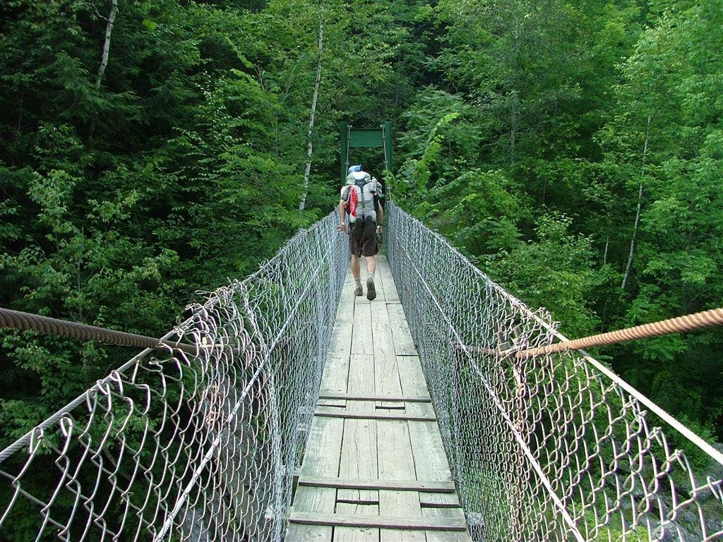
Clarendon Gorge – Mill River suspension bridge
WPT013
Location: 43.4771499633789, -72.9324798583984
Patch Hollow
WPT015
Location: 43.6750831604004, -72.8114013671875
Picnic Area
WPT002
Location: 43.6748847961426, -72.807731628418
Kent Pond; parking
WPT024
Location: 43.6444664001465, -72.8503189086914
Mendon Lookout; view to the SW
WPT018
Location: 43.605884552002, -72.8224258422852
Tent platform; trail to Killington Peak (4,226 ft.)
WPT002
Location: 43.5341987609863, -72.8737869262695
Middle Road
WPT001
Location: 43.6744346618652, -72.8093338012695
AT
WPY003
Location: 43.6744918823242, -72.8088684082031
AT turns out of parking lot here (not at the pond)
WPT001
Location: 43.6461715698242, -72.8527984619141
AT
WPT011
Location: 43.6692008972168, -72.8247985839844
View to S
WPT012
Location: 43.6733512878418, -72.8170471191406
Kent Brook Trail
POI 69
Location: 43.6463508605957, -72.8518753051758
Churchill Scott Shelter
DSCF7309
Location: 43.5856170654297, -72.8238677978516
DSCF7318
Location: 43.6027488708496, -72.8231201171875
DSCF7322
Location: 43.6049652099609, -72.8211975097656
DSCF7340
Location: 43.6047821044922, -72.8199844360352
DSCF7400
Location: 43.6060180664062, -72.8227462768555
DSCF7408
Location: 43.6390838623047, -72.8453369140625
DSCF7424
Location: 43.6450157165527, -72.8534851074219
DSCF7235
Location: 43.5112342834473, -72.9274368286133
DSCF7280
Location: 43.5202331542969, -72.9254837036133
DSCF7284
Location: 43.5257148742676, -72.9224166870117
DSCF7298
Location: 43.5255508422852, -72.9219818115234
DSCF7306
Location: 43.5648155212402, -72.8483200073242