Appalachian Trail: VT 12 to Elm Street

Shelters: Thistle Hill Shelter; sleeps 8. Happy Hill Shelter; sleeps 8.


Trail Facts
- Distance: 34.2
Waypoints
WPT003
Location: 43.7122497558594, -72.418098449707
AT heads W on VT 14 after crossing old truss bridge
WPT004
Location: 43.7172317504883, -72.4182968139648
AT turns E on Tigertown Rd.
WPT014
Location: 43.7240180969238, -72.3649139404297
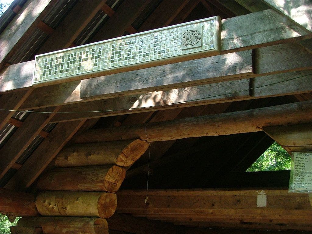
Happy Hill Shelter
WPT008
Location: 43.6958618164062, -72.4775619506836
Trail to Thistle Hill Shelter
WPT015
Location: 43.7233657836914, -72.3613510131836
Tucker Trail
WPT009
Location: 43.7239151000977, -72.3891525268555
Stream; jeep road
WPT013
Location: 43.7250709533691, -72.3645401000976
Trail to Happy Hill Shelter
WPT012
Location: 43.7077178955078, -72.4481658935547
Jeep trail
WPT006
Location: 43.6872329711914, -72.5005187988281
AT continues straight @ jct. with Cloudland Rd; Turn W on Cloudland Rd to by supplies from a local farm
WPT007
Location: 43.6908683776856, -72.5003509521484
Cloudland Farms: Idyllic VT farm, sells local organic ice cream, jerky, hammocks; very hiker friendly
WPT002
Location: 43.7115516662598, -72.4204483032226
Roadwalk
WPT005
Location: 43.7207984924316, -72.4132843017578
Just past the I-89 underpass; AT reenters woods to the right across Podunk Rd.
WPT005
Location: 43.6777648925781, -72.5177688598633
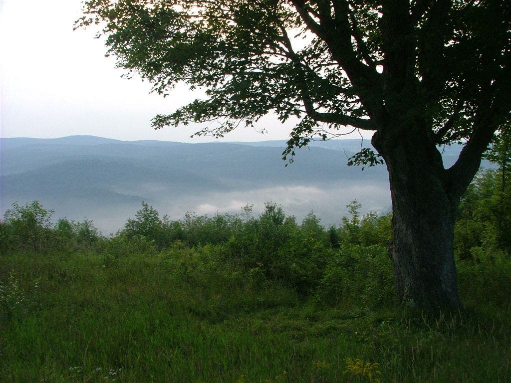
View to the W
WPT004
Location: 43.6803016662598, -72.527099609375
South Promfret; Promfret Road
WPT009
Location: 43.6953926086426, -72.4754791259766
Thistle Hill Shelter
WPT017
Location: 43.7069816589356, -72.3298187255859
Powerline
WPT012
Location: 43.7263679504394, -72.3672180175781
Stream
WPT011
Location: 43.6719093322754, -72.5536270141602
Woodstock Stage Rd.
WPT007
Location: 43.7186851501465, -72.3942031860352
Jeep road
WPT010
Location: 43.7059173583984, -72.4635162353516
Some say trail looks Green Acres
WPT003
Location: 43.6850166320801, -72.5348815917969
Road; packed dirt; Bartlett Brook
WPT001
Location: 43.6754341125488, -72.5505981445312
Stream
WPT008
Location: 43.7196846008301, -72.3927993774414
Doubletrack
WPT011
Location: 43.6547317504883, -72.5656509399414
VT 12; Gulf Stream Bridge; parking
WPT010
Location: 43.7248001098633, -72.3884353637695
Jeep road
WPT002
Location: 43.6755180358887, -72.5402679443359
Dirt road
WPT001
Location: 43.7101173400879, -72.4230499267578
AT turns W on Quechee-West Hartford Road
WPT006
Location: 43.7186317443848, -72.4002532958984
Podunk Road
WPT011
Location: 43.7279167175293, -72.3782348632812
Trail to Burton Woods Road
WPT016
Location: 43.7143173217773, -72.3455352783203
Newton Lane; jeep road
WPT018
Location: 43.7117042541504, -72.3238906860352
AT turns E onto Elm St. Ahead: 1-mi. roadwalk to Main St.; parking
DSCF7436
Location: 43.7070007324219, -72.4336471557617
DSCF7437
Location: 43.7242164611816, -72.3649826049805
DSCF7432
Location: 43.7027816772461, -72.4690322875976