Appalachian Trail: VA 607 to US 60

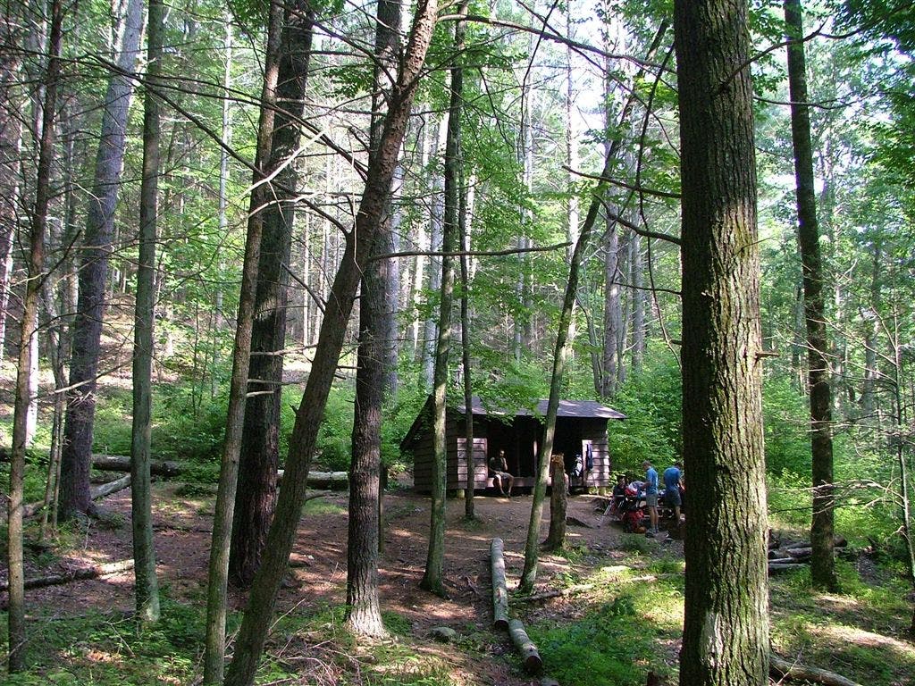
Shelters: Brown Mountain Creek Shelter; sleeps 6.


Trail Facts
- Distance: 16.4
Waypoints
WPT011
Location: 37.676082611084, -79.2862014770508
Tiny stream
WPT018
Location: 37.6672172546387, -79.278450012207
AT relocation
WPT033
Location: 37.7235336303711, -79.2508697509766
US 60
WPT010
Location: 37.6776657104492, -79.2906799316406
Jeep Rd.
WPT016
Location: 37.6676330566406, -79.2819137573242
Campsite
WPT019
Location: 37.6693153381348, -79.2747344970703
View of Lynchburg Reservoir Dam
WPT027
Location: 37.7018165588379, -79.2687683105469
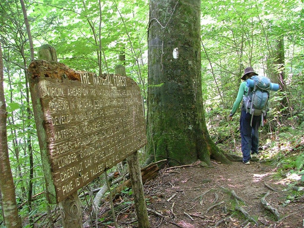
Bench @ information sign
WPT017
Location: 37.6669158935547, -79.2800140380859
Telephone line
WPT005
Location: 37.6763648986816, -79.3293991088867
Campsite (room for 9 tents)
WPT014
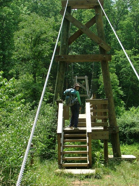
Location: 37.670482635498, -79.2831802368164
Suspension bridge over Pedlar River
WPT026
Location: 37.6972846984863, -79.2724151611328
Brown Mtn. Creek. Swimming, bridge and falls
WPT032
Location: 37.7233505249023, -79.2520141601562
Power line
WPT009
Location: 37.6740989685059, -79.2963638305664
Spring
WPT025
Location: 37.6895484924316, -79.2703857421875
Stream
WPT013
Location: 37.6711158752441, -79.2832183837891
Parking; FS 39
WPT006
Location: 37.6729850769043, -79.3126678466797
Campsite (room for 1 tent)
WPT008
Location: 37.6697654724121, -79.304931640625
Rice Mtn.
WPT031
Location: 37.7198677062988, -79.2615814208984
Stream
WPT024
Location: 37.6853485107422, -79.2712478637695
Cross Pedlar Lake Rd./FS 38
ZZZ055
Location: 37.6760673522949, -79.3326644897461
VA 607; Robinson Gap Rd.
WPT030
Location: 37.7164993286133, -79.263313293457
Bench and sign
WPT022
Location: 37.6819000244141, -79.2720184326172
Small stream
WPT012
Location: 37.6751670837402, -79.2833862304688
AT relocation
WPT028
Location: 37.708683013916, -79.2684478759766
Campsite. AT turns E. Cross 2 log bridges over creek
WPT023
Location: 37.6831665039062, -79.2718963623047
Swapping Camp Creek
ZZZ056
Location: 37.7232666015625, -79.2498245239258
US 60; parking. AT turns W; woods
WPT021
Location: 37.6805648803711, -79.2743682861328
Trail to campsite
WPT020
Location: 37.675968170166, -79.2744522094726
Tiny stream and rock wall
WPT029
Location: 37.709415435791, -79.2683334350586
Brown Mtn. Creek Shelter
WPT007
Location: 37.6727180480957, -79.311882019043
Old trail
DSCF5740
Location: 37.6707000732422, -79.2831649780274
DSCF5737
Location: 37.674934387207, -79.2852478027344
DSCF5791
Location: 37.7109832763672, -79.2688980102539