Appalachian Trail: US 522 to Ashby Gap

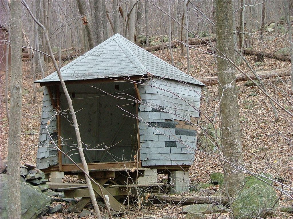
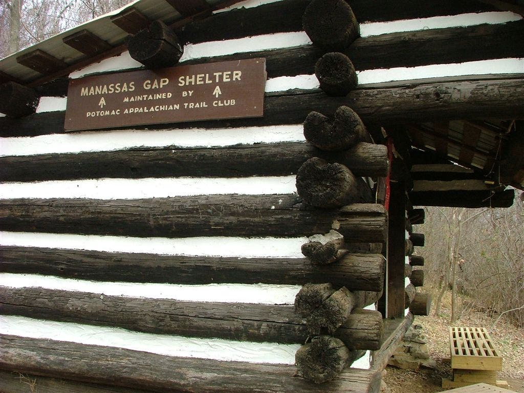
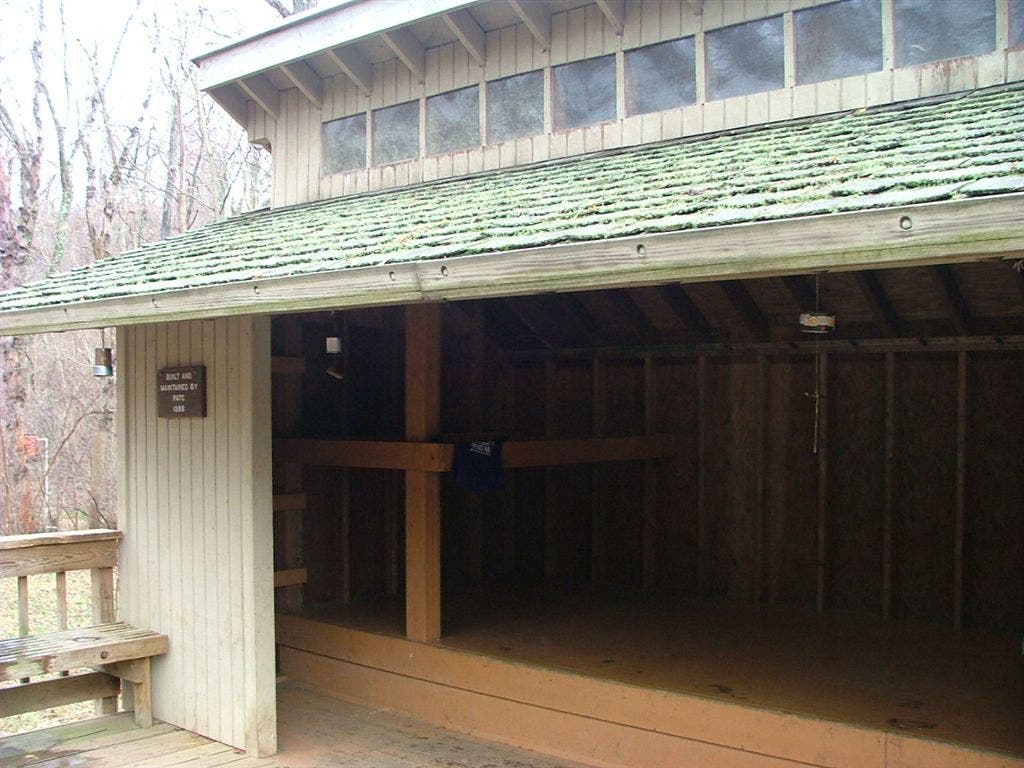
Shelters: Jim and Molly Denton Shelter; sleeps 8. Manassas Gap Shelter; sleeps 6. Dicks Dome Shelter; sleeps 4.


Trail Facts
- Distance: 30.6
Waypoints
WPT005
Location: 38.9637184143066, -78.0161666870117
Double track
WPT004
Location: 38.9647827148438, -78.014030456543
Trail west to parking
WPT022
Location: 38.9025497436523, -78.0553665161133
AT turns W
WPT003
Location: 38.969165802002, -77.999870300293
AT turns W @ jct.
WPT012
Location: 38.9303512573242, -78.0341339111328
Trail
WPT008
Location: 38.9404830932617, -78.0359344482422
Gravel road to parking #5; AT turns E
WPT010
Location: 38.9306678771973, -78.0326843261719
Manassas Gap Shelter
WPT005
Location: 38.8780326843262, -78.1506652832031
US 522
WPT013
Location: 38.9180450439453, -78.049186706543
Blue blaze to view
WPT019
Location: 38.9088668823242, -78.0536651611328
Goose Creek
WPT012
Location: 39.0167846679688, -77.9647521972656
Ashby Gap; US 50
WPT025
Location: 38.971549987793, -77.9984130859375
Gravel road
WPT013
Location: 39.0123825073242, -77.9741821289062
Underground telephone line
WPT030
Location: 38.8900985717773, -78.0830535888672
Jim and Molly Shelter
WPT023
Location: 38.9015159606934, -78.057014465332
Fence
WPT023
Location: 38.9846343994141, -77.9987182617188
Pass a trail heading W to unmarked campsite
WPT002
Location: 38.8897171020508, -78.0825500488281
Blue blaze to shelter
WPT009
Location: 38.9310684204102, -78.033447265625
Trail to shelter
WPT006
Location: 38.8775329589844, -78.1509704589844
Water
WPT026
Location: 38.8930015563965, -78.0751190185547
AT turns W
WPT024
Location: 38.8997993469238, -78.0609512329102
Field; double track
WPT027
Location: 38.9703750610352, -77.9991836547852
Blue-blazed trail leads to Dicks Dome Shelter
WPT003
Location: 38.8853149414062, -78.0933990478516
Powerline
WPT028
Location: 38.8900184631348, -78.0822830200195
Trail to building
WPT006
Location: 38.9534683227539, -78.0213470458984
AT turns E, gravel road zigs E 30 ft.
WPT020
Location: 38.9082336425781, -78.0541687011719
Railroad
WPT004
Location: 38.8813514709473, -78.0997314453125
AT turns W @ jct.
WPT025
Location: 38.8976173400879, -78.0718002319336
VA 638; stile zigs 100 ft.
WPT001
Location: 38.9697608947754, -77.9970245361328
Dicks Dome Shelter
WPT021
Location: 38.9957008361816, -77.9904022216797
N. Ridge Trail to Sky Meadows SP and visitor center (1.7 mi.)
WPT018
Location: 39.0026512145996, -77.9806671142578
Ambassador Whitehouse Trail to Sky Meadows State Park Visitor Center
WPT015
Location: 38.9116363525391, -78.0522308349609
Cross bridge over stream
WPT014
Location: 38.9144172668457, -78.0502166748047
4WD road
WPT017
Location: 39.0067481994629, -77.9785308837891
Ambassador Whitehouse Trail to Sky Meadows State Park Visitor Center
WPT022
Location: 38.993049621582, -77.9917297363281
G. Richard Thompson State Wildlife Mgmt. Area boundary
WPT027
Location: 38.8907012939453, -78.0818481445312
AT turns E @ jct.
WPT016
Location: 38.9113922119141, -78.0530471801758
AT turns E, parking, road
WPT017
Location: 38.9104156494141, -78.0531997680664
US 66 underpass
WPT026
Location: 38.9709014892578, -77.9990463256836
Stream crossing
WPT014
Location: 39.0101661682129, -77.9769973754883
AT turns E; blue-blazed old trail
WPT019
Location: 38.9972648620606, -77.9892349243164
G. Richard Thompson State Wildlife Mgmt. Area boundary. Sky Meadows State Park; pipeline; fence
WPT018
Location: 38.9094161987305, -78.0534515380859
VA 55
WPT028
Location: 38.9696235656738, -77.9970703125
Cross bridge over stream
WPT007
Location: 38.9511833190918, -78.0259857177734
Blue blaze to parking #6
WPT015
Location: 39.0089836120606, -77.9764175415039
4WD road
WPT024
Location: 38.974681854248, -77.9978332519531
Telephone line
DSCF2023
Location: 39.0053482055664, -77.9795303344726
DSCF2059
Location: 38.9695816040039, -77.9969177246094
DSCF2066
Location: 38.9306983947754, -78.0330200195312
DSCF2076
Location: 38.8898658752441, -78.0837020874024