Appalachian Trail: US 501 to VA 607

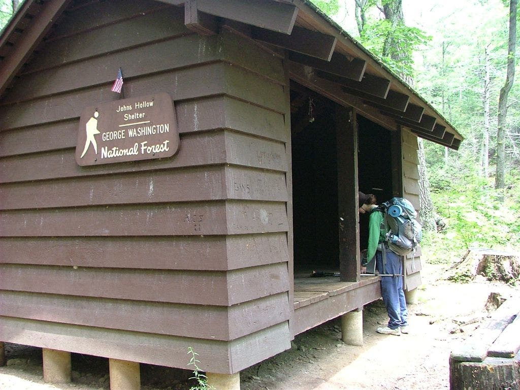
Shelters: Johns Hollow Shelter; sleeps 6. Punchbowl Shelter; sleeps 6.
Trail Facts
- Distance: 17.3
Waypoints
WPT009
Location: 37.6041679382324, -79.3889846801758
Stream
WPT020
Location: 37.6713333129883, -79.3423309326172
Punchbowl Mtn.
WPT006
Location: 37.625617980957, -79.4030151367188
Little Rocky Row Trail to the W; campsite
WPT005
Location: 37.6254005432129, -79.402946472168
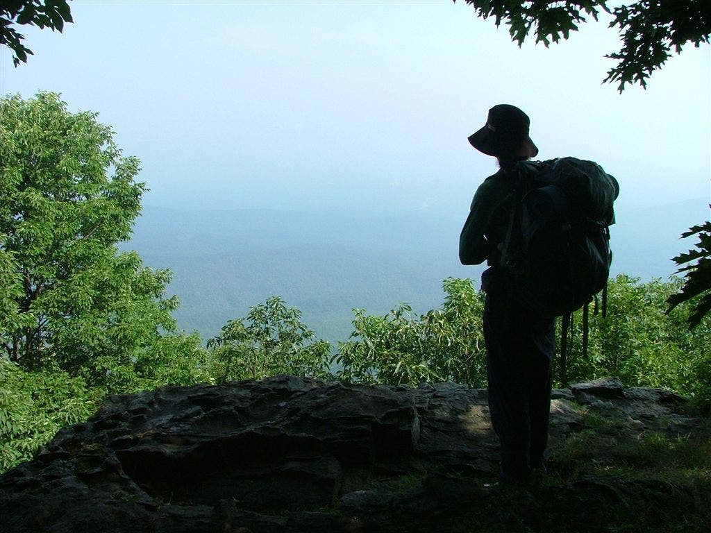
View of the James River to SSE
WPT007
Location: 37.6257820129394, -79.4017181396484
View of Fullers Rock and James River to the SSE
ZZZ054
Location: 37.596851348877, -79.3913497924805
US 501; parking
WPT001
Location: 37.6129112243652, -79.3918609619141
Johns Hollow Shelter
WPT004
Location: 37.5970840454102, -79.3899688720703
AT turns E; woods
WPT023
Location: 37.6776885986328, -79.3385543823242
Punchbowl Shelter
WPT005
Location: 37.5975341796875, -79.3899307250976
Rocky Row Run and bridge
WPT008
Location: 37.5993499755859, -79.3907165527344
AT turns W heads up
WPT008
Location: 37.6340179443359, -79.3908309936524
Big Rocky Row. Campsite to W (room for 4 tents)
WPT003
Location: 37.5968017578125, -79.3901672363281
US 501 and Hercules St.
WPT022
Location: 37.6753997802734, -79.3385696411133
AT turns E @ jct. with trail to shelter
WPT015
Location: 37.6572151184082, -79.3535308837891
Campsite
WPT018
Location: 37.6601333618164, -79.3463821411133
Bluff Mtn. with views to the E and NNW
WPT006
Location: 37.5975685119629, -79.3898315429688
Trail to parking
WPT021
Location: 37.6744346618652, -79.3406295776367
AT turns E
WPT007
Location: 37.5984992980957, -79.3900680541992
Rocky Row Run and bridge
WPT003
Location: 37.6739501953125, -79.3352966308594
Blue Ridge Parkway Punchbowl Mtn. crossing
WPT010
Location: 37.644115447998, -79.3783340454102
Trail to W
WPT003
Location: 37.620849609375, -79.3985977172852
Old 4WD road
WPT019
Location: 37.6681671142578, -79.3432159423828
Old Trail
WPT004
Location: 37.6248817443848, -79.4021530151367
View of the James river to SSW
WPT012
Location: 37.6446647644043, -79.3730697631836
Saddle Gap trail
WPT002
Location: 37.5966682434082, -79.3908157348633
AT turns E
WPT014
Location: 37.655216217041, -79.3572845458984
AT turns W; switchbacks
WPT011
Location: 37.6051177978516, -79.3869857788086
Trail to road E
WPT013
Location: 37.610050201416, -79.3902969360352
Stream
WPT011
Location: 37.6447830200195, -79.373664855957
Campsite
WPT013
Location: 37.6538009643555, -79.3589019775391
Satlog Gap trail to E
ZZZ055
Location: 37.6760673522949, -79.3326644897461
VA 607; Robinson Gap Rd.
WPT001
Location: 37.677734375, -79.3384704589844
Punchbowl Shelter
WPT010
Location: 37.6050987243652, -79.3862991333008
AT turns W
WPT012
Location: 37.6050338745117, -79.3879699707031
Hercules Rd. (gravel); parking; FS 36
WPT017
Location: 37.6600151062012, -79.346549987793
Little Ottie Cline Powell Memorial: This marks the spot where Ottie Cline Powell’s body was found April 5, 1891, after straying from Tower Hill School House on Nov. 9
WPT002
Location: 37.6757316589356, -79.3390502929688
Trail to Shelter
WPT002
Location: 37.612003326416, -79.3915023803711
Trail to shelter
WPT009
Location: 37.6346015930176, -79.3891830444336
Overlook
DSCF5638
Location: 37.598518371582, -79.3902130126953
DSCF5632
Location: 37.598518371582, -79.3900299072266
DSCF5655
Location: 37.6128158569336, -79.3919830322266
DSCF5664
Location: 37.6347503662109, -79.3891525268555
DSCF5626
Location: 37.5974655151367, -79.3899688720703