Appalachian Trail: US 321 to TN 91

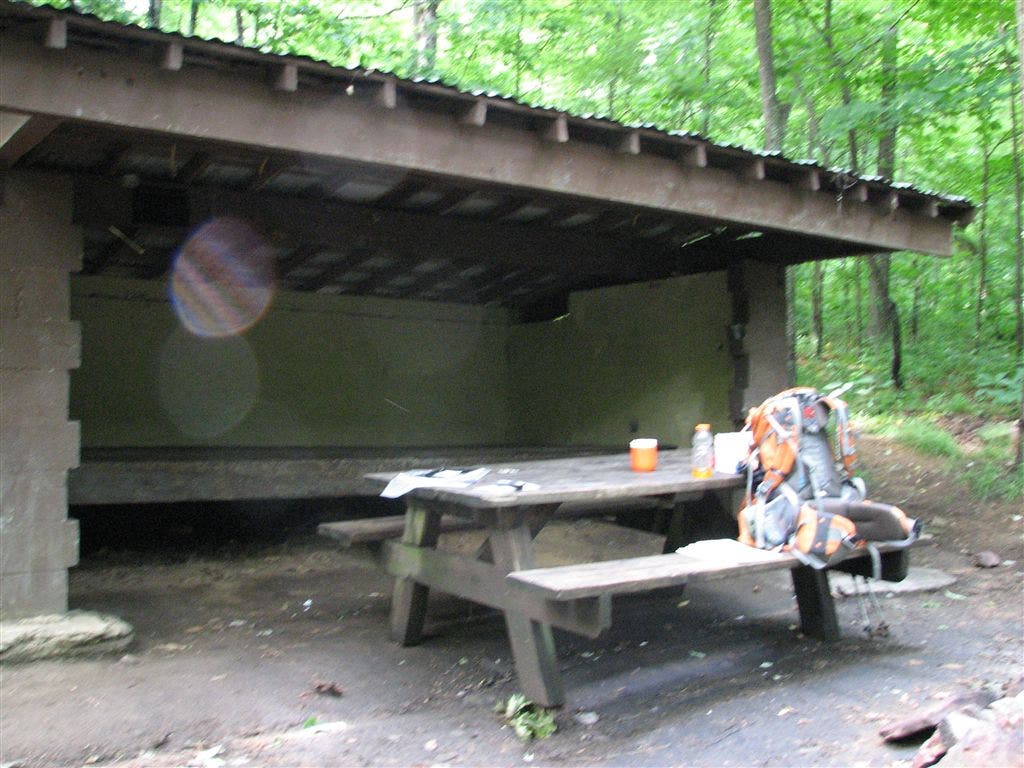
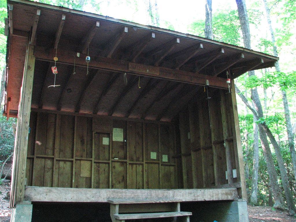
Shelters: Watauga Lake Shelter: sleeps 6; no privy. Vandeventer Shelter: sleeps 6; no privy. Iron Mountain Shelter: sleeps 6; no privy.
Trail Facts
- Distance: 32.5
Waypoints
WPT025
Location: 36.450267791748, -81.9774475097656
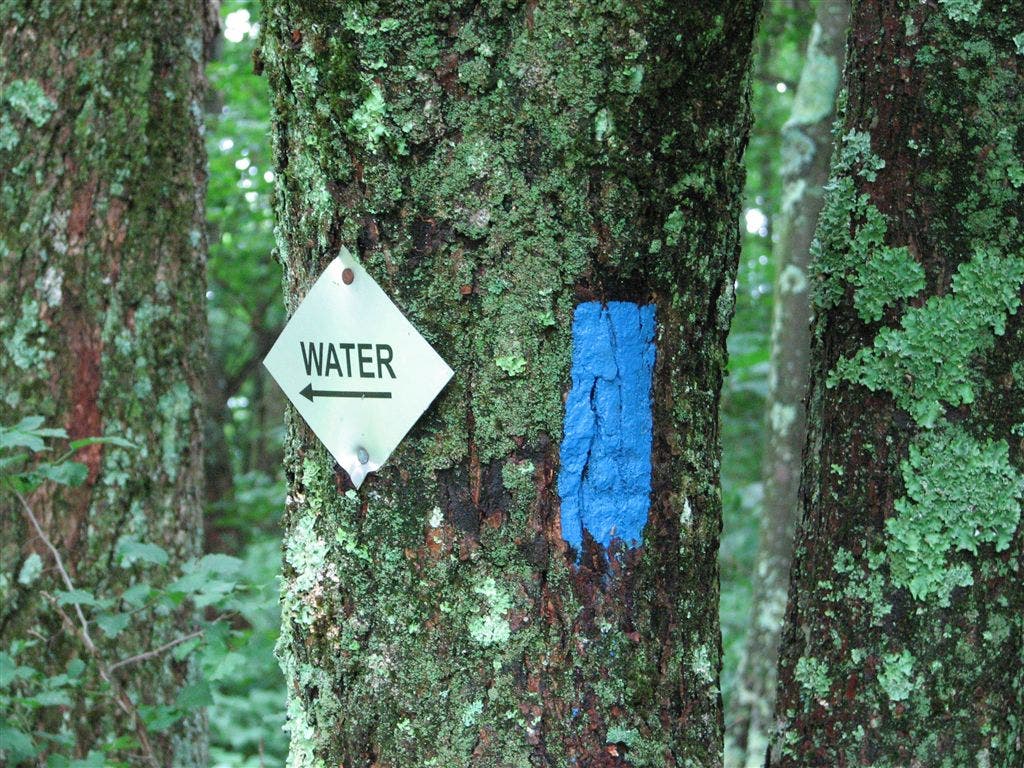
Blue blazes lead W to water
WPT043
Location: 36.3672981262207, -82.0606155395508
Campsite (room for 2 tents)
WPT012
Location: 36.3224334716797, -82.1238174438476
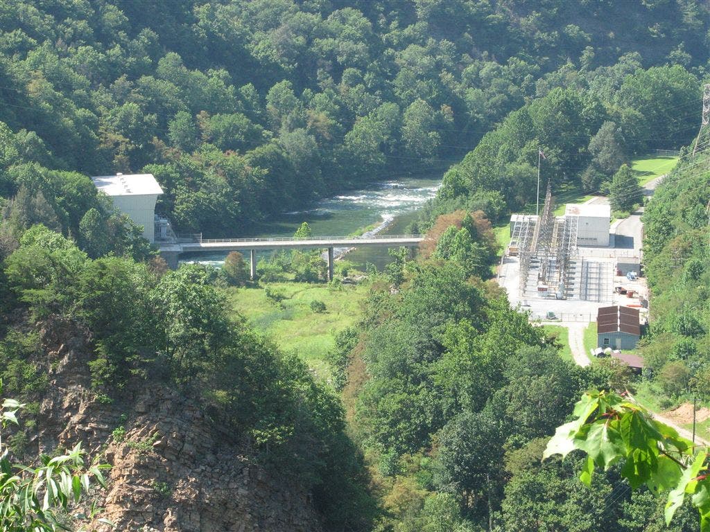
S end of Watauga Dam; AT follows the road
WPT015
Location: 36.3137321472168, -82.1296844482422
Trail to shelter
WPT029
Location: 36.4332160949707, -81.9924468994141
Spring
WPT030
Location: 36.433032989502, -81.9929351806641
Campsite (room for 4 tents)
POI
Location: 36.3074531555176, -82.1269607543945
Rope Swing
WPT013
Location: 36.3212013244629, -82.1235656738281
AT leaves road onto trail
WPT014
Location: 36.4738998413086, -81.9545135498047
Blue-blazed trail leads to spring
WPT009
Location: 36.3286666870117, -82.1115188598633
AT turns W; Watauga Dam Rd.; Iron Mountain Gap; parking
WPT007
Location: 36.3017501831055, -82.1315689086914
Bridge; old pavement boat ramp
WPT023
Location: 36.4543151855469, -81.9737701416016
AT crests an unnamed summit (4,120 ft.)
WPT004
Location: 36.3041152954102, -82.1301193237305
AT veers E @ jct. with blue-blazed trail to the W
WPT032
Location: 36.4227676391602, -82.0062484741211
Double track trail to the W
WPT031
Location: 36.4267349243164, -81.9964370727539
Powerline
WPT007
Location: 36.3294982910156, -82.1110534667969
Campsite (room for 2 tents)
WPT019
Location: 36.3087844848633, -82.1290817260742
Campsite (room for 2 tents); lakeside trash
WPT003
Location: 36.304615020752, -82.1296463012695
AT veers E
WPT006
Location: 36.302734375, -82.1313629150391
Side trail leads W to road
WPT024
Location: 36.4511833190918, -81.976432800293
Campsite (room for 1 tent)
WPT038
Location: 36.3764495849609, -82.047966003418
Campsite (room for 1 tent)
WPT039
Location: 36.3715515136719, -82.0538177490234
Views to the ESE
WPT010
Location: 36.302116394043, -82.12841796875
AT turns W to road
WPT003
Location: 36.3602333068848, -82.066764831543
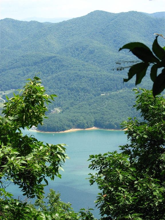
Side trail to the E to view Watauga Lake
WPT037
Location: 36.3810997009277, -82.0421524047852
Partial views to the ESE
WPT033
Location: 36.4153671264648, -82.0079650878906
Campsite (room for 3 tents)
ZZZ029
Location: 36.481517791748, -81.9606018066406
TN 91. Navigate a maze-like gate; parking
WPT034
Location: 36.406867980957, -82.0182189941406
Old side trail to the W
WPT011
Location: 36.303165435791, -82.1261672973633
Railroad crossing
WPT011
Location: 36.3235664367676, -82.1214370727539
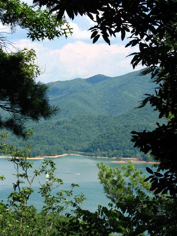
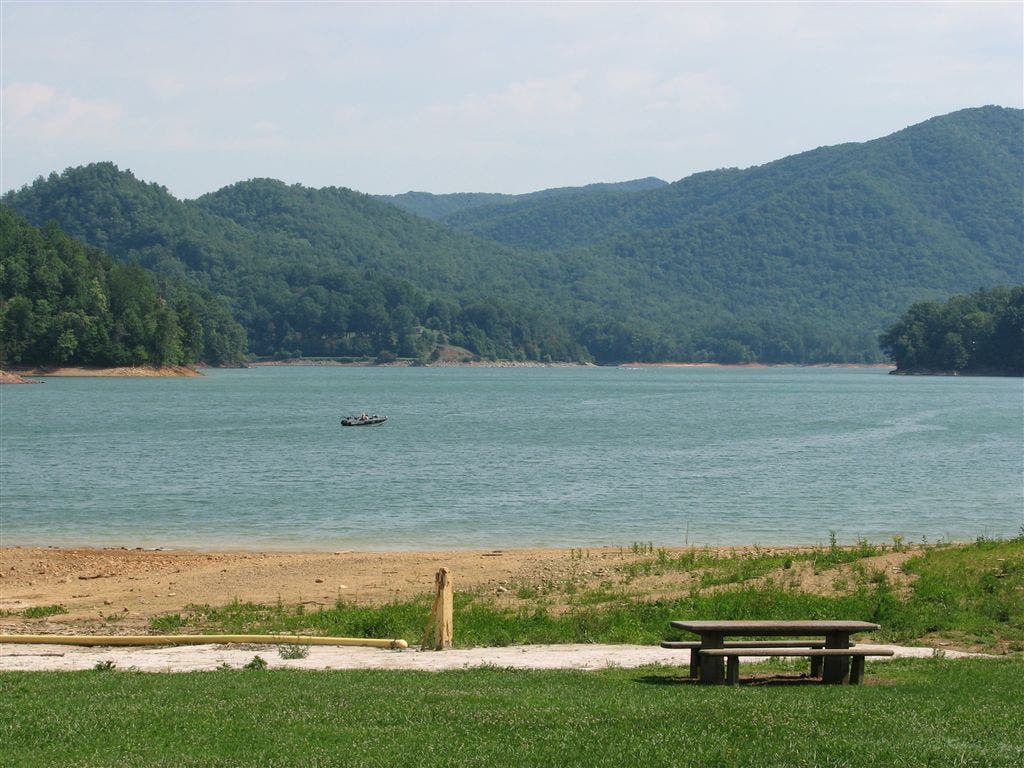
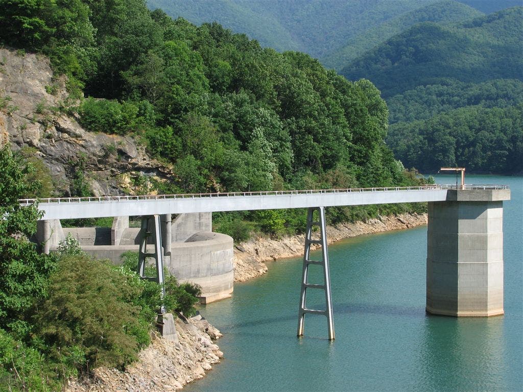
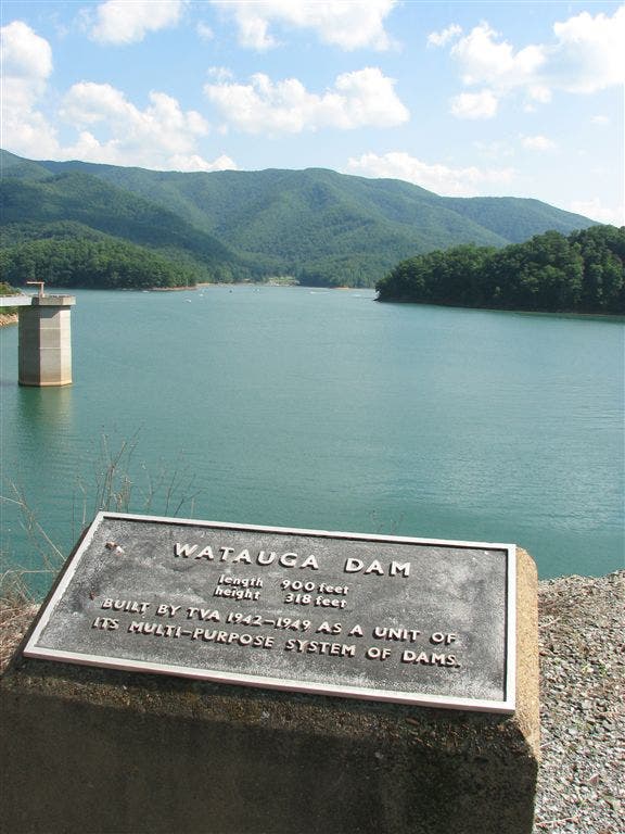
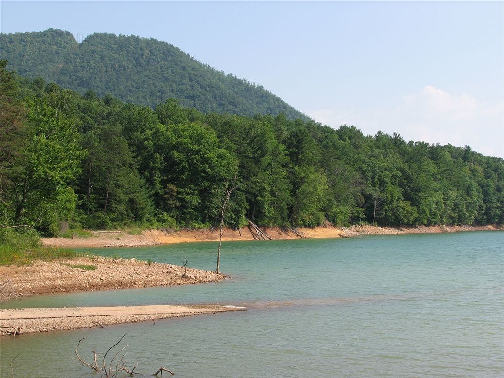
AT turns W @ N end of Watauga Dam; road walk ahead. Plaque for Watauga Dam, with great views out into the lake. Teal blue waters, deep green forests. Boaters and paddlers
WPT018
Location: 36.3094673156738, -82.1297836303711
Side trail to the E
WPT001
Location: 36.3058815002441, -82.1293182373047
Campsite (room for 4+ tents); trail to rope swing
WPT016
Location: 36.4734649658203, -81.9544677734375
Campsite (room for 2 tents)
WPT005
Location: 36.3504180908203, -82.0770034790039
Spring (puddle)
WPT014
Location: 36.3196487426758, -82.1240005493164
AT turns W; campsite (room for 1 tent)
WPT035
Location: 36.4064178466797, -82.0185470581055
Blue-blazed trail to the E to dry spring; campsite (room for 4 tents)
WPT044
Location: 36.3686332702637, -82.0598831176758
Piped spring
WPT021
Location: 36.306568145752, -82.1295318603516
Campsite (room for 4+ tents); 30-ft. rope swing to the NE
WPT040
Location: 36.3681983947754, -82.0569305419922
Rock adjacent to the trail
WPT028
Location: 36.4337844848633, -81.9926300048828
Blue-blazed trail to the E to spring
WPT004
Location: 36.3527336120606, -82.0753631591797
Campsite (room for 1 tent) to the W 40 ft.; ferns and rhododendrons
WPT022
Location: 36.305549621582, -82.1290512084961
Rope swing (past small fire @ point)
WPT008
Location: 36.3287658691406, -82.1113510131836
Big Laurel Branch Wilderness; campsite (room for 4 tents)
WPT020
Location: 36.3084487915039, -82.1290512084961
Campsite (room for 3 tents)
WPT010
Location: 36.3257179260254, -82.1170196533203
AT leaves paved, one lane road
WPT022
Location: 36.4609832763672, -81.9677810668945
Campsite (room for 2 tents)
WPT017
Location: 36.473217010498, -81.9545135498047
Small stream crossing
WPT009
Location: 36.3019981384277, -82.1287002563476
Picnic area; woods; bridge
WPT002
Location: 36.3666839599609, -82.0595169067383
Blue-blazed trail to spring which is .3 mi. down a steep hill
WPT017
Location: 36.3117828369141, -82.1324005126953
AT switchbacks @ jct. with side trail to water; small stream crossing
WPT006
Location: 36.3421516418457, -82.0871505737305
Views to SSE of Watauga Lake
WPT036
Location: 36.4061660766602, -82.0181198120117
Dry spring
WPT026
Location: 36.4491653442383, -81.9786682128906
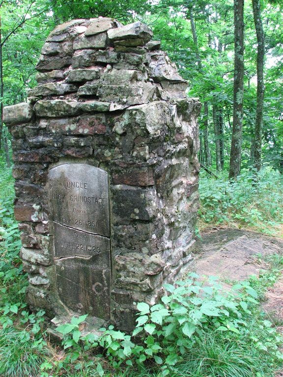
Nick Grindstaff Monument. Known as Uncle Nick Grindstaff, the hermit of the mountains, Nick’s memorial marker reads he “lived alone, suffered alone, died alone.”
WPT018
Location: 36.4682998657227, -81.9554672241211
Side trail to the E
WPT015
Location: 36.4738998413086, -81.9543838500976
Spring house
WPT020
Location: 36.4619331359863, -81.9664993286133
Switchbacks
WPT019
Location: 36.4643516540527, -81.9621963500976
3,750 ft.
WPT027
Location: 36.4357681274414, -81.9908676147461
Iron Mtn. Shelter
ZZZ028
Location: 36.3018684387207, -82.1279830932617
US 321; Shook Branch Rd.
WPT016
Location: 36.3140487670898, -82.1295013427734
Watauga Lake Shelter: The area around this shelter may be dirty due to its proximity to the road
WPT005
Location: 36.3033676147461, -82.1311187744141
Campsite (room for 2 tents); shore
WPT001
Location: 36.3671035766602, -82.0587692260742
Vandeventer Shelter
WPT013
Location: 36.4768486022949, -81.9579696655274
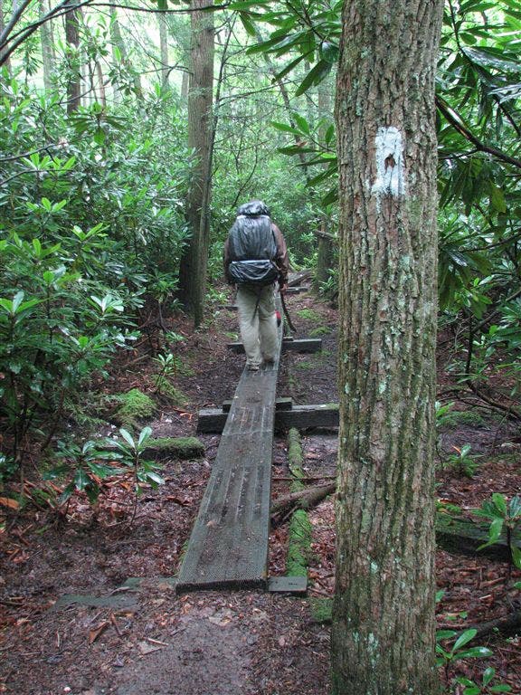
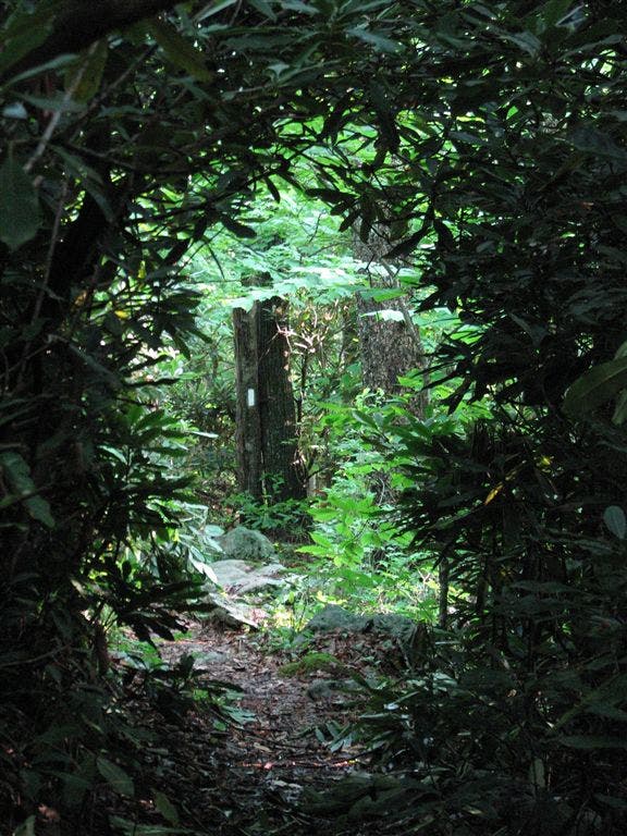
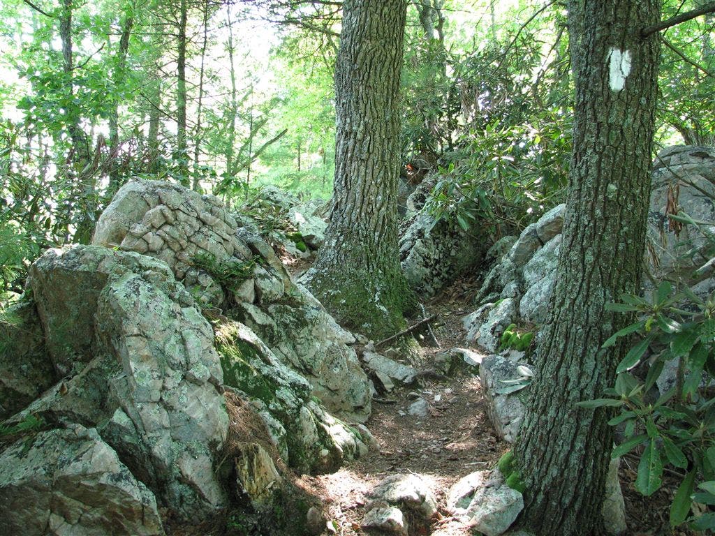
Gravel road. The area around this point had been burned recently. Scorch marks can still be seen on some of the rhododendron trunks. Trail winds around, occasionally walking along plank walkways through thick rhodendron fields
WPT008
Location: 36.3018989562988, -82.1287307739258
AT continues straight; side trail leads W to road and parking
WPT012
Location: 36.4812164306641, -81.9603805541992
TN 91
WPT002
Location: 36.3050994873047, -82.1296463012695
AT veers E; campsite (room for 6 tents); side trail heads straight
IMG_0751
Location: 36.3097724914551, -82.1310653686524
IMG_0799
Location: 36.3419151306152, -82.0871200561524
IMG_0824
Location: 36.3280982971191, -82.1161804199219
IMG_0923
Location: 36.3140335083008, -82.129264831543
IMG_0870
Location: 36.3229179382324, -82.1228332519531
IMG_0787
Location: 36.3452835083008, -82.0830001831055
IMG_0697
Location: 36.4490852355957, -81.9787673950195
IMG_0959
Location: 36.3015327453613, -82.130500793457
IMG_0831
Location: 36.3242988586426, -82.1215667724609
IMG_0676
Location: 36.4744834899902, -81.9550476074219
IMG_0968
Location: 36.302116394043, -82.1279830932617
IMG_0753
Location: 36.3740005493164, -82.0506134033203
IMG_0846
Location: 36.3235816955566, -82.1213989257812
IMG_0845
Location: 36.3235816955566, -82.1213989257812
IMG_0821
Location: 36.3283004760742, -82.1143798828125
IMG_0961
Location: 36.3018493652344, -82.1289138793945
IMG_0752
Location: 36.4054183959961, -82.0195999145508