Appalachian Trail: US 19E to Dennis Cove

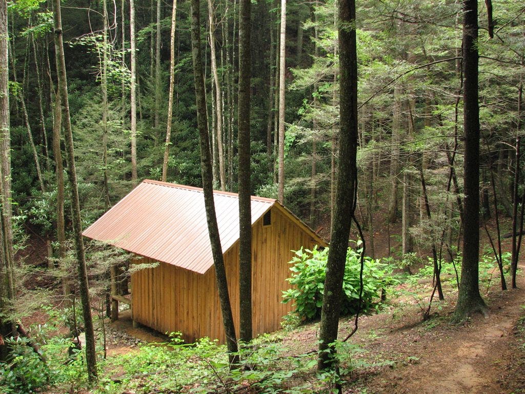
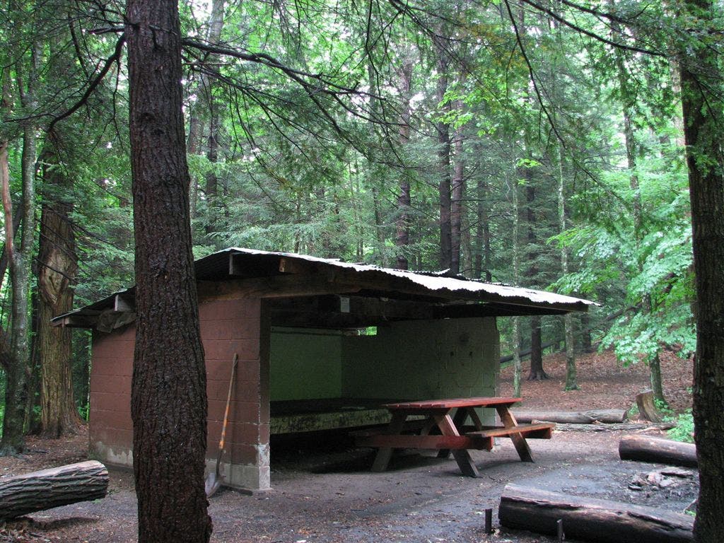
Shelters: Moreland Gap Shelter: sleeps 6; no privy.
Trail Facts
- Distance: 35.8
Waypoints
WPT007
Location: 36.2173843383789, -82.0661163330078
Stream crossing
WPT030
Location: 36.1983489990234, -82.0024032592774
AT turns W @ jct. with trail to cemetary
WPT010
Location: 36.2164993286133, -82.0619201660156
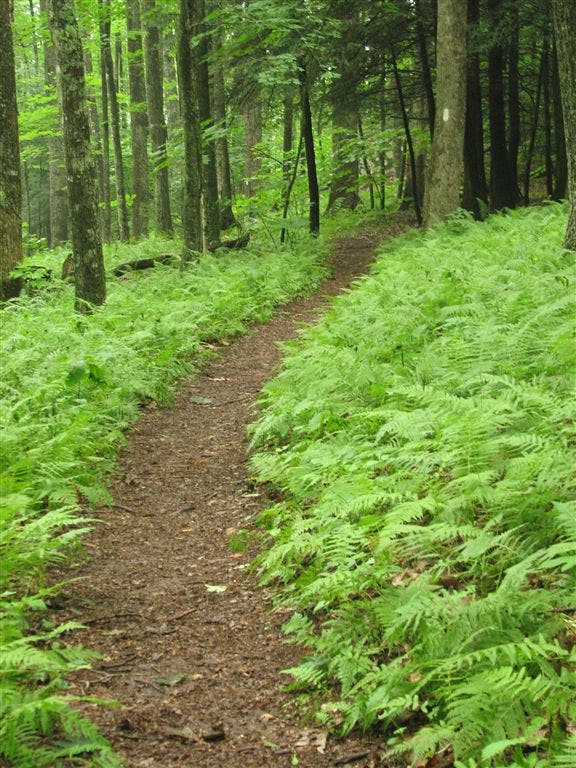
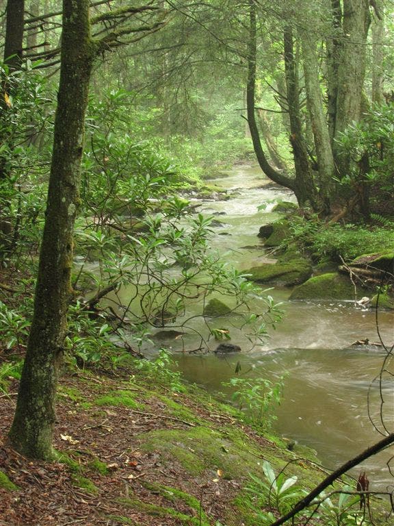
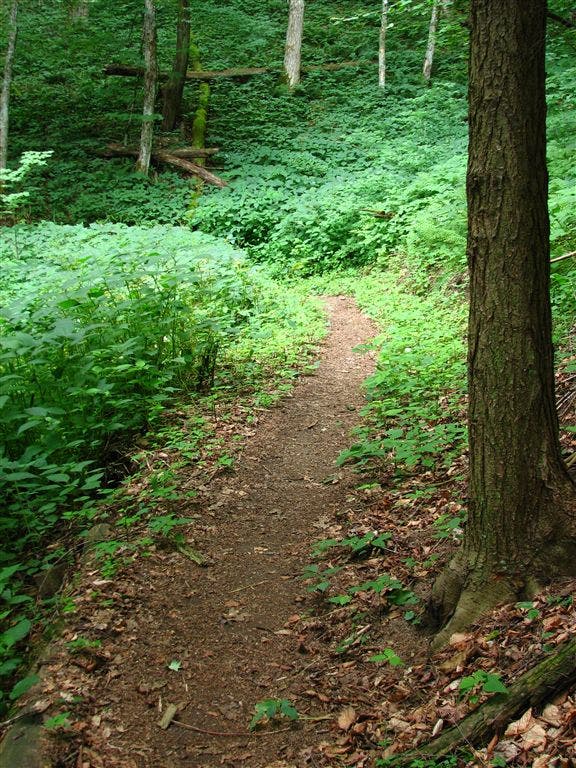
Very gentle and lush
WPT021
Location: 36.217601776123, -82.038330078125
Gravel road (1 lane)
WPT018
Location: 36.2062835693359, -81.9881973266602
AT turns W @ jct. with old AT
WPT002
Location: 36.2203903198242, -81.9855194091797
Trail to shelter
WPT008
Location: 36.2092514038086, -81.9763870239258
Side trail to the E (access to the Elk River)
WPT031
Location: 36.1975326538086, -82.0029983520508
AT turns E; double track
WPT022
Location: 36.2043495178223, -81.9973983764648
Campbell Hollow Rd.
WPT037
Location: 36.1904487609863, -82.0106201171875
AT turns E off double track
WPT015
Location: 36.2204170227051, -82.0516510009766
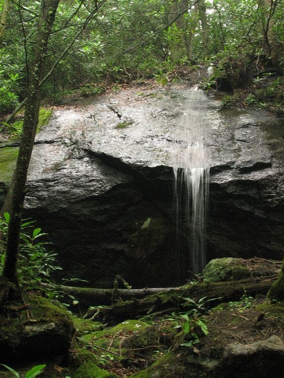
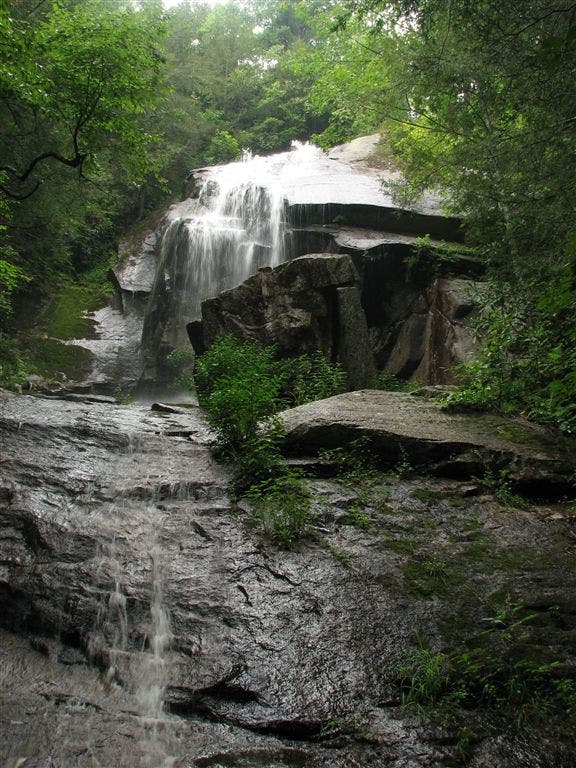
Major cascades
WPT033
Location: 36.2197151184082, -82.0224685668945
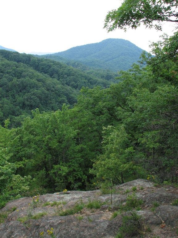
Views of valley to the SSE
WPT005
Location: 36.2193984985352, -81.9775314331055
AT turns W @ jct. with old AT
WPT008
Location: 36.2175827026367, -82.0655364990234
Campsite (room for 4 tents)
WPT036
Location: 36.1931838989258, -82.0053024291992
AT turns E
WPT004
Location: 36.2206001281738, -82.0836334228516
Old AT; veer W
WPT005
Location: 36.2542991638184, -82.1216659545898
Large 15-ft. boulder next to trail
WPT003
Location: 36.260799407959, -82.1261367797852
AT turns E
WPT038
Location: 36.2227668762207, -82.0090026855469
Double track; campsite (room for 1 tent)
WPT025
Location: 36.2200660705566, -82.0316162109375
White stone wall to E
WPT040
Location: 36.1853179931641, -82.0111999511719
Open Valley Shelter
WPT044
Location: 36.177734375, -82.0110168457031
AT switchbacks W
WPT028
Location: 36.2204170227051, -82.0297698974609
Blue-blazed trail to the E
WPT034
Location: 36.2213821411133, -82.0183334350586
Campsite (room for 1 tent)
WPT012
Location: 36.207649230957, -81.9797515869141
AT turns E
WPT006
Location: 36.2533683776856, -82.1220169067383
Views to the WNW of pond and wilderness
WPT011
Location: 36.2157516479492, -82.0612335205078
Tiny stream crossing
WPT034
Location: 36.1928672790527, -82.0039825439453
Views to the ESE and WSW
WPT012
Location: 36.2333984375, -82.1167678833008
Cross gravel road
WPT040
Location: 36.2205657958984, -82.0027694702148
Jeep road
WPT009
Location: 36.2085838317871, -81.9795837402344
NF Boundary; exit
WPT004
Location: 36.2195014953613, -81.9844818115234
Blue-blazed trail to the W to campsite
WPT027
Location: 36.1998176574707, -82.0015487670898
Field
WPT012
Location: 36.2171173095703, -82.0588836669922
Campsite (room for 1 tent)
WPT014
Location: 36.2307510375977, -82.1140823364258
Blue-blazed trail to the W
WPT025
Location: 36.2014999389648, -81.9989471435547
Buck Mtn. Rd.; church
WPT017
Location: 36.2034149169922, -81.9816665649414
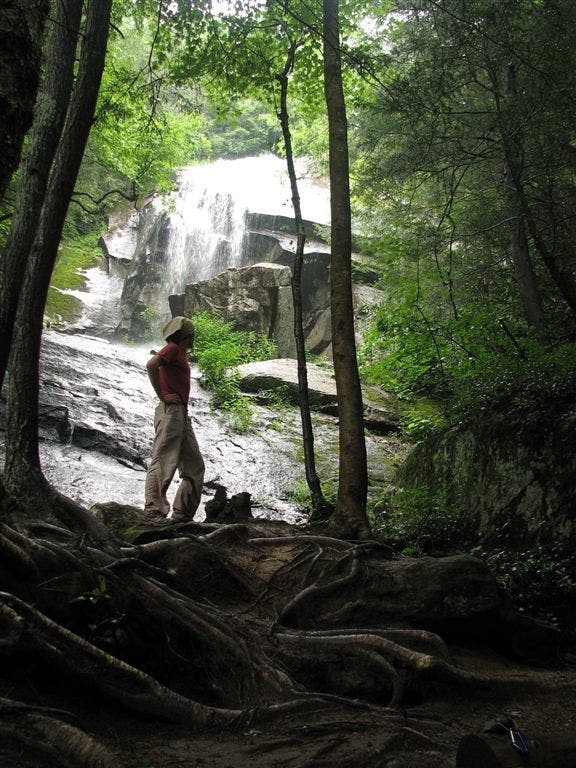
Jones Falls: Beautiful 30-ft. cascade (150 ft. from AT to falls)
WPT024
Location: 36.2035484313965, -81.9975967407226
Muddy stream crossing
WPT024
Location: 36.219051361084, -82.0329360961914
Fern N Pine
WPT019
Location: 36.2222175598144, -82.0442962646484
Stream crossing
WPT028
Location: 36.1994323730469, -82.0022506713867
Cemetary to the E
WPT027
Location: 36.220531463623, -82.0302810668945
AT wanders along brook
WPT005
Location: 36.2172508239746, -82.0670852661133
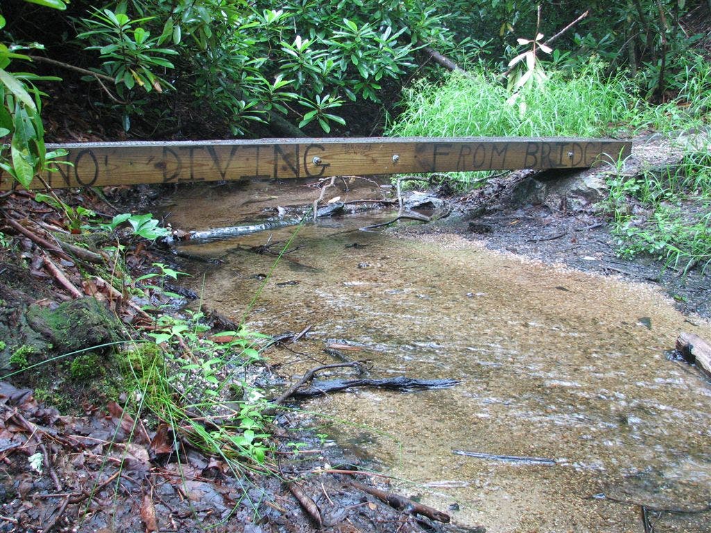
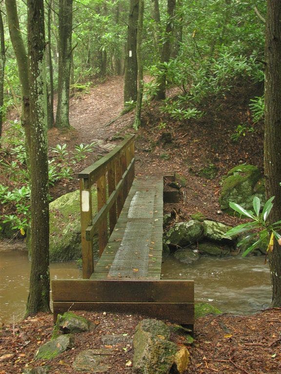
Stream crossing; bridge
WPT030
Location: 36.2204322814941, -82.0295181274414
Bridge with one handrail; unofficial campsite (room for 1 tent)
WPT036
Location: 36.2220344543457, -82.0175857543945
Stream crossing
WPT023
Location: 36.2186012268066, -82.0352478027344
Campsite (room for 3 tents); jeep road
WPT016
Location: 36.2041168212891, -81.9819030761719
Water
WPT041
Location: 36.2196159362793, -82.0001983642578
Stream crossing
WPT015
Location: 36.2042655944824, -81.9815826416016
AT makes sharp turn W; blue-blazed trail to Jones Falls and W
WPT037
Location: 36.2232322692871, -82.0123138427734
Small stream crossing
WPT044
Location: 36.2207336425781, -81.985969543457
Trail to shelter
WPT021
Location: 36.205150604248, -81.9969635009766
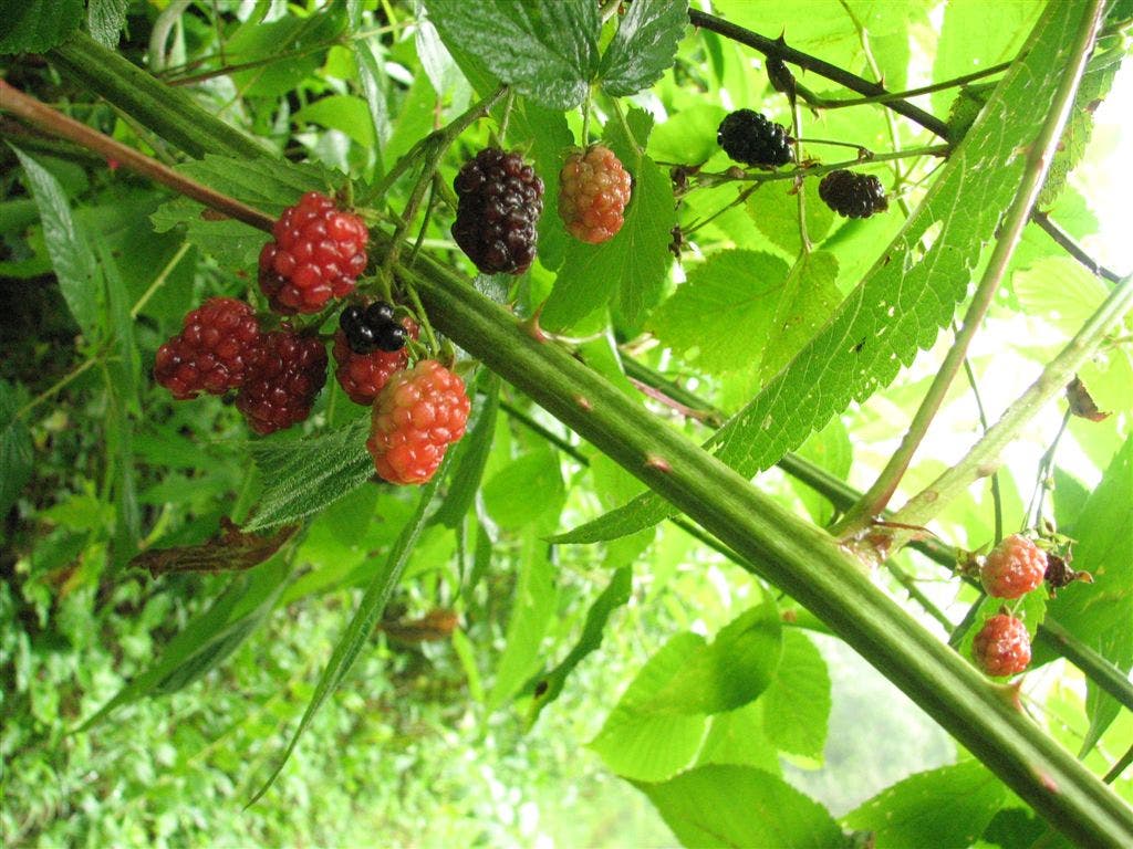
Brush and raspberries
WPT006
Location: 36.217601776123, -82.0652465820312
Small stream crossing
WPT032
Location: 36.2164154052734, -82.0246658325195
Abby’s Place
WPT017
Location: 36.2224502563477, -82.0487976074219
2 log bridges
WPT002
Location: 36.2205657958984, -82.0871963500976
AT crisscrosses the old AT; switchbacks
WPT016
Location: 36.2206497192383, -82.0512008666992
Small stream crossing
WPT013
Location: 36.2043342590332, -81.9763031005859
AT turns W; stile over fence; field to the S
WPT032
Location: 36.1949348449707, -82.0041809082031
Stile; views to the ESE; field
WPT020
Location: 36.2221488952637, -82.0410537719726
Old AT turns W
WPT001
Location: 36.2201843261719, -82.0882034301758
Moreland Gap Shelter; blue-blazed trail leads to spring
WPT010
Location: 36.2386512756348, -82.1218490600586
Views to the SSE
WPT008
Location: 36.251335144043, -82.1229629516602
AT straight @ jct. with side trail to the W
WPT019
Location: 36.2060508728027, -81.9950637817383
AT turns W @ jct. with side trail that continues straight
WPT031
Location: 36.2198677062988, -82.0230331420898
Trail to Abby’s Place
WPT014
Location: 36.2036514282227, -81.9755477905274
AT turns W @ jct. with trail that descends to the E
WPT015
Location: 36.2305335998535, -82.1137313842774
Old AT turns W
WPT035
Location: 36.2217674255371, -82.0178680419922
Tiny stream crossing
WPT003
Location: 36.219367980957, -81.984748840332
Mountaineer Falls
WPT014
Location: 36.2204322814941, -82.0522308349609
Side trail to the E to campsite (room for 2 tents)
WPT004
Location: 36.2565841674805, -82.1221008300781
Views to the WNW of valley; Pond Flats
WPT042
Location: 36.1801834106445, -82.0120010375976
Buck Creek; bridge
WPT023
Location: 36.2038345336914, -81.9975662231445
Campsite (room for 3 tents)
WPT042
Location: 36.22216796875, -81.9955978393555
AT veers W
WPT018
Location: 36.223331451416, -82.0485000610352
Campsite (room for 1 tent)
WPT020
Location: 36.2055320739746, -81.9967346191406
Telephone line
WPT026
Location: 36.2206840515137, -82.0312805175781
Campsite (room for 2 tents); falls
WPT001
Location: 36.2201118469238, -81.9856338500976
Mountaineer Falls Shelter; stream to the SSE (300 ft.)
ZZZ027
Location: 36.2642822265625, -82.1233062744141
Dennis Cove Rd.; FS 50; parking
WPT007
Location: 36.2136001586914, -81.9762496948242
Stream crossing
WPT002
Location: 36.2622184753418, -82.1239471435547
AT turns W @ jct. with side trail that travels E
WPT039
Location: 36.1901817321777, -82.0131683349609
AT turns E
WPT010
Location: 36.2085151672363, -81.9795989990234
Stream crossing
WPT007
Location: 36.252082824707, -82.1223678588867
Blue-blazed Coon Den Falls Trail
ZZZ026
Location: 36.1775169372559, -82.0114669799805
US 19 E
WPT011
Location: 36.2083320617676, -81.9796142578125
Field to the N; tentsite
WPT039
Location: 36.2219314575195, -82.0043182373047
Walnut Mtn. Rd.; two-lane gravel road
WPT029
Location: 36.1985816955566, -82.0024337768555
AT turns W
WPT013
Location: 36.2196998596191, -82.0556488037109
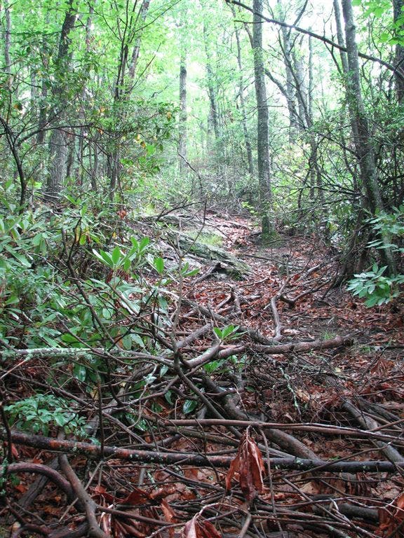
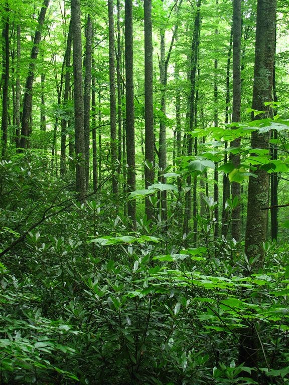
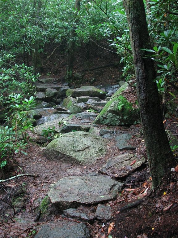
Rhododendrens cover the ground
WPT022
Location: 36.2172164916992, -82.0377197265625
Stream crossing
WPT009
Location: 36.2179183959961, -82.0647659301758
Small stream crossing
WPT033
Location: 36.1935997009277, -82.0039367675781
AT turns E; double track
WPT038
Location: 36.1898002624512, -82.0109176635742
Ramp stile
WPT029
Location: 36.2198486328125, -82.0296478271484
Blue-blazed trail crosses stream
WPT017
Location: 36.2238845825195, -82.1019668579102
White Rocks Mtn.
WPT041
Location: 36.1834487915039, -82.0096817016602
Side trail to the W
WPT043
Location: 36.1794662475586, -82.0124816894531
Bear Branch Rd.
WPT009
Location: 36.2475814819336, -82.1229629516602
Campsite (room for 1 tent)
WPT026
Location: 36.2006149291992, -81.9998321533203
Field
WPT013
Location: 36.2310981750488, -82.1143798828125
AT straight @ jct. with side trail to the W; field
WPT011
Location: 36.2342491149902, -82.1168670654297
Telephone line
WPT006
Location: 36.2170181274414, -81.9768676757812
Small stream crossings
WPT003
Location: 36.2206497192383, -82.0865859985352
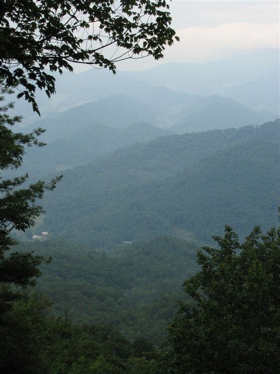
Views to the SSE of valley
WPT035
Location: 36.1925315856934, -82.0039520263672
AT turns W
IMG_1185
Location: 36.2197494506836, -82.0325317382812
IMG_1209
Location: 36.2203483581543, -81.9858856201172
IMG_1141
Location: 36.217399597168, -82.0660629272461
IMG_1221
Location: 36.219425201416, -81.9845733642578
IMG_1193
Location: 36.2205009460449, -82.0305862426758
IMG_1139
Location: 36.2206840515137, -82.0866851806641
IMG_1119
Location: 36.2564659118652, -82.1217803955078
IMG_1140
Location: 36.2209320068359, -82.0860137939453
IMG_1240
Location: 36.204418182373, -81.976432800293
IMG_1241
Location: 36.2043342590332, -81.9792175292969
IMG_1143
Location: 36.2206649780273, -82.0524520874024
IMG_1290
Location: 36.2032661437988, -81.9814987182617
IMG_1138
Location: 36.220085144043, -82.0870513916016
IMG_1199
Location: 36.2205505371094, -82.0292663574219
IMG_1144
Location: 36.2203674316406, -82.0518798828125
IMG_1127
Location: 36.2287483215332, -82.1116485595703
IMG_1260
Location: 36.2031326293945, -81.9814834594726
IMG_1213
Location: 36.2195854187012, -81.9848480224609