Appalachian Trail: TN 91 to Damascus, VA

If you’re lucky enough to cruise through Damascus—dubbed the “friendliest town on the AT”—during Trail Days (usually mid-May), check out this popular festival. Highlights include a talent show, trout rodeo, hiker parade, and free gear repairs.Shelters: Double Springs Shelter: sleeps 6; no privy.
Trail Facts
- Distance: 32.7
Waypoints
WPT010
Location: 36.6308517, -81.7966537
AT switchbacks to the E
WPT004
Location: 36.6354332, -81.7919846
AT turns E at park; gravel walkway parallels S. Beaver Dam Ave.
WPT008
Location: 36.4859009, -81.9658356
Bench; view of field
WPT014
Location: 36.614399, -81.825264
VA-TN border
WPT010
Location: 36.5525818, -81.9318161
Short stone wall
WPT019
Location: 36.5241852, -81.9714355
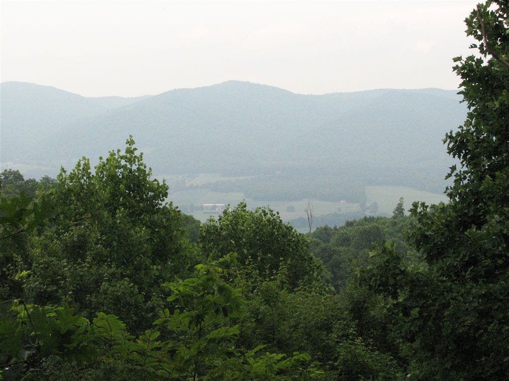
Valley Views to the E
WPT020
Location: 36.5099983, -81.9853668
Campsite (room for 4 tents); blue-blazed Holston Mountain trail to the W
WPT007
Location: 36.6313324, -81.7922821
AT continues straight on trail up mountain (for SOBO). Continue straight on Water St. (for NOBO)
WPT006
Location: 36.4869003, -81.9685135
Fence
WPT005
Location: 36.6318016, -81.7914658
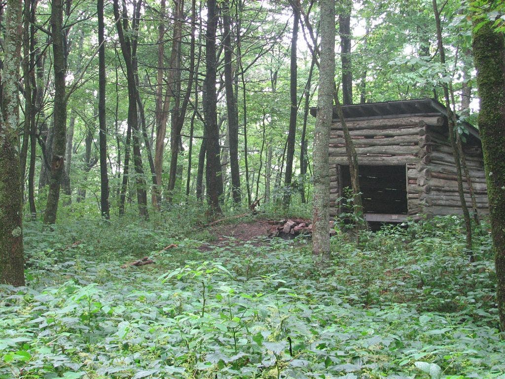
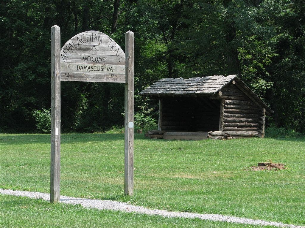
Old shelter (not for overnight use)
WPT004
Location: 36.5724678, -81.9199829
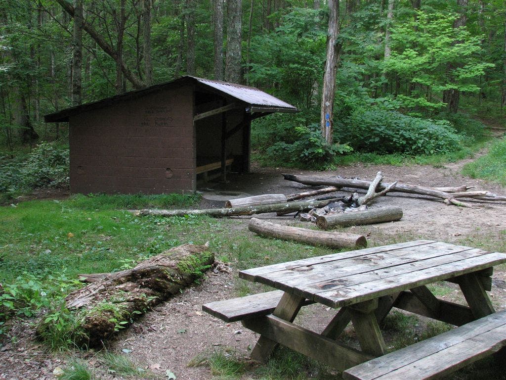
McQueen Knob Emergency Shelter
WPT009
Location: 36.5581818, -81.9315033
Double Spring Gap; campsite (room for 3 tents)
WPT007
Location: 36.4859009, -81.9667358
Farm road
WPT013
Location: 36.5388336, -81.948349
AT veers E across US 421; Low Gap @ right; parking; “The Snake” popular motorcycle route
WPT022
Location: 36.5091515, -81.9860611
Double Springs Shelter
WPT003
Location: 36.5001183, -81.9860306
Piped stream
WPT003
Location: 36.5746346, -81.9150162
McQueen Gap. Cross FS 69
WPT016
Location: 36.6047325, -81.8432007
Campsite (room for 3 tents)
WPT009
Location: 36.4841499, -81.9646149
Farm building
WPT020
Location: 36.5833511, -81.8813477
Campsite (room for 2 tents)
WPT012
Location: 36.5395317, -81.9480515
Jeep road; gate E
WPT001
Location: 36.5809669, -81.9019165
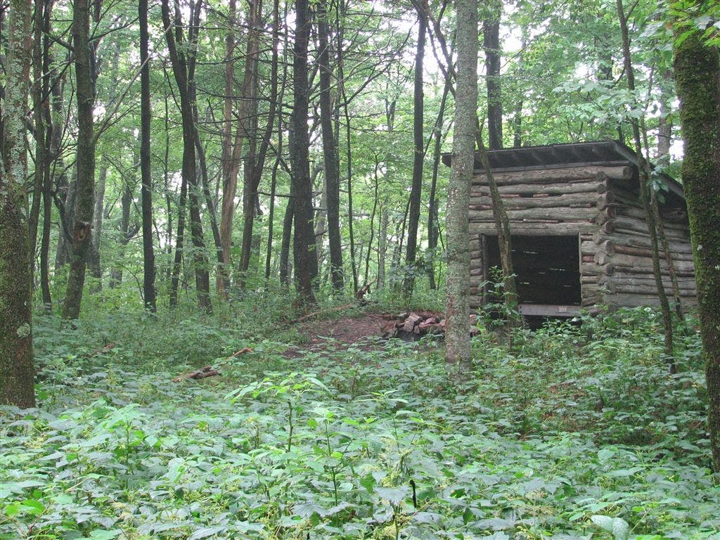
Abingdon Gap Shelter: A simple affair with excellent spots for camping north on the AT. Water source is behind the shelter and significantly down the hill.
WPT012
Location: 36.6226158, -81.8040009
Blue-blazed trail leads to spring E; campsite steep downhill
WPT009
Location: 36.6313019, -81.7948837
Campsite (room for 2 tents)
WPT016
Location: 36.5380325, -81.949501
Campsite (room for 3 tents)
WPT018
Location: 36.5301514, -81.9658508
Valley views to the SE
WPT008
Location: 36.5623817, -81.9326019
Blue-blazed trail to spring
WPT017
Location: 36.5328674, -81.9625473
Campsite (room for 1 tent)
WPT013
Location: 36.6217499, -81.8030853
Piped spring
WPT021
Location: 36.5801849, -81.9012146
Campsite (room for 6 tents)
WPT004
Location: 36.5, -81.9844131
Campsite
WPT021
Location: 36.5118484, -81.9795532
Locust Knob
WPT019
Location: 36.5913658, -81.874649
Campsite (room for 3 tents)
WPT015
Location: 36.6049156, -81.8406296
Blue-blazed Backbone Rock Trail to the E
WPT018
Location: 36.6048508, -81.8639832
Campsite (room for 1 tent)
WPT005
Location: 36.5722504, -81.9208984
Campsite (room for 1 tent) to the W
WPT014
Location: 36.5387344, -81.9488983
Piped spring; picnic table
WPT003
Location: 36.6350594, -81.7889404
Mt. Rogers Outfitters
WPT006
Location: 36.6314659, -81.7913513
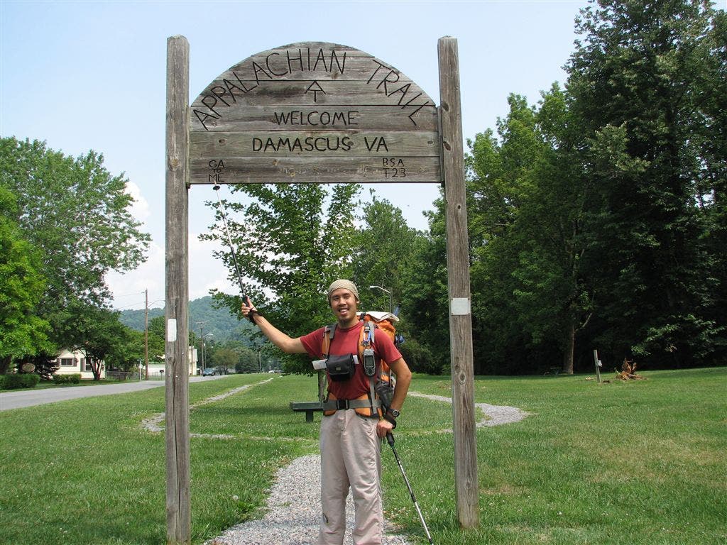
AT turns W onto Water St. @ jct. with Beaver Dam Ave. “Welcome to Damascus” gateway.
WPT008
Location: 36.6320343, -81.7934341
AT turns E
WPT017
Location: 36.6049843, -81.8572998
Campsite (room for 4 tents)
WPT029
Location: 36.4815178, -81.9606018
TN 91. Navigate a maze-like gate; parking
WPT011
Location: 36.5413818, -81.9466476
Side trail leads E for 30 ft. to campsite (room for 1 tent)
WPT011
Location: 36.6276169, -81.799118
Side trail to the W
WPT015
Location: 36.5380821, -81.9488144
Campsite (room for 1 tent)
WPT006
Location: 36.5720673, -81.9212494
McQueen Knob; old tower base
WPT005
Location: 36.4881668, -81.9706345
Stile; field
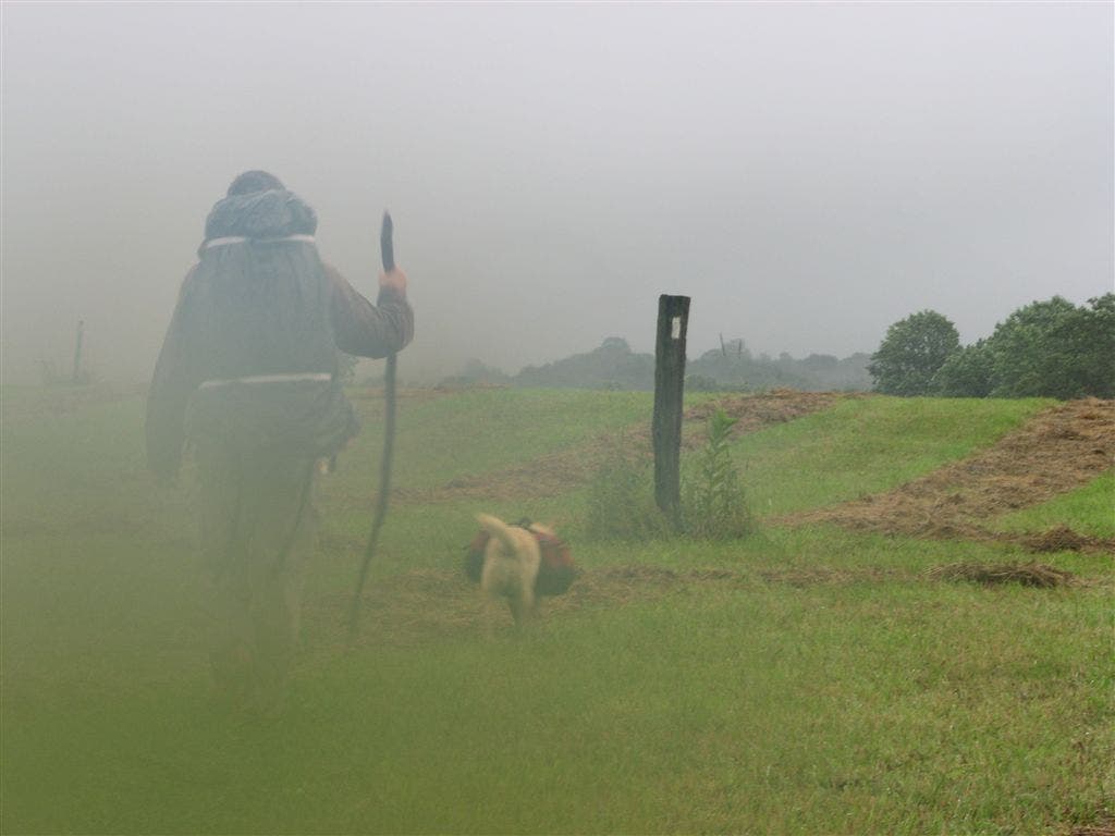
Foggy Trail
Location: 36.4859009, -81.9669037
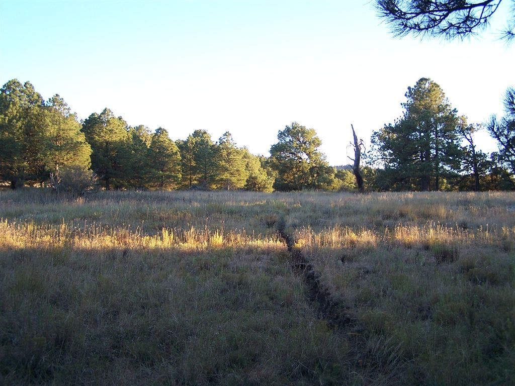
Meadows
Location: 36.4880333, -81.9702835
Views
Location: 36.5300484, -81.9658508
McQueen Knob Emergency Shelter
Location: 36.5723343, -81.9202194
McQueen Knob Emergency Shelter
Location: 36.5723839, -81.9200516
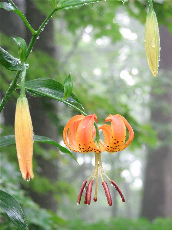
Flora
Location: 36.5814018, -81.9039688
Abingdon Gap Shelter
Location: 36.5808182, -81.9017487
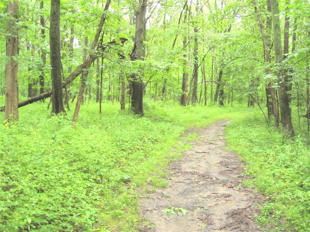
Lush Woods
Location: 36.6041489, -81.8547821
Welcome to Damascus
Location: 36.6314011, -81.7916641
Damascus Sign
Location: 36.6315994, -81.7913818
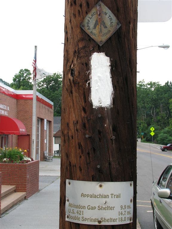
Trail Blaze
Location: 36.6352997, -81.7897339
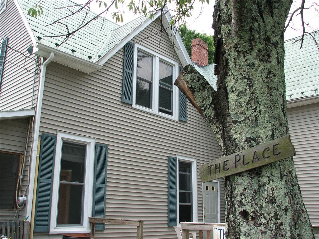
The Place
Location: 36.6339836, -81.787384