Appalachian Trail: Tesnatee Gap to Unicoi Gap

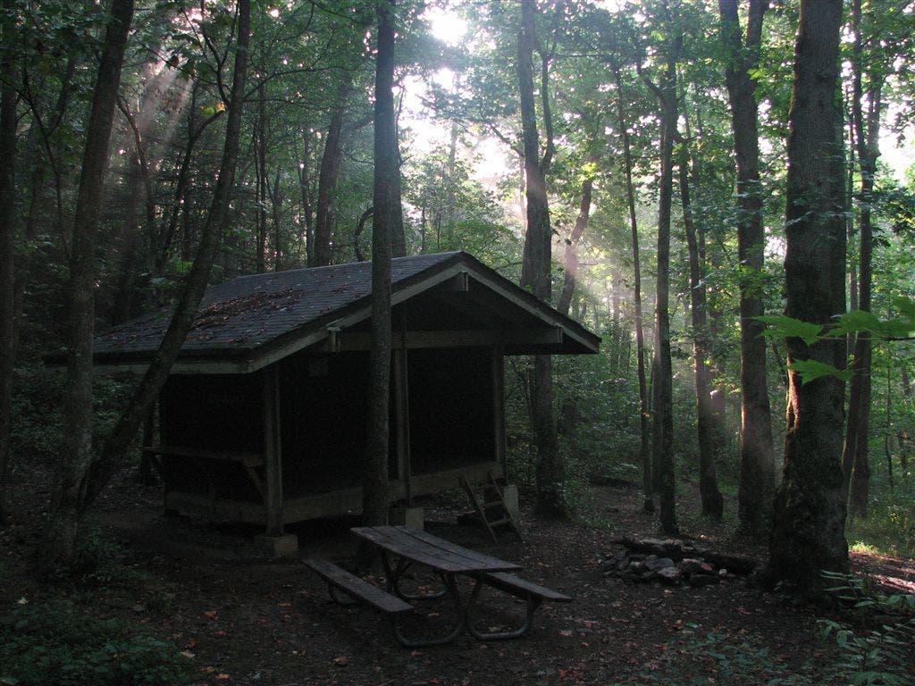
Shelters: Whitley Gap Shelter: sleeps 6; no privy. Low gap shelter: sleeps 7; no privy. Blue Mtn. Shelter: sleeps 7; no privy.


Trail Facts
- Distance: 23.5
Waypoints
WPT025
Location: 34.8211822509766, -83.7822036743164
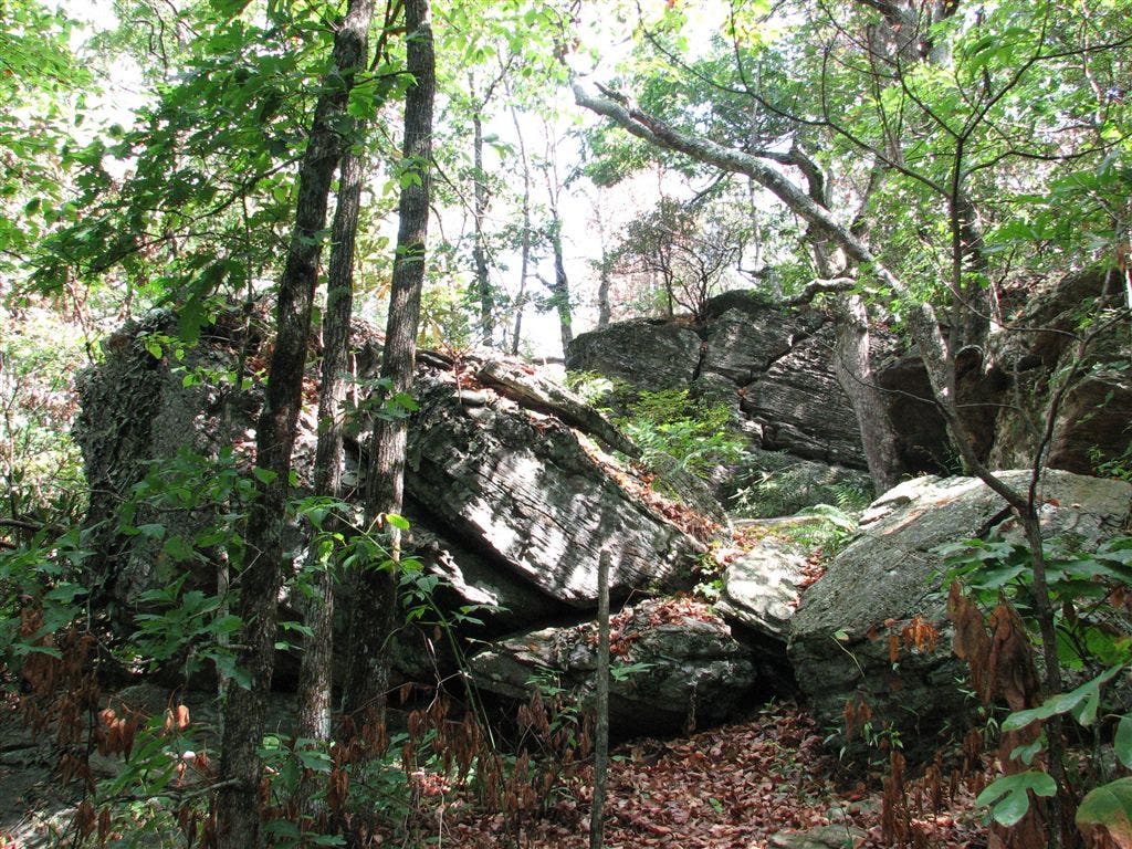
Rocky terrain
WPT003
Location: 34.7716827392578, -83.8287353515625
Partial views to the NW; rock
WPT011
Location: 34.7273826599121, -83.8392181396484
Campsite (room for 3 tents)
WPT004
Location: 34.7690658569336, -83.828987121582
AT crests Sheep Rock Top; campsite (room for 2 tents)
WPT030
Location: 34.8052825927734, -83.8106002807617
Dry stream crossing; campsite (room for 1 tent)
WPT015
Location: 34.7254486083984, -83.841796875
Wildcat Mtn.; campsite (room for 1 tent)
WPT010
Location: 34.7327499389648, -83.8296661376953
White Oak Stamp Gap
WPT017
Location: 34.8166007995606, -83.7664642333984
Campsite (room for 3 tents)
WPT012
Location: 34.7258682250977, -83.8397369384766
Hogpen Gap; parking; GA 348
WPT039
Location: 34.7763175964356, -83.824951171875
Spring
WPT028
Location: 34.822566986084, -83.7969970703125
Chattahoochee Gap; blue-blazed Jacks Gap Trail to the W
WPT018
Location: 34.8166847229004, -83.7667999267578
Side trail to shelter
WPT021
Location: 34.8167343139648, -83.7727355957031
Henson Gap
WPT008
Location: 34.7430992126465, -83.8268508911133
Sapling Gap; campsite (room for 2 tents)
ZZZ005
Location: 34.7263984680176, -83.8471145629883
Tesnatee Gap and Logan Turnpike; GA 348; side trail to the E; parking
WPT013
Location: 34.8027496337891, -83.7449340820312
Rocky path
WPT034
Location: 34.797550201416, -83.8089981079102
AT follows railroad grade
WPT037
Location: 34.7794494628906, -83.8217163085938
Small stream crossing
WPT005
Location: 34.7649841308594, -83.8302841186524
Campsite (room for 1 tent)
WPT022
Location: 34.8176002502441, -83.7754974365234
Campsite (room for 4 tents)
WPT020
Location: 34.8167343139648, -83.7680816650391
Spring
WPT040
Location: 34.7762680053711, -83.824462890625
Low Gap Shelter
WPT001
Location: 34.7761993408203, -83.8244476318359
Low Gap Shelter
WPT015
Location: 34.8126487731934, -83.7550354003906
Blue Mtn.
WPT014
Location: 34.7247848510742, -83.8410339355469
AT turns W @ jct. with blue-blazed trail to Whitley Gap Shelter
WPT035
Location: 34.7938499450684, -83.8078994750976
Campsite (room for 3 tents)
WPT014
Location: 34.809684753418, -83.7536468505859
AT turns W @ jct. with side trail to the E
WPT013
Location: 34.7252502441406, -83.8391647338867
Blue-blazed trail leads E to water
WPT023
Location: 34.8183670043945, -83.7773513793945
Blue-blazed trail leads W to water
WPT006
Location: 34.7558517456055, -83.8283843994141
Wide Gap
WPT029
Location: 34.8109321594238, -83.8100357055664
AT veers L @ old jeep road
WPT016
Location: 34.7256317138672, -83.8426132202148
Views to the SW of Cowrock Mnt
WPT009
Location: 34.7322158813477, -83.8296203613281
Campsite (room for 2 tents)
WPT032
Location: 34.801700592041, -83.8050155639648
Horsetrough Mtn.; campsite (room for 4 tents)
WPT036
Location: 34.7898826599121, -83.8134002685547
Side trail to the E
WPT024
Location: 34.8217315673828, -83.7773132324219
Side trail leads to campsite and water
ZZZ006
Location: 34.8021659851074, -83.7429656982422
Unicoi Gap. Cross GA 75; big parking area; Georgia Appalachian Trail Club plaque
WPT019
Location: 34.8171653747559, -83.7666702270508
Blue Mtn. Shelter
WPT007
Location: 34.7467994689941, -83.8261642456055
Poor Mtn.
WPT016
Location: 34.8148345947266, -83.7612991333008
Campsite (room for 3 tents)
WPT026
Location: 34.8210334777832, -83.7850036621094
Spring (may be dry)
WPT027
Location: 34.8223152160644, -83.7870330810547
Red Clay Gap; campsite (room for 2 tents)
WPT031
Location: 34.8043174743652, -83.8062515258789
Campsite (room for 2 tents)
WPT038
Location: 34.7768821716309, -83.8258666992188
Low Gap. Side trail to shelter
WPT033
Location: 34.8001174926758, -83.8083190917969
Tiny stream crossing
IMG_5855
Location: 34.726131439209, -83.8440322875976
IMG_5811
Location: 34.8168182373047, -83.7668151855469
IMG_5832
Location: 34.7763328552246, -83.8247528076172