Appalachian Trail: Tanyard Gap to Allen Gap

Shelters: Spring Mountain Shelter: sleeps 5; privy.


Trail Facts
- Distance: 13.0
Waypoints
WPT007
Location: 35.9187317, -82.797966
Spring; drip
WPT012
Location: 35.9864845, -82.7858963
Campsite to E (room for 1 tent)
WPT018
Location: 35.9518166, -82.7887192
Campsite (room for 5 tents)
WPT009
Location: 35.9145012, -82.7921524
AT switchbacks W @ jct. with trail to gravel road
WPT015
Location: 35.9748001, -82.7814178
Campsite (room for 1 tent)
WPT014
Location: 35.9856339, -82.7863846
Campsite (room for 1 tent)
WPT016
Location: 35.9695816, -82.777298
Campsite (room for 3 tents); Little Paint Creek Trail to the W
WPT006
Location: 35.9222183, -82.8024826
Roundtop Ridge Trail to the W
WPT022
Location: 35.9323997, -82.8044357
Campsite (room for 1 tent)
WPT017
Location: 35.9603004, -82.7856369
Campsite (room for 2 tents)
WPT003
Location: 35.928215, -82.802948
Spring (puddle)
WPT005
Location: 35.9272995, -82.8050003
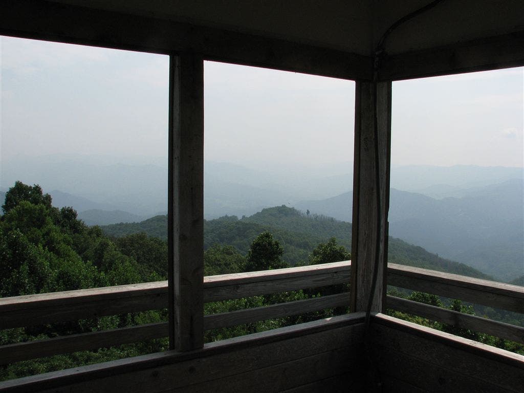
Rich Mtn. and fire tower
ZZZ017
Location: 35.9100342, -82.7910309
Tanyard Gap; US 25 overpass
WPT002
Location: 35.9285011, -82.8027191
Trail to campsite
WPT004
Location: 35.9277992, -82.8031464
Side trail leads W to Rich Mtn. firetower
WPT021
Location: 35.934433, -82.8050842
Hurricane Gap; gravel road intersection with FR 422 and road to Rich Mtn.
WPT011
Location: 35.9104156, -82.7911682
AT turns W
WPT020
Location: 35.9358673, -82.8059998
Gravel road; Cherokee NF sign
WPT019
Location: 35.9519157, -82.7890701
Spring Mountain Shelter
WPT023
Location: 35.9318504, -82.8035355
Tiny stream crossing
ZZZ018
Location: 35.9870758, -82.7868576
Allen Gap crossing; NC 208 S/TN 70 N
WPT001
Location: 35.9285698, -82.8022003
Campsite (room for 5 tents)
WPT024
Location: 35.9289513, -82.8029022
Side trail to the E
WPT010
Location: 35.9104004, -82.7914505
AT turns E; road and woods boundary
WPT025
Location: 35.9287834, -82.8030167
Side trail to the E
WPT013
Location: 35.9860344, -82.7856522
Gravel road; garbage can
WPT008
Location: 35.9161339, -82.7978134
Campsite (room for 2 tents)
IMG_2969
Location: 35.910717, -82.7916031
IMG_2815
Location: 35.9281006, -82.8030701
IMG_2797
Location: 35.9519997, -82.789566
IMG_2866
Location: 35.9272346, -82.805069