Appalachian Trail: Summit Cut, VA to Dickey Gap

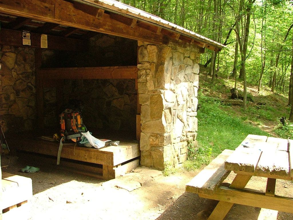
Shelters: Thomas Knob Shelter; sleeps 16. Wise Shelter; sleeps 8. Old Orchard Shelter; sleeps 6. Hurricane Mountain Shelter; sleeps 8.


Trail Facts
- Distance: 52.8
Waypoints
WPT043
Location: 36.6514167785644, -81.4815139770508
Tiny spring
WPT028
Location: 36.656867980957, -81.5543518066406
Tiny stream crossing
WPT019
Location: 36.6595497131348, -81.5588684082031
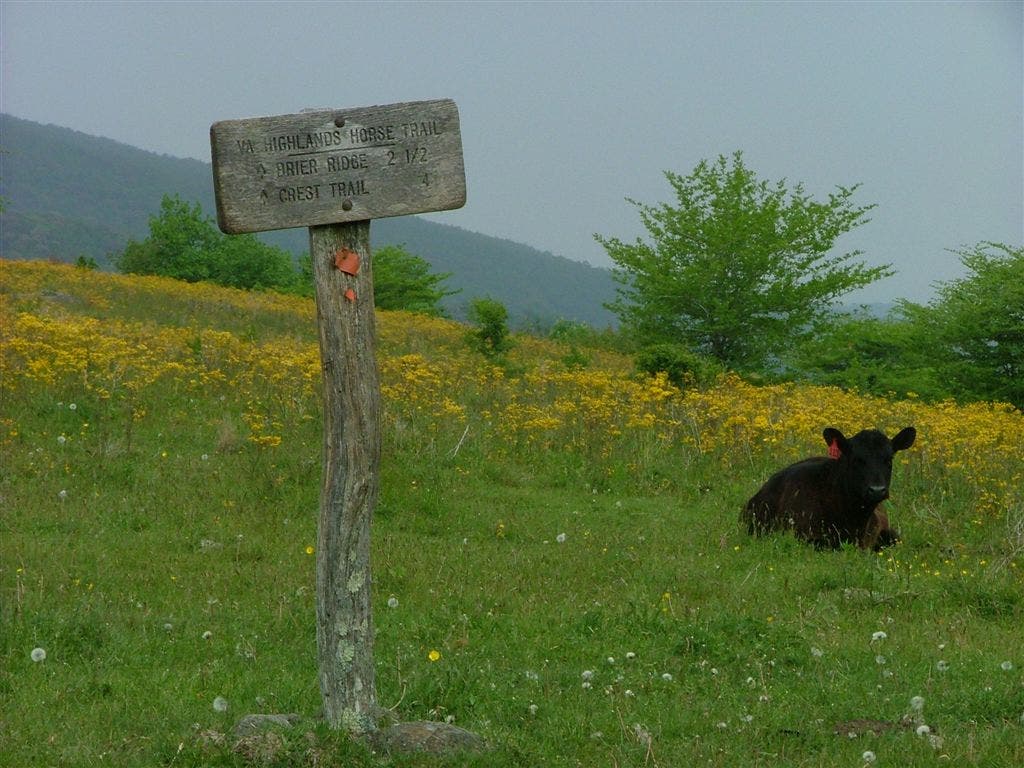
Blue-blazed trail to the E; VA Highlands Horse Trail
WPT008
Location: 36.6318511962891, -81.6018295288086
Cross Whitetop Mtn. Rd./FS 89
WPT004
Location: 36.6743507385254, -81.4908676147461
Tiny stream crossing
WPT005
Location: 36.6345176696777, -81.6201171875
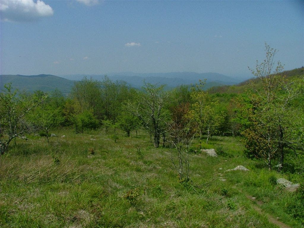
Views to the W
WPT019
Location: 36.6391487121582, -81.5093688964844
Trail to parking; Massie Gap
WPT037
Location: 36.6386184692383, -81.6435699462891
Z-shaped gate turns E
WPT001
Location: 36.6698722839356, -81.4872436523438
AT turns E @ jct. with VA Highlands Horse Trail; gate
WPT025
Location: 36.7072677612305, -81.5154190063476
Ridgetop
WPT022
Location: 36.6448822021484, -81.5039367675781
Tiny stream crossing E for 20 ft.
WPT035
Location: 36.635383605957, -81.6444702148438
AT turns W
WPT016
Location: 36.6491165161133, -81.5159149169922
Straight @ 4-way
WPT031
Location: 36.7186660766602, -81.5085144042969
Stream
WPT013
Location: 36.6784820556641, -81.5130310058594
Wilderness Boundary
WPT036
Location: 36.6571235656738, -81.5361938476562
Trail to campsite on L
WPT015
Location: 36.6828498840332, -81.5107803344726
AT turns W
WPT011
Location: 36.6422157287598, -81.5948638916016
Grassy terrain and birch trees
WPT014
Location: 36.6790161132812, -81.5120468139648
Small spring; big rock
WPT018
Location: 36.6513481140137, -81.577262878418
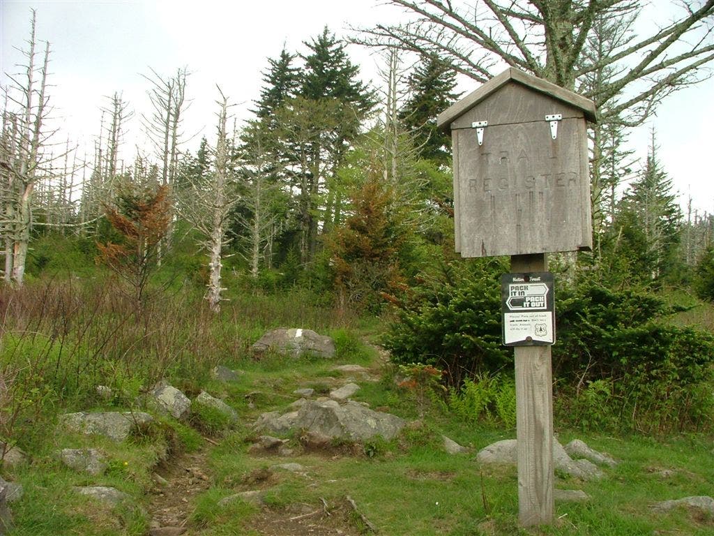
Register; Lewis Fork Wilderness
WPT037
Location: 36.6552848815918, -81.4984817504883
AT turns E @ Mt. Rogers National Recreation Area
WPT020
Location: 36.6591339111328, -81.5580520629883
No camping within 500 ft.
WPT041
Location: 36.6548652648926, -81.4949188232422
Scales Trail; AT turns W
ZZZ032
Location: 36.7205276489258, -81.4615783691406
Dickey Gap; VA 16; VA 650. Side trip: Turn R and follow VA 35 for hostel and restaurants in Troutdale
WPT030
Location: 36.6512985229492, -81.5013198852539
Small stream crossing
WPT039
Location: 36.6556167602539, -81.4955978393555
Wilson Creek Trail
WPT024
Location: 36.6970176696777, -81.5071487426758
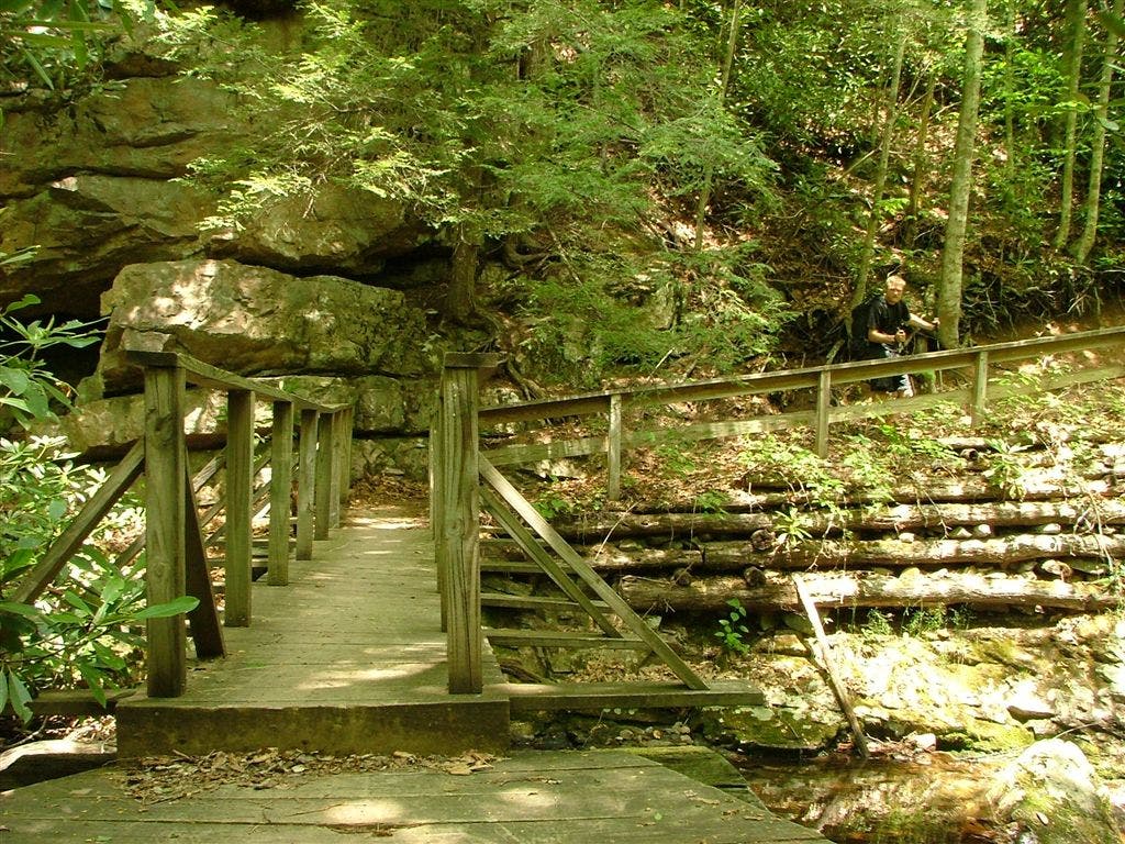
Big bridge over stream
WPT016
Location: 36.646183013916, -81.5830154418945
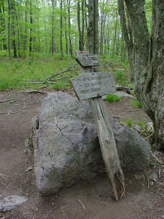
VA 600; parking; Elk Garden
WPT040
Location: 36.6375007629394, -81.6400527954102
Trail
WPT013
Location: 36.6572494506836, -81.5360641479492
Campsite
WPT028
Location: 36.6484184265137, -81.5038833618164
Gate
WPT006
Location: 36.6544151306152, -81.5281295776367
AT turns E; Grayson Highlands; gate
WPT009
Location: 36.6762008666992, -81.5010147094726
AT turns E @ jct. with trail leading to views; gate
WPT034
Location: 36.6581153869629, -81.5376968383789
Blue-blazed trail leads to Mt. Rogers
WPT044
Location: 36.651798248291, -81.4800338745117
Campsite to the E is a beautiful site exposed on a bald area, but can be easily overused
WPT023
Location: 36.6967010498047, -81.5065155029297
Straight @ 4-way
WPT010
Location: 36.6763343811035, -81.5011520385742
AT straight @ jct. with blue-blazed Pine Mtn. Trail; Pine Mtn.
WPT024
Location: 36.6593818664551, -81.5553512573242
Small stream crossing
WPT015
Location: 36.6521148681641, -81.5166473388672
Views to the E
WPT020
Location: 36.6951332092285, -81.5062866210938
Stream; bridge crossing
WPT030
Location: 36.7173156738281, -81.5145034790039
AT switchbacks E @ jct. with Hurricane Creek Trail
WPT008
Location: 36.6771507263184, -81.5
AT turns E; gate
WPT029
Location: 36.7142333984375, -81.5101852416992
Trail to Hurricane Shelter
WPT018
Location: 36.6423988342285, -81.5159530639648
VA Highlands Trail; Rhododendron Trail; AT turns E; Grayson Highlands boundary
WPT036
Location: 36.7166328430176, -81.4918518066406
Stream
WPT012
Location: 36.6396331787109, -81.5869522094726
Tiny stream crossing
WPT017
Location: 36.6484680175781, -81.5789489746094
Bench W
WPT006
Location: 36.6354179382324, -81.6168670654297
Buzzard Rock; 360-degree views
WPT016
Location: 36.6832504272461, -81.5110321044922
Old Orchard Shelter
WPT027
Location: 36.6512489318848, -81.5476150512695
AT turns W @ jct. with blue-blazed trail to Horse Trail; views of Grayson Highlands SP to the SE
WPT041
Location: 36.7143173217773, -81.4740829467774
Cross Comers Creek on bridge
WPT038
Location: 36.6372680664062, -81.6430358886719
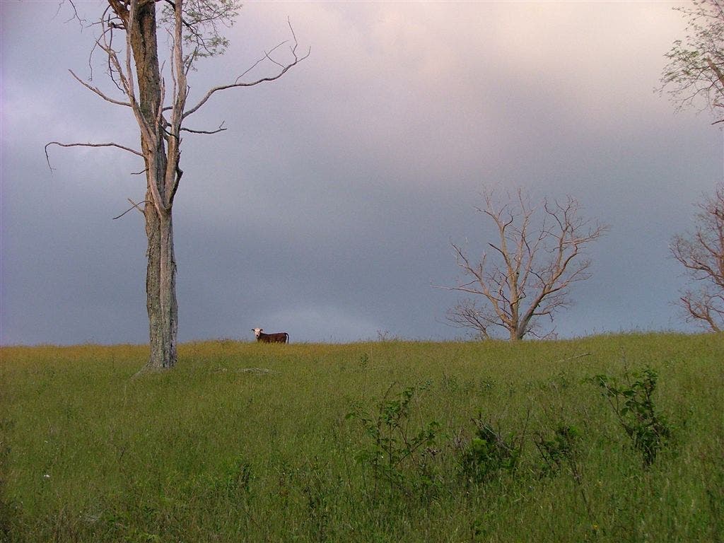
Views to the SW; field; cows
WPT033
Location: 36.6567001342773, -81.539436340332
View of the rocks behind Thomas Knob Shelter and Grayson Highlands SP
WPT039
Location: 36.6372489929199, -81.6404495239258
VA 601; Beech Mtn. Rd (gravel); parking
WPT005
Location: 36.6749649047852, -81.4911193847656
Good campsite to the W
WPT036
Location: 36.6551666259766, -81.4983978271484
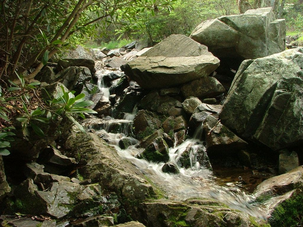
Bridge crossing; water; falls
WPT035
Location: 36.6550178527832, -81.4980697631836
Stile
WPT010
Location: 36.6576995849609, -81.5222702026367
AT veers W
WPT002
Location: 36.6394157409668, -81.638801574707
AT. Turn E to reach campsite
WPT032
Location: 36.6549835205078, -81.5412368774414
Stream
WPT015
Location: 36.646484375, -81.5837173461914
Campsite
WPT044
Location: 36.701301574707, -81.4424667358398
Baptist Church Hostel
WPT045
Location: 36.6554336547852, -81.4794998168945
Bearpen trail; Little Wilson Creek Wilderness boundary
WPT046
Location: 36.6563148498535, -81.4794464111328
Gate; Field
WPT020
Location: 36.6413497924805, -81.5057144165039
Rocks
WPT038
Location: 36.6557502746582, -81.4974670410156
Small stream crossing
WPT031
Location: 36.6539840698242, -81.4985198974609
Wise Shelter
WPT040
Location: 36.7186317443848, -81.4810638427734
Small stream crossing
WPT038
Location: 36.7195167541504, -81.4819183349609
AT turns E @ jct. with trail to Hurricane Campground
WPT002
Location: 36.7040176391602, -81.4447860717774
Troutdale; Jerry’s Kitchen
WPT014
Location: 36.6526260375977, -81.5168380737305
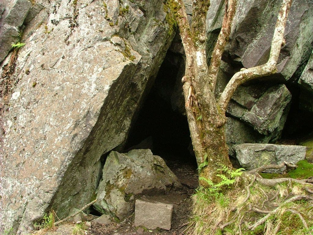
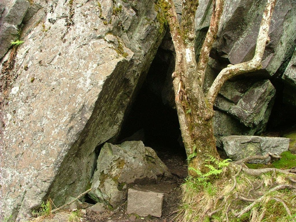
AT passes through a cave. Note: This is easy to miss since there is a trail around cave
WPT002
Location: 36.673282623291, -81.4889984130859
Gate
WPT050
Location: 36.6696968078613, -81.4862213134766
Gate
WPT039
Location: 36.7148323059082, -81.4755172729492
Blue-blazed Comers Creek Falls Trail
WPT042
Location: 36.6544151306152, -81.4935836791992
Little Wilson Creek Wilderness; register; gate
WPT009
Location: 36.657901763916, -81.5223159790039
AT turns E @ jct. with Crest Trail
WPT013
Location: 36.6531181335449, -81.5177536010742
AT turns W
WPT037
Location: 36.718334197998, -81.4859313964844
Small stream crossing
WPT008
Location: 36.6578674316406, -81.5226516723633
Blue-blazed Pine Mtn.Trail leads to rock views; Lewis Fork Wilderness
WPT035
Location: 36.6573333740234, -81.5366363525391
Lewis Fork Wilderness
WPT003
Location: 36.6736679077148, -81.4896697998047
Campsite to the E
WPT022
Location: 36.6589164733887, -81.5572204589844
Deep Gap. Blue-blazed trail to E
WPT047
Location: 36.6620826721191, -81.4807968139648
Stone Mtn. (4,800 ft.)
WPT033
Location: 36.654468536377, -81.4980163574219
Straight @ 4-way
WPT022
Location: 36.6965675354004, -81.5064315795898
VA 603 and Fox Creek
WPT032
Location: 36.7192153930664, -81.5039367675781
Stream
WPT027
Location: 36.7128829956055, -81.5130004882812
AT switchbacks
WPT029
Location: 36.6487998962402, -81.5034484863281
AT turns E
WPT011
Location: 36.6556015014648, -81.5206298828125
Rocky bluff
WPT025
Location: 36.6467819213867, -81.5056838989258
Small streams
WPT017
Location: 36.6426315307617, -81.5159683227539
Pass register @ trail jct.; campsite; continue N
WPT012
Location: 36.6530685424805, -81.5177001953125
Jct. with blue-blazed Wilburn Ridge Trail (rejoins AT in 1 mi.)
WPT031
Location: 36.638599395752, -81.6481018066406
Campsite to the W
WPT004
Location: 36.6564331054688, -81.5348815917969
Z-shaped gate turns E
WPT004
Location: 36.6343154907227, -81.6205139160156
Bald
WPT007
Location: 36.676700592041, -81.4925689697266
Tiny stream crossing
WPT021
Location: 36.6431655883789, -81.5007019042969
AT veers W @ jct. with blue-blazed spur
WPT034
Location: 36.65478515625, -81.4978637695312
AT turns W
WPT009
Location: 36.6330337524414, -81.6017684936524
Campsite
WPT012
Location: 36.6778984069824, -81.5088348388672
AT dips briefly into Lewis Fork Wilderness again
WPT032
Location: 36.6541481018066, -81.4985809326172
AT
WPT040
Location: 36.6556510925293, -81.4954681396484
Bridge crossing; water
WPT038
Location: 36.6353988647461, -81.613166809082
Terrain changes from bald to woods
WPT034
Location: 36.6375999450684, -81.6468963623047
Small stream crossing
WPT007
Location: 36.6320152282715, -81.6039962768555
Spring
WPT019
Location: 36.6917991638184, -81.506950378418
Lewis Fork Wilderness
WPT037
Location: 36.6566162109375, -81.5352630615234
Thomas Knob Shelter: A beautiful two-story shelter surrounded by wild ponies that, at times, climb over boundary fences and wander around the shelter. Water source behind shelter in horse area is questionable (even though fenced in). A beautiful view of the sunset can also be seen from behind shelter
WPT005
Location: 36.6544494628906, -81.5316696166992
AT continues straight
WPT023
Location: 36.6590156555176, -81.556266784668
No camping
WPT051
Location: 36.6698036193848, -81.4868850708008
The Scales: Campground with privy. Horse trailers park here to start their journey. Lovely field for camping, but no water; seasonal caretaker
WPT007
Location: 36.6553001403809, -81.5260009765625
Campsite
WPT042
Location: 36.7177848815918, -81.4669342041016
Bridge crossing
WPT028
Location: 36.7130012512207, -81.5122528076172
Tentsite for Hurricane Shelter
WPT033
Location: 36.6381149291992, -81.647331237793
Unofficial campsite (room for 4 tents)
WPT001
Location: 36.6401481628418, -81.6489181518555
US 58; Summit Cut, VA; stream
WPT023
Location: 36.6450653076172, -81.5059661865234
Quebec Branch
WPT011
Location: 36.6787338256836, -81.5053024291992
Small spring; AT turns W
WPT006
Location: 36.6758155822754, -81.4919204711914
Tiny spring
WPT026
Location: 36.7087821960449, -81.5185852050781
Iron Mtn. Trail; yellow blazes
WPT024
Location: 36.6451988220215, -81.5061340332031
Walk through gate
WPT026
Location: 36.6594505310059, -81.5547332763672
AT switchbacks; blue-blazed trail to the W; Mt. Rogers Trail
WPT021
Location: 36.659065246582, -81.5579986572266
Blue-blazed trail to the E
WPT033
Location: 36.716983795166, -81.5
Telephone line
WPT014
Location: 36.6451148986816, -81.5850524902344
Spring
WPT049
Location: 36.6695327758789, -81.486701965332
Campsite and privy
WPT021
Location: 36.6956481933594, -81.5061492919922
Campsite and picnic table
WPT041
Location: 36.6391334533691, -81.6382675170898
Campsite
WPT003
Location: 36.6394996643066, -81.6356964111328
Small stream crossing
WPT001
Location: 36.6572494506836, -81.5360641479492
Campsite
WPT026
Location: 36.6470489501953, -81.5054321289062
Small stream crossing
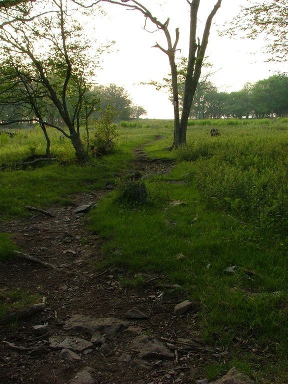
Grassy Field
Location: 36.6376342773438, -81.6432189941406
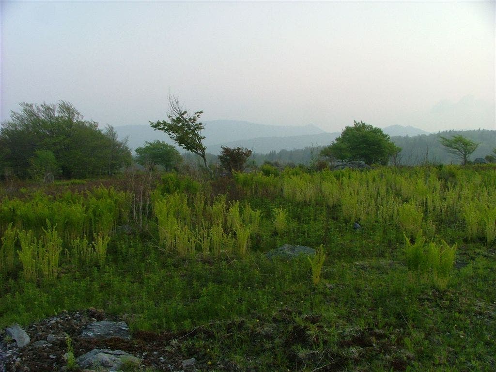
Expansive Views
Location: 36.6344985961914, -81.6199340820312
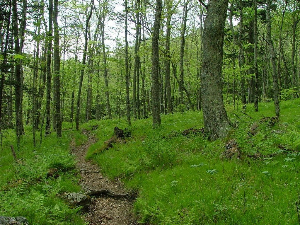
Forest
Location: 36.6372680664062, -81.5991134643555
Birch Forest
Location: 36.6423835754394, -81.594352722168
Cow
Location: 36.6462821960449, -81.5825653076172
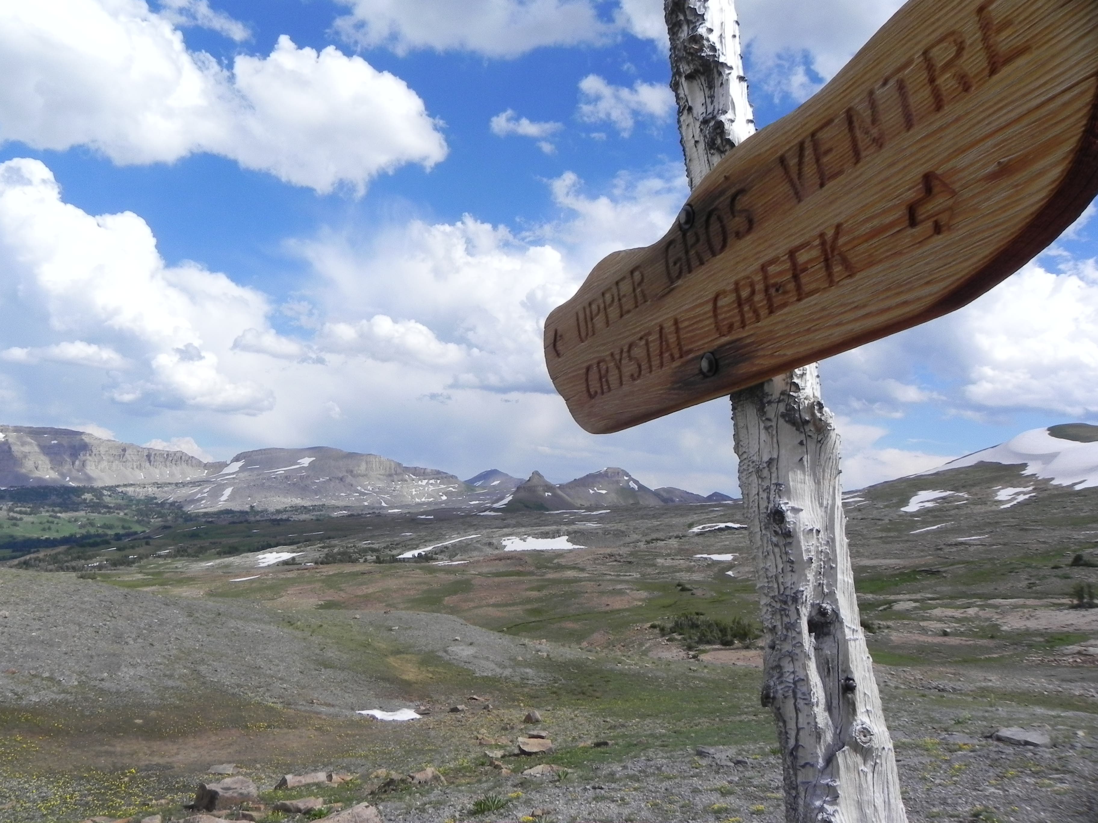
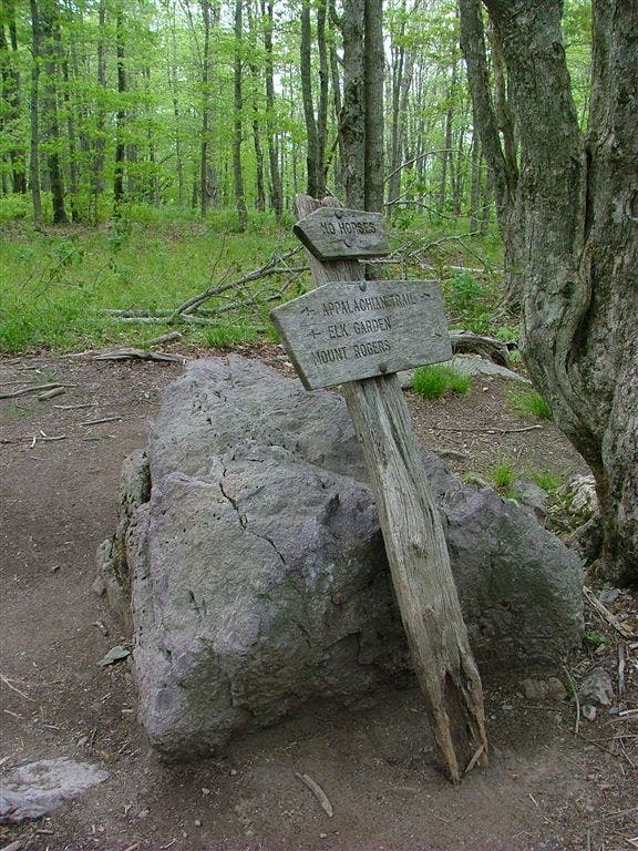
Trail Sign
Location: 36.6589317321777, -81.5570831298828
Meadow
Location: 36.6512489318848, -81.5476150512695
Rolling Hills
Location: 36.6511993408203, -81.5474319458008
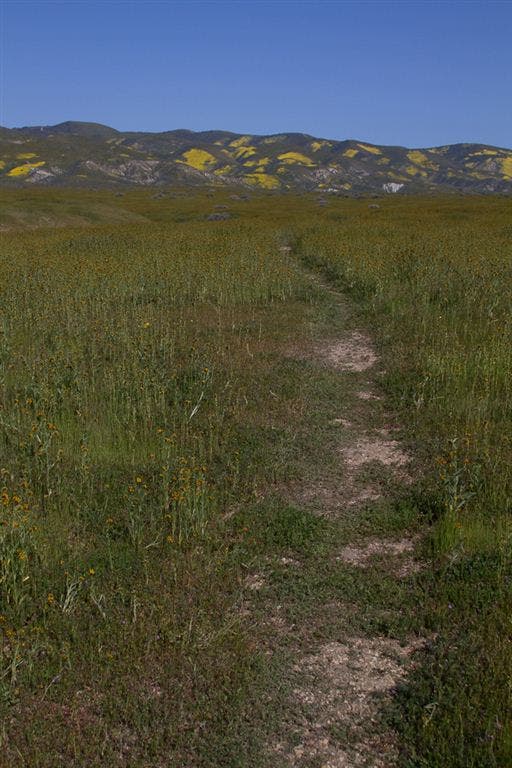
Grassy Trail
Location: 36.6571006774902, -81.5360336303711
Trail Sign
Location: 36.6544990539551, -81.5272979736328
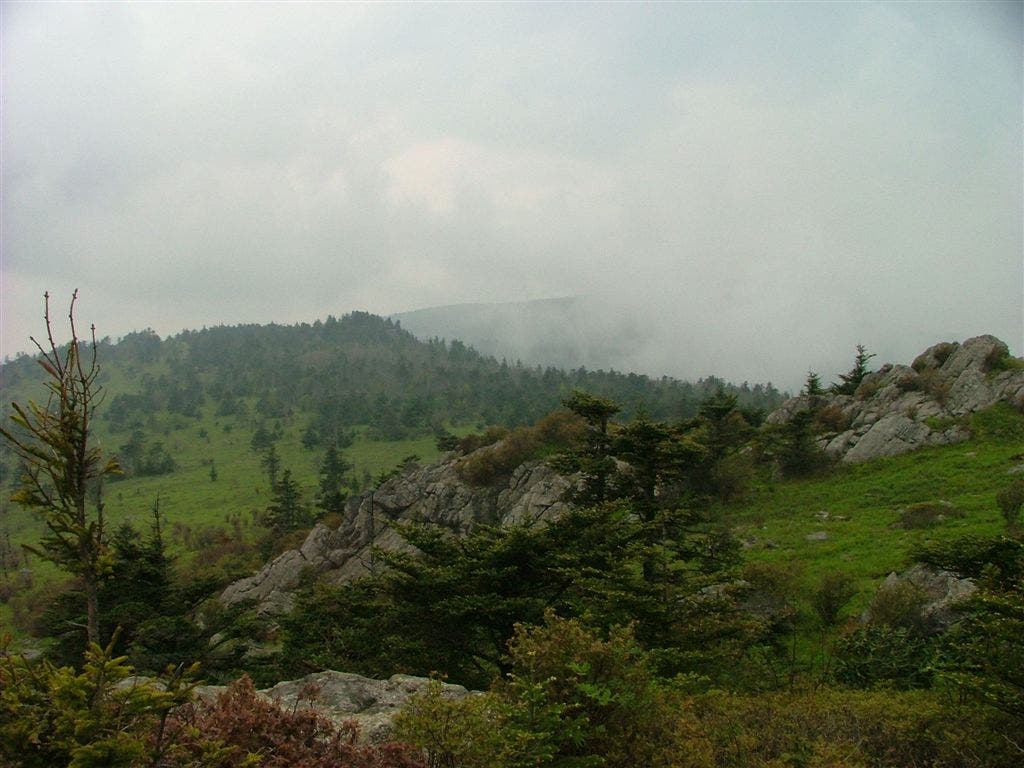
Views
Location: 36.6557006835938, -81.5206832885742
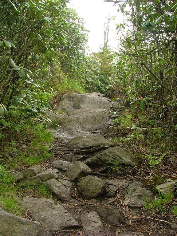
Rocky Trail
Location: 36.6526336669922, -81.5168991088867
Rocky Passage
Location: 36.6526184082031, -81.5171813964844
Rocky Passage
Location: 36.6526184082031, -81.5171813964844
Trail Register
Location: 36.6425666809082, -81.5159530639648
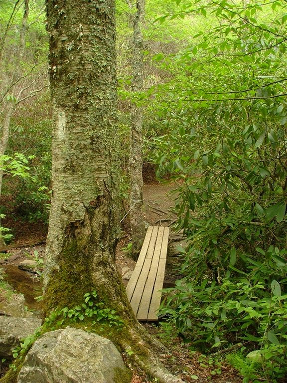
Wood Footbridge
Location: 36.6450843811035, -81.5061492919922
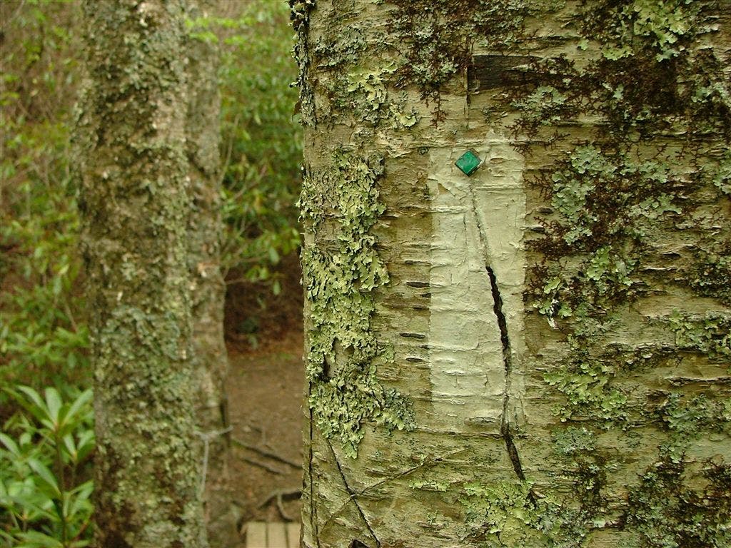
Trail Blaze
Location: 36.645149230957, -81.5059814453125
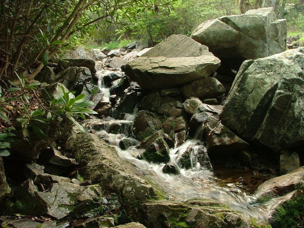
Cascading Creek
Location: 36.6551513671875, -81.4982986450195
Trail Sign
Location: 36.654914855957, -81.4945983886719
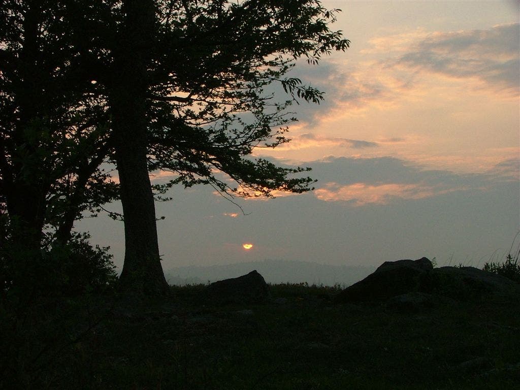
Dusk
Location: 36.6546516418457, -81.4939346313476
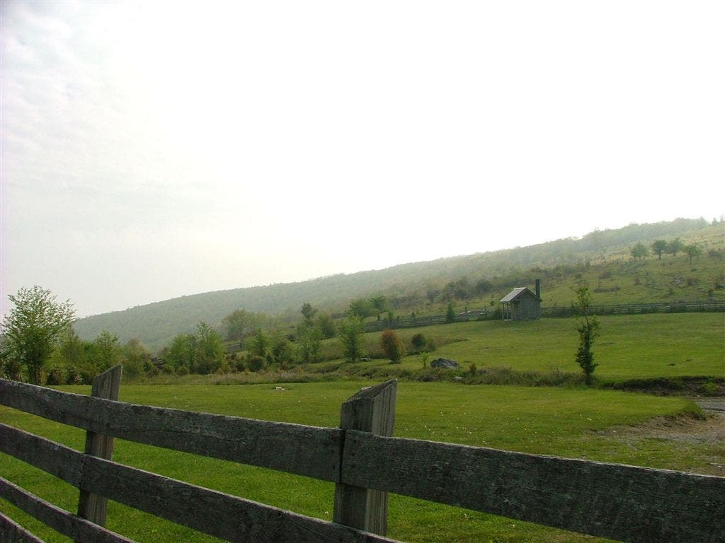
Pastoral Views
Location: 36.6563491821289, -81.4794311523438
Open Views
Location: 36.6576499938965, -81.4806671142578
Sunset
Location: 36.6621017456055, -81.4808197021484
Fields
Location: 36.6699829101562, -81.4873657226562
Trail Sign
Location: 36.6966667175293, -81.5065002441406
Stairs
Location: 36.6969184875488, -81.5068664550781
Cascading Creek
Location: 36.7143325805664, -81.4740829467774
Baptist Church Hostel
Location: 36.701301574707, -81.442253112793
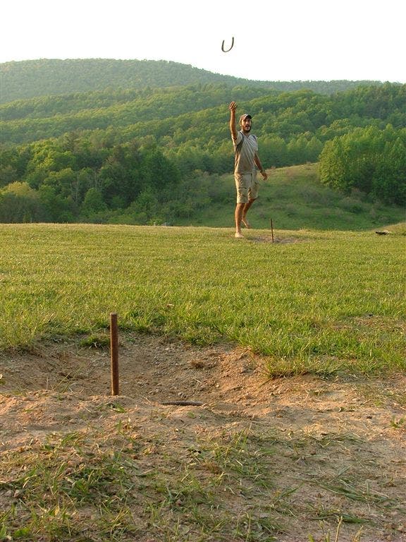
Horseshoe Toss
Location: 36.7012329101562, -81.4419097900391
A rock cave on Pine Mountain
Location: 36.6526184082031, -81.5171813964844
Views overlooking Grayson Highlands State Park
Location: 36.6574974060059, -81.4806137084961