Appalachian Trail: South Arm Road to ME 17

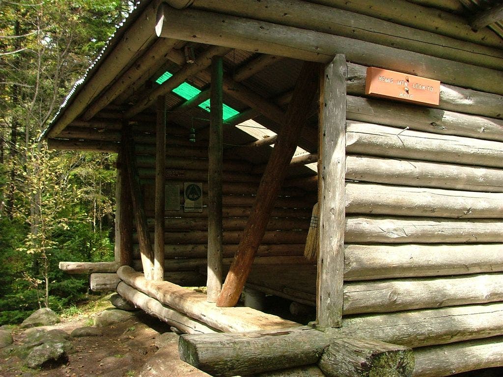
Shelters: Bemis Mountain Lean-to; sleeps 8.


Trail Facts
- Distance: 19.3
Waypoints
WPT005
Location: 44.8255004882812, -70.7450332641602
Views to the E
WPT009
Location: 44.810848236084, -70.755729675293
Trail to Bemis Mtn. Lean-to
WPT007
Location: 44.8286399841309, -70.7343902587891
Bemis Mtn. First Peak
WPT018
Location: 44.7673492431641, -70.7686004638672
Clearwater Brook Trail
WPT010
Location: 44.8109321594238, -70.7564163208008
Spring
ZZZ022
Location: 44.7214012145996, -70.7859649658203
South Arm Rd. and Black Brook
WPT004
Location: 44.8349838256836, -70.7239990234375
Old RR bed; AT zigzags W, then E
WPT017
Location: 44.7756004333496, -70.7672805786133
Viewpoint
WPT009
Location: 44.8058433532715, -70.7592926025391
Bemis Mtn. Third Peak
WPT013
Location: 44.7949180603027, -70.7683486938476
View of signed vista
WPT006
Location: 44.8251457214356, -70.7482299804688
Bemis Mtn. Second Peak
WPT020
Location: 44.7462844848633, -70.7657852172852
View of lakes
WPT002
Location: 44.8351669311523, -70.717399597168
Doubletrack
WPT007
Location: 44.8204154968262, -70.7482528686524
Balds
WPT015
Location: 44.7826652526856, -70.7708969116211
Water: Stream or spring
WPT001
Location: 44.8359832763672, -70.7100524902344
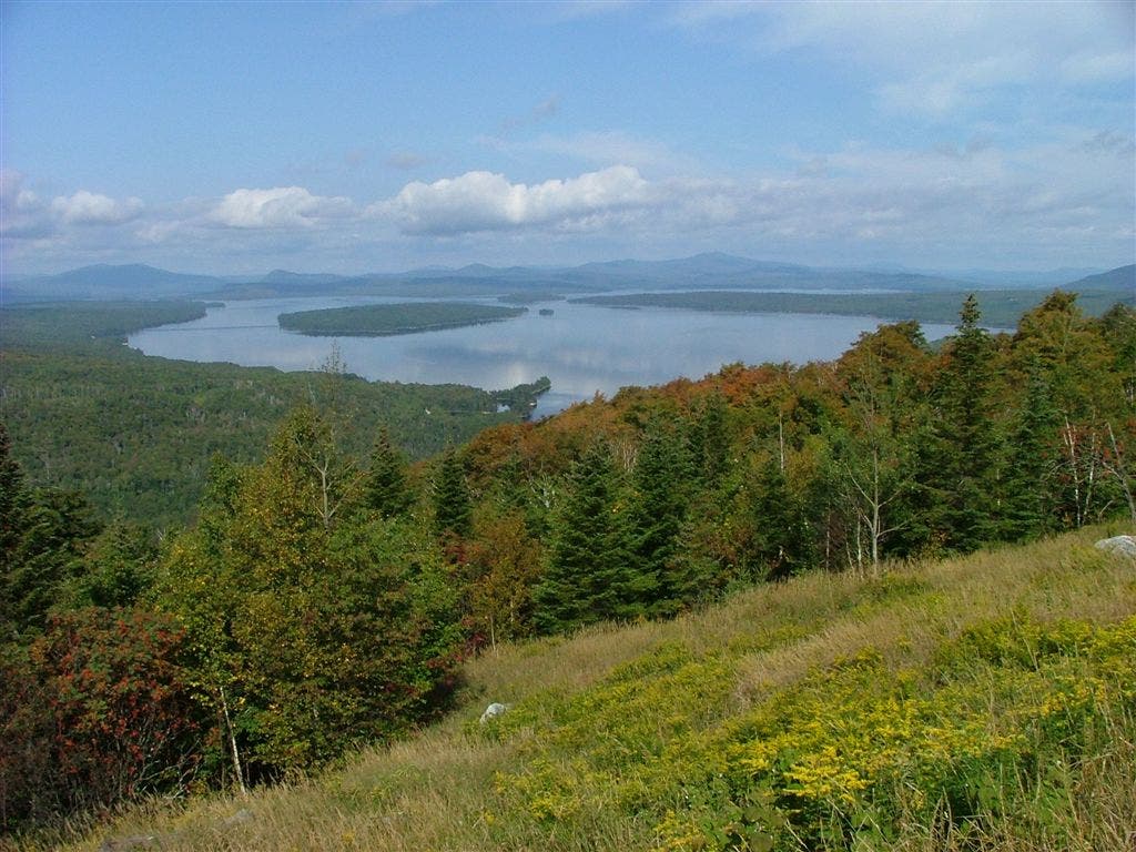
ME 17. View of Mooselookmeguntic Lake
WPT021
Location: 44.7255172729492, -70.7825164794922
Valley view down steep mountain to road in distance
WPT008
Location: 44.8102836608887, -70.7558670043945
Bemis Mtn. Lean-to
WPT003
Location: 44.8349342346191, -70.7221527099609
Bemis Stream
WPT019
Location: 44.7471504211426, -70.7654190063476
Old Blue Mtn.
WPT012
Location: 44.7952156066894, -70.7683868408203
Bemis Mtn.
WPT011
Location: 44.7967987060547, -70.7671508789062
View lakes
DSCF9070
Location: 44.8053894042969, -70.760856628418
DSCF9085
Location: 44.8359832763672, -70.7100524902344