Appalachian Trail: Snickers Gap to Keys Gap

Shelters: Blackburn Trail Center; sleeps 8. David Lesser Memorial Shelter; sleeps 6; privy.


Trail Facts
- Distance: 21.6
Waypoints
WPT010
Location: 39.1894989, -77.7996674
Side trail to Blackburn Trail Center and hostel (sleeps 8)
WPT002
Location: 39.2431335, -77.7697525
Jeep road
WPT014
Location: 39.1436653, -77.831665
Ridge to River Trail Jct.; Sand spring
WPT004
Location: 39.2273483, -77.7792969
David Lesser Shelter
WPT002
Location: 39.1366158, -77.842514
Stream crossing
WPT015
Location: 39.1395493, -77.8337326
Pass side trail to TWR
WPT005
Location: 39.2275314, -77.7800827
Side trail to David Lesser Shelter
WPT016
Location: 39.2611008, -77.7622833
Road crossing @ Keys Gap; trailhead to parking across road
WPT016
Location: 39.1392174, -77.837532
Climb with views
WPT003
Location: 39.1334839, -77.8462143
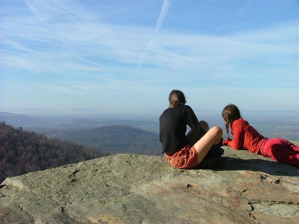
View to the W
WPT017
Location: 39.2605667, -77.7642822
Spring polluted
WPT011
Location: 39.1868515, -77.8007813
Side trail to Blackburn Trail Center and hostel (sleeps 8)
WPT009
Location: 39.1878166, -77.7979507
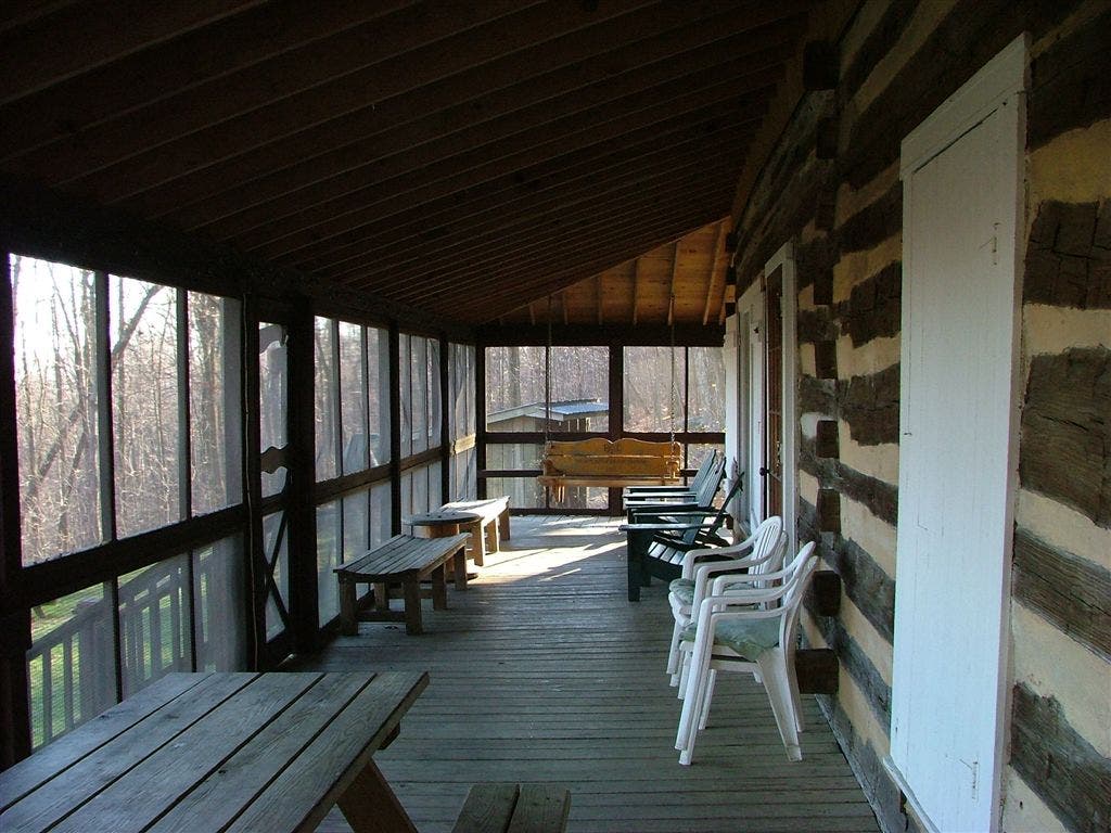
Blackburn Trail Center and hostel
WPT012
Location: 39.1770172, -77.8049011
Trail jct.
WPT005
Location: 39.1237335, -77.8531494
Stream crossing; Pigeon Hollow
WPT006
Location: 39.1907654, -77.7991867
Side trail to views of Buzzard Rock
WPT013
Location: 39.1430321, -77.8302307
Powerline
WPT003
Location: 39.2381172, -77.7705154
Jeep road to towers
WPT006
Location: 39.1225662, -77.8522186
View NW
WPT001
Location: 39.1392822, -77.8376465
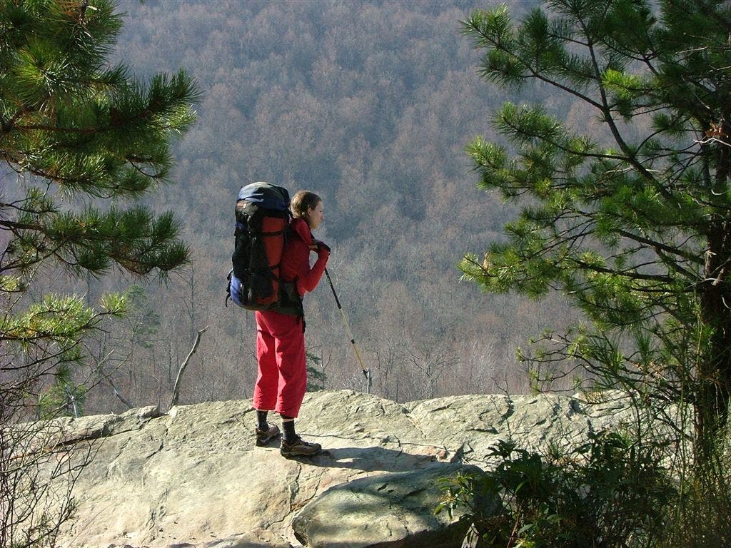
View of Raven Rocks
WPT007
Location: 39.1166992, -77.8523178
Snickers Gap; parking; VA 7
WPT008
Location: 39.1891823, -77.7986832
Unmarked campsite
DSCF1891
Location: 39.1394234, -77.8372498
DSCF1879
Location: 39.1877518, -77.7980652
DSCF1902
Location: 39.2289925, -77.779007
DSCF1873
Location: 39.2271233, -77.7793503