Appalachian Trail: Port Clinton to PA 309

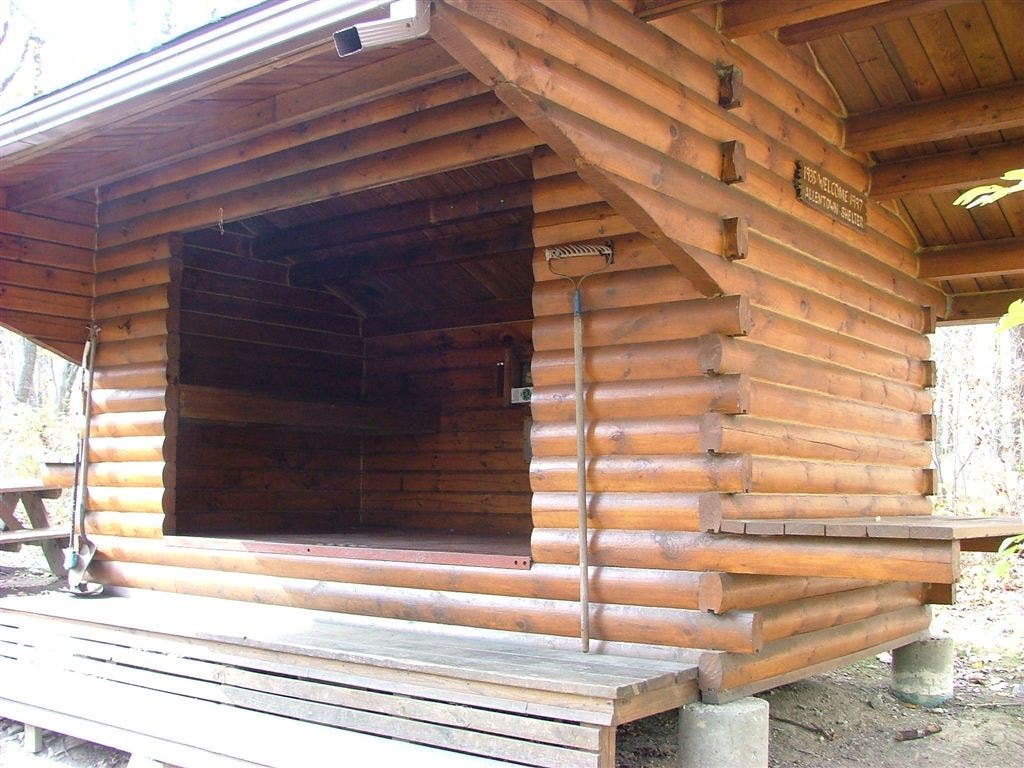
Shelters: Windsor Furnace Shelter; sleeps 8. Eckville Shelter; sleeps 6. Allentown Shelter; sleeps 8.
Trail Facts
- Distance: 42.6
Waypoints
WPT036
Location: 40.5788497924805, -76.0249328613281
AT veers R
WPT014
Location: 40.596866607666, -75.931770324707
Pulpit Rock
WPT016
Location: 40.6943511962891, -75.8415298461914
Jacksonville Synders Rd; Parking
WPT020
Location: 40.683048248291, -75.8739166259766
Allentown Shelter
WPT021
Location: 40.6805648803711, -75.8830032348633
Blue blaze to top of rocks
WPT002
Location: 40.5802421569824, -76.0251693725586
Port Clinton; AT turns R onto Penn St.
WPT023
Location: 40.6758651733398, -75.8938827514648
Blue blaze to Tri-County Corner
WPT034
Location: 40.5742149353027, -76.0201187133789
AT goes under PA 61 and then crosses small backroad to Hamburg
WPT032
Location: 40.5792503356934, -76.0181350708008
View to the S
WPT026
Location: 40.6603660583496, -75.9396820068359
Scramble
WPT024
Location: 40.5888824462891, -75.9679489135742
Minnehana Spring
WPT002
Location: 40.6234169006348, -75.9587173461914
AT west turns W on trail
WPT028
Location: 40.5821342468262, -75.9866180419922
Pocahontas Campsite
WPT012
Location: 40.7074317932129, -75.8073654174805
PA 309; Blue Mountain Summit; parking
WPT037
Location: 40.5801315307617, -76.0251159667969
AT turns R onto Penn St.
WPT022
Location: 40.675968170166, -75.8920669555664
Blue Blaze to PA 143
WPT027
Location: 40.6581840515137, -75.9454650878906
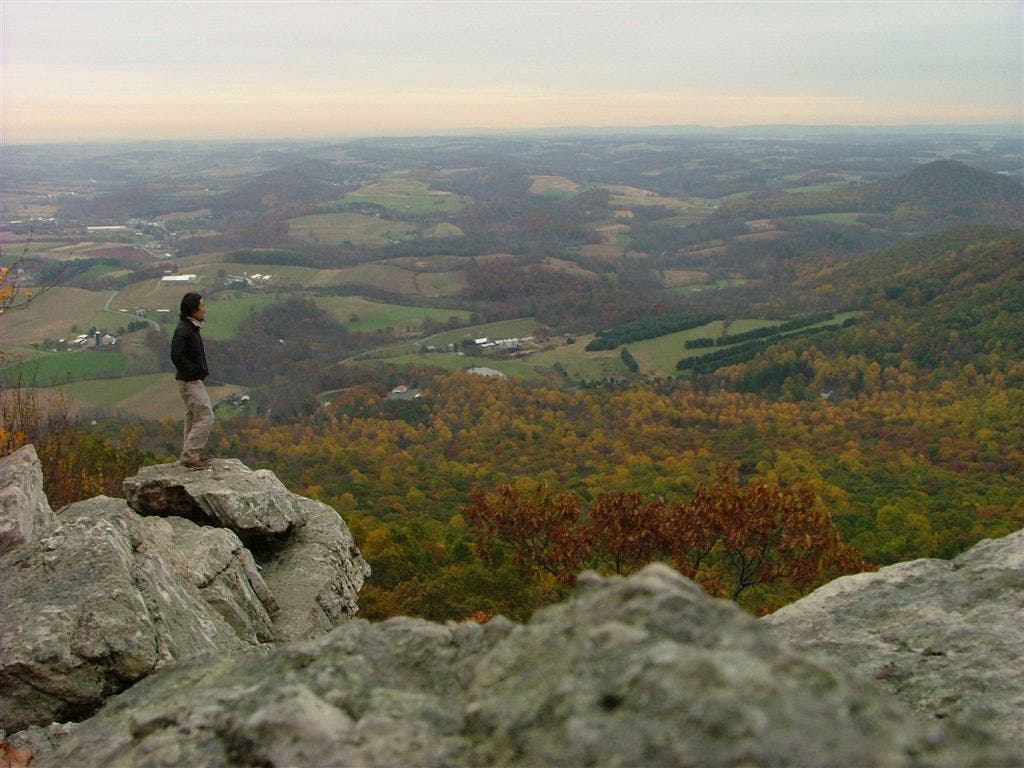
Dan’s Pulpit; panoramic view
WPT021
Location: 40.5896987915039, -75.9440536499024
Blue blaze to Furnace Creek Campsite; cross gravel road
WPT010
Location: 40.6132011413574, -75.9117813110352
The Pinnacle
WPT032
Location: 40.6385345458984, -75.9592514038086
AT turns W; stream
WPT022
Location: 40.587833404541, -75.9568634033203
AT turns E
WPT006
Location: 40.6057510375977, -75.9453506469726
Blue blaze to Gold spring
WPT013
Location: 40.597484588623, -75.9329833984375
Near telephone
WPT024
Location: 40.6631317138672, -75.9234848022461
Blue blaze to Dan’s Spring; 90 yards
WPT013
Location: 40.7054672241211, -75.8122024536133
AT turns E
WPT003
Location: 40.6116676330566, -75.9646148681641
Stream
WPT018
Location: 40.5892448425293, -75.9403381347656
Trail to Windsor Furnace Shelter
WPT015
Location: 40.5964660644531, -75.9319686889648
Privy at Lehigh Valley Amateur Astronomical Society Inc.
WPT034
Location: 40.6337509155273, -75.9578704833984
Eckville Shelter
WPT014
Location: 40.6974983215332, -75.8333129882812
Lehigh Cement Marker
WPT011
Location: 40.6085014343262, -75.9176483154297
Yellow blaze Pinnacle Trail
WPT025
Location: 40.6606330871582, -75.9341812133789
Blue blaze
WPT019
Location: 40.5904846191406, -75.9412689208984
Windsor Furnace Shelter
WPT001
Location: 40.6337051391602, -75.9608154296875
Hawk Mountain Road; trail to Eckville Shelter
WPT007
Location: 40.6068344116211, -75.9404830932617
Field
WPT029
Location: 40.6515159606934, -75.9594192504883
Blue blaze Skyline Trail to Hawk Mountain Sanctuary 2 mi.
WPT028
Location: 40.6569175720215, -75.9550323486328
AT turns E
WPT026
Location: 40.5829658508301, -75.9849014282226
Pocahontas Spring Bypass to Port Clinton
WPT030
Location: 40.5833511352539, -75.988883972168
Yellow blaze bypass
WPT012
Location: 40.5975151062012, -75.9339981079102
Tower; gravel road
WPT017
Location: 40.5971984863281, -75.9278182983398
Blue blaze Blue Rocks Trail to E; leads to Blue Rocks Campground
WPT009
Location: 40.6127510070801, -75.9129638671875
Blue-blazed trail to Pinnacle overlook (best view in PA)
WPT029
Location: 40.5820999145508, -75.986930847168
AT striaght @ jct. with blue blaze trail to the E
WPT019
Location: 40.6836013793945, -75.8738021850586
Trail to shelter
WPT005
Location: 40.6056671142578, -75.9569320678711
AT turns through old gates @ jct. with blue blaze trail
WPT008
Location: 40.6128349304199, -75.9171829223633
AT joins gravel road
WPT017
Location: 40.6920166015625, -75.8461990356445
AT turns E
WPT016
Location: 40.5961494445801, -75.9316177368164
AT turns E around white rocks
WPT018
Location: 40.683967590332, -75.8688354492188
Blue blaze to Yellow spring
DSCF0864
Location: 40.6581840515137, -75.9455795288086
DSCF0898
Location: 40.6261329650879, -75.9584503173828
DSCF0915
Location: 40.6130180358887, -75.9115142822266
DSCF0927
Location: 40.5888481140137, -75.9683303833008
DSCF0843
Location: 40.6833343505859, -75.8738861083984
DSCF0860
Location: 40.6581840515137, -75.9455795288086
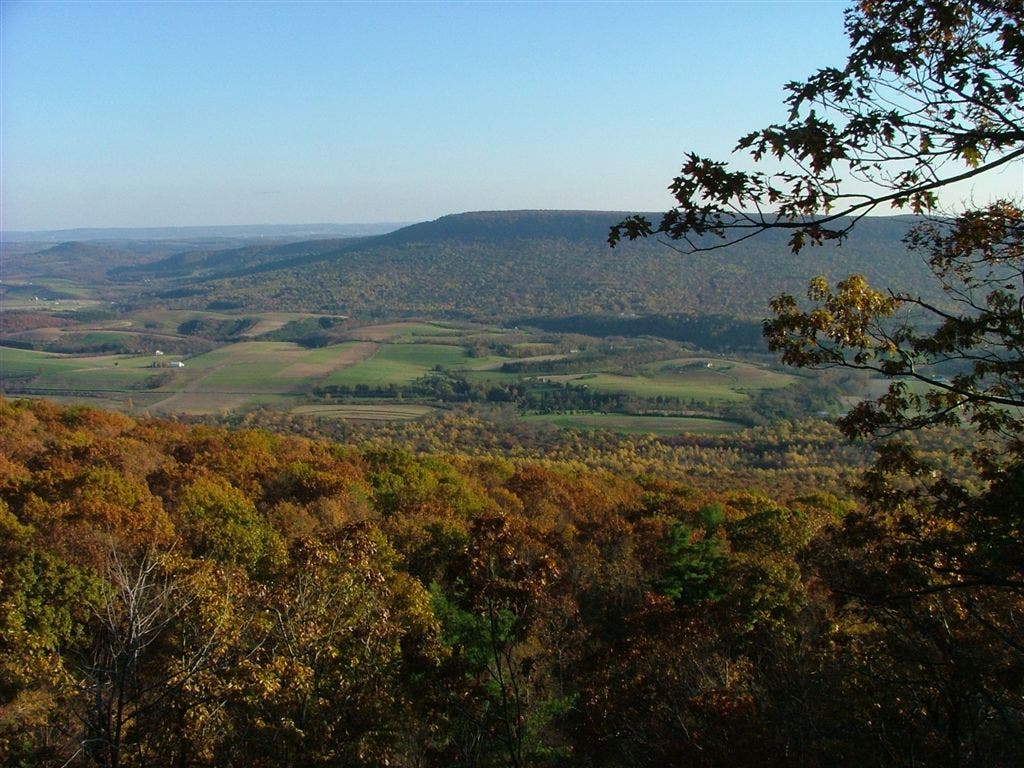
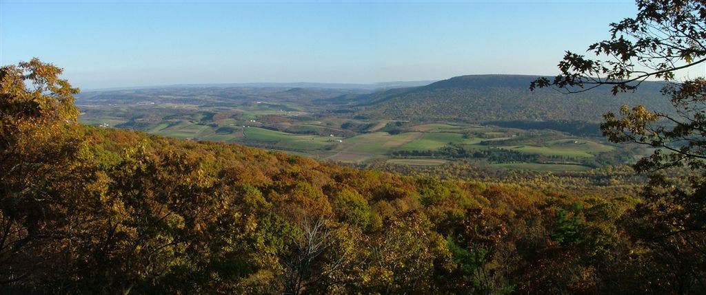
The view from Dans Pulpit
Location: 40.6581802368164, -75.9455795288086