Appalachian Trail: Pinkham Notch Visitor Center to Hogan Road

Carter Notch Hut; sleeps 30. Rattle River Shelter; sleeps 8.
Trail Facts
- Distance: 31.5
Waypoints
WPT009
Location: 44.2477989196777, -71.2335968017578
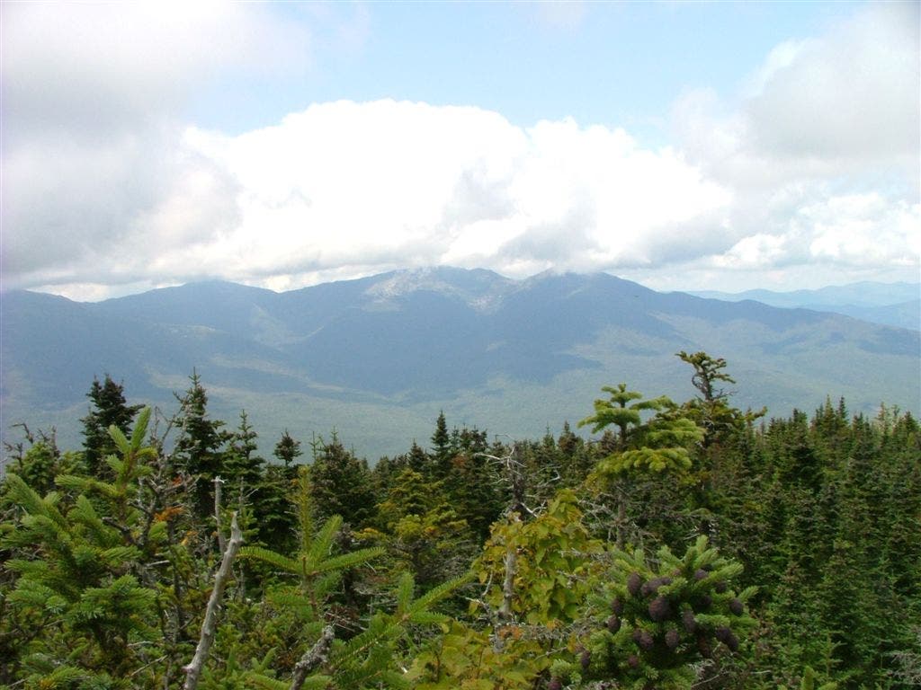
View of Washington Ridge
WPT030
Location: 44.257266998291, -71.2531356811524
Pinkham Notch Visitor Center; parking
WPT002
Location: 44.2458000183106, -71.2514190673828
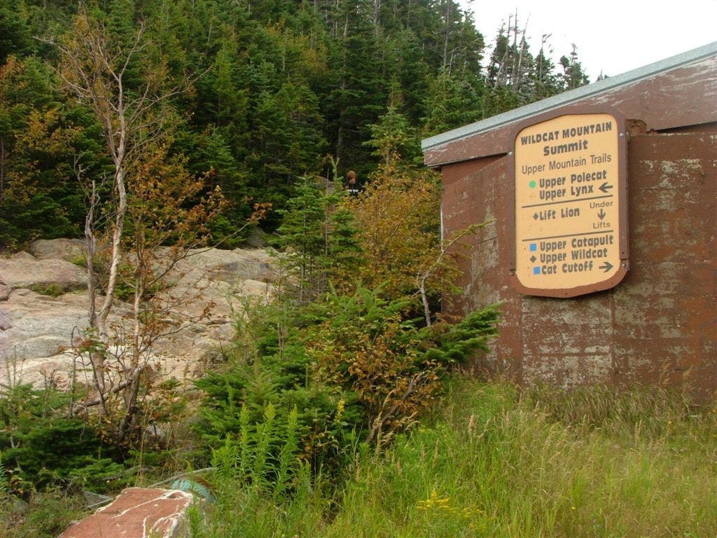
AT turns W and follows the Wildcat Ridge Trail
WPT024
Location: 44.3154678344727, -71.1634674072266
View of AT to the N
WPT024
Location: 44.2602958679199, -71.1947631835938
AT turns W on Carter Moriah Trail @ jct. with trail to Carter Notch Hut
WPT005
Location: 44.3315162658691, -71.1428146362305
Valley view
WPT020
Location: 44.3049659729004, -71.1684646606445
Views
WPT014
Location: 44.3605003356934, -71.1139678955078
Cross Rattle River
WPT025
Location: 44.3155670166016, -71.1631698608398
AT become steep
WPT018
Location: 44.303050994873, -71.1677703857422
Middle Carter Mountain
WPT021
Location: 44.2616844177246, -71.195686340332
AT turns E along Nineteen-Mile Brook Tr.
WPT019
Location: 44.2587661743164, -71.2016296386719
Wildcat Mountain
WPT013
Location: 44.2491340637207, -71.2239685058594
View to the S
WPT014
Location: 44.2808837890625, -71.1734161376953
Zeta Pass; Carter Dome Tr. jct.
WPT007
Location: 44.3332328796387, -71.1358489990234
AT begins climbing a slab
WPT009
Location: 44.3401985168457, -71.1314849853516
AT heads E on the Kenduskeag Tr. @ jct. with Carter Moriah Tr. going W; Mt. Moriah
WPT003
Location: 44.2642517089844, -71.1857681274414
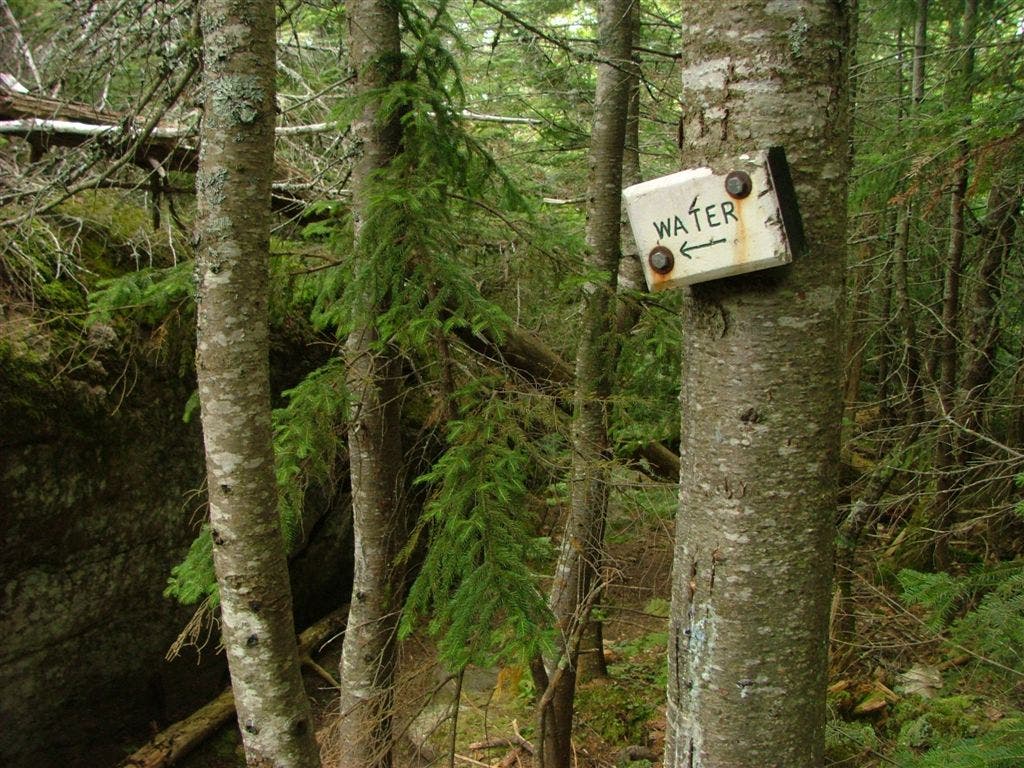
Trail and sign to water
WPT034
Location: 44.2537841796875, -71.2520980834961
River access
WPT011
Location: 44.3485488891602, -71.1160507202148
AT becomes Rattle Rver Tr & Kenduskeag Tr
WPT031
Location: 44.2566833496094, -71.2523803710938
NH 16; Pinkham Notch
WPT022
Location: 44.4003982543945, -71.1099166870117
US 2; parking
WPT016
Location: 44.3606147766113, -71.1137466430664
End new trail section
WPT021
Location: 44.3918151855469, -71.1067199707031
Stream
WPT023
Location: 44.2608489990234, -71.1946029663086
First lake (larger of the two)
WPT010
Location: 44.2712669372559, -71.175537109375
AT continues straight @ jct. with Black Angel Trail & Carter Dome Trail
WPT022
Location: 44.3126983642578, -71.1654510498047
Amazing views to the E
WPT015
Location: 44.2899169921875, -71.1762008666992
South Carter Mountain
WPT014
Location: 44.2493667602539, -71.2236175537109
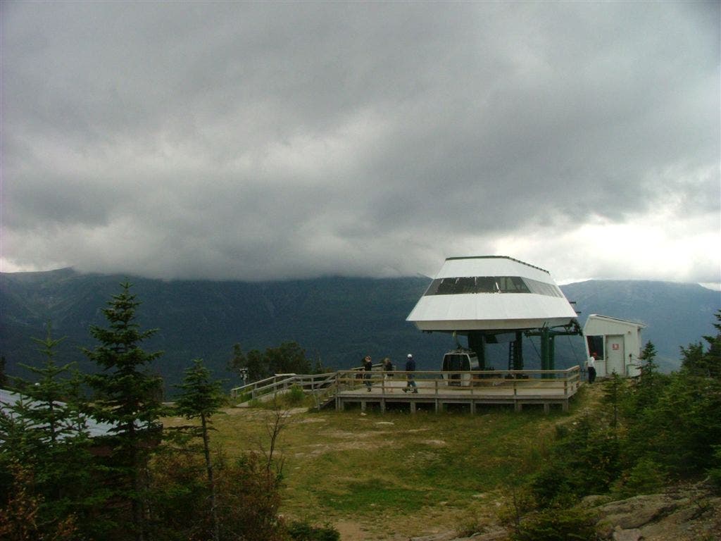
Tower; platform
WPT005
Location: 44.247200012207, -71.2423477172852
Ledge with view
WPT012
Location: 44.2759323120117, -71.1702194213867
Mt. Hight; AT turns W downhill; look carefully for blazes
WPT027
Location: 44.3245658874512, -71.1510696411133
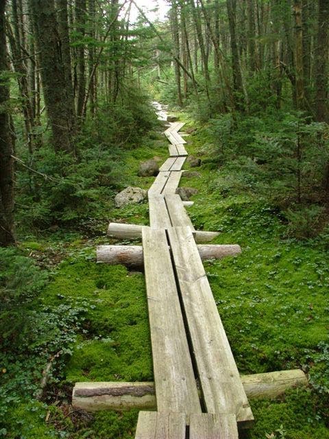
AT crosses a boardwalk made of bog boards
WPT012
Location: 44.3528671264648, -71.11376953125
Stream
WPT020
Location: 44.2589988708496, -71.2015151977539
USFS Vista; look for Carter Notch Hut
WPT017
Location: 44.3751487731934, -71.1082305908203
Rattle River
WPT013
Location: 44.2789344787598, -71.1735687255859
AT turns E on Carter Moriah Tr.; Carter Dome Tr.
WPT023
Location: 44.4006004333496, -71.1110992431641
AT follows US 2 west
WPT026
Location: 44.3234672546387, -71.1518859863281
Stream
WPT003
Location: 44.4035148620606, -71.1147003173828
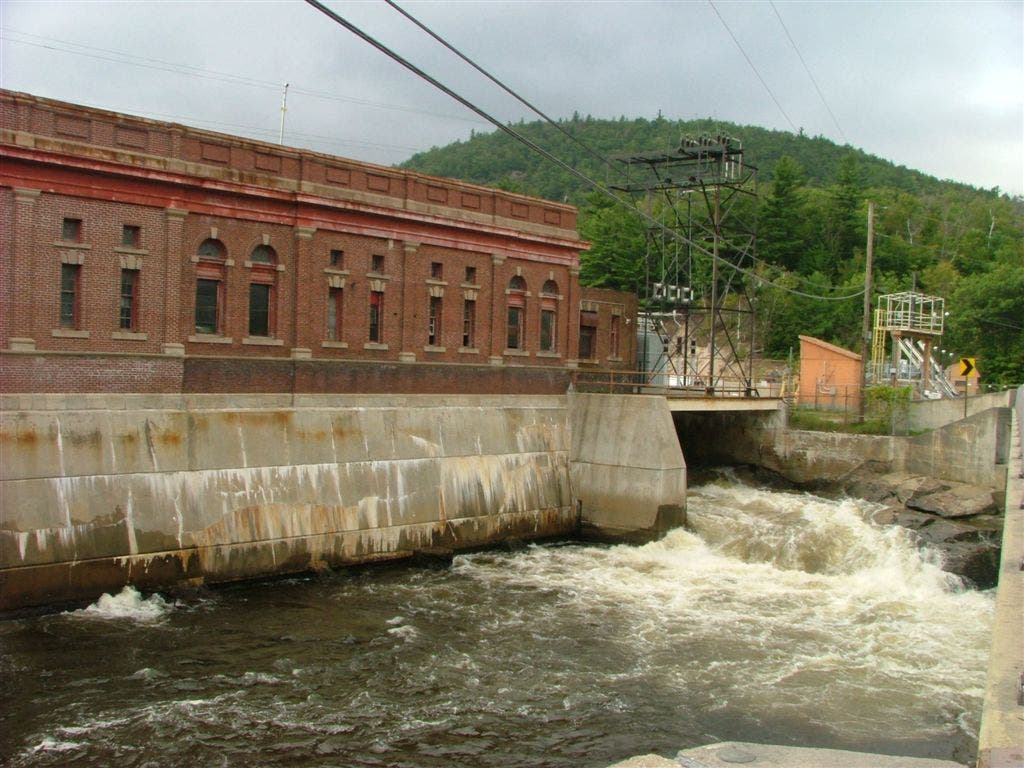
Androscoggin River; Hydroelectric Plant
WPT008
Location: 44.2480659484863, -71.2378463745117
Water
WPT001
Location: 44.2495155334473, -71.2502670288086
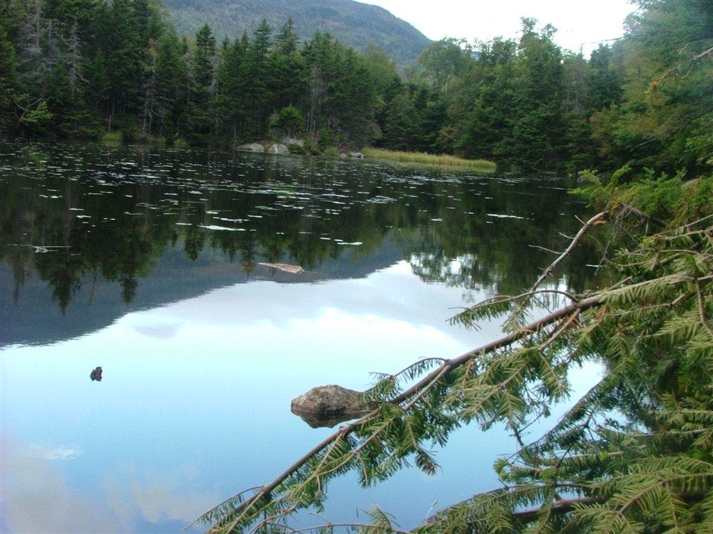
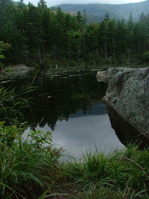
Lost Pond; can see reflections of Mt. Washington
WPT021
Location: 44.3102874755859, -71.1677932739258
North Carter Trail
WPT023
Location: 44.3133010864258, -71.1649475097656
North Carter Mountain
WPT019
Location: 44.3034820556641, -71.168098449707
360-degree views; look for Mt. Washington
WPT016
Location: 44.2989654541016, -71.1729965209961
Views to the SE & NW
WPT003
Location: 44.2464828491211, -71.2482299804688
View of Pinkham Notch; Presidential Ridge; NH 16
WPT006
Location: 44.3328514099121, -71.1376495361328
View to the WSW of Imp Mtn
WPT020
Location: 44.3799514770508, -71.1076354980469
Rattle River Shelter
WPT004
Location: 44.4065017700195, -71.1167984008789
AT turns W on Hogan Rd.
WPT024
Location: 44.4002571105957, -71.1122055053711
AT turns N on North Road over Androscoggin River
WPT007
Location: 44.2674179077148, -71.1792831420898
Top of Carter Dome; Old firetower base; Rainbow Trail
WPT029
Location: 44.3287811279297, -71.1497955322266
Imp Campsite
WPT003
Location: 44.3317832946777, -71.1435699462891
AT continues straight @ jct. with Stonybrook Trail & Moriah Brook Trail
WPT019
Location: 44.3779983520508, -71.107666015625
Rattle River
WPT028
Location: 44.3267593383789, -71.149169921875
Trail to Imp Campsite
WPT010
Location: 44.3461494445801, -71.1228179931641
Bog boardwalk
WPT004
Location: 44.2460823059082, -71.2453994750976
Fantastic view to valley carved by the Eilis river
WPT026
Location: 44.2593574523926, -71.1953964233398
Carter Notch Hut
DSCF8782
Location: 44.2490501403809, -71.2247467041016
DSCF8790
Location: 44.2491149902344, -71.2245330810547
DSCF8791
Location: 44.2525177001953, -71.2043151855469
DSCF8830
Location: 44.2727012634277, -71.1752471923828
DSCF8880
Location: 44.403434753418, -71.1146697998047
DSCF8737
Location: 44.249568939209, -71.2502517700195
DSCF8750
Location: 44.2480010986328, -71.2379531860352
DSCF8688
Location: 44.2492637634277, -71.2503433227539
DSCF8854
Location: 44.324634552002, -71.1517105102539