Appalachian Trail: PA 325 to PA 443

Shelters: Rausch Gap Shelter; Sleeps 12.


Trail Facts
- Distance: 25.4
Waypoints
WPT015
Location: 40.4484329223633, -76.7475662231445
Spring; may be dry
DSCF1049
Location: 40.4547843933106, -76.7112655639648
WPT014
Location: 40.4544677734375, -76.727165222168
AT leaves jeep rd
WPT006
Location: 40.4864501953125, -76.6325302124024
Cold Spring trail
WPT020
Location: 40.4901008605957, -76.551383972168
Greenpoint School Rd.
WPT020
Location: 40.4512977600098, -76.775764465332
Clark Creek; parking
WPT001
Location: 40.4987373352051, -76.6000213623047
Rausch Gap Shelter
WPT023
Location: 40.4951667785644, -76.5759353637695
AT turns W
WPT011
Location: 40.4546852111816, -76.7112350463867
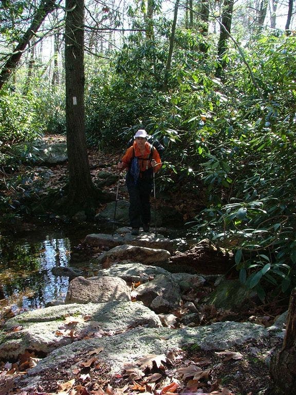
Small streem; rhododendron forest
WPT010
Location: 40.4535179138184, -76.7103805541992
AT turns W
WPT021
Location: 40.4936485290527, -76.5536804199219
Old Woods Rd.
WPT028
Location: 40.5014495849609, -76.6001205444336
Trail to Rausch Gap Shelter (.3 mi.)
WPT018
Location: 40.4501342773438, -76.7746810913086
Pipeline
WPT012
Location: 40.455249786377, -76.7195129394531
Tower Base
WPT017
Location: 40.4827842712402, -76.5507507324219
PA 443; trail leads through underpass
WPT025
Location: 40.4960823059082, -76.5916976928711
Cemetary
WPT018
Location: 40.4832649230957, -76.5502319335938
Ford stream
WPT017
Location: 40.448844909668, -76.7720260620117
Red Blaze Henry Knavber Trail; spring
WPT024
Location: 40.495231628418, -76.5896530151367
Stony Creek
WPT009
Location: 40.470832824707, -76.6725158691406
Small streem; blue blaze Yellow Spring trail
WPT027
Location: 40.4984321594238, -76.5987701416016
AT continues straight; old RR grade
WPT026
Location: 40.4976005554199, -76.5951843261719
AT turns E; Rausch Creek
WPT016
Location: 40.4488182067871, -76.7705307006836
Rocky
WPT019
Location: 40.4509010314941, -76.7756500244141
AT turns W; Gravel rd; Blue blaze trail
DSCF1050
Location: 40.4547004699707, -76.7211685180664
WPT022
Location: 40.4966850280762, -76.5736312866211
Middle Patch Path
WPT013
Location: 40.4547157287598, -76.7210845947266
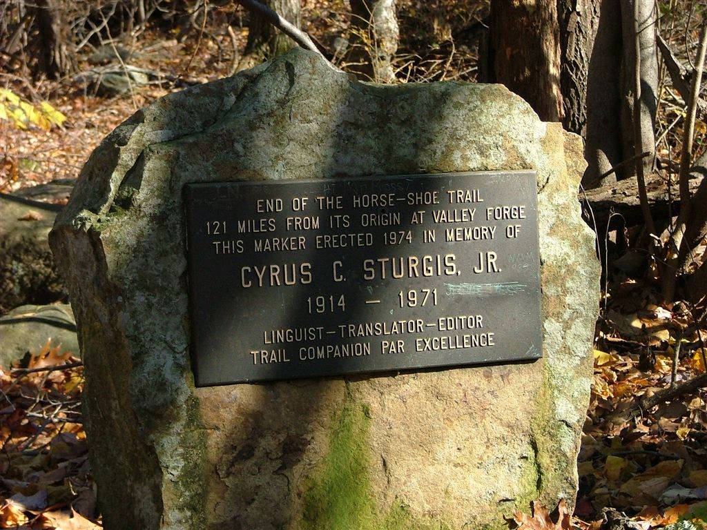
Yellow Blaze Horeshoe Trail
WPT008
Location: 40.4726181030273, -76.6699676513672
Blue blaze to stone tower; ruins of Yellow Springs Village
WPT016
Location: 40.4820976257324, -76.5509033203125
PA 443; parking
WPT007
Location: 40.4860649108887, -76.6362686157226
Blue blaze Sand Spring trail
DSCF1049
Location: 40.4547843933106, -76.7112655639648
DSCF1050
Location: 40.4547004699707, -76.7211685180664